
Stubby Springs Trail
View Photos
Stubby Springs Trail
Difficulty Rating:
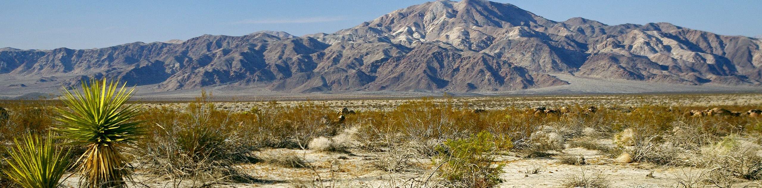
The Stubby Springs Trail is ideal for hikers seeking a more secluded route, as it is less trafficked then many others within Joshua Tree National Park. A longer route, the Stubby Springs Trail possesses an abundance of varieties of cacti, wildflowers, and other desert vegetation.
Getting there
The trailhead for the Stubby Springs Trail is located off of Juniper Flats Road.

About
| Backcountry Campground | |
| When to do | Year Round |
| Pets allowed | No |
| Family friendly | No |
| Route Signage | Poor |
| Crowd Levels | Low |
| Route Type | Lollipop |
Stubby Springs Trail
Elevation Graph
Weather
Stubby Springs Trail Description
The Stubby Springs Trail is a fairly long route with lots of elevation fluctuation, and is therefore likely not appropriate for children or beginner hikers. As the route is within the desert environment of Joshua Tree National Park, it is important that you prepare yourself for the desert conditions. We recommend bringing lots of water and protecting yourself from the sun with sunscreen and a good hat.
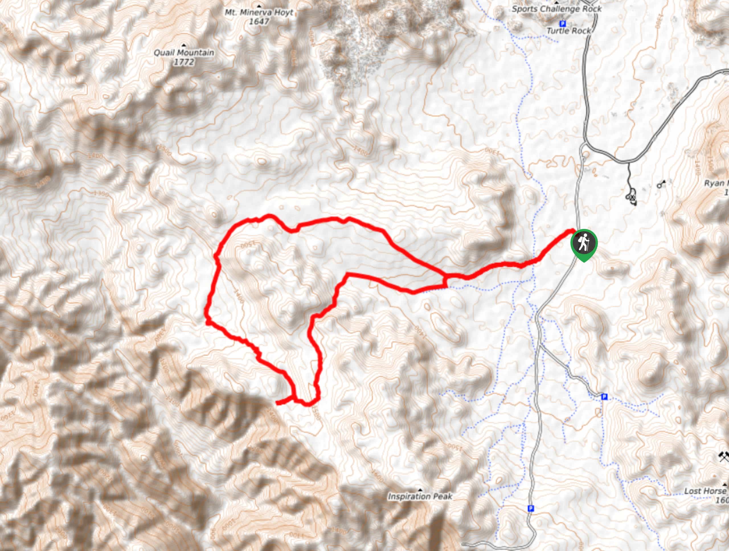
Having parked your vehicle, take the California Riding and Hiking Trail southwest towards the craggy landscape in the foreground. The elevation will begin to incline steadily as you pass the Quail Wash and reach a junction within the trail. At the junction, take the southern path onto Juniper Flats Road and continue along it on a western heading. After traversing some flat terrain, you will arrive at another junction. Take the southern path onto Stubby Springs Loop Trail, and follow it south through the craggy terrain that lay ahead.
After heading south, the trail will veer to the west and you will arrive at another junction. If you are interested in some spectacular views, take the western route onto Fan Canyon View Trail. Once you have enjoyed the scenery, backtrack your way to Stubby Springs Loop Trail, and continue northwest along it. The route will keep heading northwest before changing course north, and declining in elevation. The Stubby Springs Trail will then bring you back to the California Riding and Hiking Trail. Follow the trail all the way back to the trailhead and your waiting vehicle.
Similar hikes to the Stubby Springs Trail hike
Keys View Road to Pinto Basin Road Trail
The Keys View Road to Pinto Basin Road Trail is a moderately difficult one-way route in Joshua Tree National Park.…
Willow Hole Trail
The Willow Hole Trail is a picturesque route that provides lots of opportunities for wildlife viewing throughout its duration. The…
Wall Street Mill Trail
Short in length, but packed with things to see, the Wall Street Mill Trail is an ideal route for families…
Comments