Quail Mountain Via Juniper Flats Trail
View Photos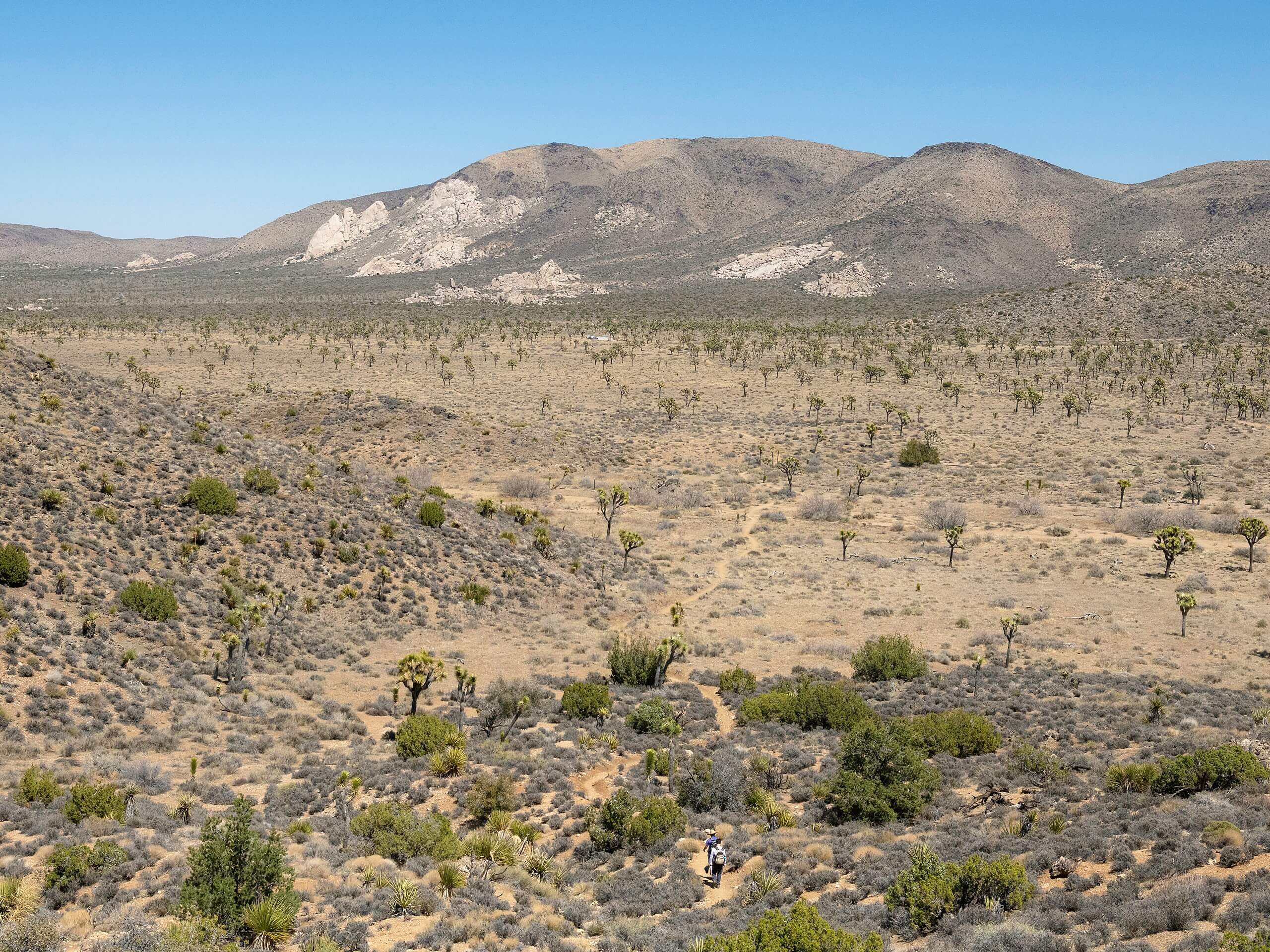
Quail Mountain Via Juniper Flats Trail
Difficulty Rating:
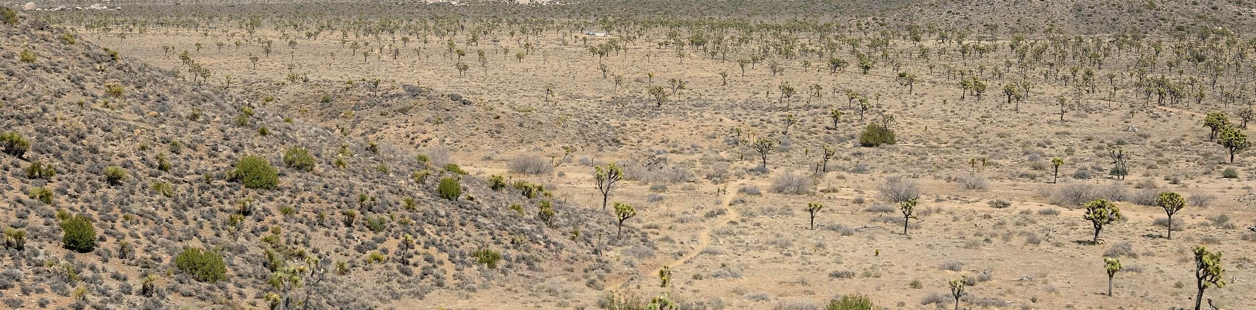
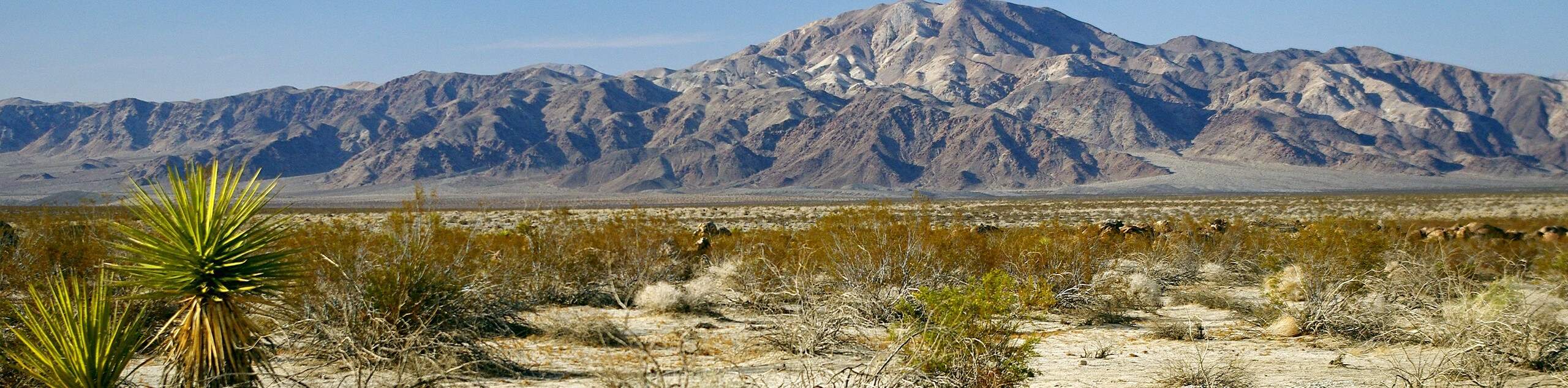
Considered a harder route, the Quail Mountain via Juniper Flats Trail is ideal for those looking for more of a challenge. Longer, and with more elevation gain than many trails within Joshua Tree National Park, the Juniper Flats Hike is less trafficked, and offers a feeling of seclusion. The effort of completing the hike is well worth it, as Quail Mountain itself offers breathtaking panoramic views.
Getting there
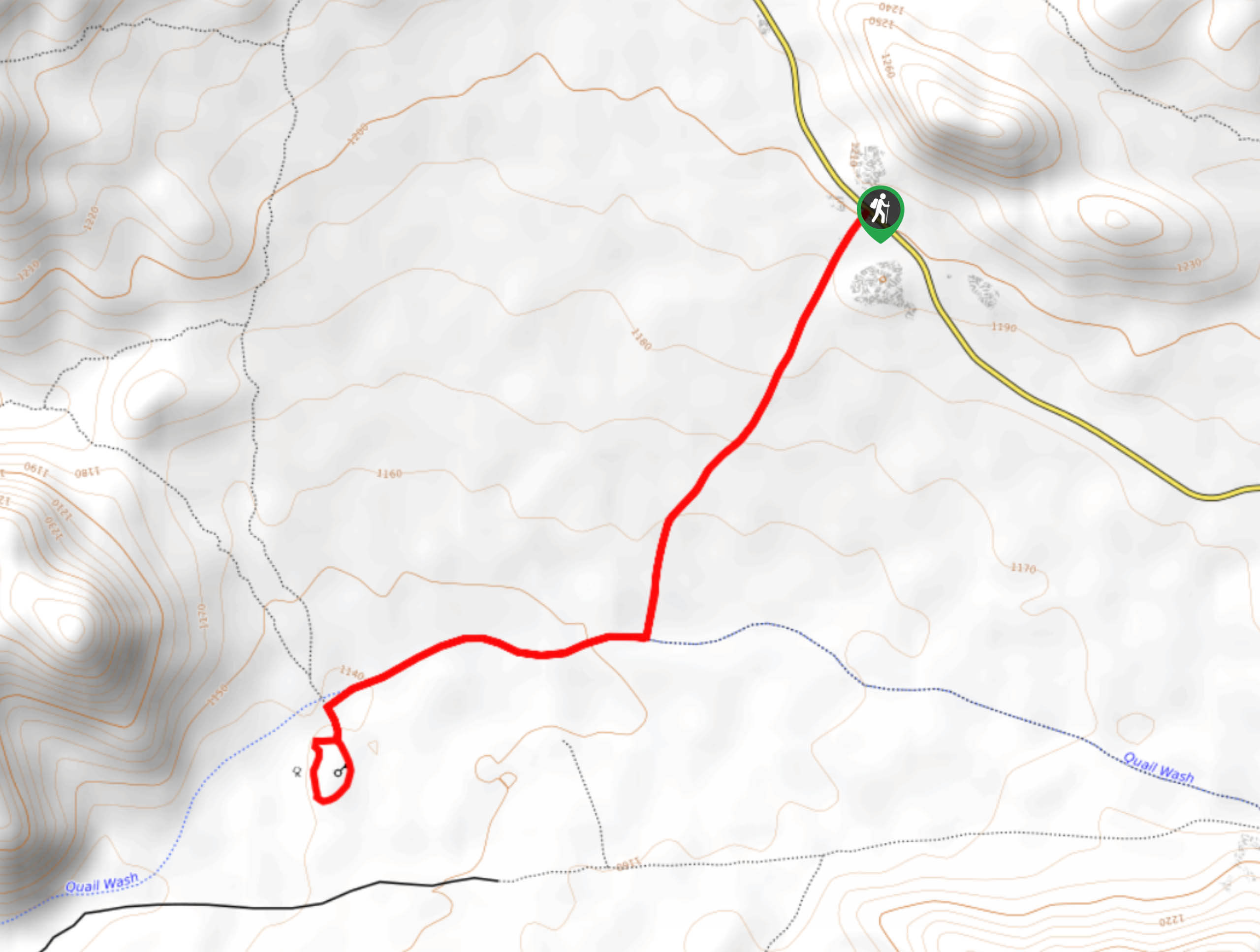
The Trailhead for the Quail Mountain via Juniper Flats Trail can be found at the Juniper Flats parking lot off of Keys View Road.

About
| Backcountry Campground | |
| When to do | Year-round |
| Pets allowed | No |
| Family friendly | No |
| Route Signage | Poor |
| Crowd Levels | Low |
| Route Type | Lollipop |
Quail Mountain Via Juniper Flats Trail
Elevation Graph
Weather
Quail Mountain Via Juniper Flats Trail Description
The Quail Mountain via Juniper Flats Trail is a longer, more strenuous route than many others found within Joshua Tree National Park. In terms of both distance and elevation fluctuation, the Juniper Flats Trail provides more of a physical challenge, and so it is not considered to be family-friendly. As the trail is a longer route within a desert environment, it is important that you ensure both your skills and equipment are sufficient before attempting. Likewise, water is scarce throughout the route, so make sure you bring enough with you.
From the trailhead, head northwest until you meet up with another trail named the California Riding and Hiking Trail. Once there, continue west. After a few miles of relatively flat terrain, the elevation will start to gradually increase before you arrive at a trail junction.
Having arrived at the previously mentioned trail junction, take the northern path on the Stubby Spring Trail. From here, the elevation will continue to increase, and the signage will become less frequent and clear. After a few miles, you will begin to approach Quail Mountain itself, and so you should follow the eastern saddle of the Mountain up towards the summit.
This stretch of the trail is steep,so care should be taken when attempting. After some physically strenuous hiking with a fair amount of elevation gain, the summit of Quail Mountain should be visible. With Quail Mountain summited, take in the incredible views before ascending down the western saddle and retracting your steps back towards the trailhead.
Similar hikes to the Quail Mountain Via Juniper Flats Trail hike
Keys View Road to Pinto Basin Road Trail
The Keys View Road to Pinto Basin Road Trail is a moderately difficult one-way route in Joshua Tree National Park.…
Willow Hole Trail
The Willow Hole Trail is a picturesque route that provides lots of opportunities for wildlife viewing throughout its duration. The…
Samuelsons Rocks Trail
The Samuelsons Rocks Trail is a moderately difficult route that offers scenic views of the surrounding terrain. The highlight of…
Comments