Verdant Pass hike
View Photos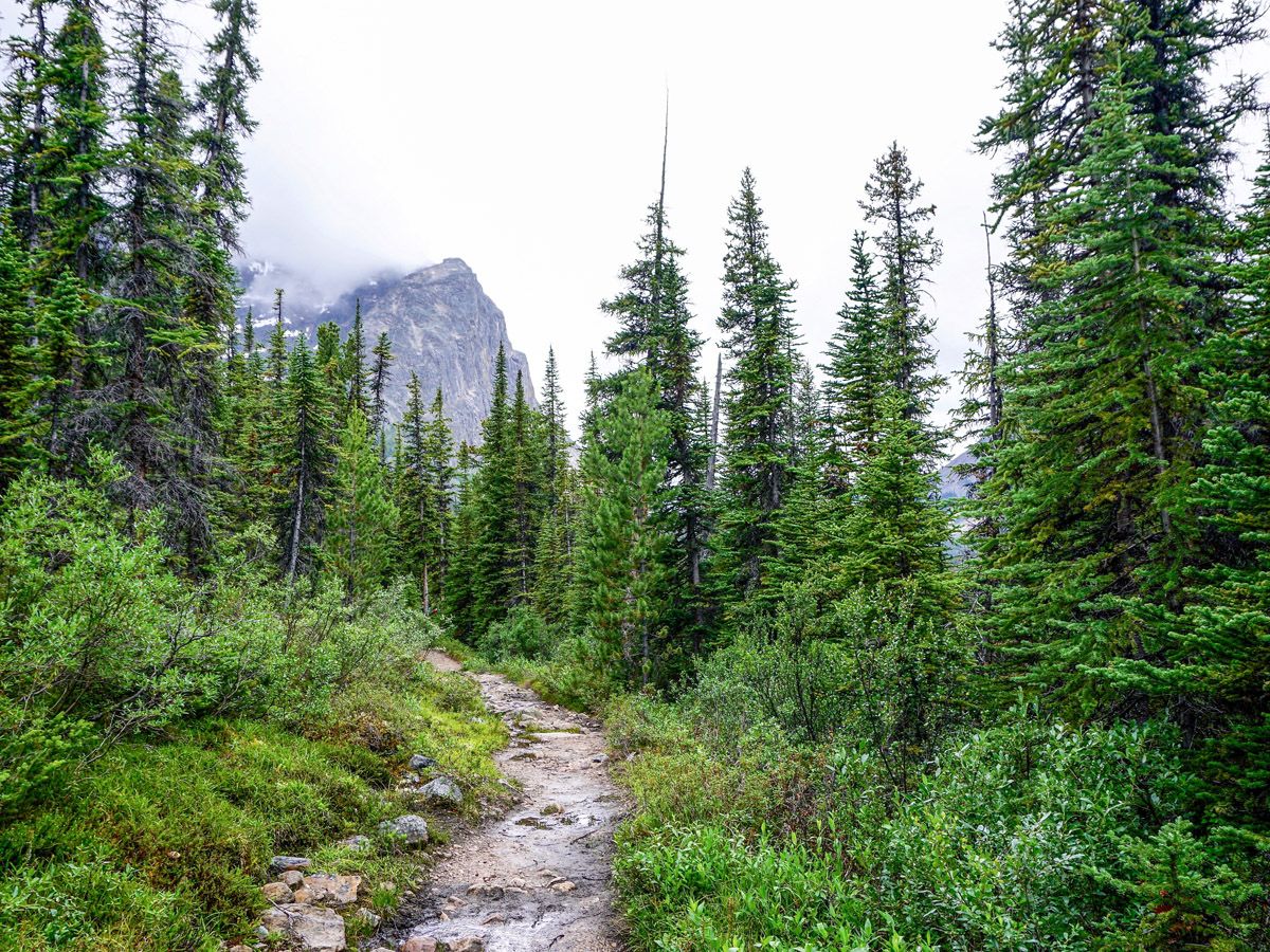
Verdant Pass hike
Difficulty Rating:
A helpful waiter shared this gem as a local’s view of the best hikes in Jasper. This beautiful route goes up to the backside of Mount Edith Cavell offering great views, though the hike on to Verdant Pass involves some route finding and most don't make the entire journey.
Getting there
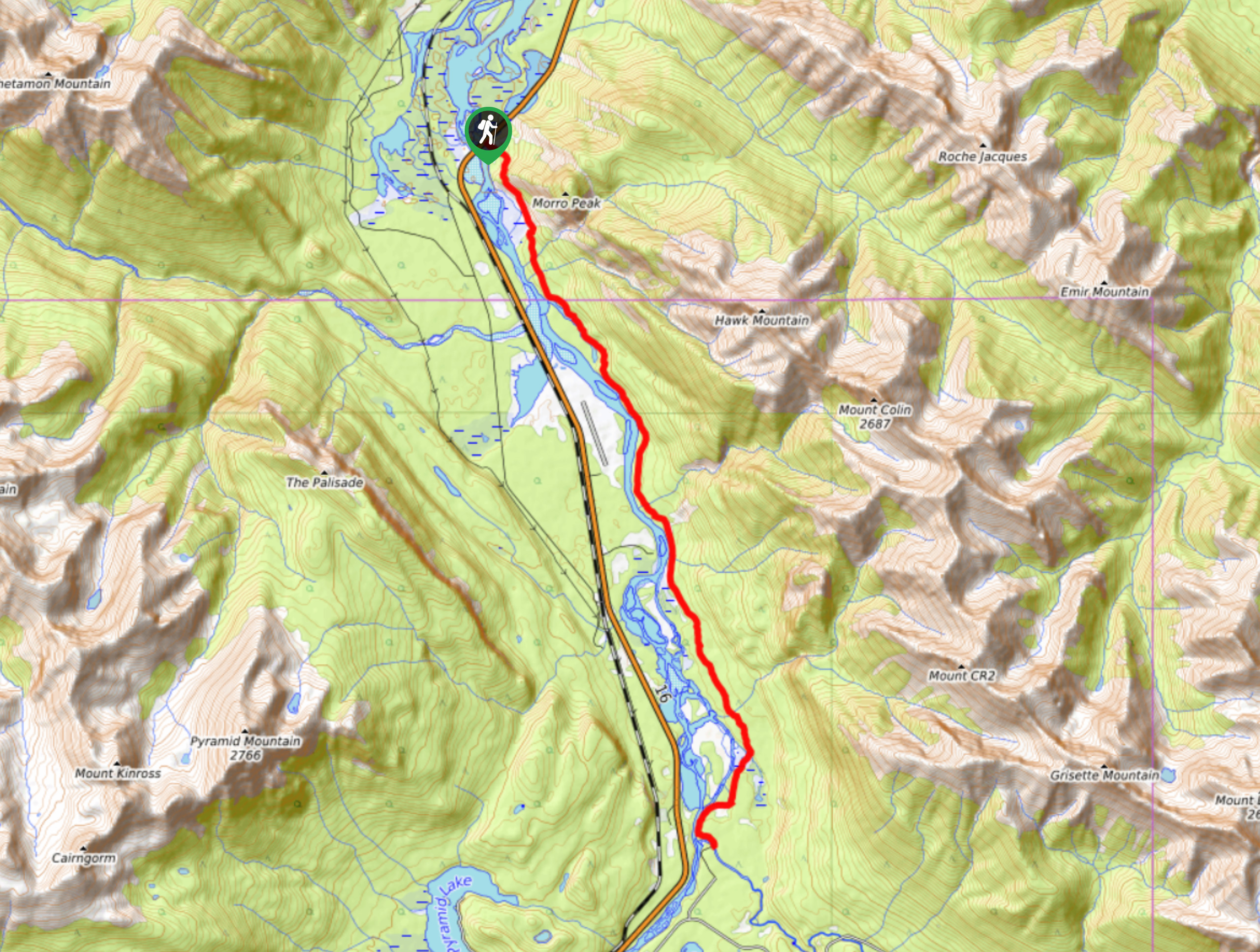
From Jasper take the route 93 south for approximately 7.5mi, then turn right onto Mount Edith Cavell Rd. This road is extremely narrow and taking a campervan up the road is prohibited and trailers or fifth wheels must be left at the bottom. Continue almost to the end of the road, parking across the road from the Edith Cavell Hostel at the Tonquin Valley/Astoria River Trailhead.

About
| When to do | June through September |
| Backcountry Campsites | No |
| Toilets | Trailhead |
| Family friendly | No |
| Route Signage | Poor |
| Crowd Levels | Low |
| Route Type | Out and back |
Verdant Pass
Elevation Graph
Weather
Route Description for Verdant Pass
Due to the fact this trail isn’t well known, we recommend doing this hike with others for safety reasons.
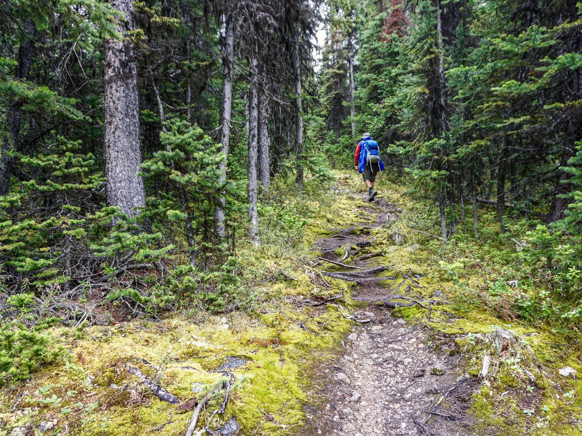
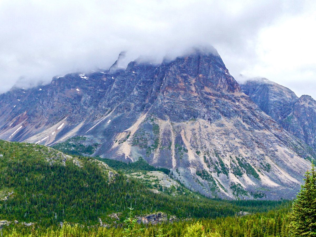
Start along the trail and descend quickly down to the Cavell Lake stream. Look across the beautiful Cavell Lake up to stunning Mt. Edith Cavell. There is only one trail to be taken, so continue across the bridge along the trail. Many backpackers, who continue to an ACC cabin farther up the valley, also use this wide and flat trail. At certain times of the year this route is well trafficked by many bugs and thus bug spray is a must.
Continue on this wide trail and enjoy the intermittent views across the valley of Franchere and Chak Peak. After 2.8mi along the official trail you will see a faint path on your left. This is the unofficial trail that leads to Verdant Pass. There are two moderately sized boulders and a cairn at the fork on your right, however most people miss them – including our group and the group that was also ahead of us. Don’t worry, if you come to the bridge at 3.1mi you have gone too far! Turn around and keep your eyes open for the trail.
The trail up is not maintained, and it quickly narrows as you climb a steep path up to a plateau. Expect to get close up with trees and shrubs and to use natural log bridges if there has been a lot of rain recently. If it has rained earlier, trees and shrubs will unload their water on you as brush past. This is the worst part of the hike, as the trees are thick and yield limited views.
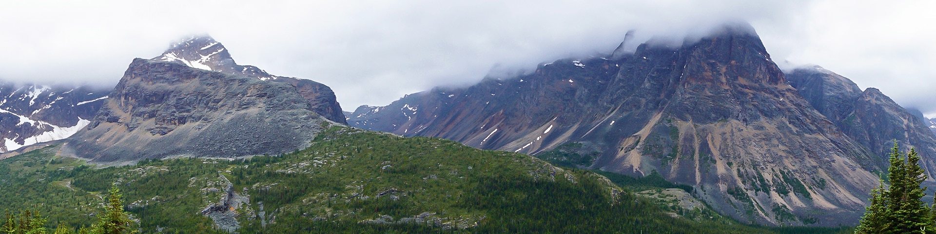
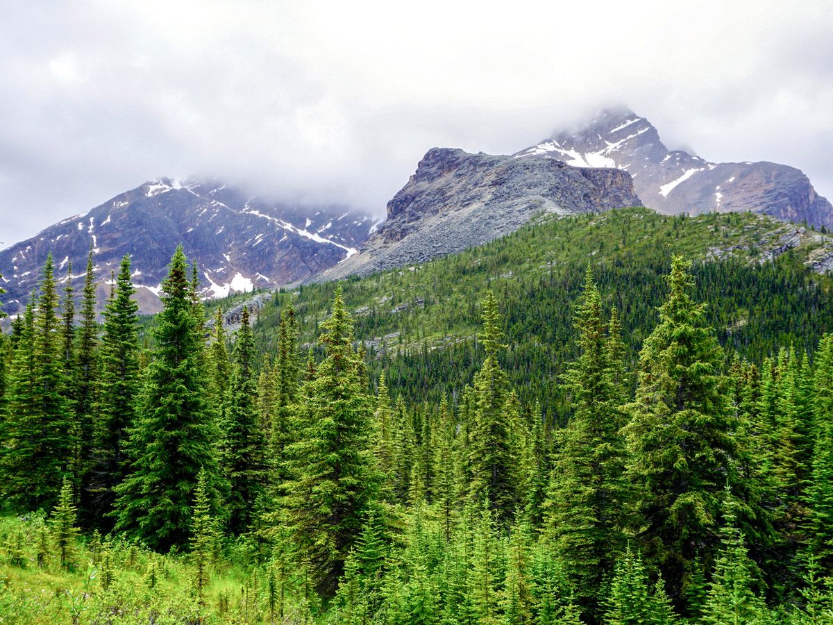
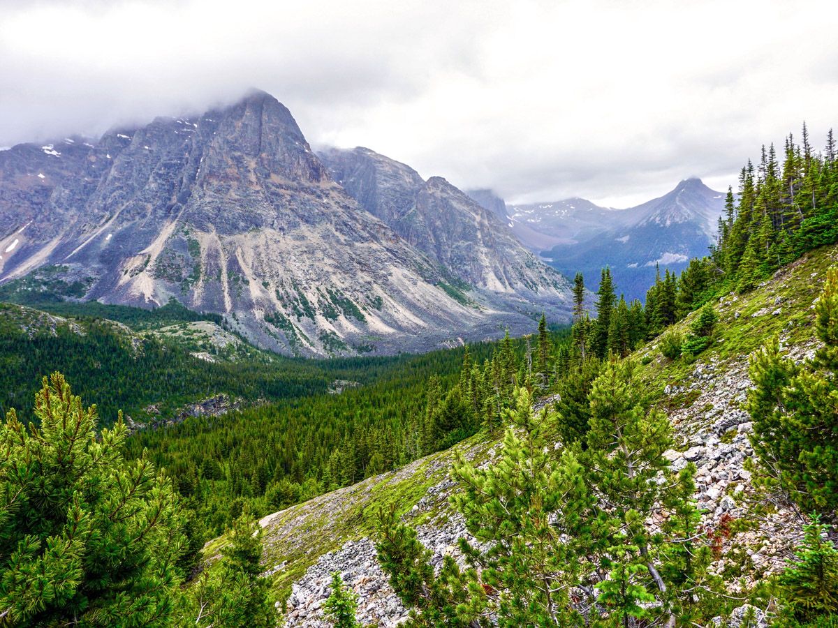
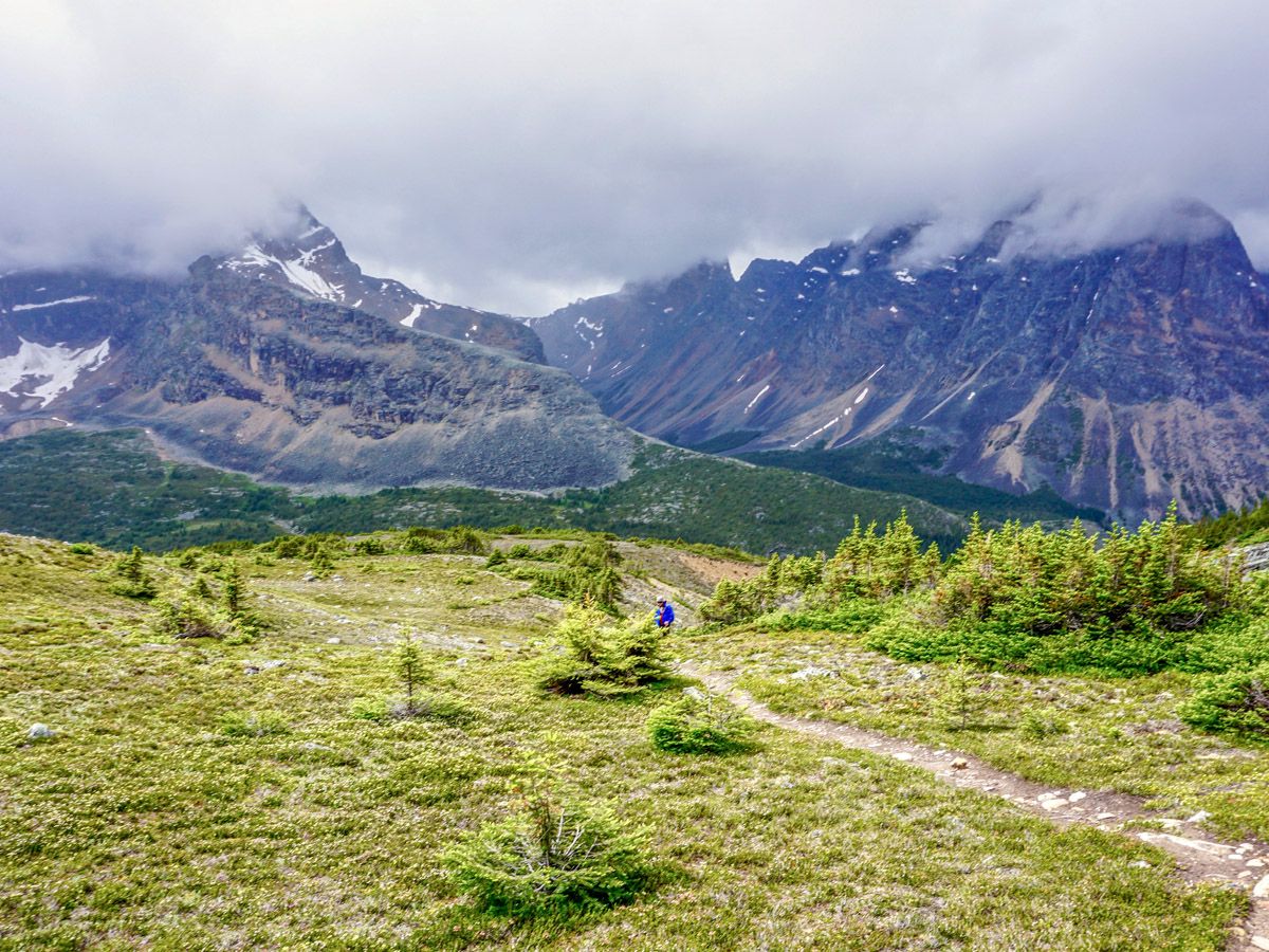
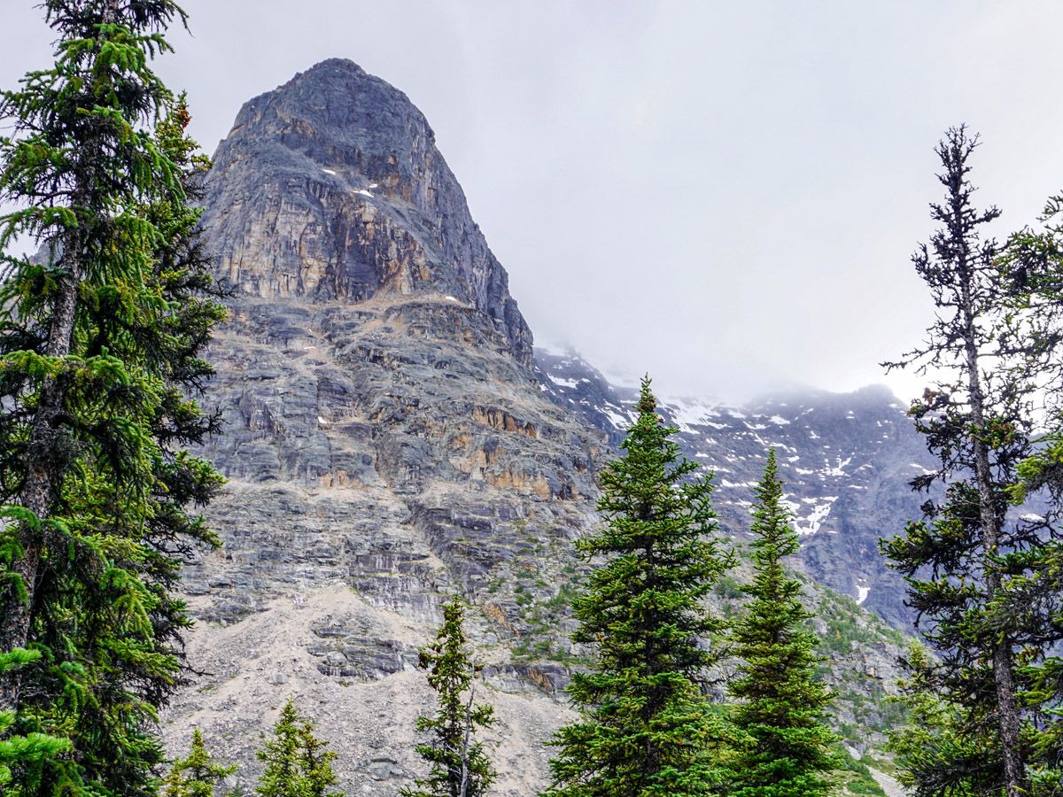
The trees will thin as the grade of the trail increases. After a longer climb you will find yourself at a thinly wooded forest, with views across of Throne Valley on the right and the sloping Chevron Mountain on the left. From here you have finished essentially all the climbing of the hike.
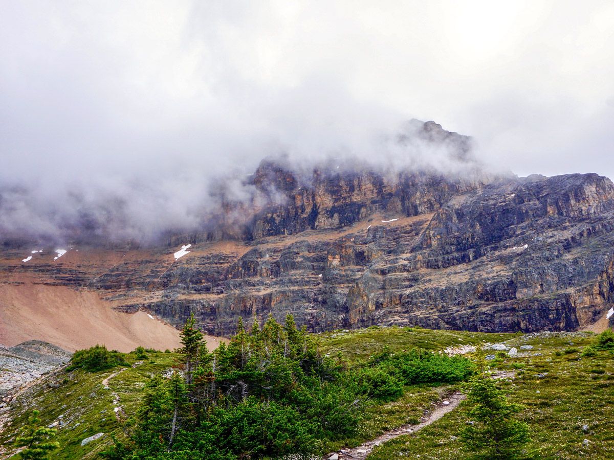
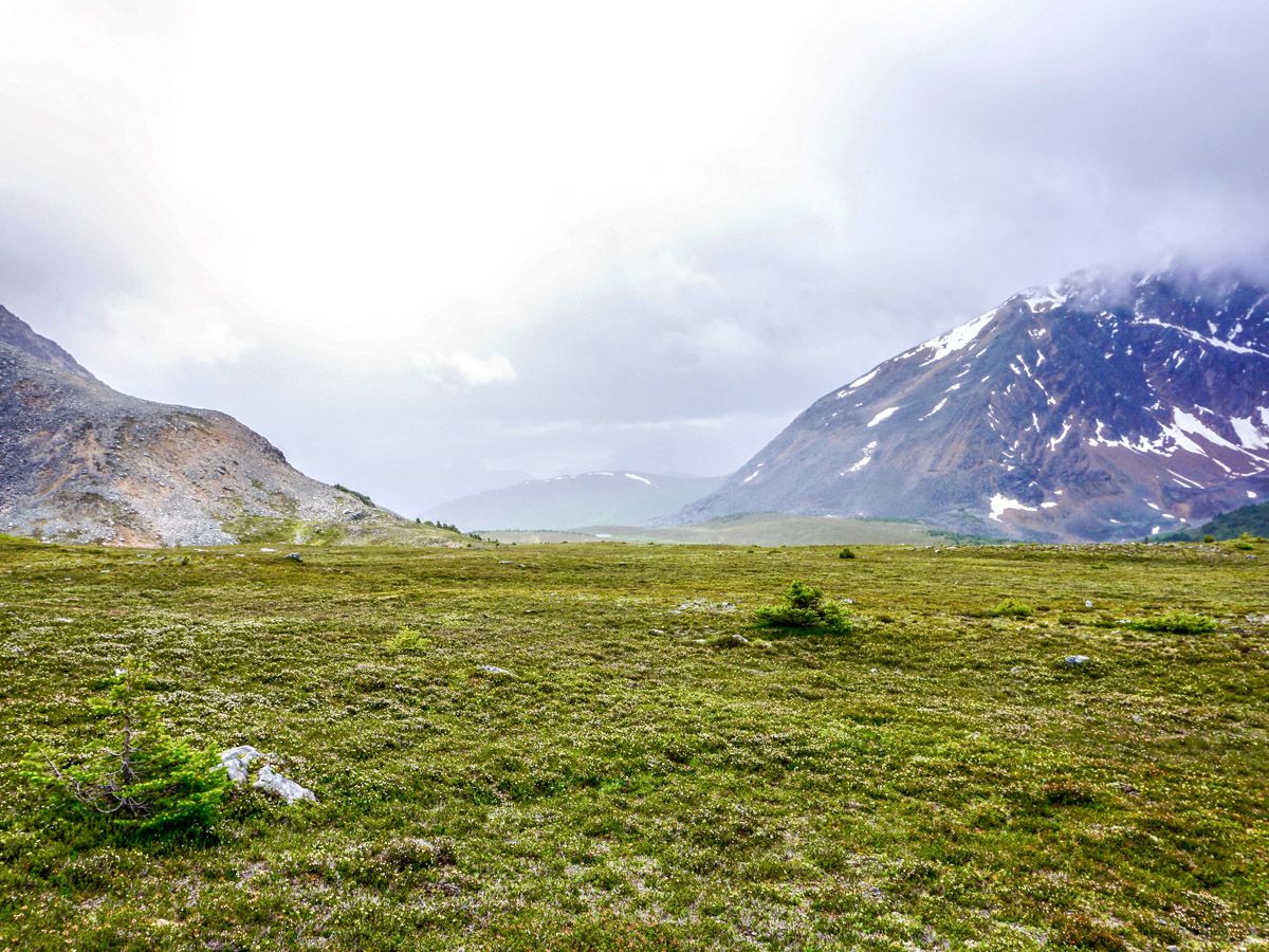
You will follow along the trail and emerge from the trees at a sparse alpine meadow beneath the backside of Mount Edith Cavell. This stunning meadow offers more stellar views of the valley and down to Teal Lake. The path trails off at the peak of the meadow, leaving you on the top of a large moraine. With some route finding (and route-making) you can make your way down to Verdant Pass, though most hikers stop here as the clear trail disappears.
Return the way you came up.
Insider Hints
The drive to this hike is incredible, and many people stop to take pictures. We recommend not stopping to take pictures as the road is very narrow.
The Edith Cavell Hostel is a great base to explore this area. You can hike this Verdant Pass hike one day and then head to Cavell Meadows hike another day.
There is a wonderful backpack up the Tonquin Valley from the nearby Verdant Pass trailhead. While you can camp, a stay at the Tonquin Backcountry Lodge, the ACC’s Wates-Gibson Hut or Tonquin Valley Adventure Lodge is a must-do if you love the backcountry.

Similar hikes to the Verdant Pass hike

Whistler’s Trail
Many people take the Jasper Skytram to get to the jumping off point for the Whistler’s hike. Skipping the Skytram…
Celestine Lake Hike
Getting to the Celestine Lake trailhead might be the most difficult part of this trail as it is accessed by…
Overlander Trail
The Overlander Trail starts at the popular Maligne Canyon area and is close in proximity to many other landmarks and…
idesouza 3 years ago
Amazing hike, the first part is on a well-groomed path and the rest was on a smaller (yet still clear) path through the woods. Very quiet hike, we saw ~7 people on the entire hike which was extremely nice. The views from the top were amazing. One of the best hikes I have done to date in Canada because of the views. (Sept. 2021)
kelsih_99 4 years ago
we got pretty dang lost- pay attention to your maps. if you can manage to stay on the trail it's so good. hardly anybody out, it's like the best kept secret of jasper
Richy_travels 4 years ago
This hike isn't well known, so I highly suggest going in group for safety purposes.
Tomcote 4 years ago
We've heard countless good things about this hike from our friends, and they're all true! It was a great experience!
Jacob AM 4 years ago
Pretty great but lots of bugs. It's just unbearable for me.
romeoM 4 years ago
It was a relaxing trip with beautiful mother nature!
LukeMc 4 years ago
We enjoyed our entire journey here. There are lots of wonderful views, and the wildlife was spectacular.
Theodore R. 5 years ago
The wildlife is exquisite and the views are fantastic, but there are lots of bugs. Don't forget to bring bug spray!
SebClyde 5 years ago
I enjoyed a cloudless day for it and the blue sky really shows the mountains, lakes and falls off to their best
Jeff Schroeder 5 years ago
Loved the hike and had no problem navigating to the top. Brought a GPS along so had an idea of approximate distances to important points. Spectacular scenery and no bears :-). Nice to see a couple of marmots at the top.