
Sierra Viewpoint Trail
View Photos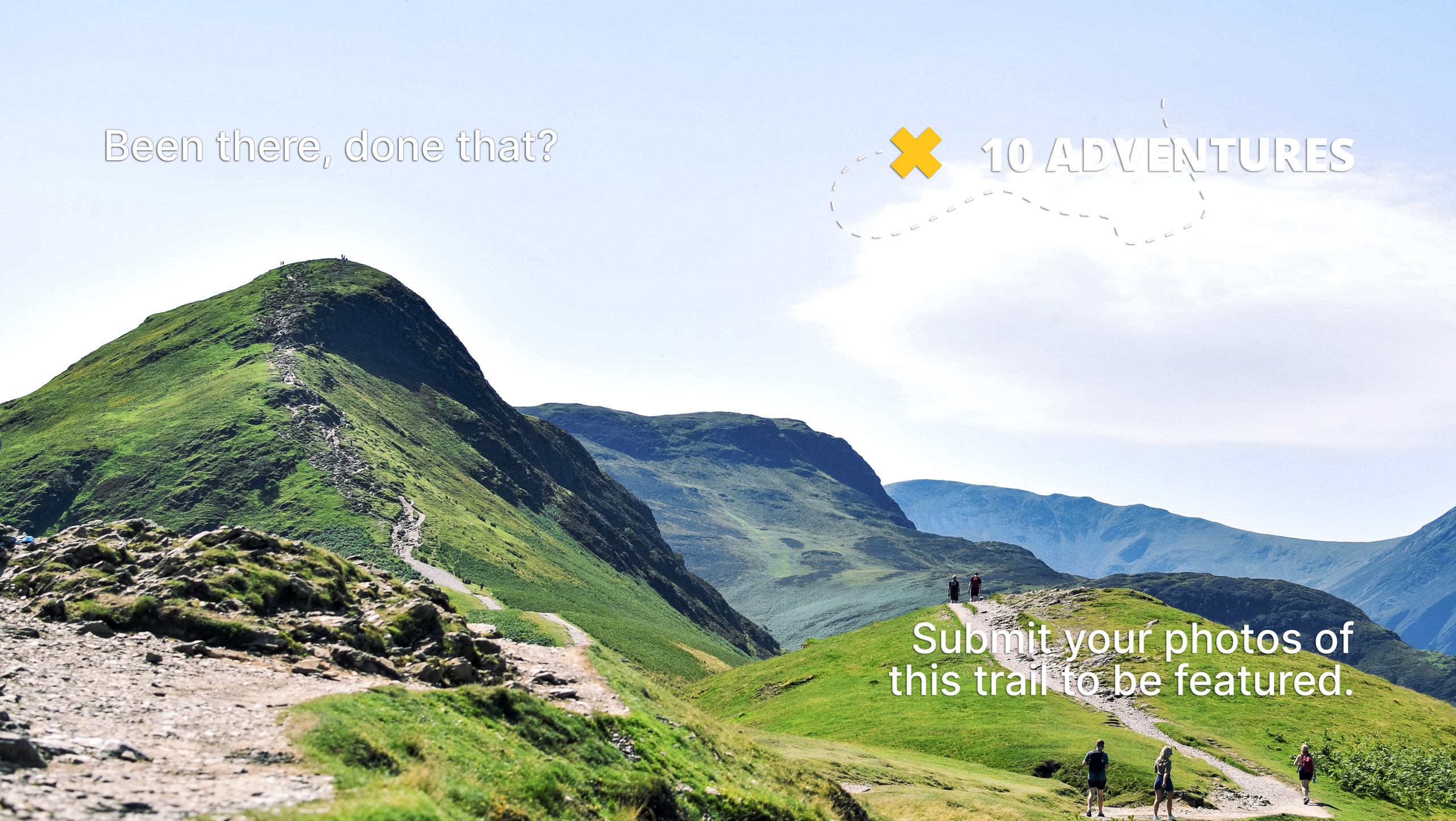
Sierra Viewpoint Trail
Difficulty Rating:
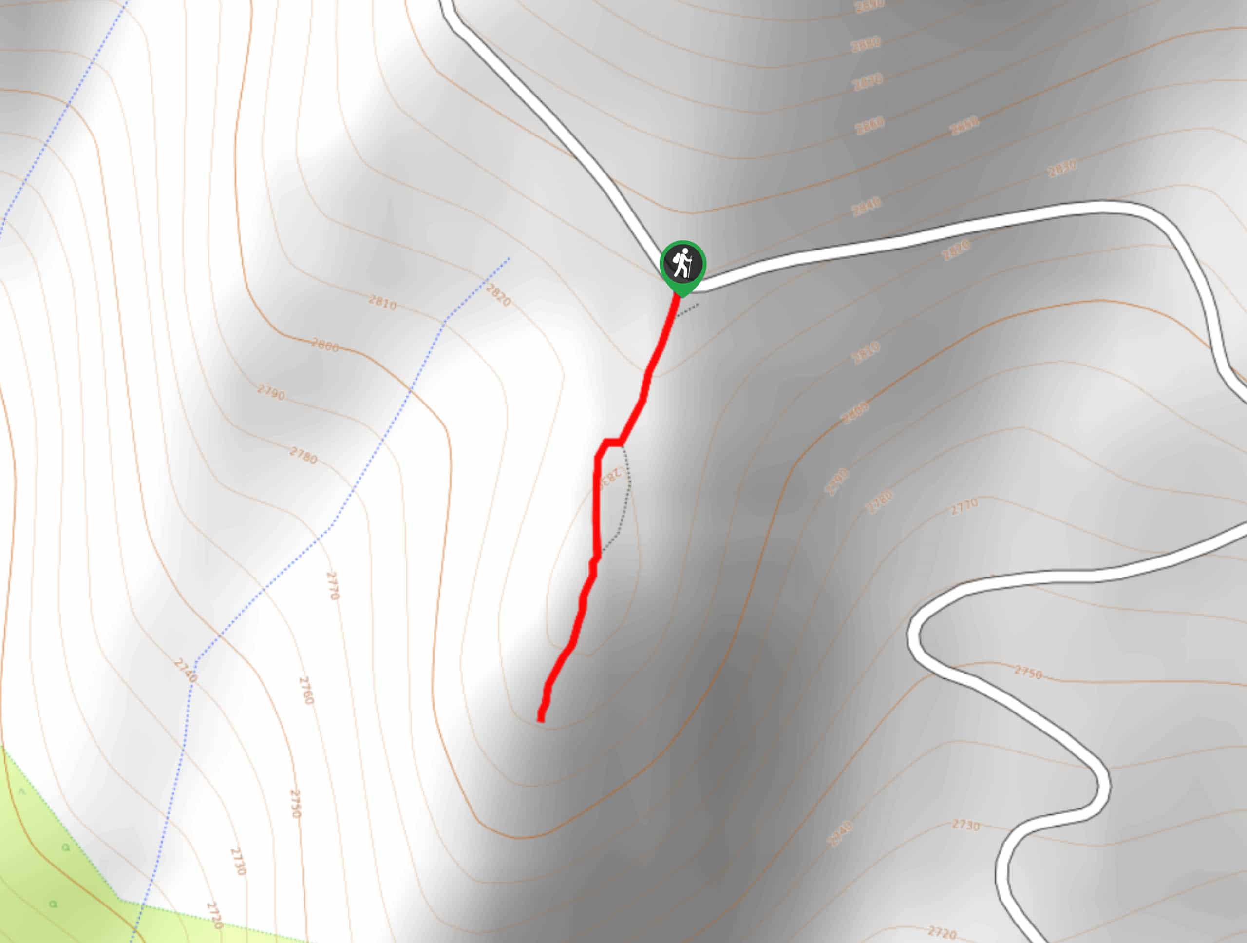
The Sierra Viewpoint Trail is a short route with hardly any notable elevation incline and is therefore appropriate for all skill levels and families with young children. The route ends at a scenic overlook, where incredible sightlines of the surrounding eastern Sierra Nevada Mountain range can be enjoyed.
Getting there
The trailhead for Sierra Viewpoint Trail is located off of White Mountain Road.

About
| Backcountry Campground | |
| When to do | May-November |
| Pets allowed | Yes - On Leash |
| Family friendly | Yes |
| Route Signage | Average |
| Crowd Levels | Low |
| Route Type | Out and back |
Sierra Viewpoint Trail
Elevation Graph
Weather
Sierra Viewpoint Trail Description
While the Sierra Viewpoint Trail is appropriate for all skill levels, it is not the most accessible route as it requires a reasonably long drive off of the main highway to reach. We suggest combining this route with others along White Mountain Road to make the most of the drive.
Being short, straight, and with little elevation incline, the Sierra Viewpoint Trail is incredibly easy-to-follow. Once you have reached the trailhead, follow the defined pathway as it makes its way south. You will soon arrive at the overlook, where you should take some time to admire the fantastic views and perhaps take a few pictures. Once you’re ready, backtrack your steps towards the trailhead and your waiting vehicle.
Similar hikes to the Sierra Viewpoint Trail hike

Mountain View and 3S89 Road Loop
Mountain View and 3S89 Road Loop is a delightful route within Inyo National Forest. Leading you through a lovely forested…
Dinosaur Falls Trail
Dinosaur Falls Trail is a beautiful route within Inyo National Forest. Easily accessible, the route is ideal for families with…
Bennettville Trail
The Bennettville Trail is an easily accessible, family-friendly route within Inyo National Forest. The route takes you alongside charming creeks…
Comments