Horton Lake Trail
View Photos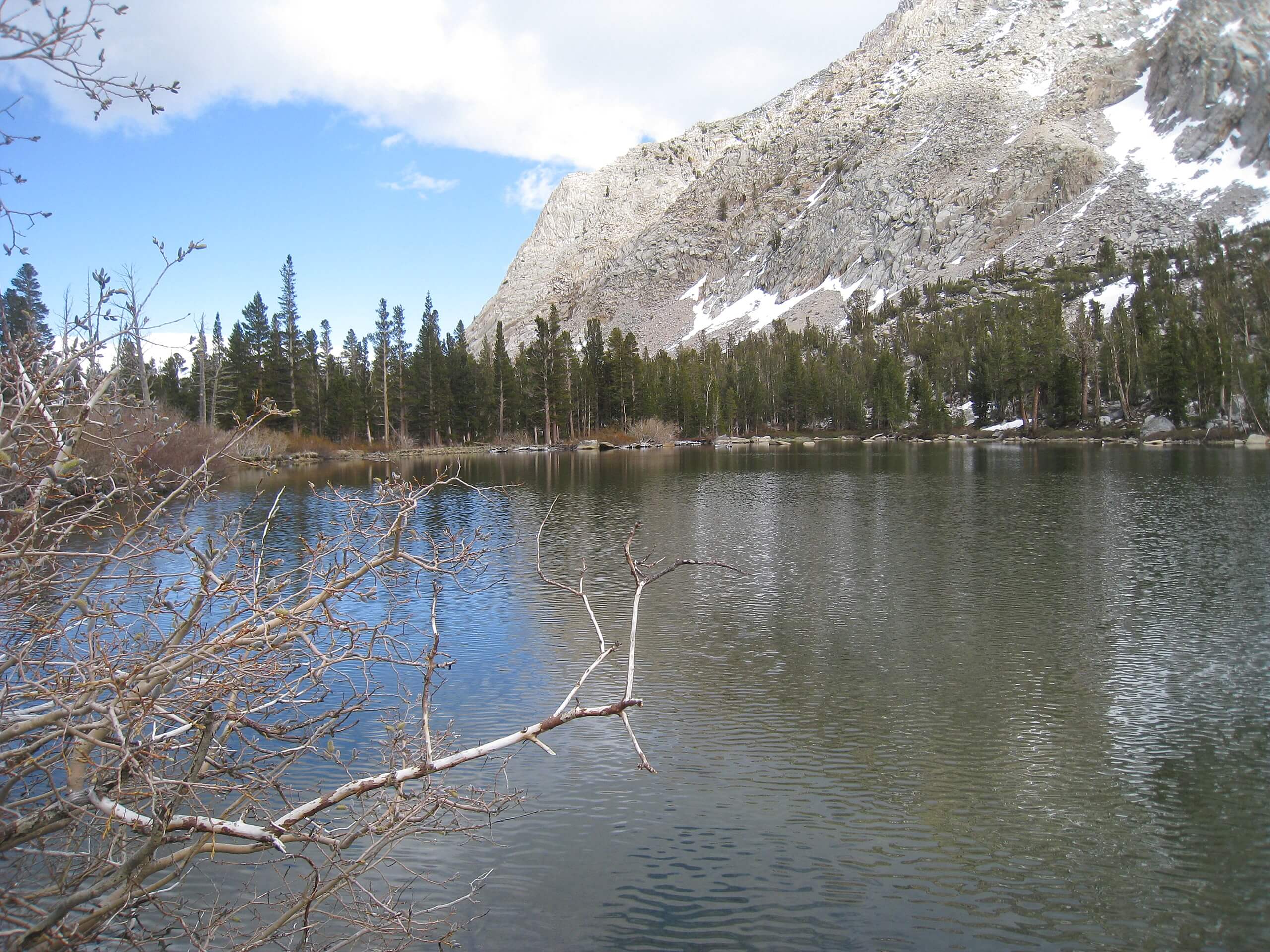
Horton Lake Trail
Difficulty Rating:
Horton Lake Trail is fairly long and possesses a relatively large elevation incline and is therefore considered to be a moderately difficult route. The scenery is nonetheless incredible along the route, as it takes you throughout the stunning alpine environment of the eastern Sierra Nevada Mountain range.
Getting there
The trailhead for the Horton Lake Trail is located off of Buttermilk Road, along an unpaved section of roadway.

About
| Backcountry Campground | No |
| When to do | May-October |
| Pets allowed | Yes - On Leash |
| Family friendly | Older Children only |
| Route Signage | Poor |
| Crowd Levels | Moderate |
| Route Type | Out and back |
Horton Lake Trail
Elevation Graph
Weather
Horton Lake Trail Description
Sections of the Horton Lake Trail are overgrown from infrequent usage, and so we recommend wearing long pants to protect yourself from being scratched or cut up. Likewise, good hiking boots are also recommended as the route traverses a fair amount of elevation incline over terrain that is often uneven. Your ankles and knees will thank you!
Having parked your vehicle, follow the Horton Lake Trail as it makes its way east over a series of switchbacks. With the switchbacks completed, the route will veer north, and the elevation incline will plateau for a few hundred feet. The Horton Lake Trail will then begin to head east once again, picking up elevation steadily as it does.
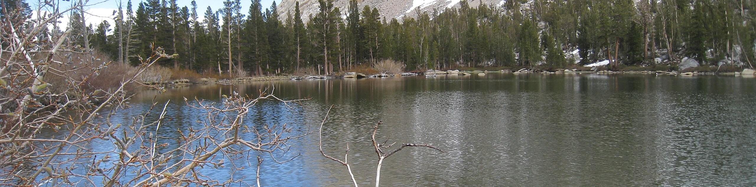
After crossing several creeks, the route will again traverse a series of switchbacks before veering south and arriving at Horton Lake. The lake itself is incredibly beautiful, so you should take your time to enjoy the scenery and perhaps stop for a picnic. Then, when you’re ready, simply backtrack your steps towards the trailhead and your waiting vehicle.
Similar hikes to the Horton Lake Trail hike

Valentine Lake Trail
An underrated route within Inyo National Forest, Valentine Lake Trail is without a doubt worth the effort! Boasting sublime scenery…

Lakes Basin Path to Pack Trail
A more challenging route within Inyo National Forest, Lakes Basin Path to Pack Trail is ideal for more experienced hikers…

Mountain View and 3S89 Road Loop
Mountain View and 3S89 Road Loop is a delightful route within Inyo National Forest. Leading you through a lovely forested…
Comments