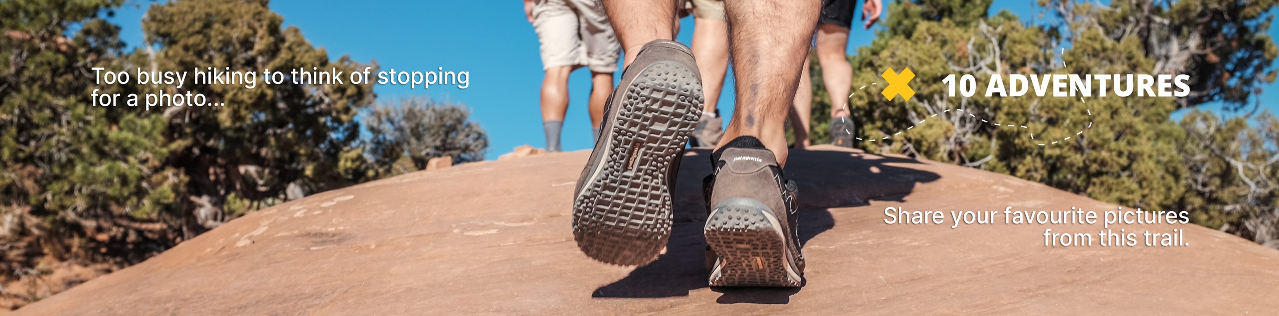
Mount Toll Hike
View Photos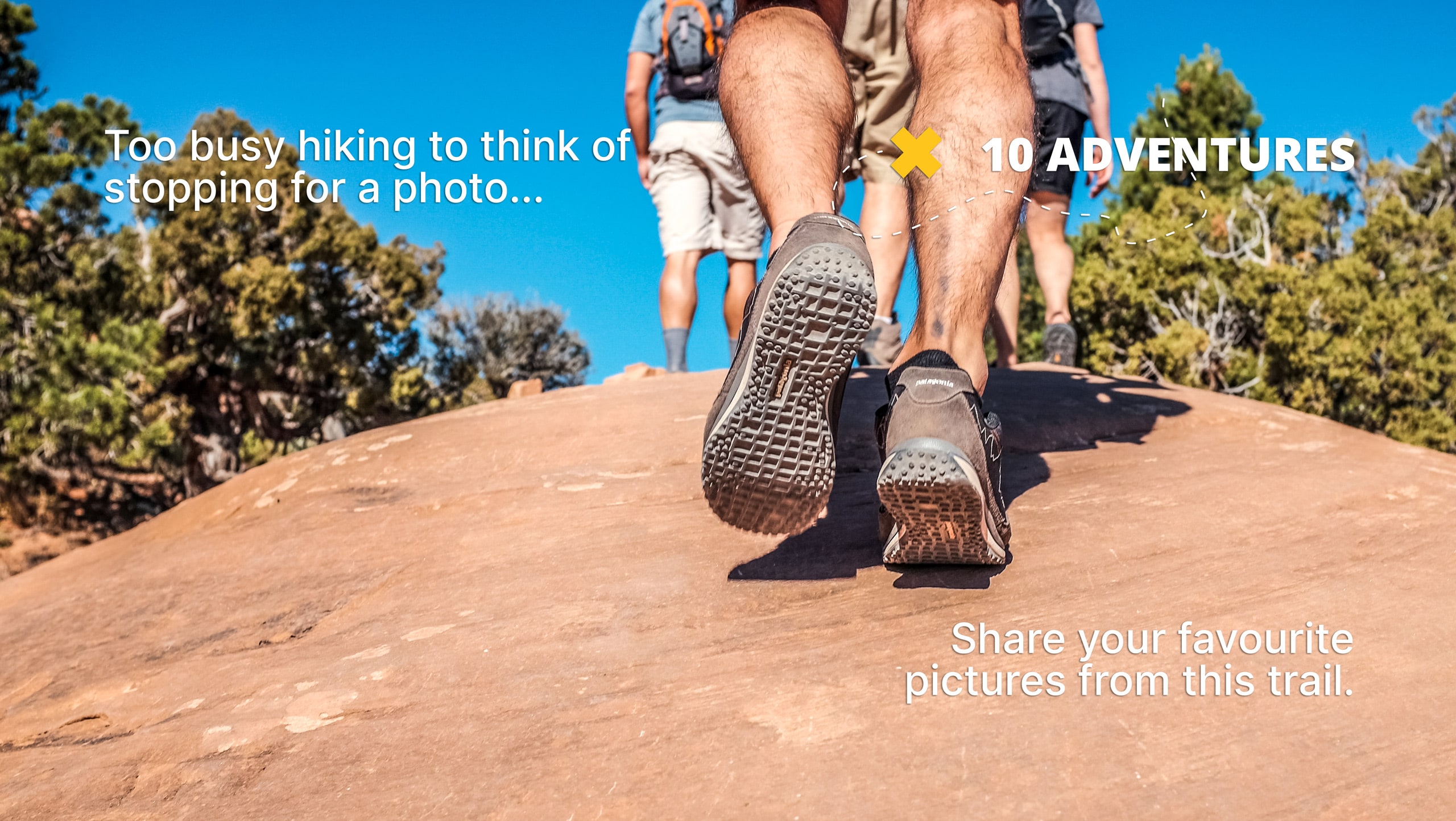
Mount Toll Hike
Difficulty Rating:
The Mount Toll Hike is a popular adventure in the Indian Peaks Wilderness, and rightfully so. This hike has the perfect balance of demanding and enjoyable terrain. Begin this trek in the alpine woods, passing shimmering blue lakes before veering off the beaten path and exploring the ridge to the summit! This Mount Toll Hike is a must-add to your Colorado hiking itinerary.
Getting there
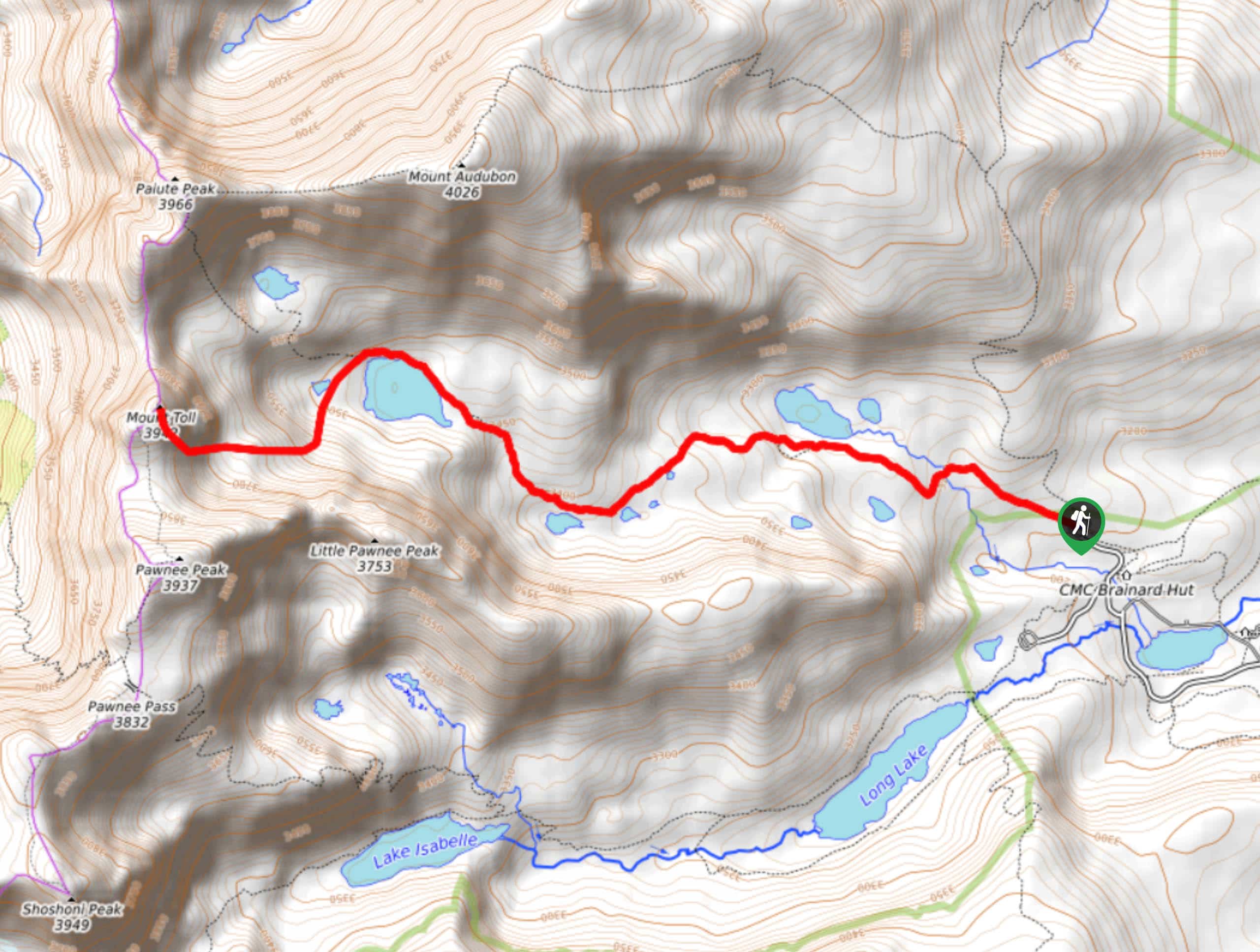
The Mount Toll Hike Trailhead is located in the Brainard Lake Recreational Area. Begin your hike from the Mitchell Lake Trailhead and Parking Lot.

About
| Backcountry Campground | Yes, permits required. |
| When to do | May-October |
| Pets allowed | Yes - On Leash |
| Family friendly | No |
| Route Signage | Average |
| Crowd Levels | High |
| Route Type | Out and back |
Mount Toll Hike
Elevation Graph
Weather
Mount Toll Hike Description
Summiting Mount Toll is an impressive feat. Meander through the woodland trails before an exhilarating scramble up the side of a craggy Indian Peak! What could be better?
The trailhead for the Mount Toll Hike is located in the Brainard Lake Recreational Area—day passes are required. You can purchase a pass online or in person. Note that the Recreational Area also closes seasonally from mid-October to late-June. This trail is popular, and parking is limited, so we recommend arriving early to secure a spot! Plus, you’ll beat the crowd! This trail passes not one, but three lakes on your way to the summit. Make sure to have your camera out! In the foreground of the craggy Indian Peaks, these lakes present the perfect photo-op. Once you pass the lakes and begin your ascent to the ridgeline the trail is unmarked and steep as you scramble a boulder and talus field. Proper footwear and a trail GPS are essential when summiting the peak.
Begin your hike at the Mitchell Lake Trailhead. Head northwest on the Mitchell Lake Trail, crossing a log bridge before arriving at Mitchell Lake. Continue through the aspen woods before ascending the timberline. Follow the Mitchell Lake Trail as you gradually climb towards Blue Lake. Enjoy the marvelous blue alpine lake before continuing your trek. Curve along the North side of the Lake, passing Little Blue Lake before veering south off the trail. At this point, there are no signposts, only rock cairns as you scramble northwest up the talus field up to the ridgeline. Be careful as you navigate loose boulders to the summit of Mount Toll. After you conquer the summit, you will be rewarded with panoramic vistas of surrounding snow-dusted craggy peaks and views of the alpine landscape below.
Enjoy the sights before retracing your steps down the mountain. Once you return to Little Blue Lake and Blue Lake, follow the Mitchell Lake Trail back to the parking lot.
Similar hikes to the Mount Toll Hike hike

Caribou Pass Hike
The Caribou Pass Trail scales the west side of the Continental Divide. This short but steep hike will get your…

Beaver Creek Trail
Beaver Creek Trail is a great wooded hike through the Colorado wilderness. With picturesque babbling brooks and past vast wildflower…
Beaver Reservoir to Monarch Lake Hike
Beaver Reservoir to Monarch Lake Hike is a one-way trail in the Indian Peaks Wilderness. We love this hike because…
Comments