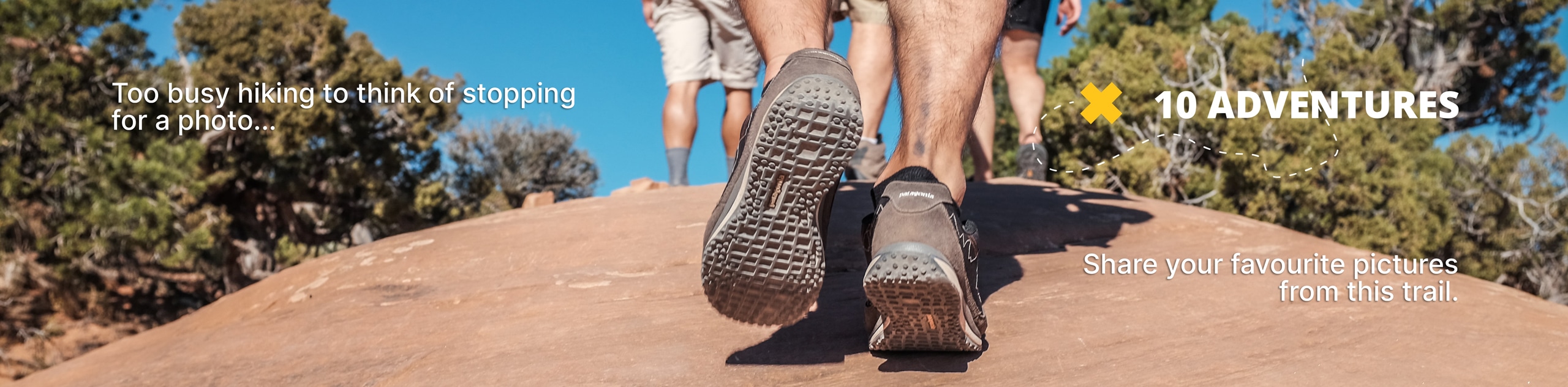
Caribou Lake via Arapaho Pass Hike
View Photos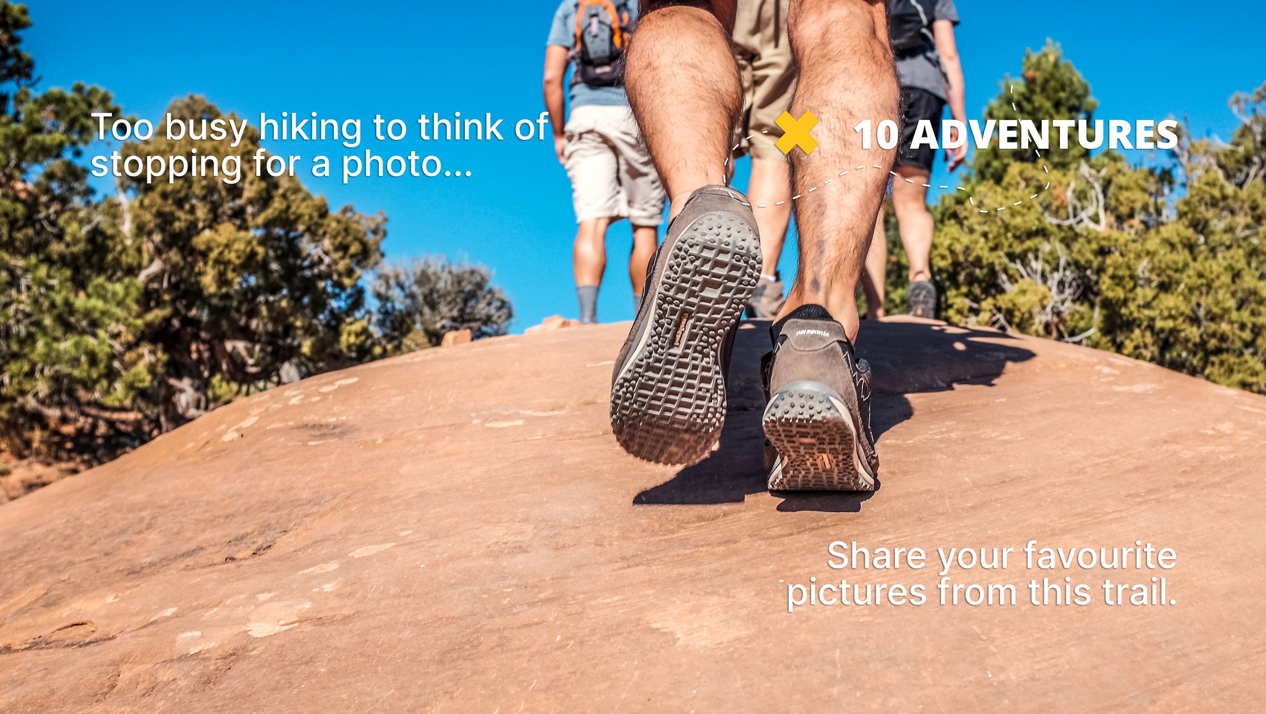
Caribou Lake via Arapaho Pass Hike
Difficulty Rating:
Looking for an awesome hike through the Indian Peaks Wilderness? The Caribou Lake via Arapaho Pass Hike delivers breathtaking vistas from the Continental Divide before placing hikers in front of a crystalline alpine lake. Caribou Lake via Arapaho Pass Trail is an epic day hike, but an even better backpacking route! Camp along Caribou Lake’s shore and rest up before venturing back out into the Indian Peaks Wilderness.
Getting there
Find the Caribou Lake via Arapaho Pass Trail at the end of the Fourth of July Road. The parking lot at the end of the road has limited parking, so arrive early to secure a spot.

About
| Backcountry Campground | Yes, permits required. |
| When to do | June-September |
| Pets allowed | Yes - On Leash |
| Family friendly | No |
| Route Signage | Average |
| Crowd Levels | Moderate |
| Route Type | Out and back |
Caribou Lake via Arapaho Pass Hike
Elevation Graph
Weather
Caribou Lake via Arapaho Trail Description
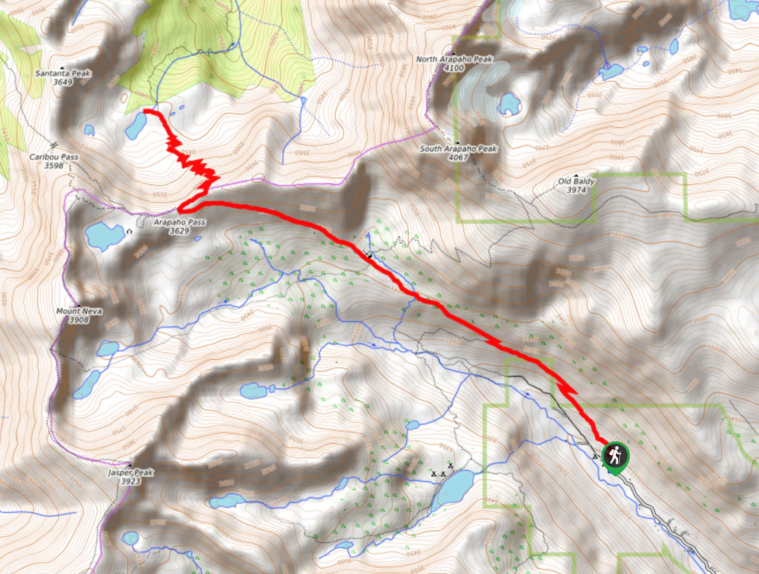
The Caribou Lake via Arapaho Pass Trail has it all! Sure to get your heart pumping, this trail will leave you dumbfounded. Though it is an easily manageable day hike, consider bringing your pack and camping at the designated camping spots along the lake’s shore. Nestled among Colorado’s craggy peaks, Caribou Lake delivers amazing sights of the Continental Divide and alpine landscape. Make sure you are well prepared for this hike as it is very steep and demanding in some areas. Wear appropriate footwear and bring water!
The Caribou Lake via Arapaho Pass Hike departs from the Fourth of July car park. Set out on the Arapaho Pass Trail through the woodlands. Continue along this path as it guides you past a cascading waterfall and up to a switchback. The trail will continuously gain elevation and the terrain will get rocky as you venture on. Stay right at the first junction, following the same trail. The forested path will steepen as you approach the Fourth of July Mine. The hike will be exposed at this point. At the next intersection, continue straight, heading northwest. This segment of the hike is windy and unshaded as you navigate the trail over the continental divide, so mind your footing. At the last junction, turn right, heading northeast. Here you will crest a rocky ridge before descending into Caribou Lake.
Stay the night at the designated campsites along Caribou Lake or retrace your steps back to the parking lot. Either way, be sure to enjoy the stunning vista and dip your tired feet in the lake before heading back to the trailhead.
Similar hikes to the Caribou Lake via Arapaho Pass Hike hike

Caribou Pass Hike
The Caribou Pass Trail scales the west side of the Continental Divide. This short but steep hike will get your…

Beaver Creek Trail
Beaver Creek Trail is a great wooded hike through the Colorado wilderness. With picturesque babbling brooks and past vast wildflower…
Beaver Reservoir to Monarch Lake Hike
Beaver Reservoir to Monarch Lake Hike is a one-way trail in the Indian Peaks Wilderness. We love this hike because…
Comments