Buchanan Pass and Camp Dick Hike
View Photos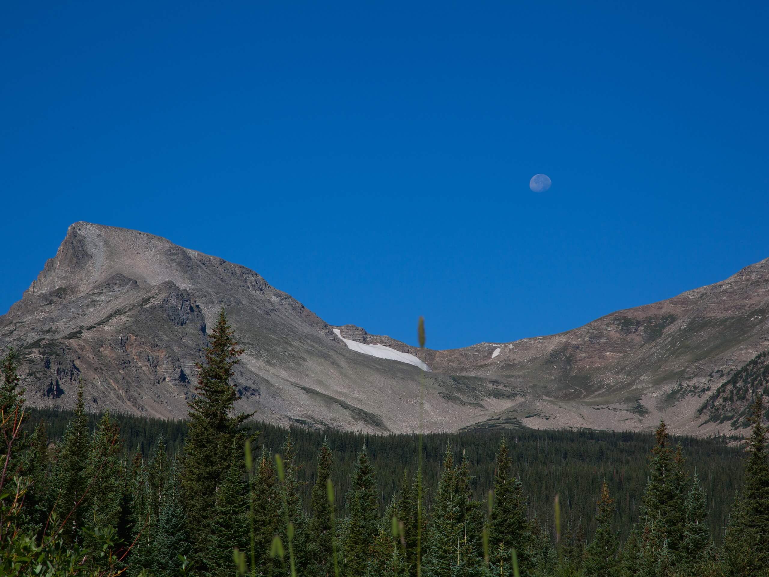
Buchanan Pass and Camp Dick Hike
Difficulty Rating:
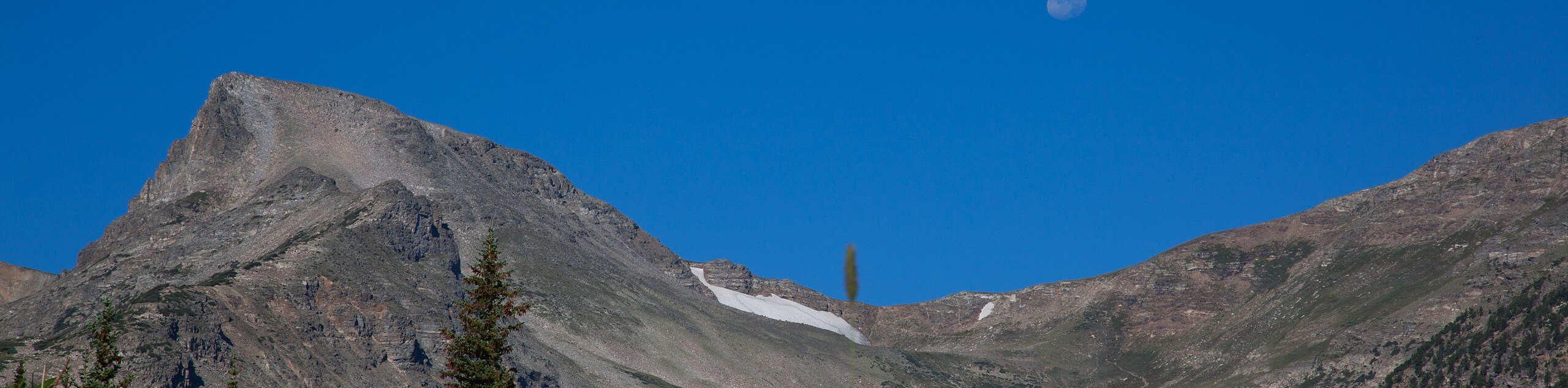
The Buchanan Pass and Camp Dick Hike is a stimulating trail interspersed with dense forests and expansive meadows. Following the curves of the St. Vrain creek, hikers are treated to the calming ambiance of babbling waters as they ascend towards Buchanan Pass. With limited elevation gain, this trail is great for novice hikers and families! This hike is a tad lengthy so make sure to pack snacks and water to refuel! Four-legged friends are also more than welcome, as long as they stay on-leash!
Getting there
The trailhead for Buchanan Pass and Camp Dick Hike is at the end of Country Road 92, past the Camp Dick Campground.

About
| Backcountry Campground | |
| When to do | March-October |
| Pets allowed | Yes - On Leash |
| Family friendly | Yes |
| Route Signage | Average |
| Crowd Levels | Moderate |
| Route Type | Out and back |
Buchanan Pass and Camp Dick Hike
Elevation Graph
Weather
Buchanan Pass and Camp Dick Hike Description
The Buchanan Pass and Camp Dick Hike excursion can inspire anyone, I mean, how could it not? Following along babbling brooks, past cascading waterfalls,wildflower-filled meadows, and through lush woodlands; how could anyone say no to this hike? Arrive at the carpark early, this trail is well liked, and parking is limited! Make sure to bring some bug spray, it can be buggy in the woods! Note that this trail runs parallel to an ATV route, so you may hear a vehicle on occasion.
This trail follows Country Road 92-J for less than a kilometer before a junction. Here, you will veer right onto the well-marked Buchanan Pass Trail. Shortly after the intersection you will cross the St.Vrain Creek, don’t worry, there is a little bridge! Continue along the path, keeping an eye out for moose! As you follow the trail you will steadily gain elevation as you approach Buchanan Pass. You will know you’ve reached your destination when you intersect with the St. Vrain Creek again.
Adventurers who wish to extend their journey can continue on the Buchanan Pass Trail. This out and back extension is lengthy and steep with rocky terrain- exercise caution. If you do not wish to extend your excursion, retrace your steps back to the parking lot.
Similar hikes to the Buchanan Pass and Camp Dick Hike hike

Caribou Pass Hike
The Caribou Pass Trail scales the west side of the Continental Divide. This short but steep hike will get your…

Buchanan Pass Loop
The Buchanan Pass Loop is an awesome adventure trail. Adults and kids alike will enjoy this wildflower-speckled trail as it…

Beaver Creek Trail
Beaver Creek Trail is a great wooded hike through the Colorado wilderness. With picturesque babbling brooks and past vast wildflower…
Comments