
Glade Creek Trail
View Photos
Glade Creek Trail
Difficulty Rating:
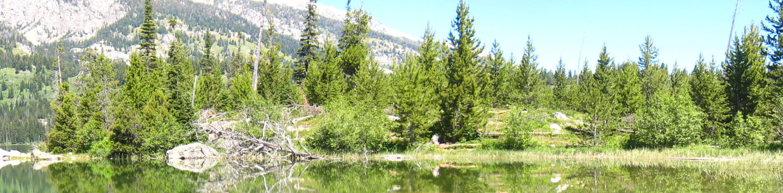
Explore a swathe of wilderness previously burned by a wildfire. The Glade Creek Trail, while it does travel through a corridor of burned trees, has been renewed with lush blankets of grasslands, wildflowers, and low-lying brush often abundant with fauna. Enjoy tranquility as you hike this beautiful footpath on the boundary of the Grand Teton.
Getting there
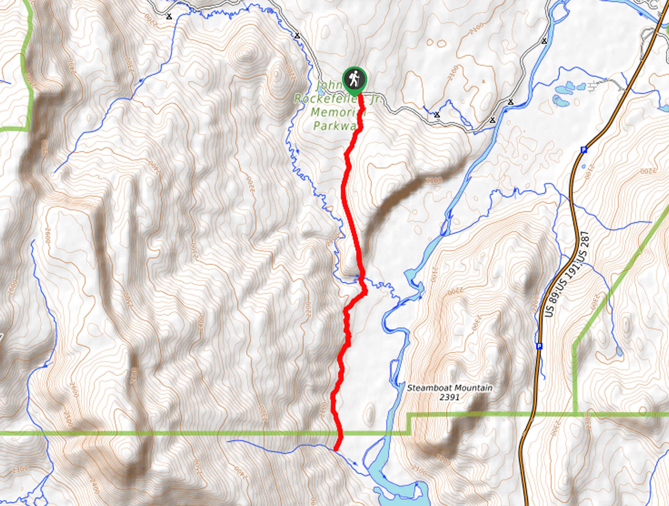
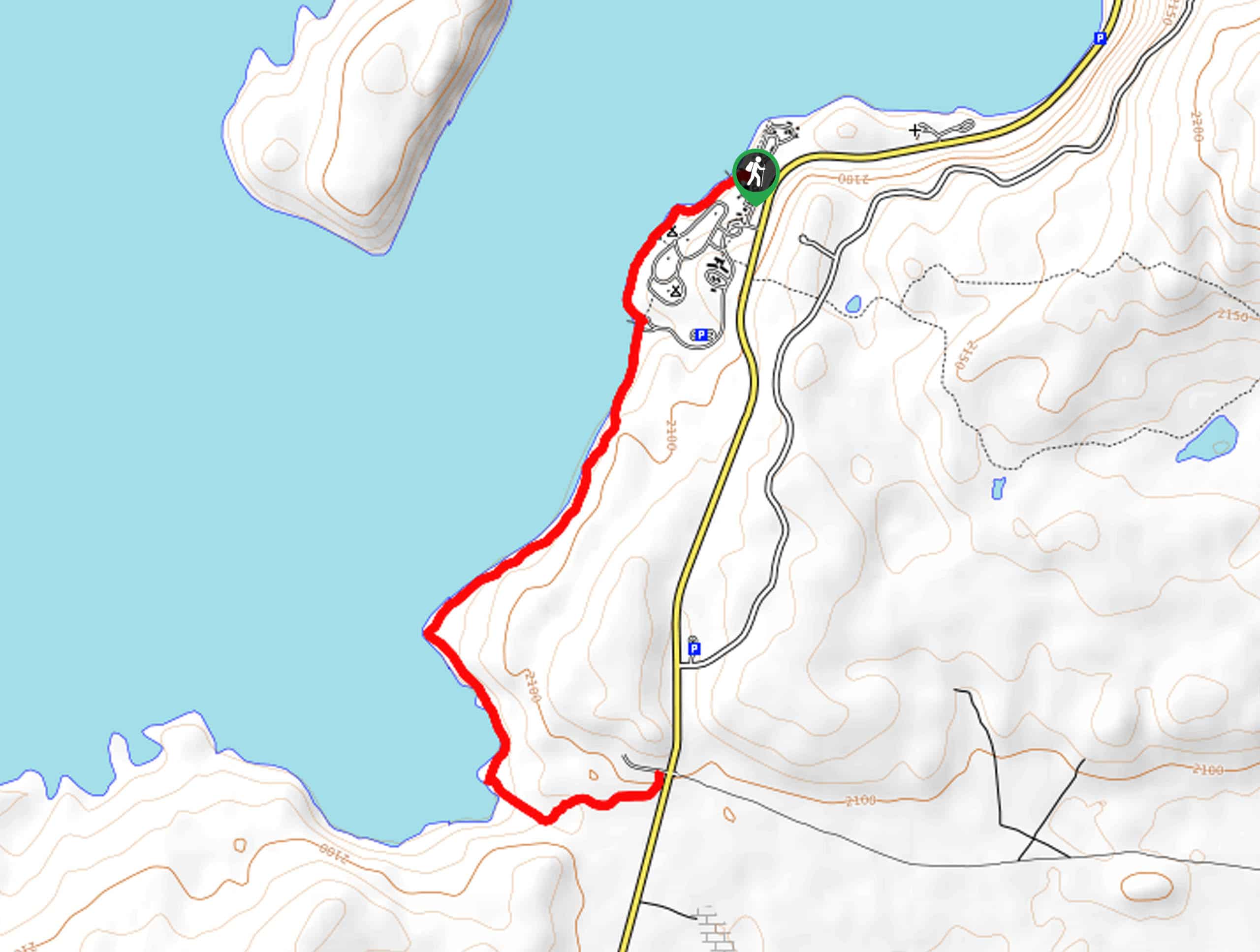
The Glade Creek Trailhead is located directly off the Grassy Lake Road.

About
| Backcountry Campground | No |
| When to do | March-October |
| Pets allowed | No |
| Family friendly | Yes |
| Route Signage | Average |
| Crowd Levels | Moderate |
| Route Type | Out and back |
Glade Creek Trail
Elevation Graph
Weather
Glade Creek Trail Description
The Glade Creek Trail boasts a relaxing experience as it is relatively unknown and sits on the northern border of the Grand Teton National Park. Immerse yourself in the wilderness and hike amongst a variety of flora and fauna. Note, like all trails in the area; it is important to be bear aware—make sure at least one person in your group has a can of bear spray and knows how to use it. Note the Grand Teton National Park charges an entrance fee; refer to the NPS website for additional information.
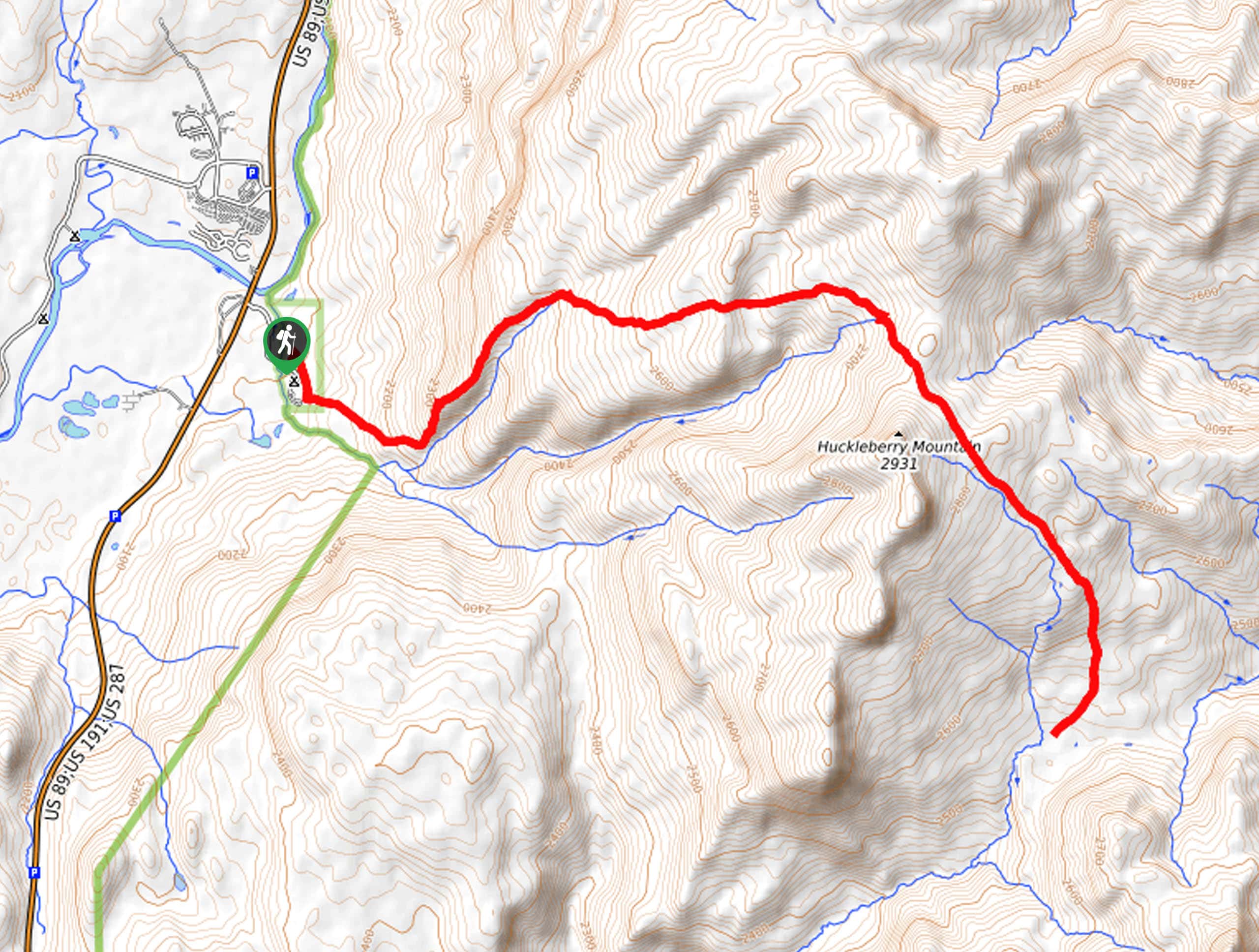
Departing from the Glade Creek Trailhead, the Glade Creek Trail travels southward, gradually climbing up a ridge before plunging into the meadow-cloaked valley. As you meander, be sure to admire the surrounding mountainous scenery and keep an eye out for grazing deer, elk, and more. After some hiking, you will cross a footbridge over Glade Creek that will eventually flow into the Snake River. Though you can turn around here, we chose to continue our adventure further.
We followed this scenic trail all the way to another unmarked creek that is supposedly fed by snowmelt. From here, you will be granted views of the Snake River bounding green hills. To get back to the trailhead, simply head back the way you came.
Similar hikes to the Glade Creek Trail hike
Sheffield Creek Trail
Located on the border of the Yellowstone and the Grand Tetons National Parks, the Sheffield Creek Trail has remained relatively…
South Landing Trail
Hiking the South Landing Trail is a pleasant experience. This lovely footpath traces the southeastern shore of Jackson Lake, boasting…
Delta Lake via Taggart Lake Hike
Rise and shine, it's time to climb! The Delta Lake via Taggart Lake Hike is a marvelous adventure into the…
Comments