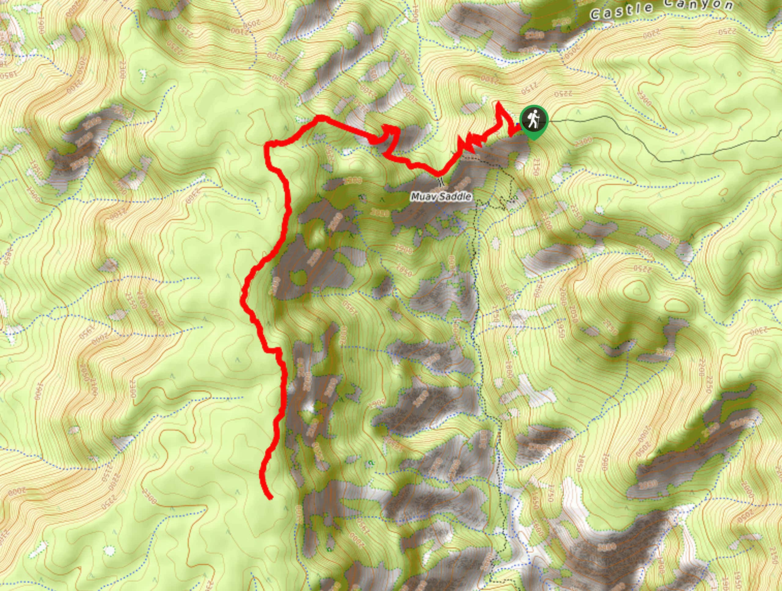
South Kaibab Trail to Tip Off
View Photos
South Kaibab Trail to Tip Off
Difficulty Rating:
The hike on South Kaibab Trail to the Tip Off is one of the best ways to enjoy the mighty Grand Canyon from the South Rim. South Kaibab Trail is the second-most visited trail in the canyon after Bright Angel Trail and there are a variety of viewpoints along the way. The Tip Off is an incredible viewpoint that can be reached in a day round trip by fit hikers. Expect moderate traffic on this route.
Getting there
The trailhead for the South Kaibab Trail to Tip Off hike is on Yaki Point Road.

About
| Backcountry Campground | No |
| When to do | September-May |
| Pets allowed | No |
| Family friendly | No |
| Route Signage | Average |
| Crowd Levels | Moderate |
| Route Type | Out and back |
South Kaibab Trail to Tip Off
Elevation Graph
Weather
South Kaibab Trail to Tip Off Description
The South Kaibab Trail is the second-most visited trail in the entire Grand Canyon. With several viewpoints accessible without any extreme hiking, it’s a great trail to wander down to take in the grandeur of the Grand Canyon. This route is possible to complete in a day for fit hikers, but you can also opt to turn this into a backpacking trip by continuing further to Phantom Ranch on South Kaibab Trail.
There may be mules on this trail packing out trash from Phantom Ranch. Should you come up to mules, listen to the handler’s directions on how to pass them. If you come up from behind, just announce yourself and listen for instructions on how to pass once it’s safe to do so.
From the trailhead, you’ll hike out along the ridge. About a 0.5mi into the outbound trip, you’ll pass Yaki Point on your right, a popular viewpoint. At the point, look out over the amazing view to the east. Ahead of you is Cedar Ridge, a popular turnaround point for casual hikers. Ahead of Cedar Ridge is O’Neill Butte, from which there’s plenty of canyon to appreciate in almost all directions. Hiking around the east side of the butte, you’ll continue to Skeleton Point. This is where things get interesting.
Descend through very steep switchbacks, arriving at the Tip Off just past the restrooms. Take a moment to take in the view here and rest up before the steep hike back to the trailhead.
Similar hikes to the South Kaibab Trail to Tip Off hike
Deer Creek to Colorado River Hike
The Deer Creek to Colorado River hike is a very challenging 18.0mi hike that leads you from the…
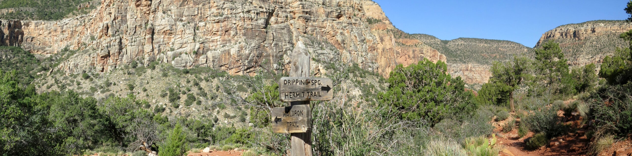
Waldron Trail
Waldron Trail is a hiking trail on the South Rim of the Grand Canyon that’s a bit of a hidden…
Powell Plateau Trail
Powell Plateau Trail is a hiking trail in the northwestern arm of the Grand Canyon. This spot in the canyon…
Comments