


Bright Angel Trail
View PhotosBright Angel Trail
Difficulty Rating:
Completing the Bright Angel Trail in one-day is only for the fittest of all hikers. We debated including this hike, as it is so dangerously tough. Better yet consider getting a backcountry camping permit and staying at the Bright Angel Campground! Even though it's a challenging hike, we think the Bright Angel Trail is one of the best hikes in the USA.
Getting there
Park anywhere in the Grand Canyon Village and walk towards the Bright Angel Hotel. Just west of the hotel is the Bright Angel Trailhead, where there are pit toilets and a water refilling station.
About
| When to do | Spring and Fall, avoid summer heat |
| Backcountry Campsites | Yes, permits required |
| Toilets | At Trailhead, four along trail |
| Family friendly | No |
| Route Signage | Average |
| Crowd Levels | High |
| Route Type | Out and back |
Bright Angel Trail
Elevation Graph
Weather
Bright Angel Trail Description
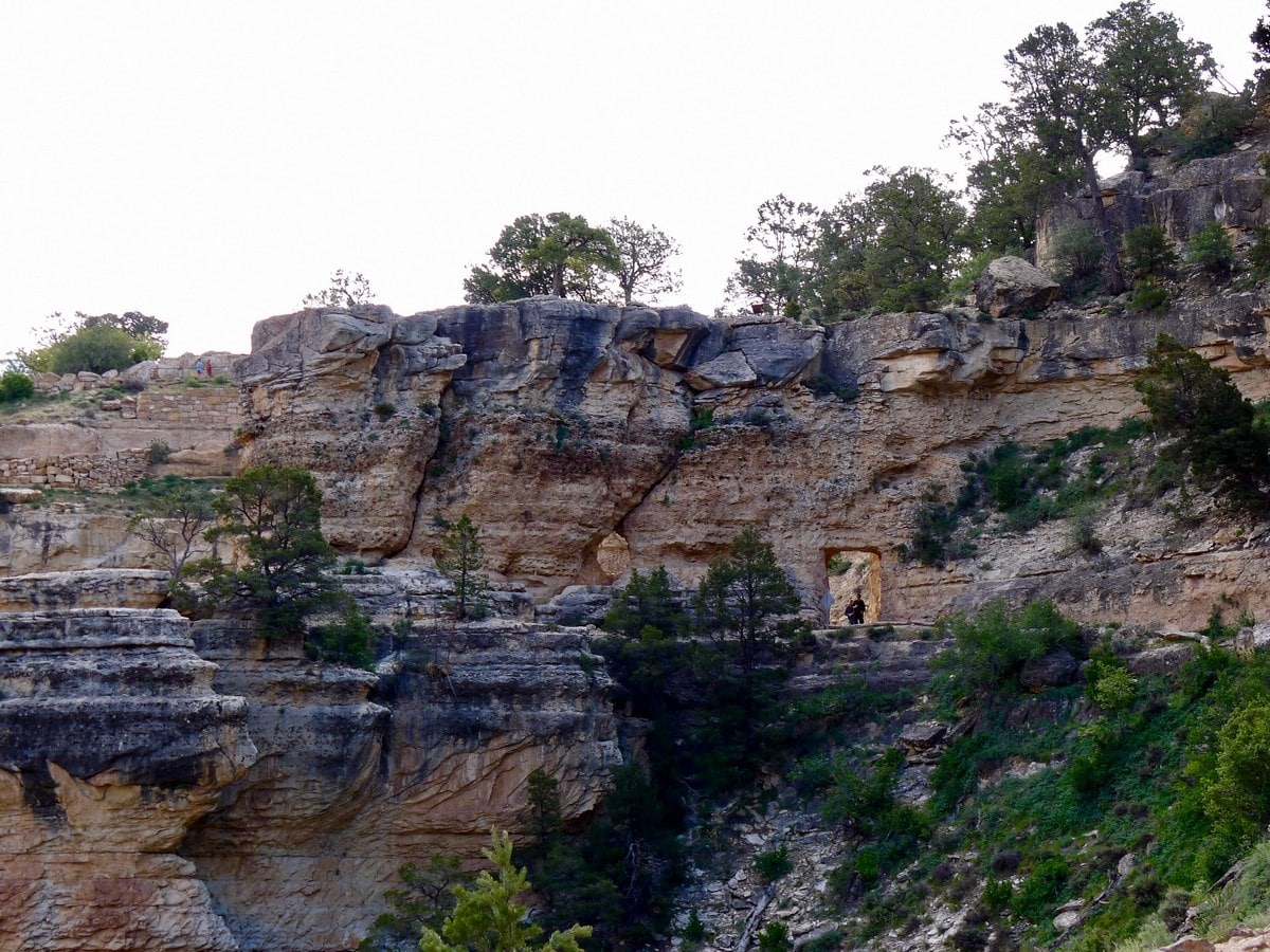
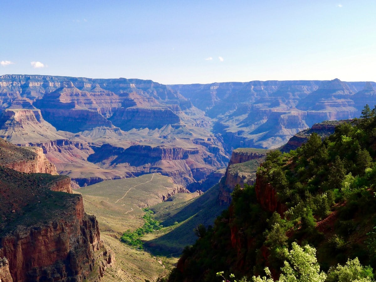
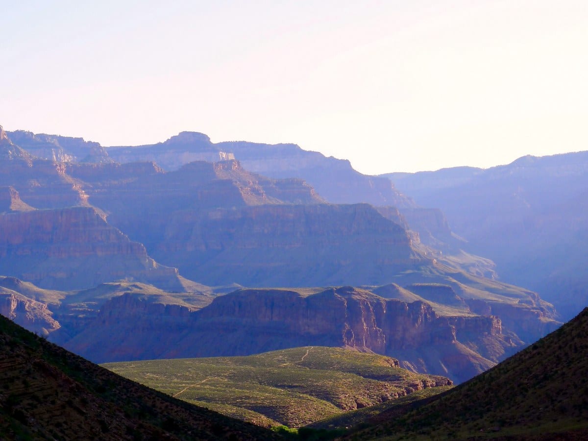
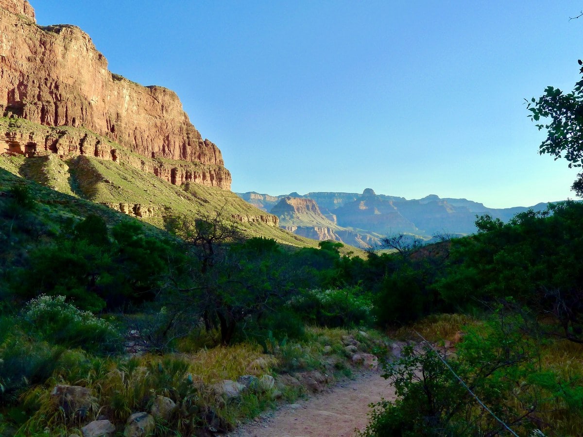
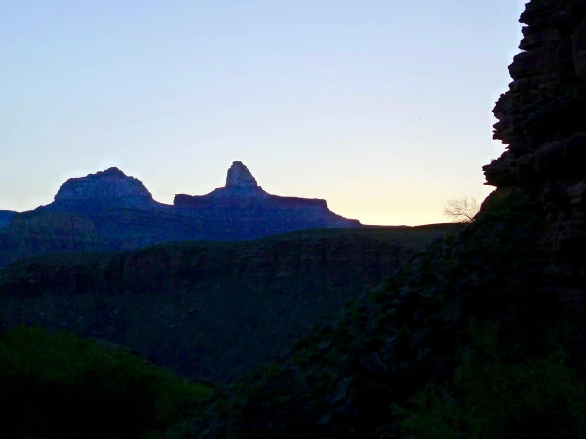
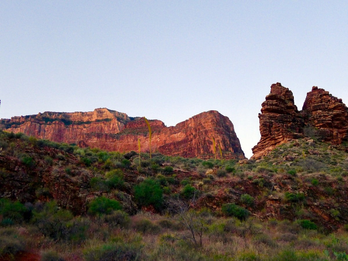
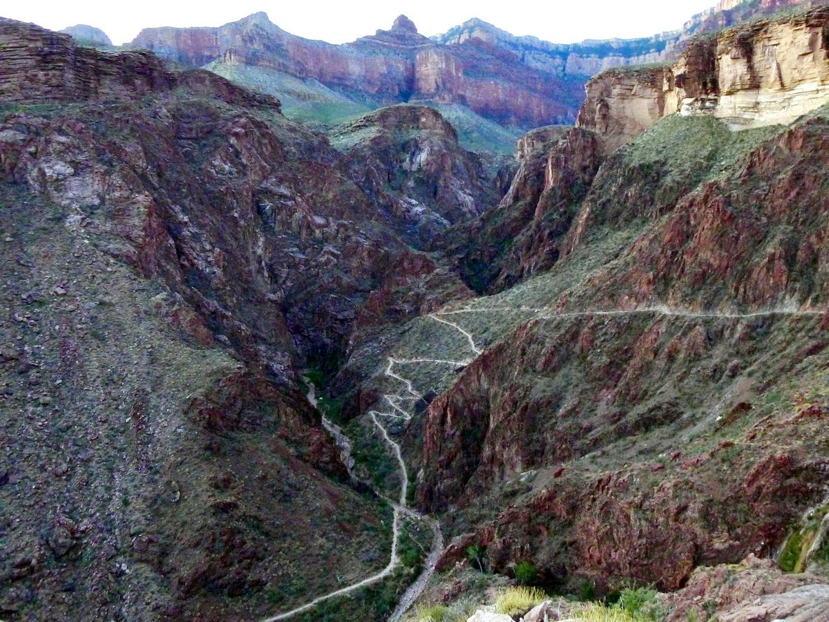
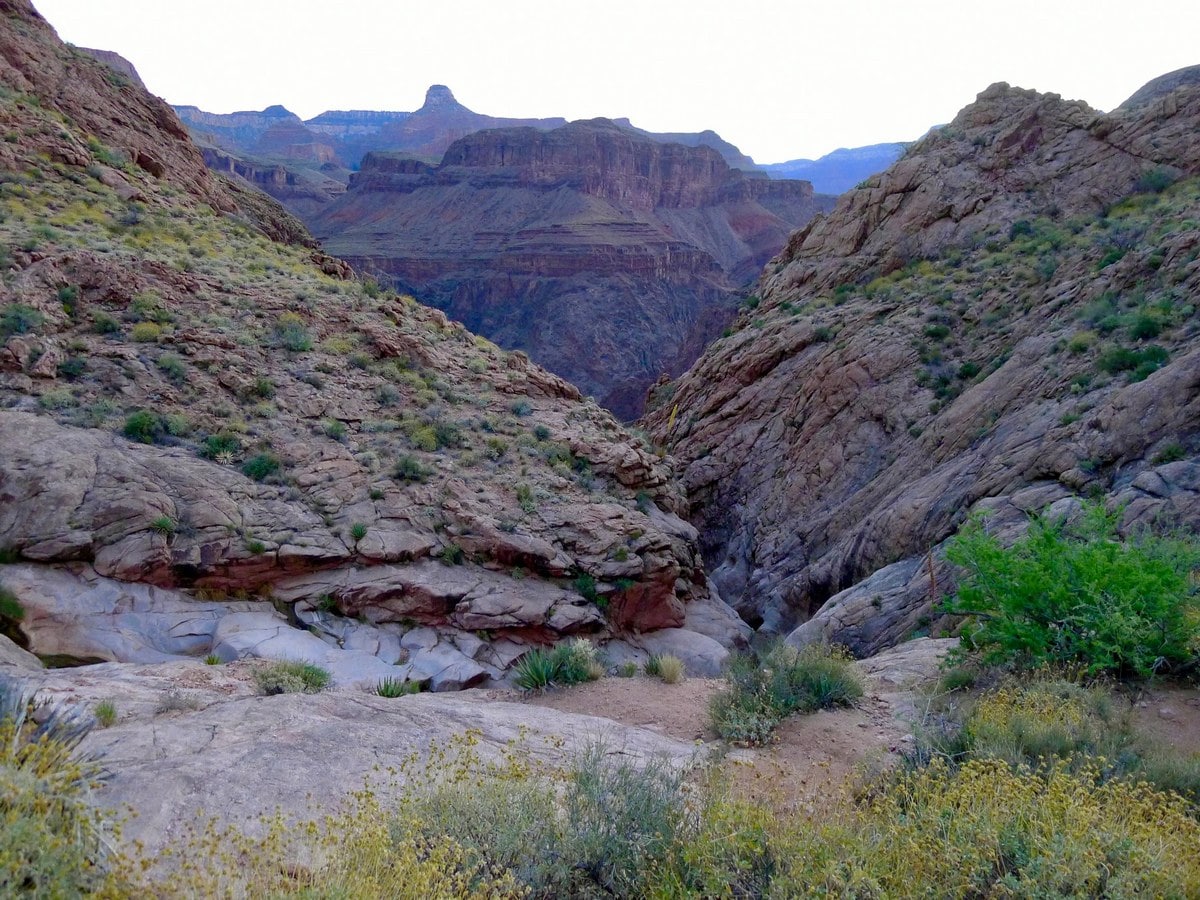
From the Bright Angel Trailhead, follow the crowds down the wide, well graded path. You will soon pass through a tunnel in the rock, a very popular place for photos. Don’t worry; as you continue to hike the crowds will certainly thin, granting you more breathing room. As the switchbacks continue, you will soon have fantastic views down into the canyon, giving you a perfect view of where you are heading!
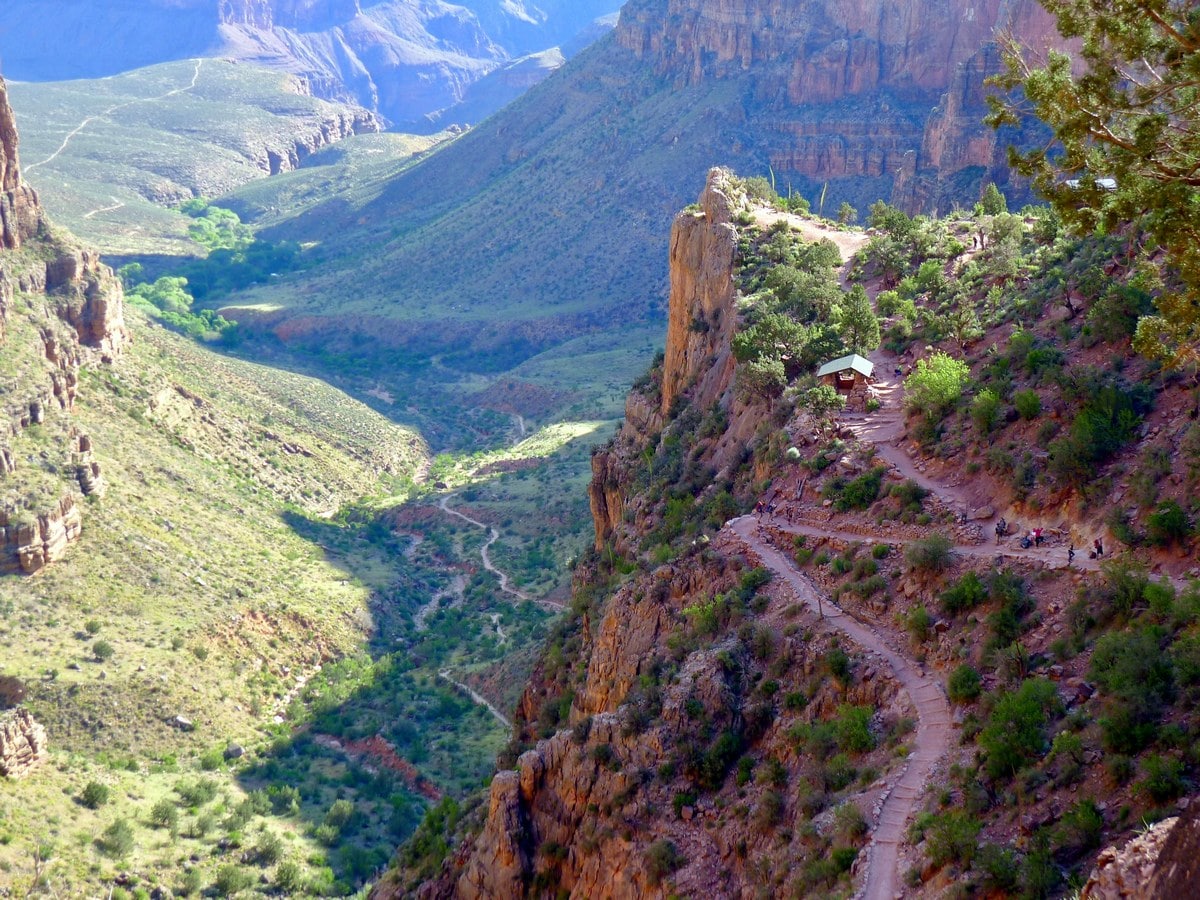
The first 4.0mi of the Bright Angel Trail are the steepest; with relentless switchbacks winding their way down an impossibly steep slope. There are rest shelters and water refilling stations located 1.5mi and 3.0mi down the trail, though these are typically more useful on the way up! If you are looking for a shorter hike, going down to the 3.0mi rest house and back yields the best bang for buck, with fantastic views and “only” 2119ft of elevation change.
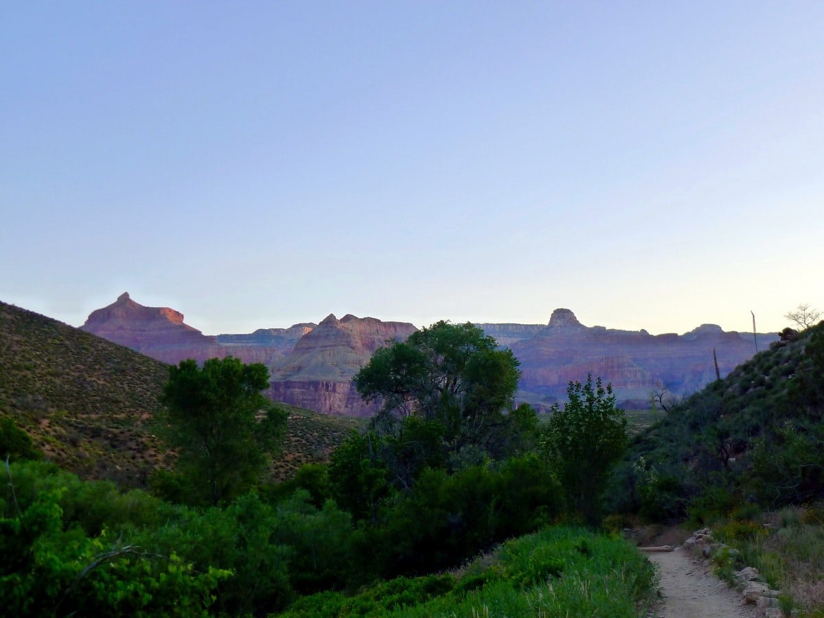
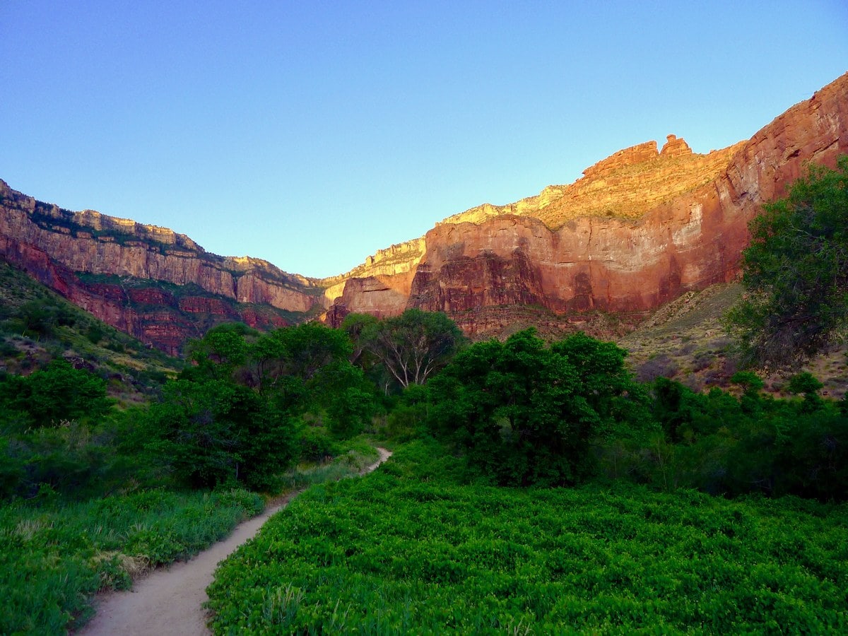
Once you have descended the hellish 4.0mi of switchbacks, you will hike along a much more level trail leading down towards the Indian Garden Campground. This well shaded oasis yields the last drinking water until the river, and marks the approximate halfway point (in terms of distance) for getting down. Camping here must be arranged in advance, as permits have to be acquired from the Backcountry Office.
Once past Indian Gardens, the trail remains relatively level until you reach another smaller set of switchbacks. These are approximately half the length of the ones you just did, so they’ll feel like nothing! You will relentlessly descend all the way down to the river, where you are then given several options for where to mark the end of your hike.
The River Resthouse is the obvious contender, as it’s the first you’ll see that offers washrooms and some shade. You can also go a little ways further down to a small beach to wash your feet in the fast flowing Colorado River. We recommend, if you have the energy, to continue for another 1.5mi or so along a mostly flat trail to the silver suspension bridge that crosses the Colorado. From here there are the most picturesque views of the steep inner canyon. After an undoubtedly long rest, prepare yourself for the way back up.
Frequently Asked Questions about the Bright Angel Trail
How long does it take to walk the Bright Angel Trail?
The average hiking time for the Bright Angel Trail is anywhere between 5-7 hours. This trail is not for the faint of heart and takes almost double the time to go back up then it does going down––it’s a serious incline!
Is Bright Angel Trail dangerous?
The Bright Angel Trail is not particularly dangerous, though you should hike with caution. The train is exposed without railings and can be rocky at times. There are a few hikers who sprain their ankle here each year. The most common thing to watch for is heatstroke, as there is little shade and it can be extreme hot in the canyon during the summer months.
Is there water on Bright Angel Trail?
Yes, there are multiple water stations along the trail, so be sure to bring a reusable water bottle!
Why is it called Bright Angel Trail?
Unfortunately there is no fun story attached to the Bright Angel Trail. It was named the Bright Angel Trail when it was registered with Yavapai County back in 1891 and has remained that way ever since.
Do you need hiking boots for the Grand Canyon?
Yes, it is highly recommended to wear hiking boots on any train in the Grand Canyon, as the trail can be rocky at times and often quite steep in nature.
Do you have to pay to hike the Grand Canyon?
There is a Grand Canyon National Park Vehicle Permit of $35 to enter the park, but there is no specific fee if you wish to hike once inside the park.
Find even more great hikes in Grand Canyon National Park:
Insider Hints
An extremely popular long day hike or backpacking trip is to descend the South Kaibab and ascend the Bright Angel Trail. If camping, do so at the Bright Angel Campground, though a backcountry permit is required.
Head up the well signposted trail to the canteen at Phantom Ranch to grab a snack or a cold drink (with ice!). Though outlandishly expensive, we think lemonade has never tasted sweeter.
It is impossible to emphasize enough how important it is to start early. Starting to hike at 3 a.m. is not uncommon.
All the signs at the trailhead suggest eating copious amounts of salty, carbohydrate dense foods. We find that a can of Pringles of similar chips fit the bill in the most perfect way for these long hikes!
Another option for a solid, 4th grade day hike is to descend to Indian Garden then traverse along the mostly flat trail to Plateau Point. Though this has high mileage (12.0mi round trip), it has much less elevation gain than going all the way to the river – “only” 3081ft.
Similar hikes to the Bright Angel Trail hike

Deer Creek to Colorado River Hike
The Deer Creek to Colorado River hike is a very challenging 18.0mi hike that leads you from the…

Waldron Trail
Waldron Trail is a hiking trail on the South Rim of the Grand Canyon that’s a bit of a hidden…

Surprise Valley Camp to Deer Creek Falls
This route details Surprise Valley Camp to Deer Creek Falls, a hike in the remote northwestern arm of the Grand…


Tiffany Swift 5 years ago
This was an amazing trail at the Grand Canyon. Love this hike!
TailBlazer 5 years ago
Beautiful, well-kept trail that allows a special vantage point of the canyon and rim. There is amazing view of the rim above you!
TwoBoots 5 years ago
This is a great trail with lots of switchbacks. Beautiful, well-kept trail.
Anabelle Clyde 5 years ago
Worth the time to walk the trail. Really worth it to spend your time.
Frank M. 5 years ago
A great trail starting at the south rim and going down in the canyon.It's beautiful, and can be a bit dangerous. Plenty of great views as well. Take your time and enjoy the hike.
Prince Ng 6 years ago
Mesmerizing landscapes all around! We started the hike around 2am.
Dayton M. 6 years ago
Mesmerizing views of the glacier and lake. It was quite intense if you don't work out much.
Minzy Lee 6 years ago
Nice hike in the park. The view of the French Alps was absolutely stunning!
Kim Pillar 6 years ago
Great hike. Microspikes and poles are recommended for a better experience.
Adel Hamdani 6 years ago
Perfect hiking destination if you are into challenges!