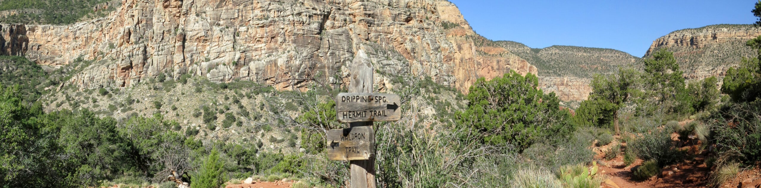
South Kaibab Trail
View Photos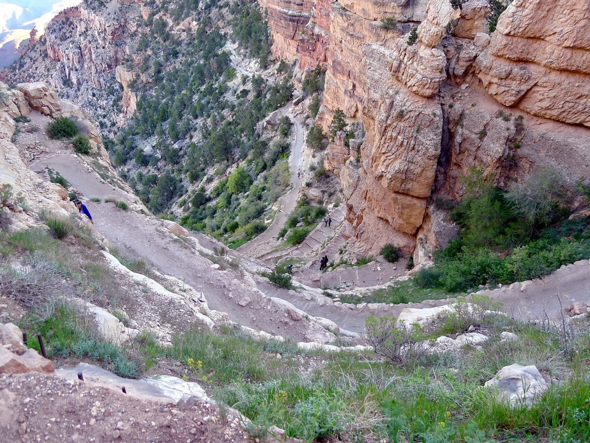
South Kaibab Trail
Difficulty Rating:
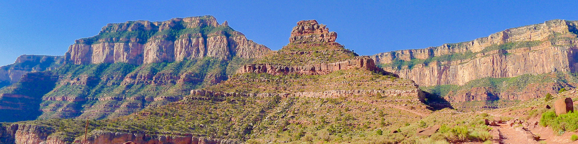
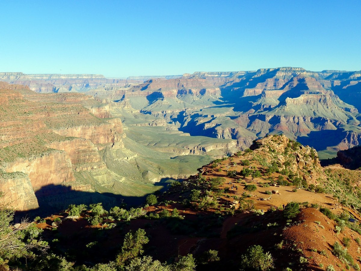
The South Kaibab Trail is one of the hardest hikes in the Grand Canyon National Park and makes for an unforgettable challenge if you’re up to the task! You’ll be provided with incredible views over the park for most of the way and then enjoy some backcountry camping at the scenic Bright Angel Campground.
Getting there
The Kaibab Trailhead parking lot (located on Yaki Point) is closed to general traffic, and must be reached by a bus. The easiest way to do so is to take the Hikers Express which leaves the Backcountry Office at 5, 6 and 7 am. It also passes by the visitors centre shortly thereafter. This bus will take you directly to the trailhead, where you’ll find water bottle refill stations and pit toilets. If you choose to start later (not recommended), or need a ride back after returning, you will have to take the Orange Bus back to the visitors centre, then connect to where you parked your car. Check the hours of the buses when you arrive to confirm you will make it back in time!

About
| When to do | Spring and Fall, avoid summer heat |
| Backcountry Campsites | Yes, permits required |
| Toilets | At Trailhead, two along trail |
| Family friendly | No |
| Route Signage | Average |
| Crowd Levels | High |
| Route Type | Out and back |
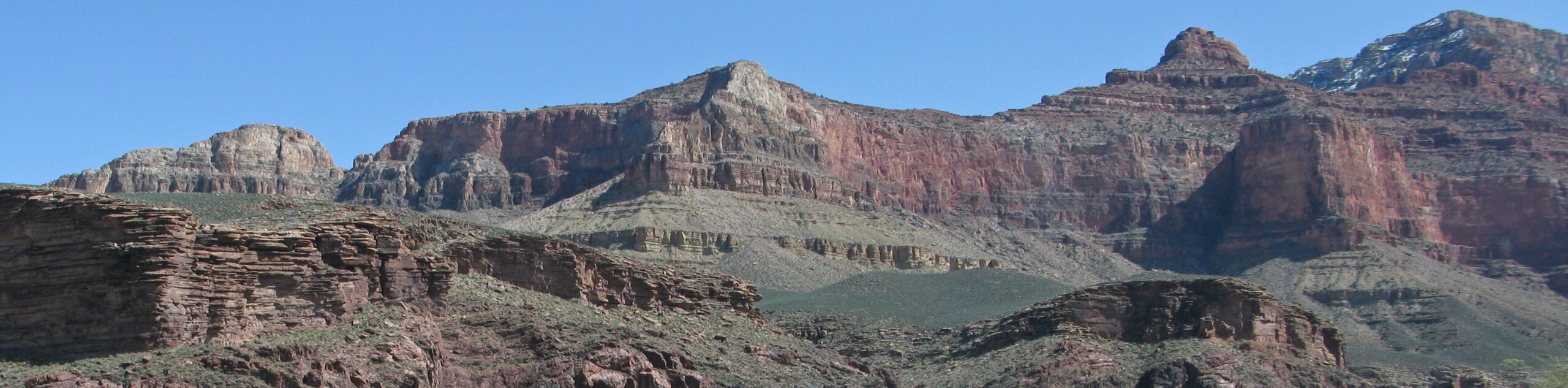
South Kaibab Trail
Elevation Graph
Weather
South Kaibab Trail Description
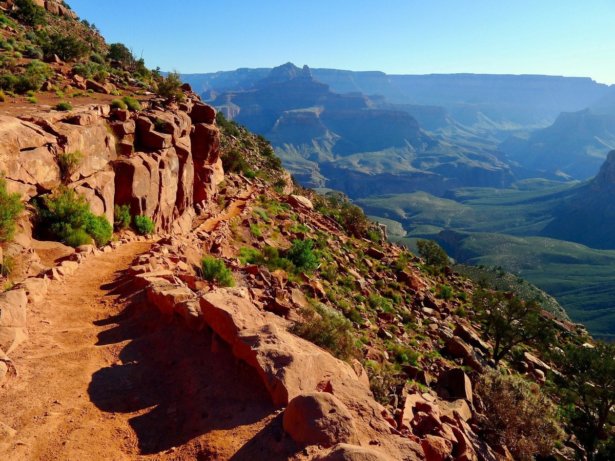
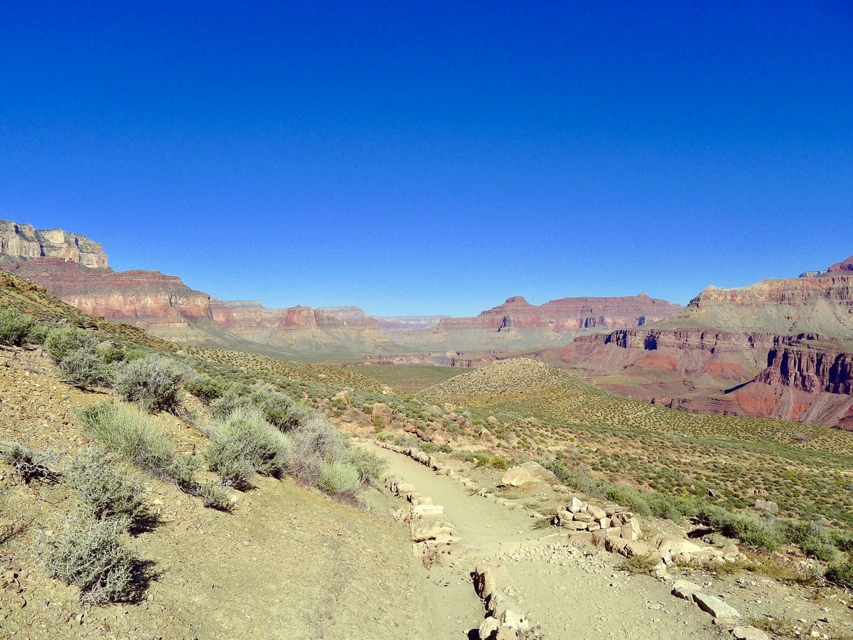
After filling up on water, find the trailhead behind the washrooms. The steep South Kaibab Trail starts by putting you right in the action; switchback city! Keep an eye out – mules use this trail as well and you will most likely also encounter some dung. Take care and yield to both uphill hikers and mules.
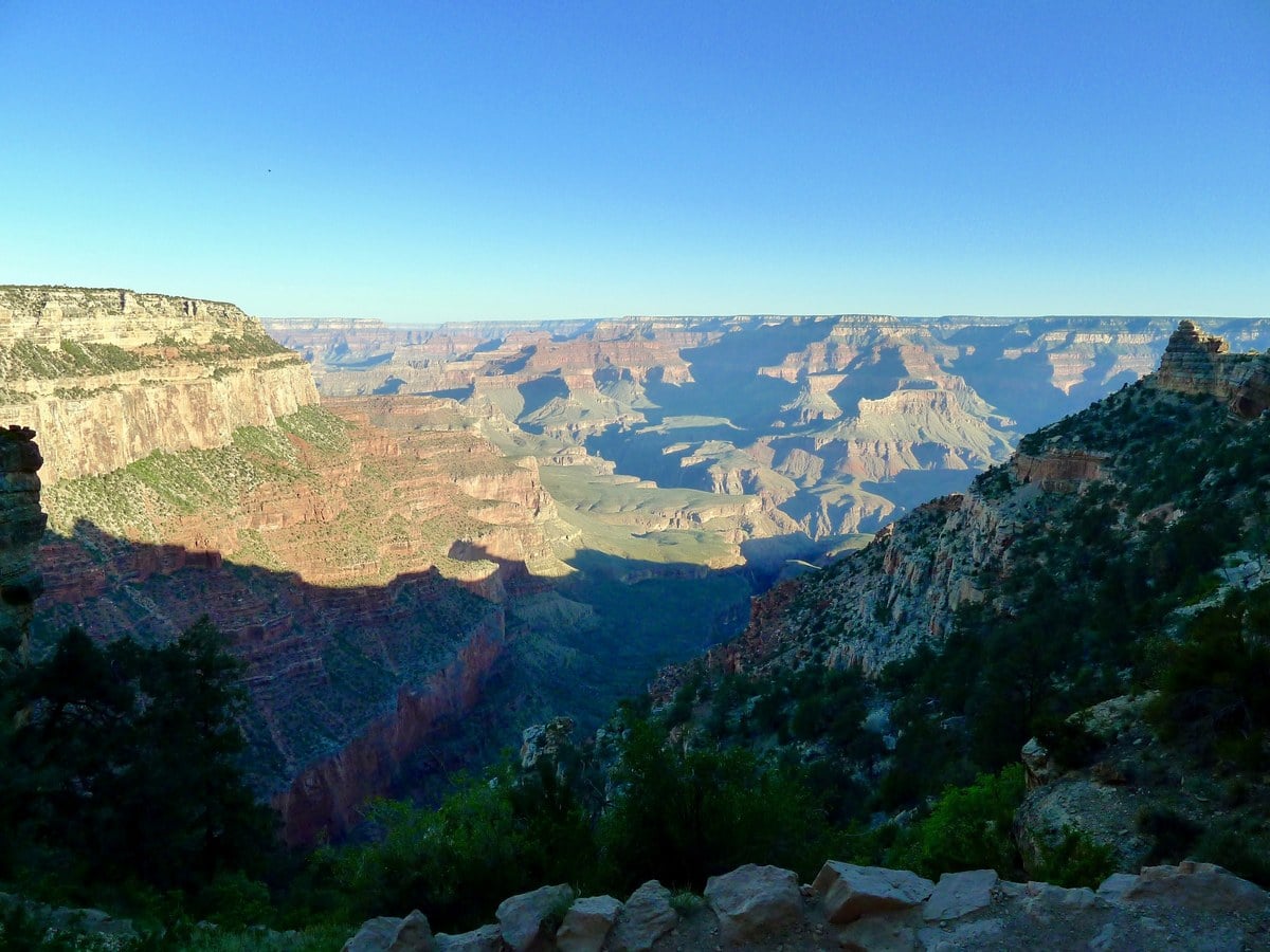
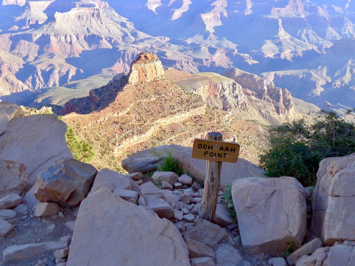
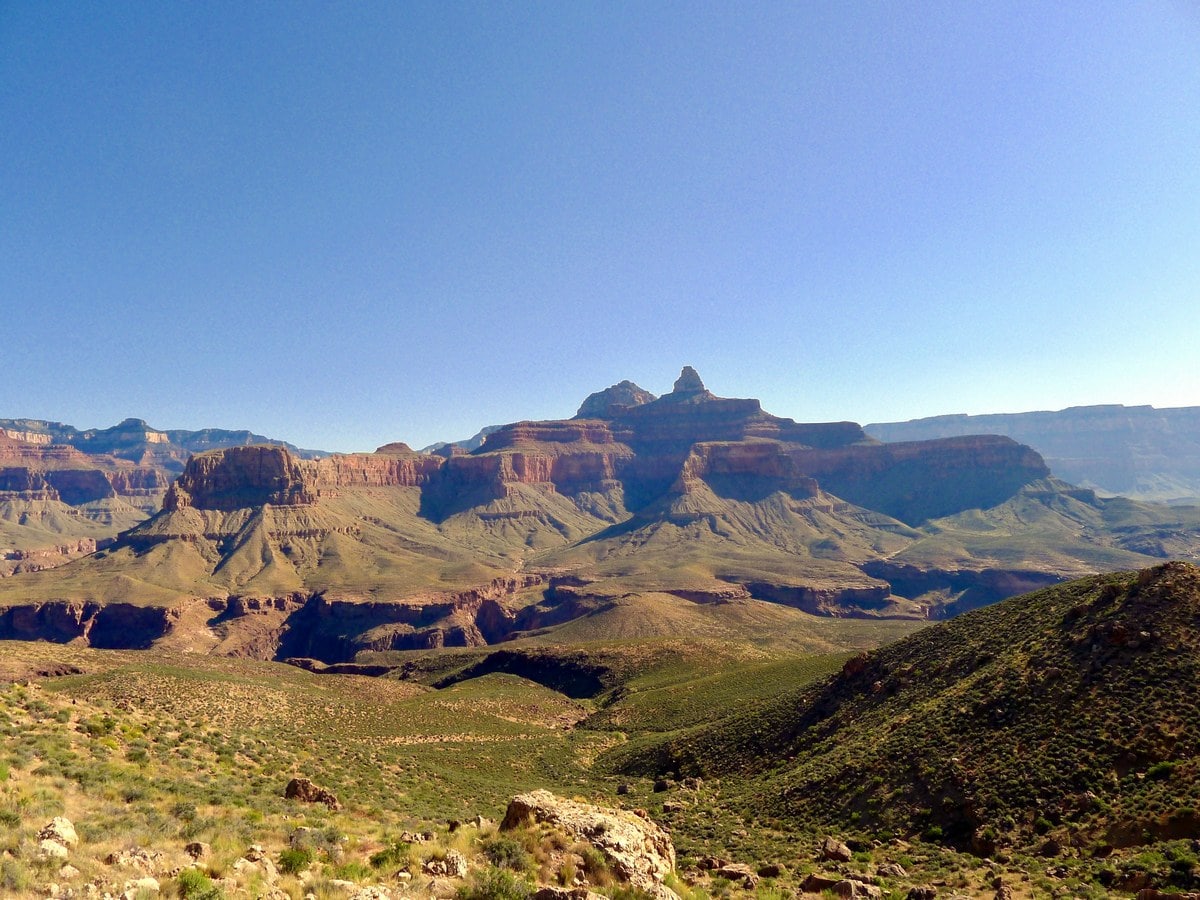
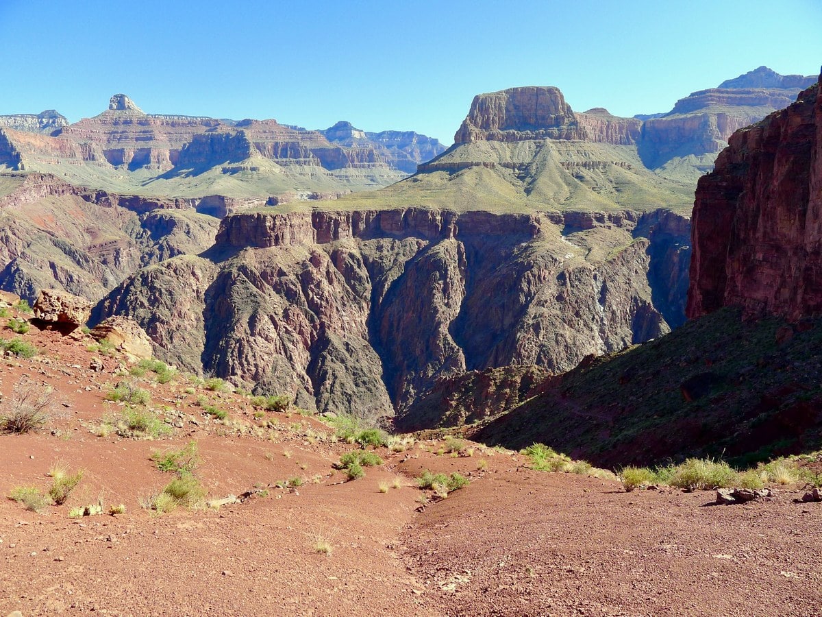
After descending 760ft and going just under a mile you will reach Ohh Ahh Point – a scenic point offering fantastic views down into the inner canyon, and across at the Bright Angel Canyon leading up towards the North Rim. This is a fantastic place to stop if you just want a short hike. Continuing on from here, the crowds will start to thin out and the sun exposure will begin.
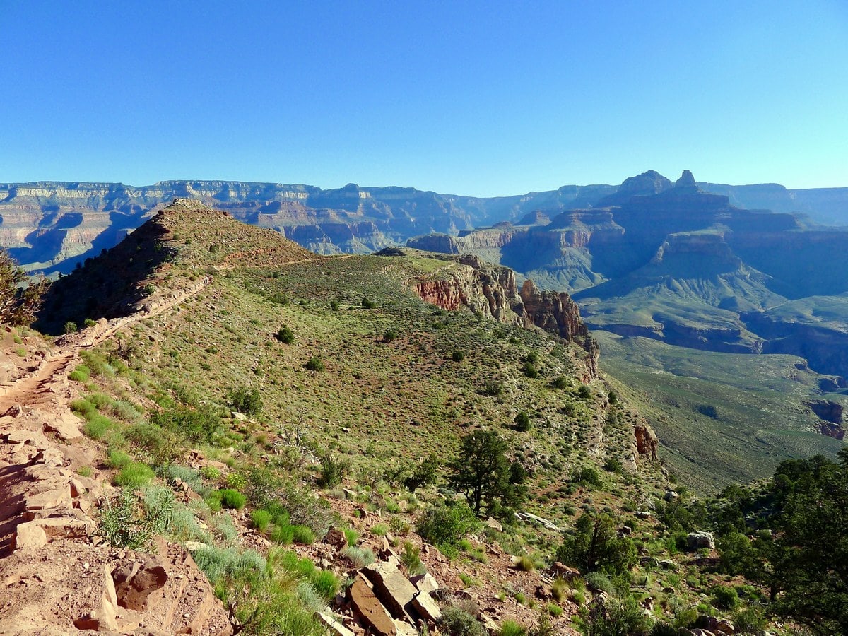
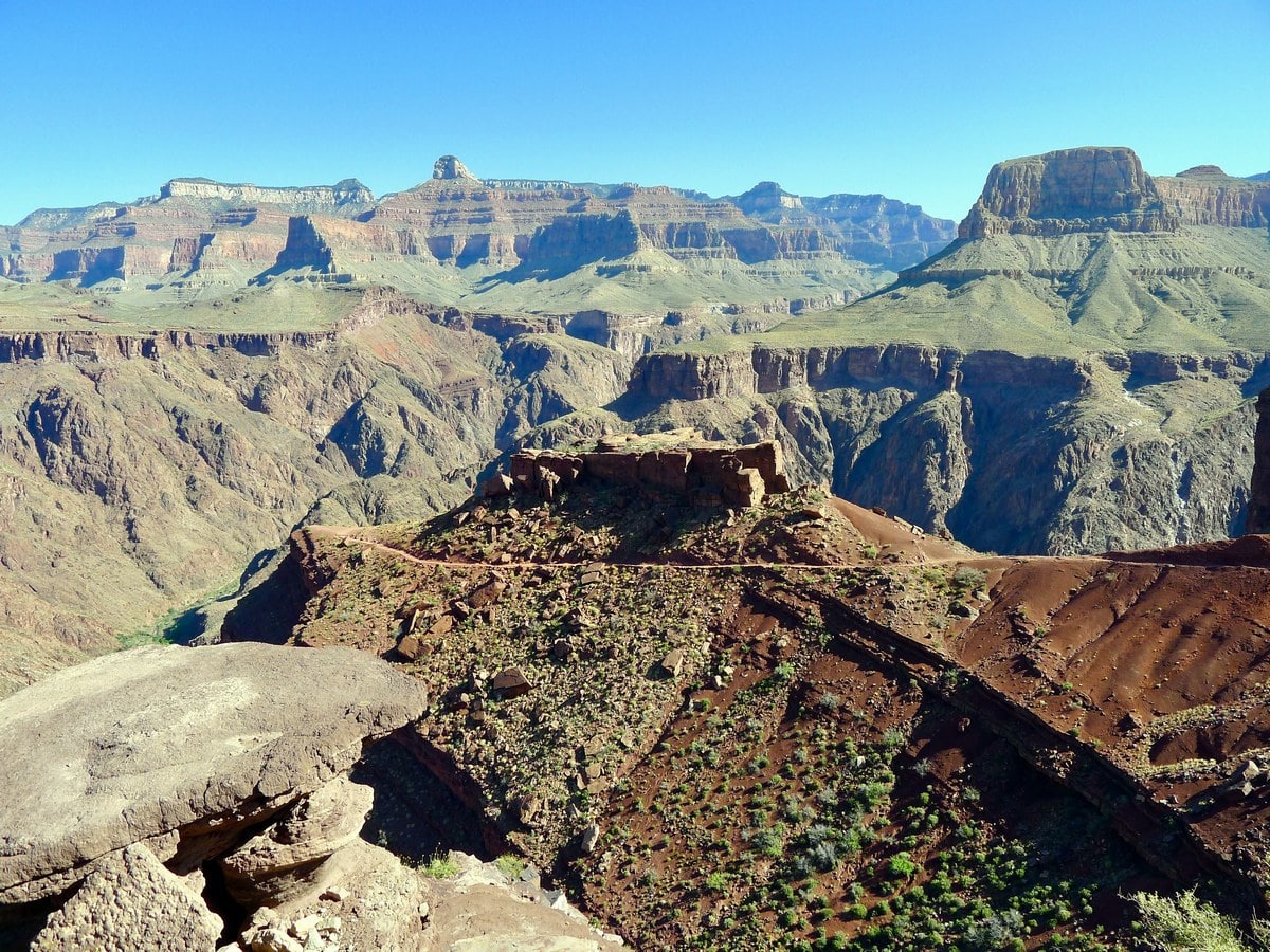
After descending a little ways further you will traverse a huge, exposed ridgeline. Soon you will reach the first washroom located along the trail, at Cedar Ridge. This is another great point to turn around, as it is a comfortable 1.5mi from the rim (1120ft). After traversing Cedar Ridge, you will descend even more sun exposed switchbacks, then continue along another ridgeline towards Skeleton Point.
Skeleton Point is a very popular destination for a more moderate day hike, as it retains many of the fantastic views found lower down on the trail while keeping the elevation gain to a minimum. Hiking to Skeleton Point is similar in difficulty to going down to Horseshoe Mesa on the Grandview Trail — it is 3.0mi one way, descending 2040ft. It would be rated a 3/5 for difficulty
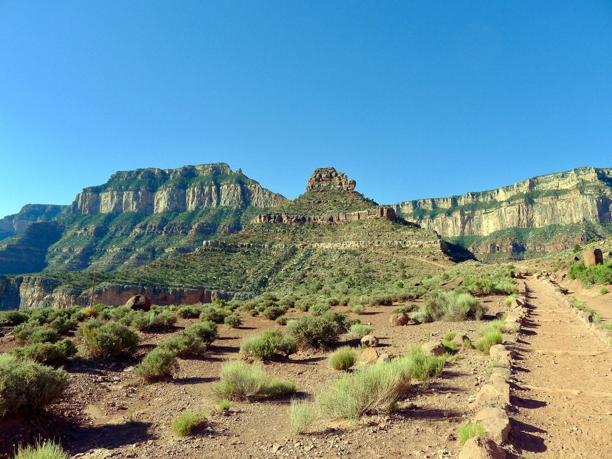
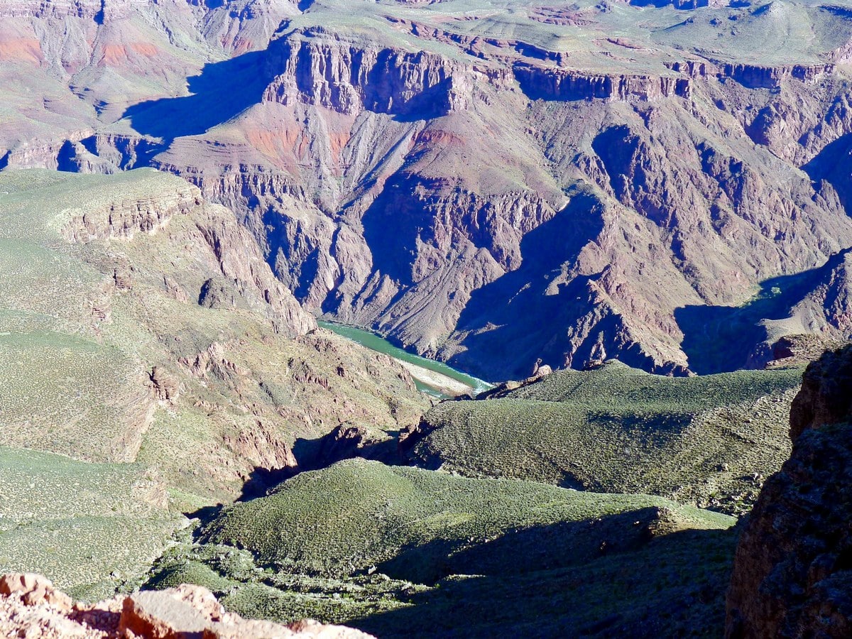
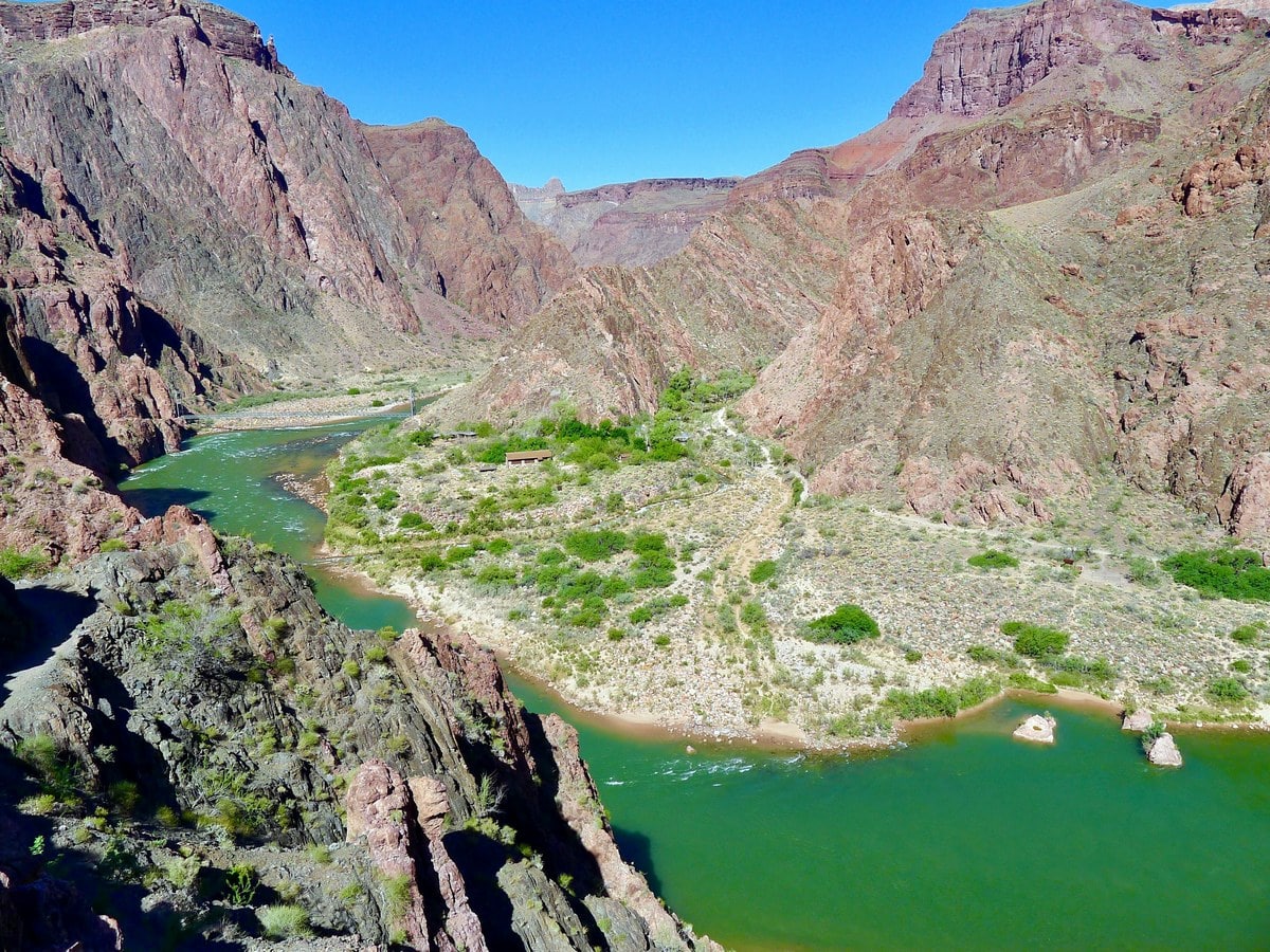
After roughly 1.4mi past Skeleton Point you will reach the second washroom, called Tip Off. Shortly after this stop you will start seeing views of the Colorado River, and will experience some of the hardest switchbacks on the trail. These red switchbacks are relentless, as you descend down a narrow gully all the way to the river.
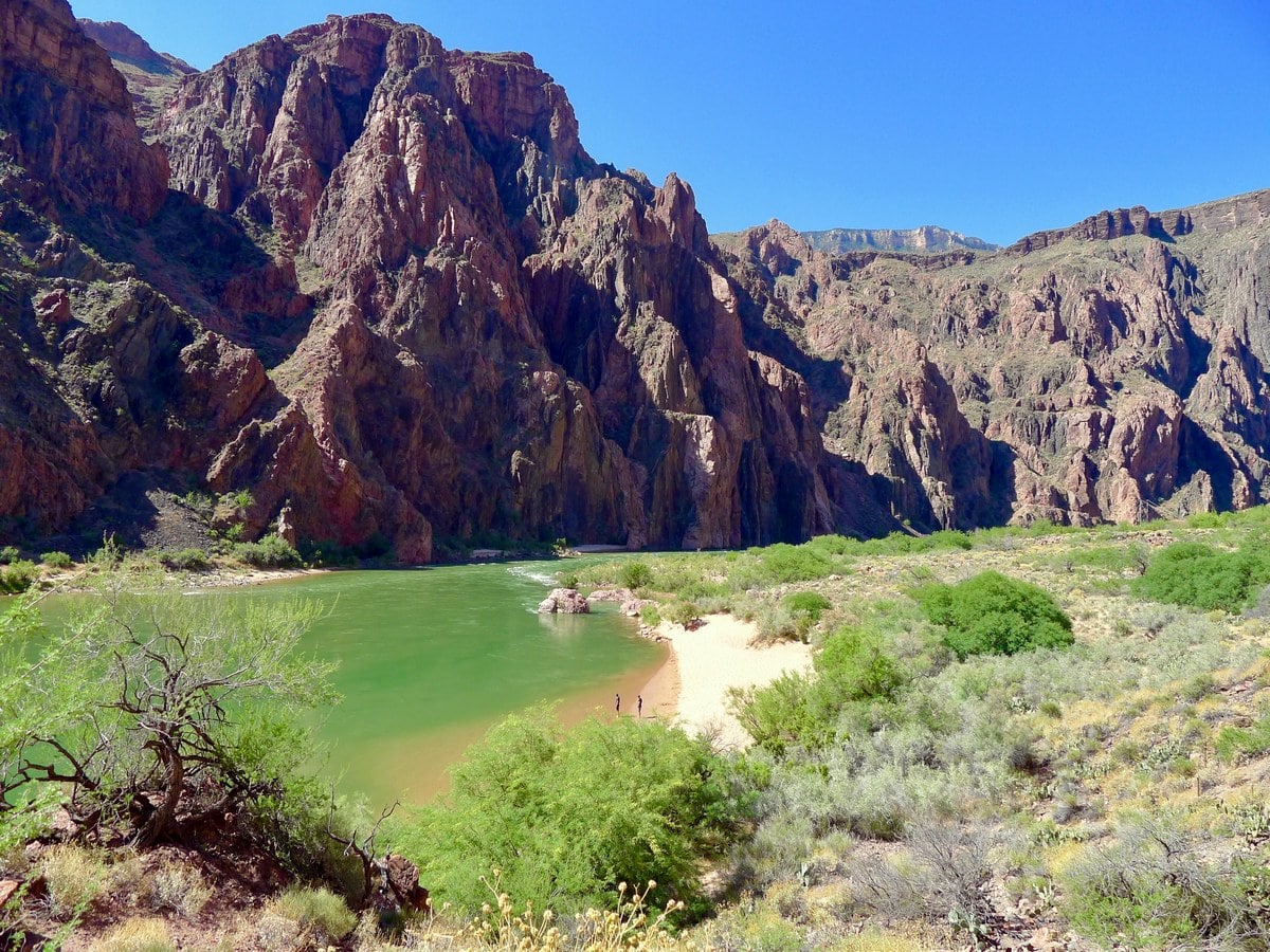
Finally at the bottom, you will cross over a neat black suspension bridge. On the other side we recommend resting on Boat Beach, a picturesque sandy beach that you can easily identify from the hike down. You can find some nice shade interspersed here, and you will be able to dunk you feet in the river. Don’t swim, however, as the strong currents of the Colorado River are extremely dangerous.
Frequently Asked Questions about the South Kaibab Trail
How long does it take to hike South Kaibab Trail?
To start from the trailhead, trek down to the bottom of the canyon and back up to the rim, it takes about 11 hours. You need to leave very early in the morning to ensure you have enough time and spend as little time in the sun as possible.
How difficult is the South Kaibab Trail?
This is a strenuous trail and hikers should come prepared for a full, long day. It is recommended to have some trail experience and rather physically fit if you wish to walk the entire thing in one day. We prefer to split the trail over two days and spend the night at a campground.
Which trail is better Bright Angel or South Kaibab?
The Bright Angel Trail is longer than the South Kaibab Trail, but it should be noted there is less elevation gain, so the train feels less strenuous. On the Bright Angel trail, you can also expect access to water and restrooms, which is why many prefer it over the South Kaibab trail. If you’re looking for a less crowded route with equally picturesque settings, the South Kaibab trail is for you.Find even more great hikes in Grand Canyon National Park:
Insider Hints
A very popular long day hike or backpacking trip is to descend the South Kaibab and ascend the Bright Angel Trail. If camping, do so at the Bright Angel Campground, though a backcountry permit is required.
Head up the well signposted trail to the canteen at Phantom Ranch to grab a snack or a cold drink (with ice!). Though outlandishly expensive, we think lemonade has never tasted sweeter.
It is impossible to emphasize enough how important it is to start early. Starting to hike at 3 AM is not uncommon.
All the signs at the trailhead suggest eating copious amounts of salty, carbohydrate-dense foods. We find that a can of Pringles or similar chips fit the bill in the most perfect way for these long hikes!

Similar hikes to the South Kaibab Trail hike
Deer Creek to Colorado River Hike
The Deer Creek to Colorado River hike is a very challenging 18.0mi hike that leads you from the…
Waldron Trail
Waldron Trail is a hiking trail on the South Rim of the Grand Canyon that’s a bit of a hidden…
Indian Garden Campground via Bright Angel Trail
Of all places to camp, the Grand Canyon is a pretty hard one to beat, to say the absolute least.…
Barbara Clarkson 4 years ago
The South Kaibab trail offers the best long views of the canyon. Great scenery.
Tiffany Swift 4 years ago
The best Grand Canyon hike we did. Incredible views and we paced ourselves which helped. It's well worth hiking below the rim to get a different perspective on it
RockJumper 4 years ago
Absolutely gorgeous. A must do if you hike, and even if you don't hike, a short hike from the top will be very rewarding.
TailBlazer 4 years ago
It's well worth hiking below the rim to get a different perspective on the Grand Canyon. There's another amazing view around each corner.
TwoBoots 4 years ago
It will be great if you will be fit and start early to finish the hike. Fantastic views.
Anabelle Clyde 4 years ago
Once you start down this trail, it's hard to stop, because there's another amazing view around each corner. It was worth it!
Anabelle Clyde 4 years ago
The scenery is spectacular as one might expect! Wonderful trail inside the canyon
Frank M. 4 years ago
Spending a day to this trail is really worth it. The challenge to reach the fantastic view. Definitely thumbs up!
MissGiggles 4 years ago
Excellent views as you head down to Canyon. Challenging hike just make sure bring plenty of water.
Lisa B 5 years ago
What a beautiful hike. South Kaibab Trail is really fantastic, definitely not too miss if you can do it.