McDonald Creek Trail
View Photos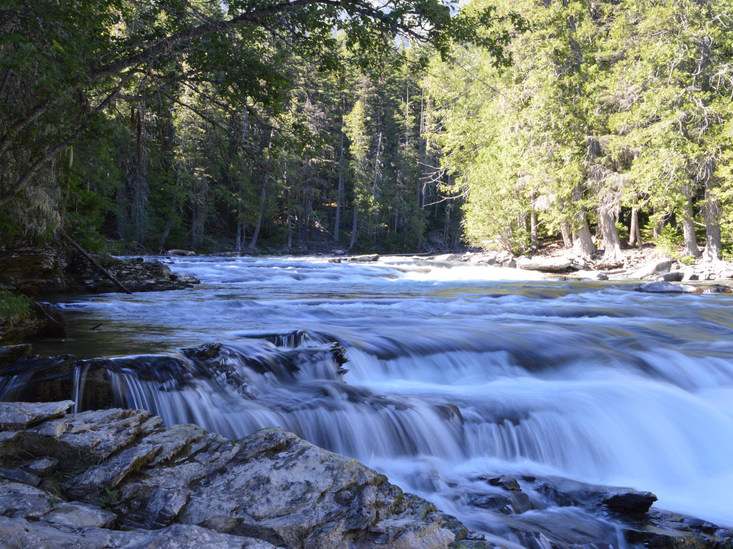
McDonald Creek Trail
Difficulty Rating:
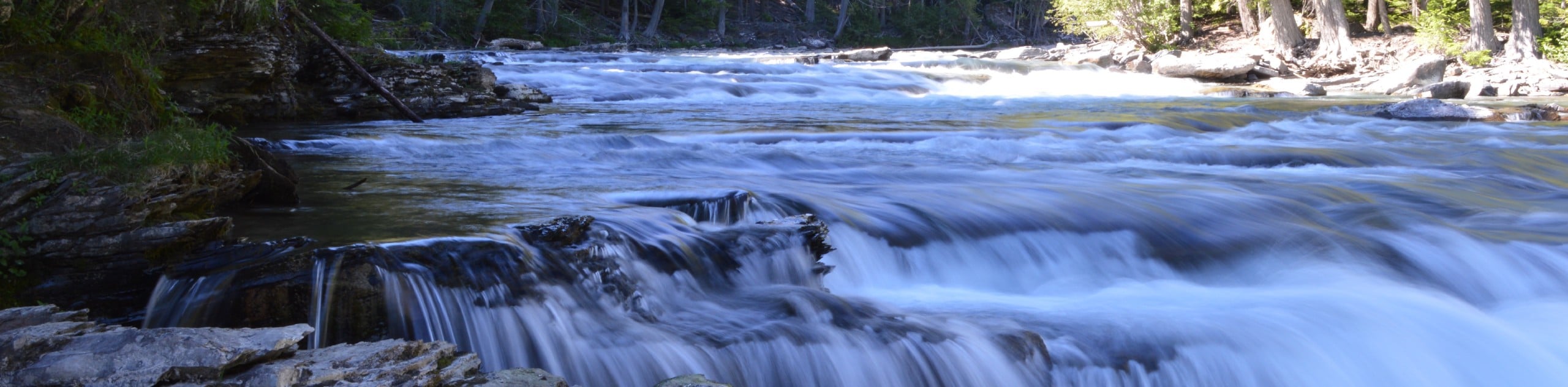
McDonald Creek Trail is a family-friendly trail that has many highlights. Traveling through lush green forests, you will discover McDonald Falls rushing through the rock formations. You will also get to see views from Avalanche Creek Outlook, which showcases beautiful views of the surrounding area.
Getting there
To get to McDonald Creek Trail from Lake McDonald Lodge, head eastbound on the Going-to-the-Sun Road for 1.5mi. Turning left on North Lake McDonald Road, the trailhead will come up on the right side of the road after 0.3mi.

About
| When to do | April - October |
| Backcountry Campsites | No |
| Pets allowed | No |
| Family friendly | Yes |
| Route Signage | Average |
| Crowd Levels | Moderate |
| Route Type | Out and back |
McDonald Creek Trail
Elevation Graph
Weather
McDonald Creek Trail Description
McDonald Creek Trail is a family-friendly hike through nature, beginning down a gravel path through the forest. After 0.3 miles, you will reach the spectacular McDonald Falls, and 0.2mi further, you will reach the horse path junction. Continue straight and follow the Upper McDonald Creek Trail. When you have hiked for another 0.3mi, you will reach the Sacred Dancing Cascades, which are known for their Kootenai saying “A good place to dance”.
After hiking 1.4mi, you will arrive at a large wetland area, and just a bit further lies the Avalanche Creek Lookout. Take your time exploring this area, and then head back the way you came as this is an out-and-back trail.
Similar hikes to the McDonald Creek Trail hike

Fish Lake Trail
Fish Lake Trail is a mix between relaxing and heart pumping. The start of the trail takes you through a…

Quartz Creek Trail
Quartz Creek Trail is a relaxing hike on a remote trail in Glacier National Park. The hike takes you through…

Snyder Ridge Trail
Hiking through Snyder Ridge Trail takes you through a forest for most of the trail that follows the ridge along…
Comments