Windy Ridge and Plains of Abraham Loop
View Photos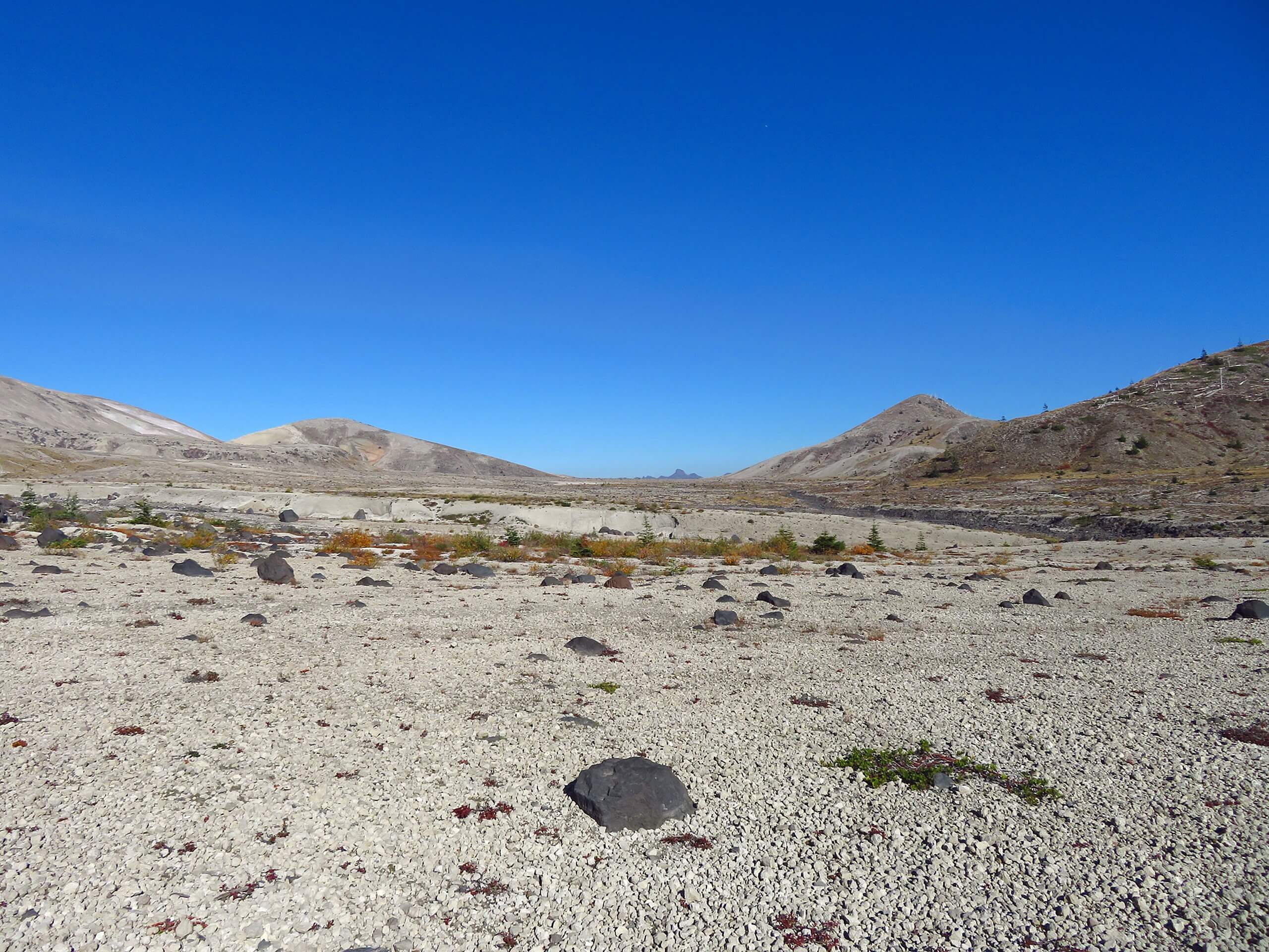
Windy Ridge and Plains of Abraham Loop
Difficulty Rating:
The Windy Ridge and Plains of Abraham Loop is an 8.4mi lightly trafficked hike in Gifford Pinchot National Forest. This hike is rated as moderate but requires some consideration before taking on. There’s a section of trail that is very hard to make out and leads to a narrow path on the side of a mountain with a dramatic dropoff. If you’re not keen on exposure or routefinding, try another trail. If you love a bit of adventure, give this one a shot.
Getting there
The trailhead for the Windy Ridge and Plains of Abraham Loop is at the Windy Ridge Interpretive Site at the end of Spirit Lake-Iron Creek Road.

About
| Backcountry Campground | No |
| When to do | June-November |
| Pets allowed | No |
| Family friendly | No |
| Route Signage | Poor |
| Crowd Levels | Low |
| Route Type | Loop |
Windy Ridge and Plains of Abraham Loop
Elevation Graph
Weather
Windy Ridge and Plains of Abraham Loop Description
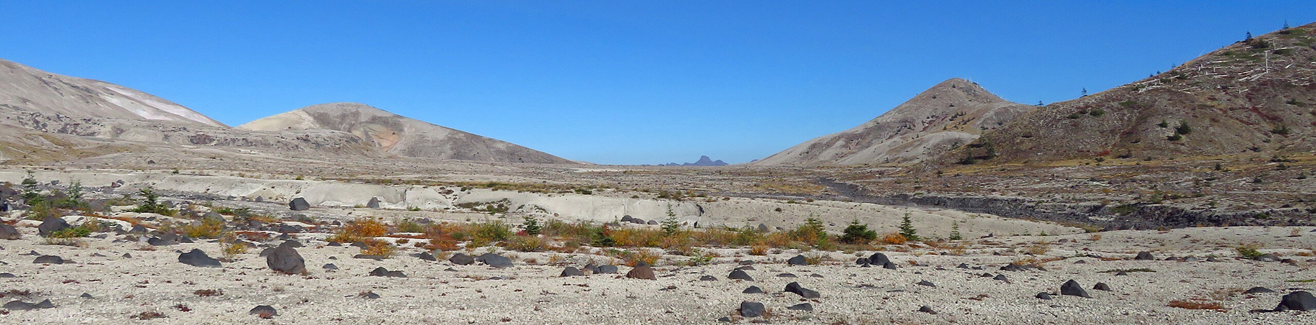
The Windy Ridge and Plains of Abraham Loop is an exciting hike with varied terrain. This trek feels truly remote in some parts and offers lots of challenges for a moderate hike. It feels like you’re getting up right next to a volcano on this trail- which you are!
We don’t recommend this hike for those who aren’t confident in their routefinding or who dislike high exposure. There is a section of trail that becomes very faint, and users report being led into an unsafe boulder canyon by accident. When you do find the faint trail, it takes you through a high, exposed trek on the side of a mountain that would likely feel very unsafe for some. Use your judgement and turn back if you’re uncomfortable.
Beginning from the Windy Ridge Interpretive Site, you’ll take the gravel Spirit Lake Iron Creek Road to where the trail splits. Most users prefer clockwise, so go left. You’ll navigate the steep, rocky terrain, making sure to watch for the game trail instead of taking the large boulders through a canyon. Loop around on Loowit Trail (keeping right) to pass beside Alpine Butte. Stay right to close the loop and return on the gravel road.
Similar hikes to the Windy Ridge and Plains of Abraham Loop hike

Ptarmigan Trail
Ptarmigan Trail is a 4.2mi moderate trail near the base of Mount Saint Helens. This trail is suitable…

Boundary West Trail
Boundary West Trail is a hike near Mount Saint Helens that doesn’t see much traffic, making it a nice pick…

Silver Creek Trail
Silver Creek Trail is a moderate hike in the Gifford Pinchot National Forest that is suitable for most skill levels.…
Comments