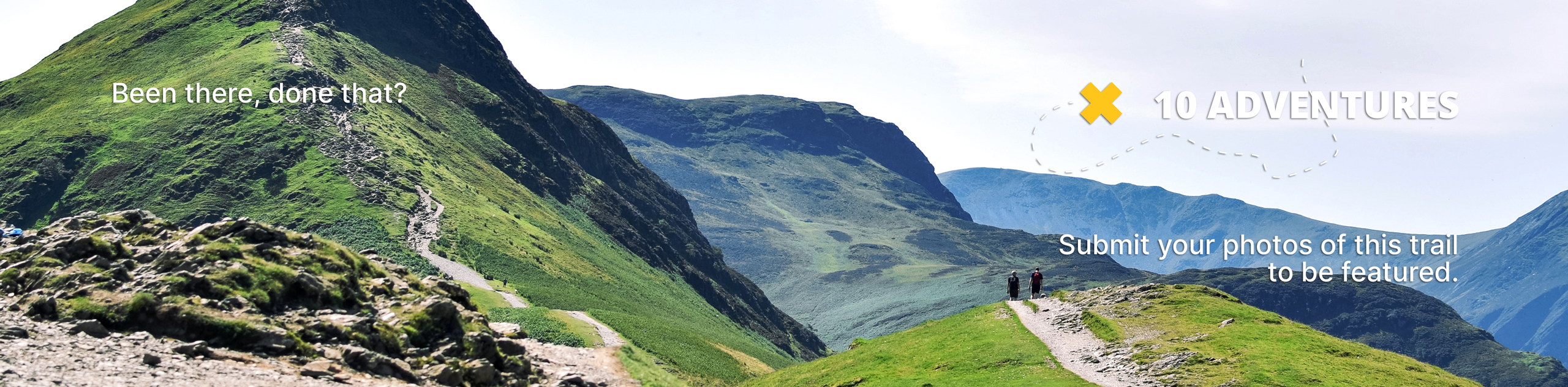
Loch Lomond Colorado Trail
View Photos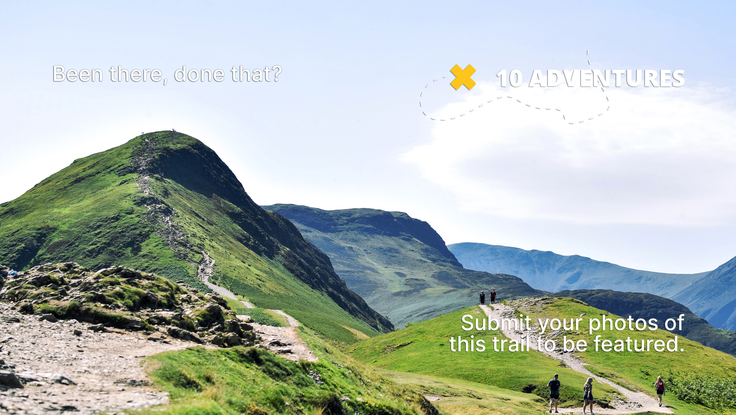
Loch Lomond Colorado Trail
Difficulty Rating:
The Loch Lomond Colorado Trail is a shared OHV route up to Loch Lomond Lake. This trail can be completed either on foot or by 4x4 vehicles. Travel through the lush Colorado woodlands up to the Continental Divide to an alpine lake. Flanked by craggy cliffs and a cascading waterfall, the Loch Lomond Lake is a sight for sore eyes. This versatile trail has something for everyone, not to mention it can also be snowshoed in the winter months!
Getting there
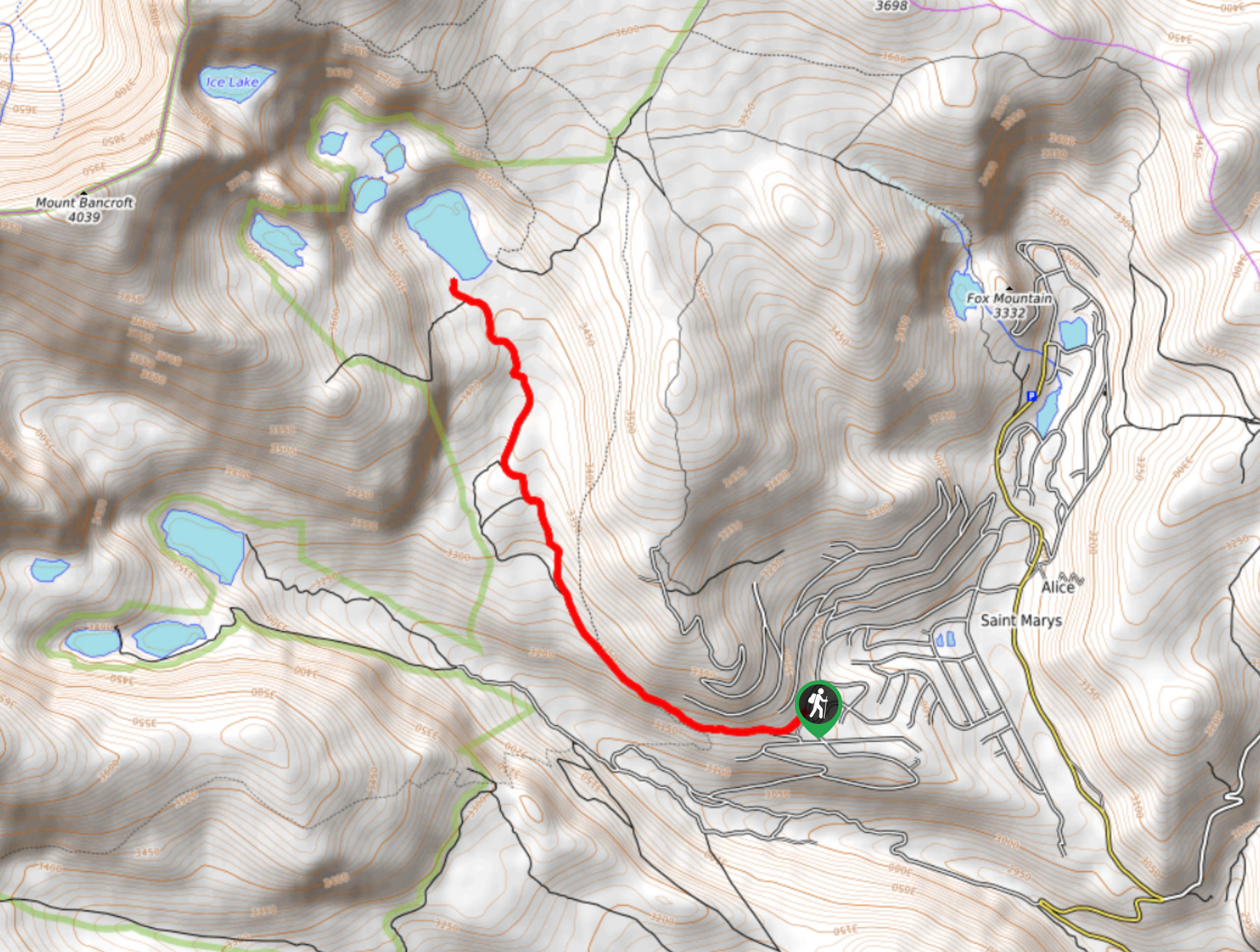
The Loch Lomond Trail is located on the Stewart Road in the town of St. Mary’s, Colorado.

About
| Backcountry Campground | Dispersed Backcountry Camping, see rules and regulations. |
| When to do | June-September |
| Pets allowed | Yes - On Leash |
| Family friendly | Yes |
| Route Signage | Average |
| Crowd Levels | High |
| Route Type | Out and back |
Loch Lomond Colorado Trail
Elevation Graph
Weather
Loch Lomond Colorado Trail Description
The Loch Lomond Colorado Trail offers adventures for everyone. Hike it, bike it, run it, or drive it; the possibilities are endless. We love this trail, and we prefer to hike it! This route will guide hikers up the well-marked trail to Loch Lomond Lake situated along the Continental Divide. The elevation gains up to the pass is manageable as the trail gradually climbs up to the crystalline alpine lake. Do wear layers to avoid getting cold on the exposed sections of the hike!
If you plan to drive this route, note that the lower gate closes seasonally from December-June, and the upper gate closes yearly from mid-October to mid-July. No worries though, you can always park at the gateways and hike or snowshoe up to the lake in the off-season. When travelling up the road, go slow and be mindful of hikers along the way.
We love that this stunning trail can be enjoyed in multiple ways! Due to its accessibility to vehicles, the route is explicit and easy to follow, a nice change, right? Follow the route through the dense alpine forest, traverse meadows exploding with wildflowers and ridge the Continental Divide to the blue-hued lake that is great for fishing. What more could you ask for? High up on the Divide, the Loch Lomond Lake offers panoramic views of the encompassing peaks and sights of the diverse Colorado landscape below.
Embark on your adventure up the Loch Lomond Colorado Trail from the Loch Lomond gate at the end of the Stewart Road. If you are hiking this trail, park along the edge of the Stewart Road and walk up to the gateway. Once at the first gateway, track west along the Loch Lomond Trail. Continue along the dirt road as you pass through dense forests. Admire the grandeur of the aspen trees and keep an eye out for moose and bears, they are often spotted in this area.
Maintain along this path as you gradually climb in elevation towards the Divide. You will shortly pass the second gateway. Now above the treeline, the path becomes increasingly exposed and rocky. Hike through the fragile ecosystem that is the alpine tundra. If you travel this path in the summer months you will be rewarded with sights of the tundra littered with bright wildflowers.
As you approach the lake, the terrain will get slightly steeper. Hike up the ridge to Loch Lomond Lake. Once you summit the lake, views of the flanking peaks and the rocky Divide will leave you bewildered. Enjoy the expansive scenery and snap a few photos of the striking Mount Bancroft, which is situated in the west.
Bring your fishing rod? Try your hand at catching some trout! If you’ve still got some gas in the tank, hike northwest along Loch Lomond Lake and up the pass. Four more alpine lakes will come into view as you ascend the rocky ledge. In the west, Lake Caroline, and in the east, Reynolds Lake, Stewart Lake and Ohman Lake.
Trail Highlights
Mount Bancroft
Loch Lomond Lake is in the foreground of the impressive Mount Bancroft. Mount Bancroft sits at 12044ft of elevation and is the 8th highest summit in the Indian Peaks. Compared to other peaks in the Front Range, Mount Bancroft is often quiet and less trafficked. Hike the spectacular mountain and enjoy 360-degree panoramic views of the surrounding Front Range peaks and Colorado landscapes below. Continue past the Loch Lomond and Caroline lakes up a primitive trail to the summit and ski down the peaks east facing bowl.
Frequently Asked Questions
Can you fish in Loch Lomond Lake?
Yes, you can fish at Loch Lomond Lake if you have a permit! The Loch Lomond Lake most popular species are the Brook Trout, Lake Trout, and Cutthroat Trout.
Can you swim in Loch Lomond Lake?
Yes, you can swim in Loch Lomond Lake. The chilly alpine lake will cool you off in no time.
Similar hikes to the Loch Lomond Colorado Trail hike

Miller Gulch Loop Trail
The Miller Gulch Loop Trail is a scenic meadowland adventure in the Pike National Forest. Hike through grassy meadows laden…

The Castle Hike
The Castle Hike is an exciting adventure up the steep, forested terrain to The Castle Rock. From atop the summit,…

Rutherford Trail
The Rutherford Hike is a charming nature walk in Georgetown Colorado. This secluded trail is a wonderful adventure the whole…
Comments