Kruger Rock Trail
View Photos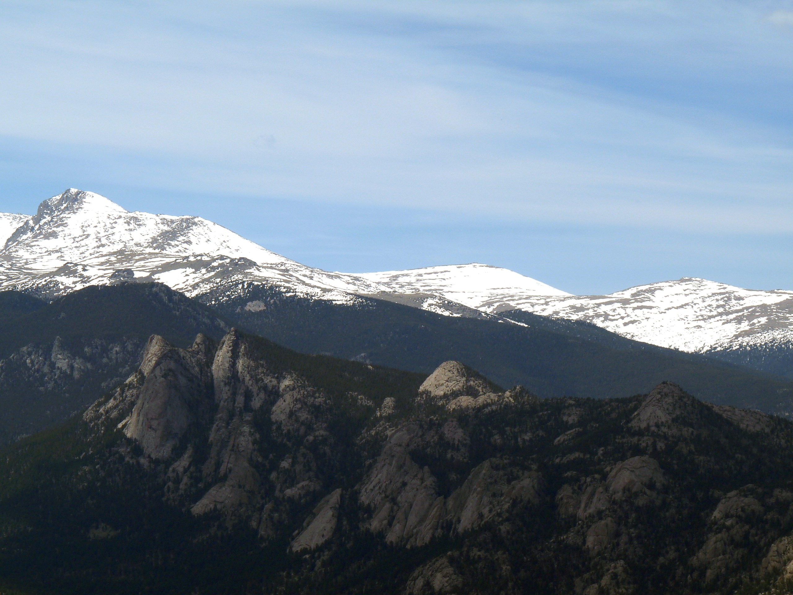
Kruger Rock Trail
Difficulty Rating:
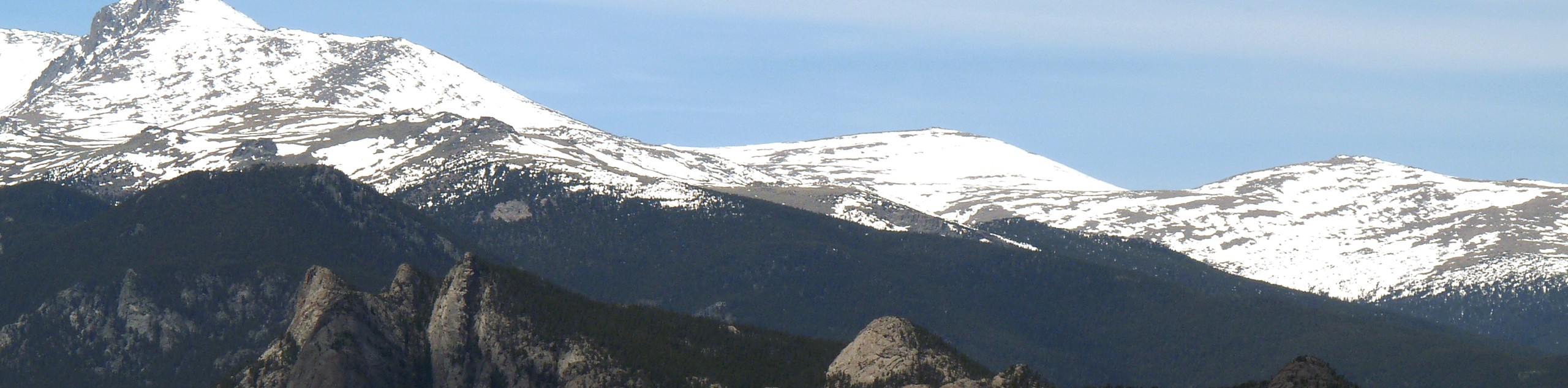
The Kruger Rock Trail is a stunning hike through lush aspen forest and between towering granite spires. Hike to the top of the rocky mountain and enjoy panoramic vistas of the forested landscape below. If you are looking to get your heart rate up, then this trail is the perfect adventure.
Getting there
The Kruger Rock Trail is located inside Hermit Park off of Route CO-36.

About
| Backcountry Campground | |
| When to do | March-December |
| Pets allowed | Yes - On Leash |
| Family friendly | Older Children only |
| Route Signage | Average |
| Crowd Levels | High |
| Route Type | Out and back |
Kruger Rock Trail
Elevation Graph
Weather
Kruger Rock Trail Description
Kruger Rock Trail is not for the faint of heart. Incredibly scenic, this path is also extremely steep. The short but steep path will guide you through stunning landscapes before delivering you to a rocky scree field. Make sure you and your party are wearing sturdy footwear before attempting the vertiginous climb. Additionally, make sure you pack plenty of water. The high altitude and intense scramble up the mountain will have you sucking wind. Though the path is steep, it is short. The intense climb is doable for those with little experience craving a challenge. Note that this trail is located within the Hermit Park, so visitors are required to purchase a $10USD parking permit per vehicle.
Embark on your adventure up the Kruger Rock Trail from the trailhead and parking lot. Head northwest up the Kruger Rock Trail. The initial section of this hike will guide you through a grassy Colorado meadow. Hike along the path as it intersects with the campground road and continue on. The path will then begin to lead you into a mixed pine and aspen forest. You will eventually confront a junction with the Limber Pine Trail. Maintain on the Kruger Rock Trail. Trek on, and the path will become increasingly exposed as you begin to ascend the rocky mountain. Navigate a few sets of switchbacks up to the base of the summit.
As you begin to ascend the summit, you will have to climb the steep rocky scree field, mind you footing as you hike up. Navigate another set of rocky switchbacks that lead up the westside of the mountain to the summit of Kruger Rock. Admire the grandeur of the rock peak and the granite boulders that dot the plateau. Enjoy the panoramic views from atop the Kruger Rock before retracing your steps back down to the parking lot.
Similar hikes to the Kruger Rock Trail hike

Hankins Pass Hike
The Hankins Pass Hike is a quintessential adventure across the Lost Creek Wilderness. The hike demonstrates the diversity of the…

Miller Gulch Loop Trail
The Miller Gulch Loop Trail is a scenic meadowland adventure in the Pike National Forest. Hike through grassy meadows laden…

The Castle Hike
The Castle Hike is an exciting adventure up the steep, forested terrain to The Castle Rock. From atop the summit,…
Comments