Grays Peak via I-70 Hike
View Photos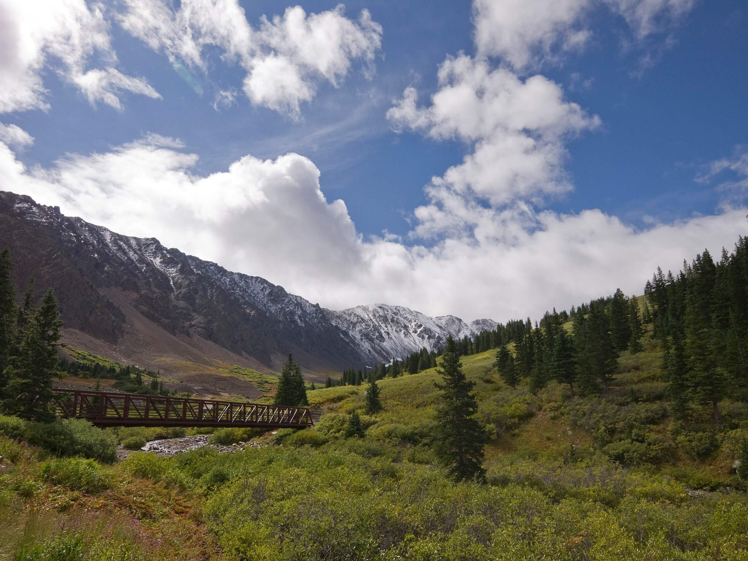
Grays Peak via I-70 Hike
Difficulty Rating:
The Grays Peak via I-70 Hike is a demanding adventure to the summit of a famous Colorado 14er. There are several trails that lead up to the summit of Grays Peaks, but none are quite as long as this adventure. If you are looking to get your steps in for the day, correction, for the week, then trek the Grays Peak via I-70 Trail.
Getting there
Begin your adventure up the Grays Peak via I-70 Trail from the parking lot at the beginning of the Stevens Gulch Road off the I-70.

About
| Backcountry Campground | Dispersed Backcountry Camping, restrictions apply. |
| When to do | Year-round |
| Pets allowed | Yes - On Leash |
| Family friendly | No |
| Route Signage | Poor |
| Crowd Levels | High |
| Route Type | Out and back |
Grays Peak via I-70 Hike
Elevation Graph
Weather
Grays Peak via I-70 Hike Description
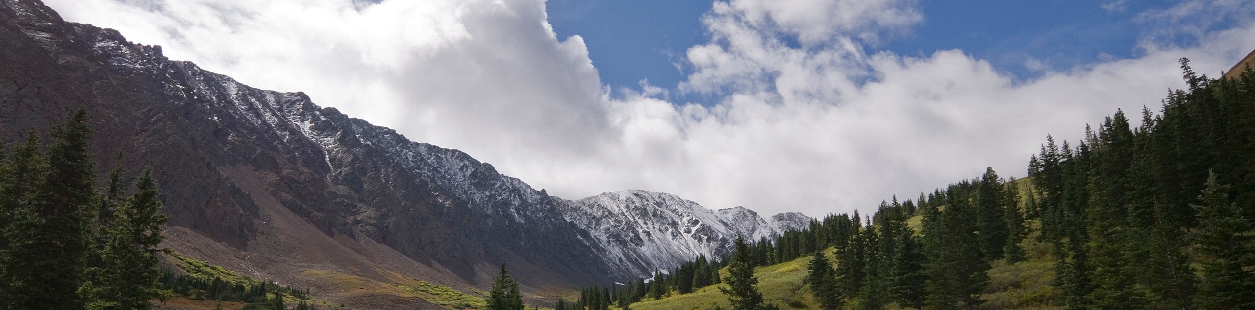
Grays Peak via I-70 Hike is a lengthy excursion that traverses along the Stevens Gulch Road and then up through foot-traffic only trails. This adventure is reserved for those acclimated to the high altitude of the area, make sure to bring plenty of water, and know your boundaries. If you wish to avoid walking along the Stevens Gulch Road, then consider hiking the Grays Peak and Torreys Peak Trail to experience only the best of what this scenic expedition has to offer.
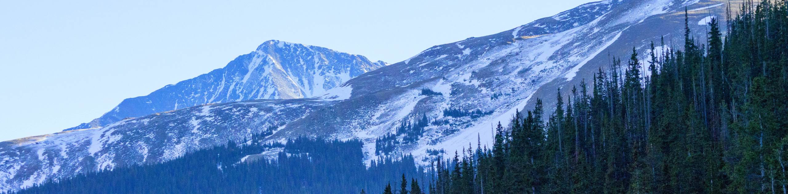
From the parking lot, track southeast along the shoulder of Stevens Gulch Road. Hike through the valley and bask in the vistas of the towering peaks from the forested gulch road. Travel between Kelso Mountain and Ganley Mountain, and you will soon arrive at the Stevens Gulch Trailhead. From here, take the well-marked, well maintained Grays Peak Trail. Ascend the rocky terrain to a small ridge. Hike up a set of switchbacks and follow the trail southwest. Graduate the timberline and you will be rewarded with an up-close and personal view of the mountain you are soon to summit.
Ascend the now exposed and increasingly technical terrain to the summit. Scramble up the rocky talus to the summit of Grays Peak. Revel in the expansive vistas of the Front Range region, and if you have any gas left in the tank, trek the mountain saddle north over to Torreys Peak.
To make your way back to the parking lot, simply retrace your steps along the trail, down to the road and back to the parking lot.
Similar hikes to the Grays Peak via I-70 Hike hike

Hankins Pass Hike
The Hankins Pass Hike is a quintessential adventure across the Lost Creek Wilderness. The hike demonstrates the diversity of the…
Captain Mountain Hike
The Captain Mountain Hike is a demanding excursion in the Mount Evans Wilderness. Hike through the dense Colorado Forests and…
Pettingell Peak via Herman Gulch Trail
The Pettingell Peak via Herman Gulch Trail is a stimulating hike up to mesmerizing Front Range views from the summit.…
Comments