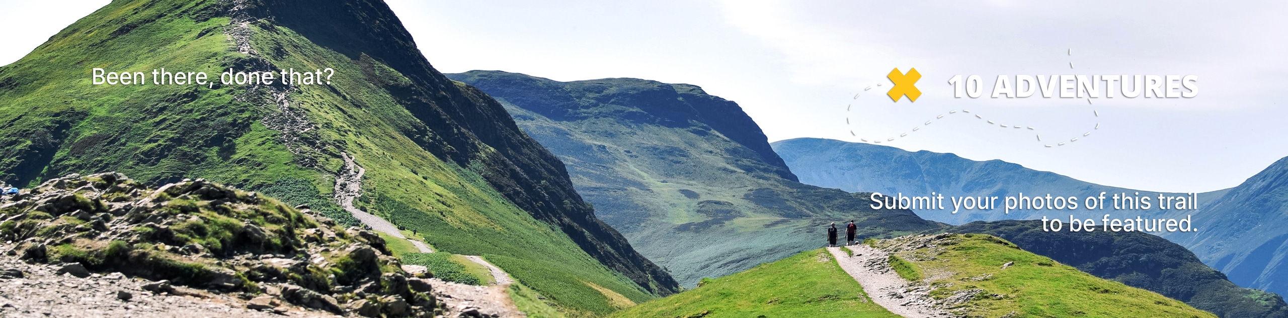
Mount Outram Trail
View Photos
Mount Outram Trail
Difficulty Rating:
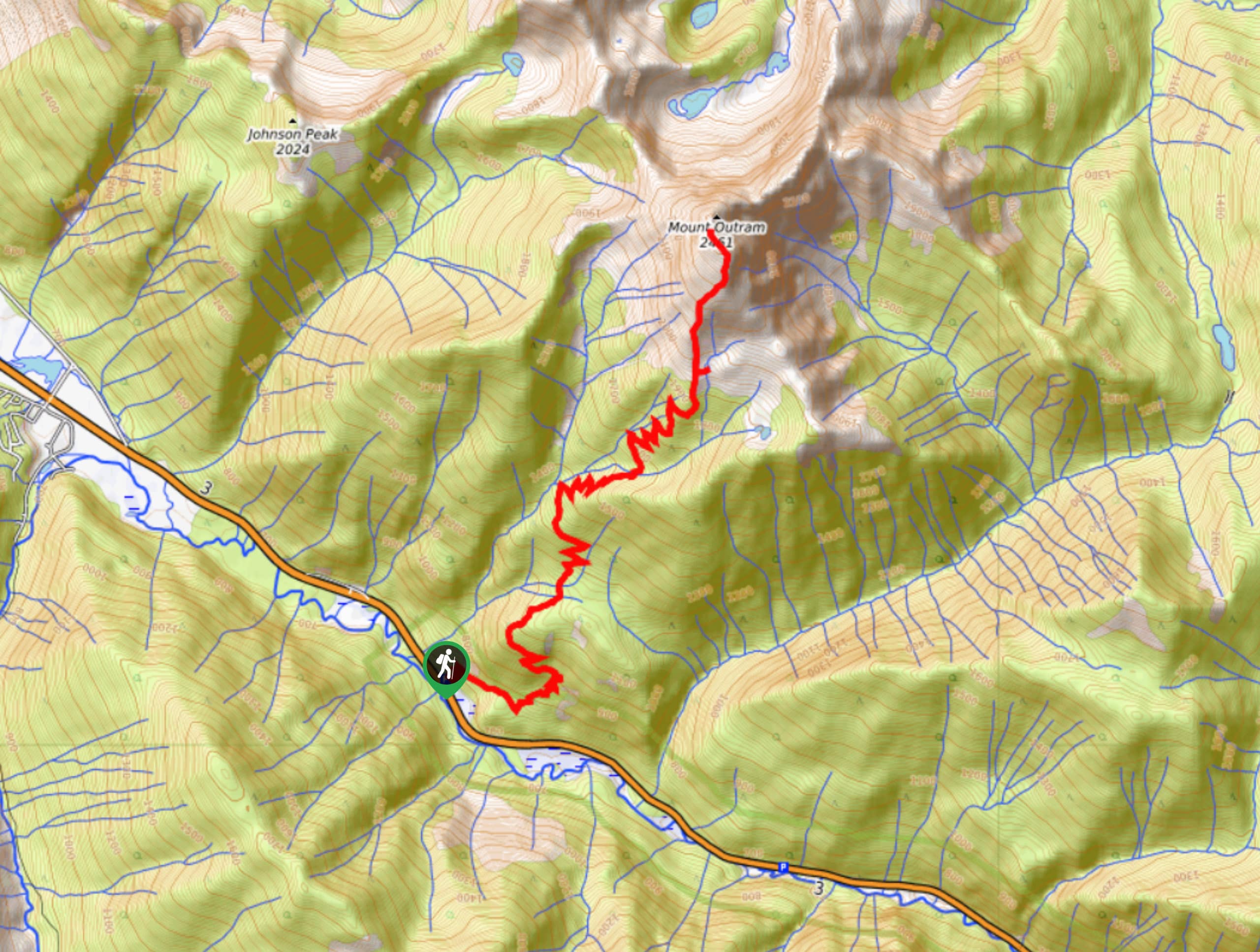
The Mount Outram Trail is an 11.5mi out-and-back hiking route near E.C. Manning Provincial Park that works through a beautiful stretch of forest on an uphill climb to visit a pristine lake before summiting Mount Outram itself. The area around the lake offers picturesque views and is often chosen as a spot for overnight camping, making this route an ideal hike for a one or two day trek. From the viewpoint at the summit you will have amazing views that stretch out in all directions and provide a great sightline to the Canada-United States border on a clear day.
Getting there
To reach the parking area for the Mount Outram Trail from Hope, head southeast on BC-3 E and take exit 177 to continue along the highway. After 10.9mi, you will find the parking area and the trailhead on your left.

About
| When to do | April-September |
| Backcountry Campsites | No |
| Pets allowed | No |
| Family friendly | No |
| Route Signage | Average |
| Crowd Levels | Moderate |
| Route Type | Out and back |
Mount Outram Trail
Elevation Graph
Weather
Mount Outram Trail Description
The Mount Outram Trail is a popular hiking and backpacking route in the Fraser Valley that can be found just northwest of E.C. Manning Provincial Park. The trail sets out through the forest and climbs uphill until you break through the tree cover and into beautiful alpine terrain. On the way to the summit there is a small alpine lake that is a popular backcountry camping spot for hikers utilizing the trail.
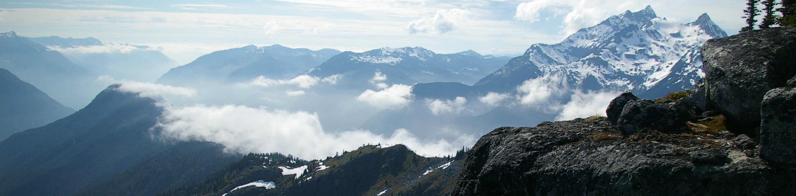
The approach to the summit of Mount Outram is a real uphill grind with a technical trail that consists largely of loose shale. Pushing on to the summit, you will have spectacular views of the surrounding area, with the opportunity to spot Johnson and Macleod Peaks to the northwest and mounts Dewdney and Ford to the southeast. When you’ve had enough of the views, head back down the Mount Outram Trail to return to your car below.
Other Amazing Hikes in Fraser Valley
Check out our guides to Lindeman Lake, Bridal Veil Falls, Cascade Falls, Elk Mountain Trail or Hicks Lake Hike. Or see all our hikes in Fraser Valley on 10Adventures.
Insider Hints
The trail is quite long, so make sure to have enough water and hiking snacks with you. Check out this article on how you can prepare some great homemade trail snacks.
Similar hikes to the Mount Outram Trail hike
Williams Peak Trail
Hiking the Williams Peak Trail is a physically demanding adventure in the Fraser Valley that climbs up a steep ridge…

Chipmunk Creek Trail
Hike along the Chipmunk Creek Trail to experience the feeling of solitude along the trail while taking in scenic views…

Flora Peak Trail
The Flora Peak Trail is an 7.1mi out-and-back hiking route that will take you through dense forests and…
Comments