
Rio de Flag South Trail
View Photos
Rio de Flag South Trail
Difficulty Rating:
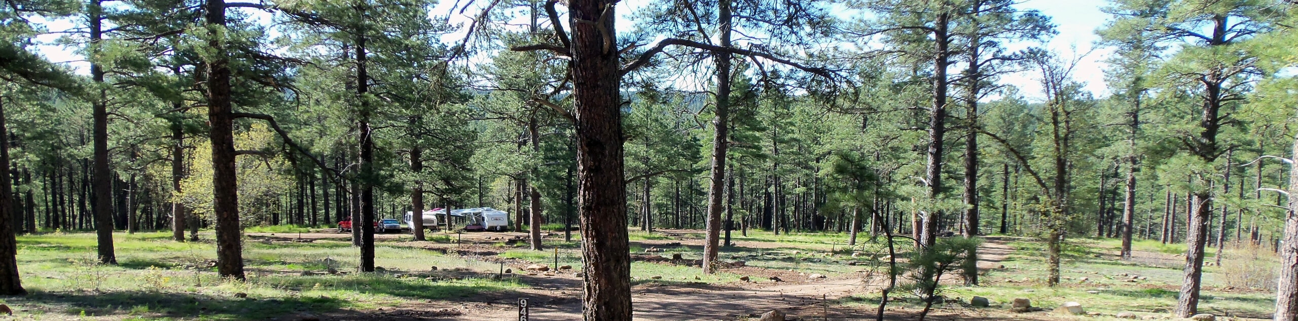
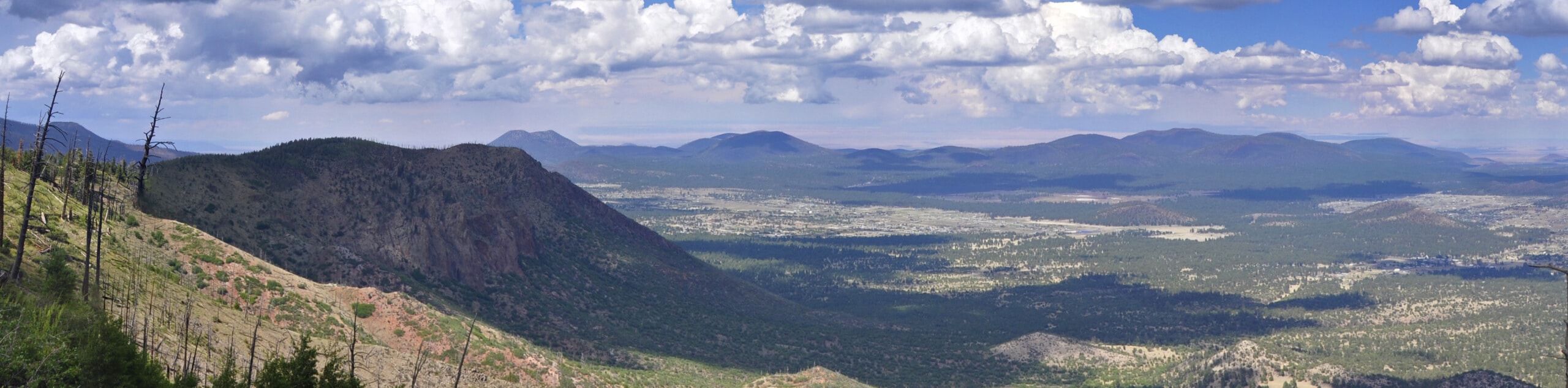
The Rio de Flag South Trail is a great option when you want some fresh air and exercise but you don’t want to have to stray too far from the city. This route is gentle and scenic, with ponds, trees, and often elk or deer to see. This is a good option for hikers, dog walkers, and joggers. While it can be too icy and snowy to enjoy in the wintertime, this is a solid pick any other season. Navigation is easy and this hike is kid and dog-friendly.
Getting there
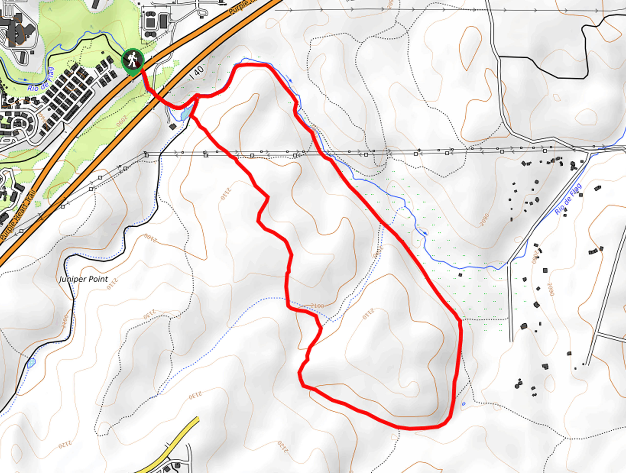
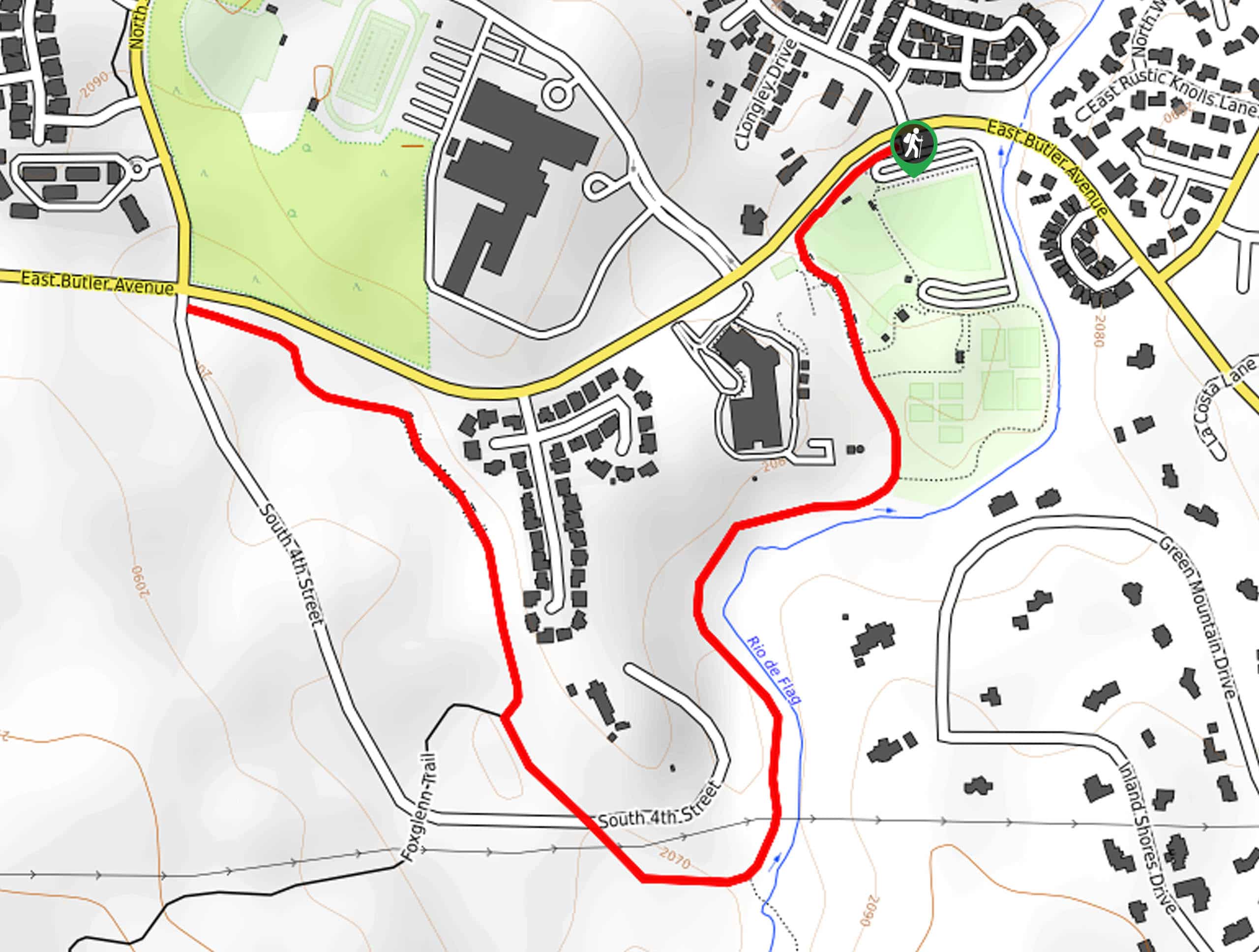
The trailhead for the Rio de Flag South Trail is near the end of E Payton Way.

About
| Backcountry Campground | No |
| When to do | March-November |
| Pets allowed | Yes |
| Family friendly | Yes |
| Route Signage | Average |
| Crowd Levels | Moderate |
| Route Type | Loop |
Rio de Flag South Trail
Elevation Graph
Weather
Rio de Flag South Trail Description
Rio De Flag South Trail is a great pick for a hike or jog on days when you don’t want to have to go too far outside the city. It’s a nice break in nature that isn’t demanding physically or navigationally, so we recommend this route for families and beginners. Dogs are welcome on this trail and it doesn’t tend to be too busy.
There is some road noise at the beginning of the hike, but it’ll fade away as you get further from the road. The hike also starts from a neighborhood, which users report begin a bit confusing, but as long as you park respectfully you don’t need to worry about leaving your car here.
From the trailhead, cross underneath the highway and go right around the pond. The trail splits just to the left of the pond, so you’ll take a right to the midpoint of the east side of the point and then go straight onto the Arizona Trail. Stay on this route until it begins to loop around at the halfway point, then take Rio de Flag Trail West back to the pond. At the pond, go back under the highway to return to the trailhead.
Similar hikes to the Rio de Flag South Trail hike
Pumphouse Nature Trail
Pumphouse Nature Trail is a short and pleasant walk in Kachina Village, Arizona. This route is only 1.1mi…
Doney Mountain Trail
Doney Mountain Trail is a short hike in the far northeastern corner of Sunset Crater Volcano National Monument. This route…
Switzer Wash Trail via Foxglenn Trail
Switzer Wash Trail via Foxglenn Trail is a short but sweet hike in Flagstaff. This 2.8mi hike begins…
Comments