Lenox Crater Trail
View Photos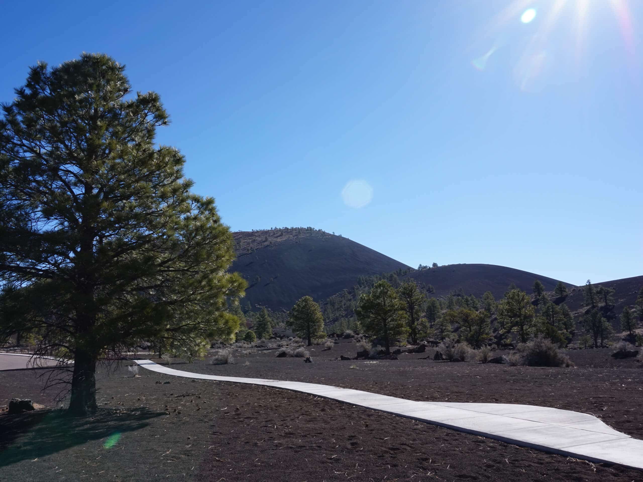
Lenox Crater Trail
Difficulty Rating:
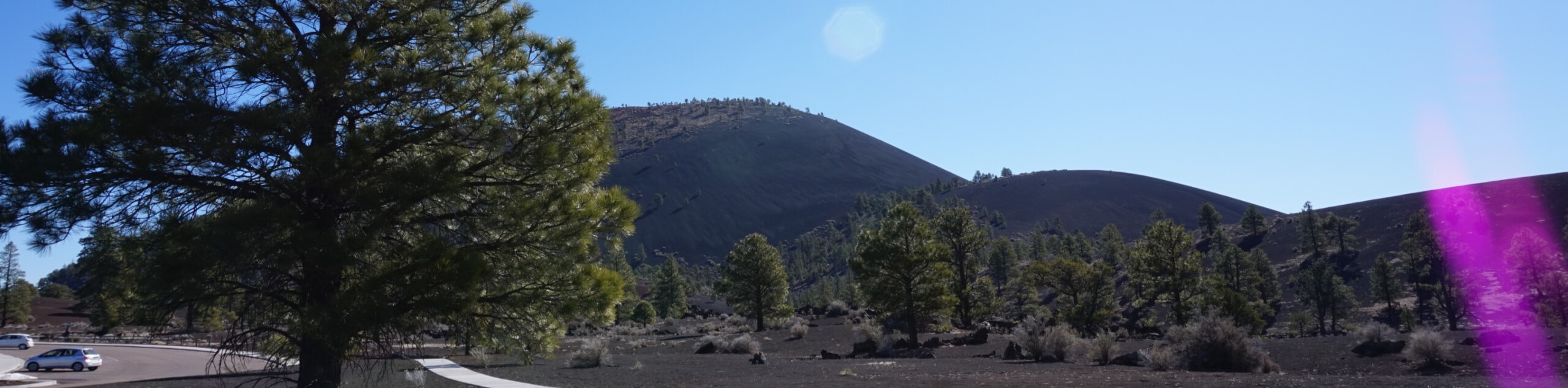
In the far corner of Sunset Crater Volcano National Monument near Flagstaff is the Lenox Crater, a glimpse at Flagstaff’s extensive volcanic history. The Lenox Crater Trail is a brief, easy hike up and around a small volcanic crater. This hike doesn’t see too many visitors, so it’s a good pick if you want to be able to avoid the crowds. Dogs are not permitted in this area.
Getting there
The trailhead for the Lenox Crater Trail is on Wupatki and Sunset Crater Loop Road.

About
| Backcountry Campground | No |
| When to do | March-November |
| Pets allowed | No |
| Family friendly | Yes |
| Route Signage | Average |
| Crowd Levels | Moderate |
| Route Type | Loop |
Lenox Crater Trail
Elevation Graph
Weather
Lenox Crater Trail Description
Northern Arizona, particularly the Flagstaff area, has an interesting volcanic past. Remnants of this past are evident in the volcanic rocks, craters, and volcanic mountains that dot the area. The Lenox Crater Trail explores one volcanic area on a route that’s easy enough for all skill levels. This route loops up and around a small volcanic crater. The landscape is unlike any other, so bring a camera!
Because of the rough nature of volcanic rock, sturdy boots are recommended. If you hike this route in the winter, consider microspikes.
The trail splits right from the start. Our route goes counterclockwise, so start to your right. It’s a fast trip up the crater, so take some time to admire the lunar landscape and the mountains visible in the distance up here before continuing off the other side. The loop ends back at the trailhead.
Similar hikes to the Lenox Crater Trail hike
Pumphouse Nature Trail
Pumphouse Nature Trail is a short and pleasant walk in Kachina Village, Arizona. This route is only 1.1mi…
Doney Mountain Trail
Doney Mountain Trail is a short hike in the far northeastern corner of Sunset Crater Volcano National Monument. This route…
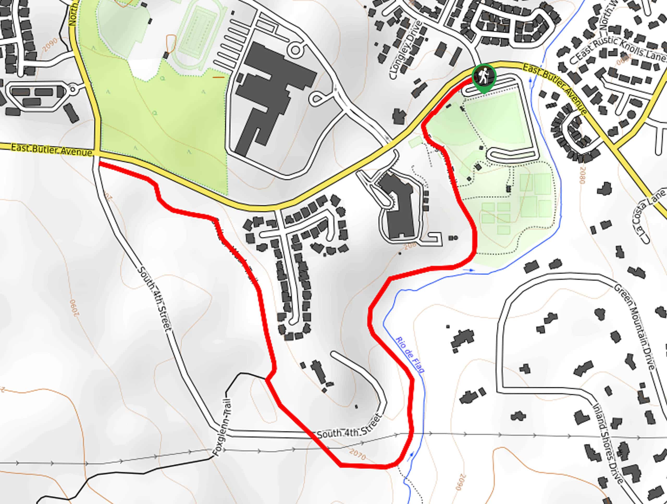
Switzer Wash Trail via Foxglenn Trail
Switzer Wash Trail via Foxglenn Trail is a short but sweet hike in Flagstaff. This 2.8mi hike begins…
Comments