Lava Flow Trail
View Photos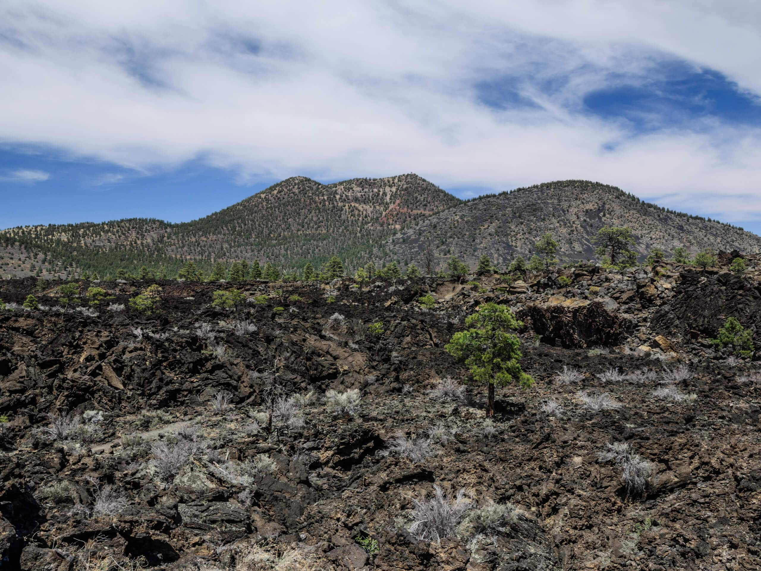
Lava Flow Trail
Difficulty Rating:
If you’re exploring the Sunset Crater Volcano National Monument, the Lava Flow Trail is a great pick for those seeking an easy, short, simple trail. See the black volcanic rock, the crater, and all the evidence of this region’s interesting volcanic past. This route is easy enough for all skill levels and ages and is straightforward to navigate. Expect heavy traffic.
Getting there
The trailhead for the Lava Flow Trail is on the Lava Flow Trail Access Road.

About
| Backcountry Campground | No |
| When to do | April-September |
| Pets allowed | No |
| Family friendly | Yes |
| Route Signage | Average |
| Crowd Levels | High |
| Route Type | Loop |
Lava Flow Trail
Elevation Graph
Weather
Lava Flow Trail Description
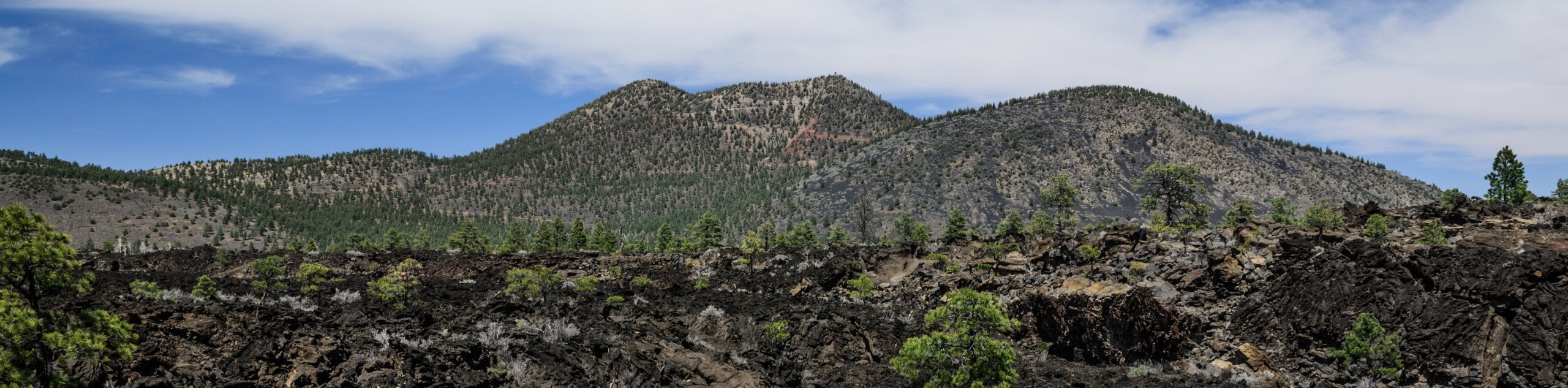
Northern Arizona, particularly the Flagstaff area, has a fascinating volcanic past. Remnants of this past are evident in the volcanic rocks, craters, and volcanic mountains that define the area. Sunset Crater Volcano National Monument is a great example of this, and the Lava Flow Trail explores this area. This route is very quick and easy, making it accessible for hikers of all ages and skill levels.
The hike starts off as a paved path departing from the trailhead parking area. There are picnic benches here in case you want to spend some time relaxing before or after your hike. A few steps into the trail, you’ll encounter a trail split. Turn right onto Long Trail and go down the stairs to the Lava Flow Trail. You’ll hike along a cinder trail dotted with pumice stones.
You’ll be able to see the evidence of a former lava flow in the black earth and volcanic rocks as you hike. The loop heads up towards the road before turning to lead you back to the trail split, where you’ll be just steps away from the trailhead.
Note: Hikers with accessibility needs can use our route guide for the Paved Lava Flow Trail.
Similar hikes to the Lava Flow Trail hike

Fay Canyon Loop
Fay Canyon is one of several main canyons in the Walnut Canyon National Monument. This loop hike explores part of…

Sandy Steps, Heart, and Upper Oldham Trail
The Sandy Steps, Heart, and Upper Oldham hike makes use of several different trails to create a hike that stretches…

Fisher Point via Fay Canyon
Fisher Point is one of the best viewpoints into the gorgeous Walnut Canyon. This route leads you to the point…
Comments