Campbell Mesa to Arizona Trail Loop
View Photos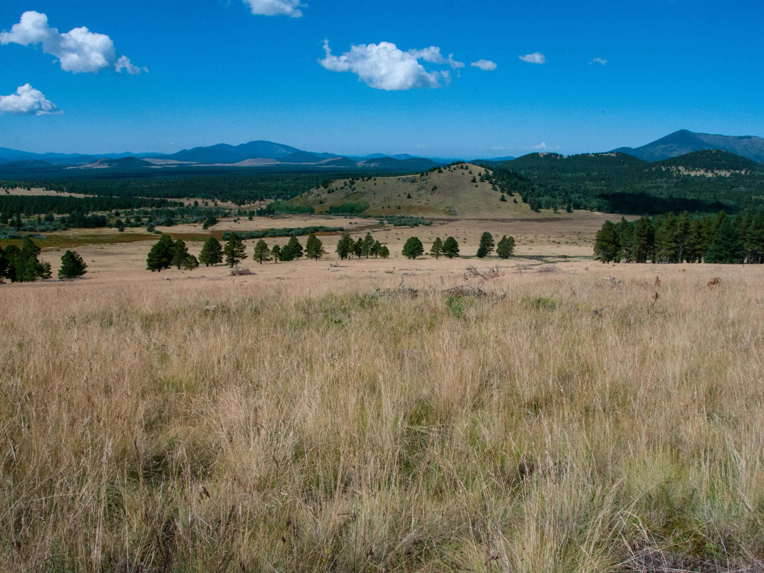
Campbell Mesa to Arizona Trail Loop
Difficulty Rating:
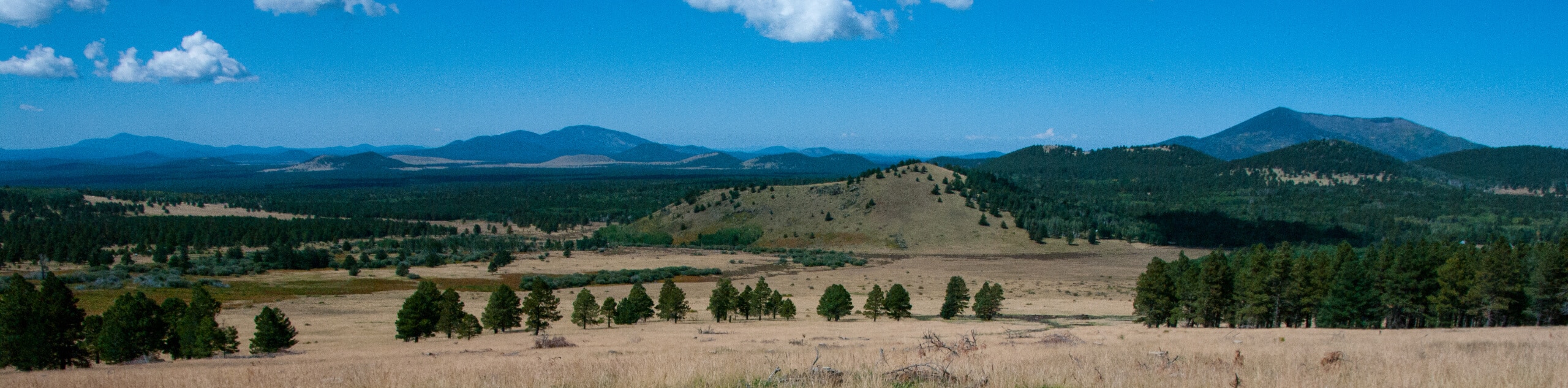
The Campbell Mesa to Arizona Trail Loop is a 14.5mi hike that adds distance to the traditional Campbell Mesa Loop. Pick this one when you want to spend all day outside. This route is easy to reach from the eastern side of Flagstaff and it provides lovely views of the pines, big wildflower blooms in summer, and wildlife. You’ll see lots of mountain bikers on this route as well.
Getting there
The trailhead for the Campbell Mesa to Arizona Trail Loop is off E Old Walnut Canyon Road.

About
| Backcountry Campground | No |
| When to do | March-November |
| Pets allowed | Yes - On Leash |
| Family friendly | Older Children only |
| Route Signage | Good |
| Crowd Levels | Moderate |
| Route Type | Loop |
Campbell Mesa to Arizona Trail Loop
Elevation Graph
Weather
Campbell Mesa to Arizona Trail Loop Description
The Campbell Mesa to Arizona Trail Loop is an expansive hiking and mountain biking trail that’s easy to reach from Flagstaff, especially the eastern side of the city. This route is lined by purple wildflowers in the summer and the view is pleasantly varied. You might be lucky enough to spot some elk on this hike.
This route is well-defined and easy to follow and the signage is good, so a downloaded GPS route isn’t a necessity. You will likely come across mountain bikers, so remember to share the trail.
From the trailhead, take Campbell Mesa Trail to the fork with FS Loop, which you’ll follow under the highway and tracks. Take a right onto AZT-Mount Elden past Tip Tank and follow the Arizona Trail back across the tracks and under the highway. Stay left onto Walnut Canyon Trail and follow this across Walnut Canyon Road and E Old Walnut Canyon Road. Stay right onto the Walnut Meadows Loop, which will lead you back to the trailhead.
Similar hikes to the Campbell Mesa to Arizona Trail Loop hike

Fay Canyon Loop
Fay Canyon is one of several main canyons in the Walnut Canyon National Monument. This loop hike explores part of…

Sandy Steps, Heart, and Upper Oldham Trail
The Sandy Steps, Heart, and Upper Oldham hike makes use of several different trails to create a hike that stretches…

Fisher Point via Fay Canyon
Fisher Point is one of the best viewpoints into the gorgeous Walnut Canyon. This route leads you to the point…
Comments