
Alfa Fia Tank Loop
View Photos
Alfa Fia Tank Loop
Difficulty Rating:
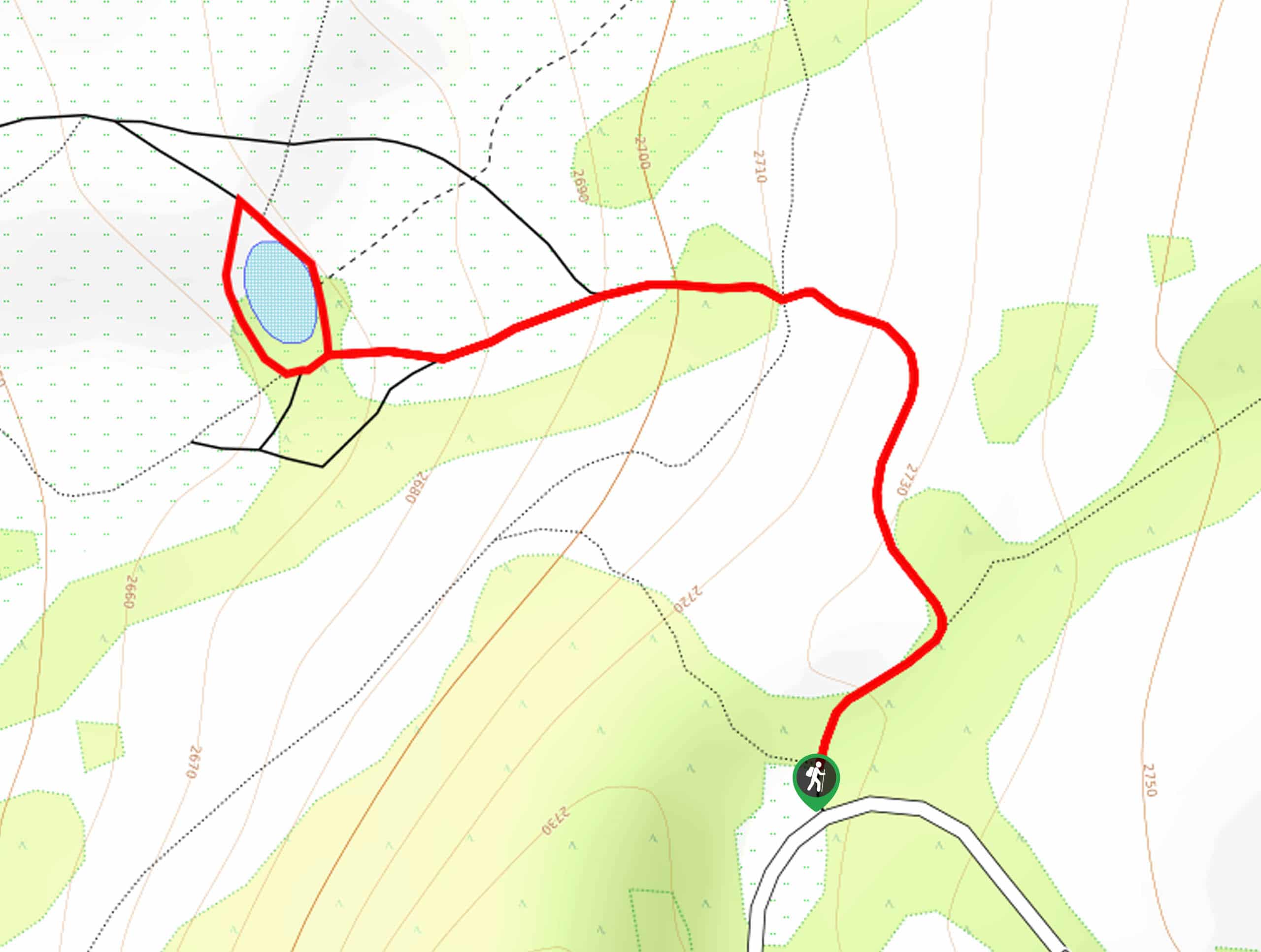
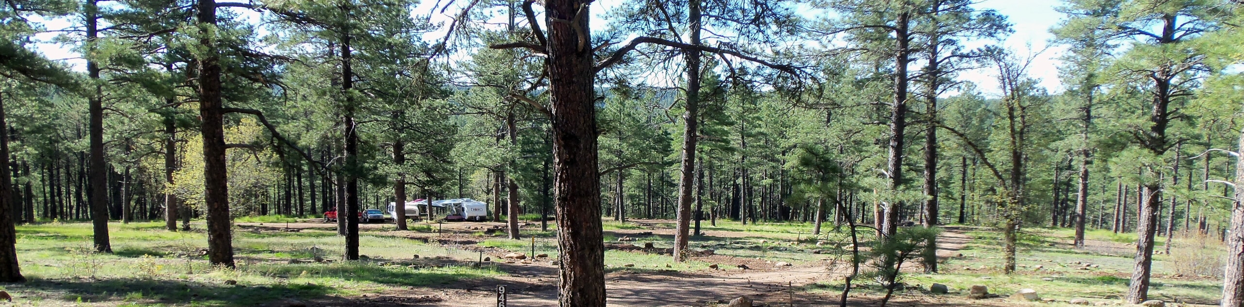
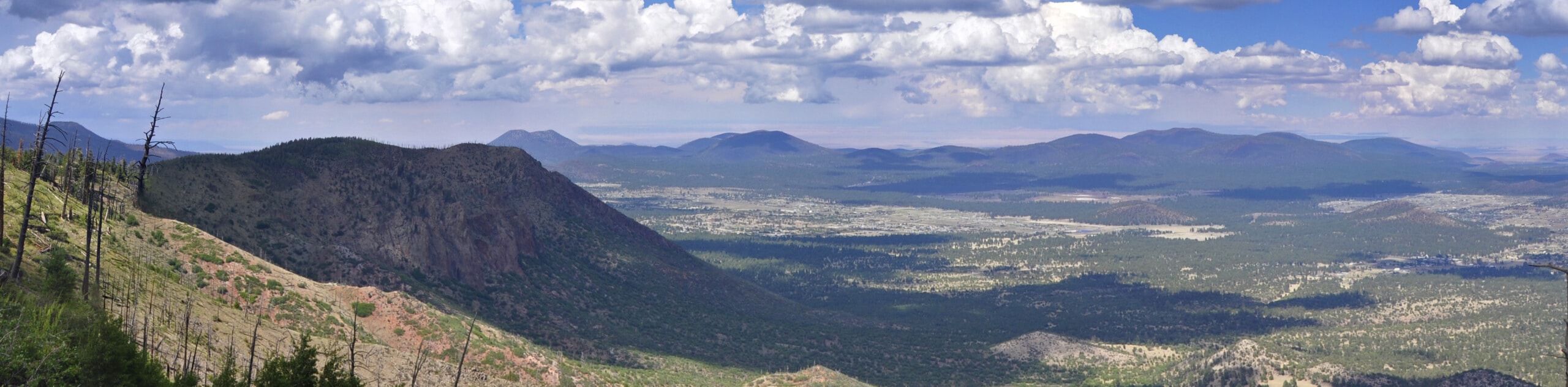
The Alfa Fia Tank Loop is a short and sweet hike near the Kachina Peaks Wilderness. This route displays a stand of aspen trees that are gorgeous in the fall when their leaves turn yellow, which is even more of a highlight than the tank, which is a small pond in the grass. With some mountain views to top it off, this is a beautiful hike in a quick, easy package. Expect moderate traffic.
Getting there
The trailhead for the Alfa Fia Tank Loop is on Snow Bowl Road.

About
| Backcountry Campground | No |
| When to do | April-October |
| Pets allowed | Yes - On Leash |
| Family friendly | Yes |
| Route Signage | Good |
| Crowd Levels | Moderate |
| Route Type | Lollipop |
Alfa Fia Tank Loop
Elevation Graph
Weather
Alfa Fia Tank Loop Description
The Alfa Fia Tank Loop is a bit of an underrated hike. It shows off a beautiful stand of aspen trees, which shimmer golden in the autumn–a sight to see! This route also offers views of the mountains of the Kachina Peaks Wilderness and the birds and animals that come to visit the pond. It’s a beautiful little hike that’s fine for all ages and skill levels.
The trail is well-maintained but has some rocky areas where you may want to watch your steps.
From the trailhead, go right and then bear left right away. Continue straight through a 4-way junction, then keep hiking straight towards the pond. Loop around the pond to see what kind of birds you might be able to spot, before returning to the trail and retracing your steps to the trailhead… Or linger a while in the aspens!
Similar hikes to the Alfa Fia Tank Loop hike
Pumphouse Nature Trail
Pumphouse Nature Trail is a short and pleasant walk in Kachina Village, Arizona. This route is only 1.1mi…
Doney Mountain Trail
Doney Mountain Trail is a short hike in the far northeastern corner of Sunset Crater Volcano National Monument. This route…
Switzer Wash Trail via Foxglenn Trail
Switzer Wash Trail via Foxglenn Trail is a short but sweet hike in Flagstaff. This 2.8mi hike begins…
Comments