Buttermilk Mountain Trail
View Photos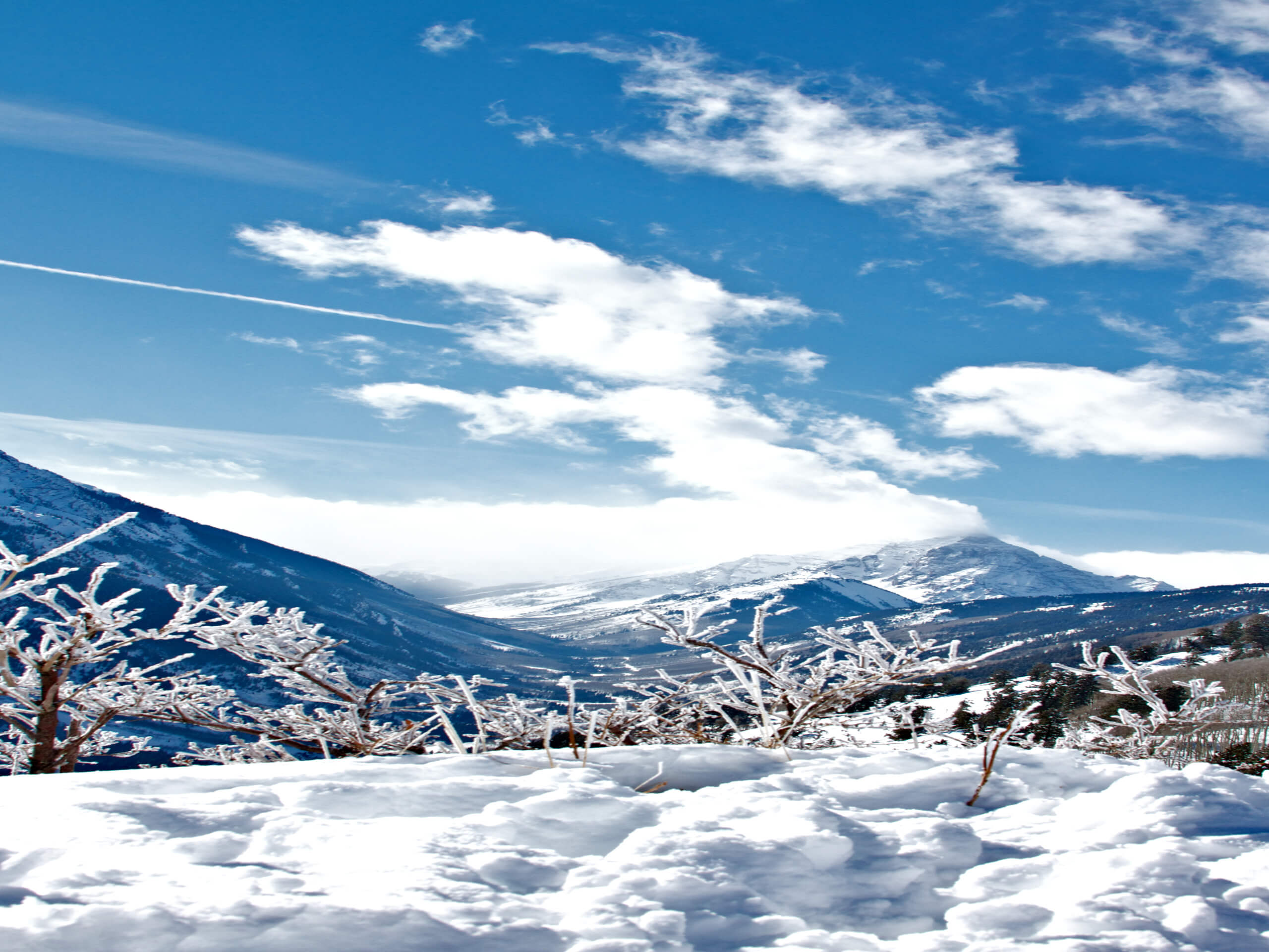
Buttermilk Mountain Trail
Difficulty Rating:
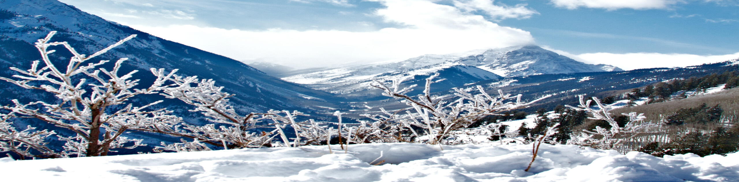
The Buttermilk Mountain Trail is a fun hiking route in Aspen that will lead you up a ski hill for some beautiful views of the surrounding area. While out on the trail, you will navigate the winding paths that meander through the trees and lead up to the top of Buttermilk Mountain, where you will enjoy some lovely views overlooking Aspen. This may not be the most challenging route in the area, but it is a straightforward adventure with some great scenery as a reward.
Getting there
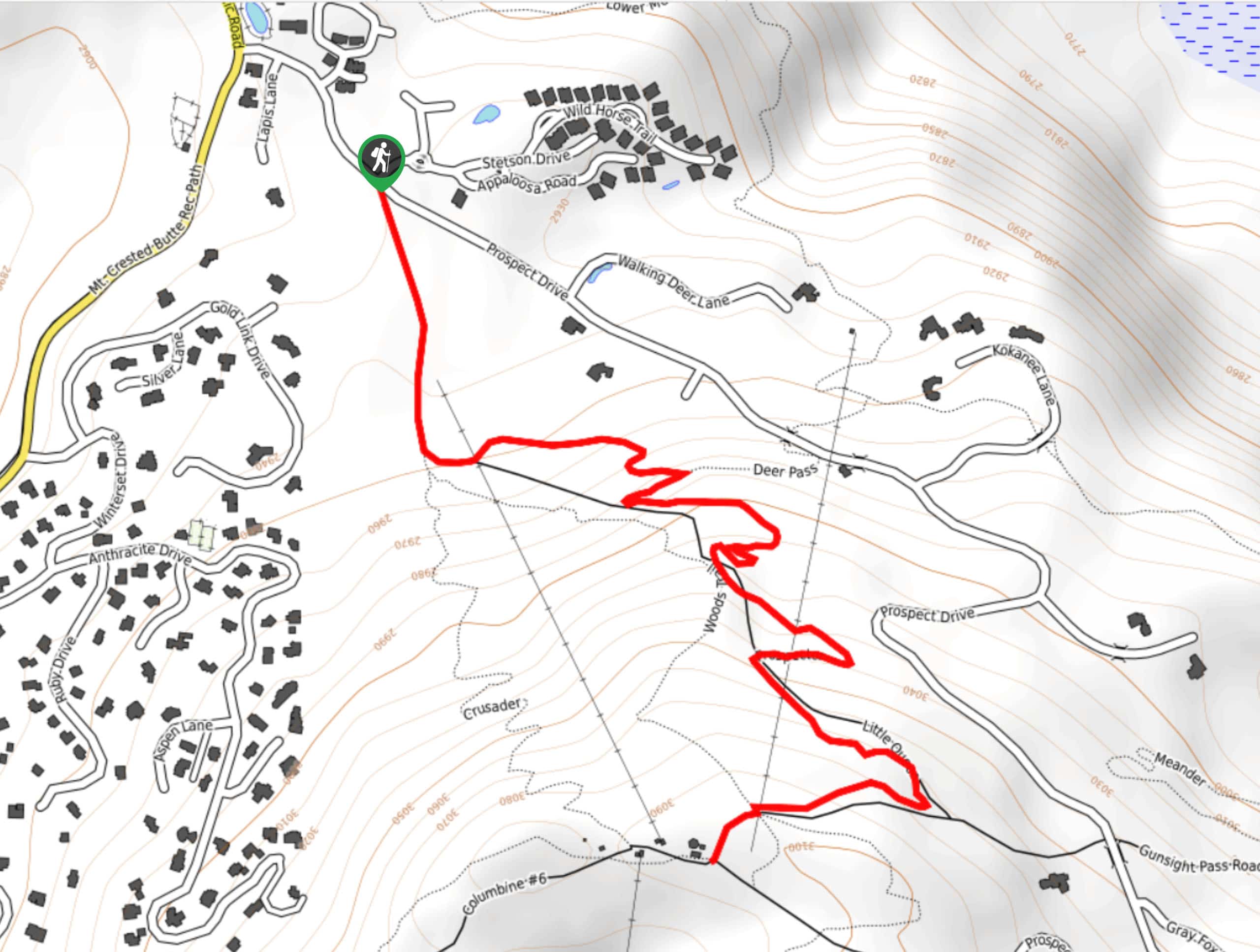
The trailhead for the Buttermilk Mountain Trail can be found at the Tiehack Mountain parking lot.

About
| Backcountry Campground | No |
| When to do | Year-Round |
| Pets allowed | Yes |
| Family friendly | Older Children only |
| Route Signage | Average |
| Crowd Levels | Moderate |
| Route Type | Lollipop |
Buttermilk Mountain Trail
Elevation Graph
Weather
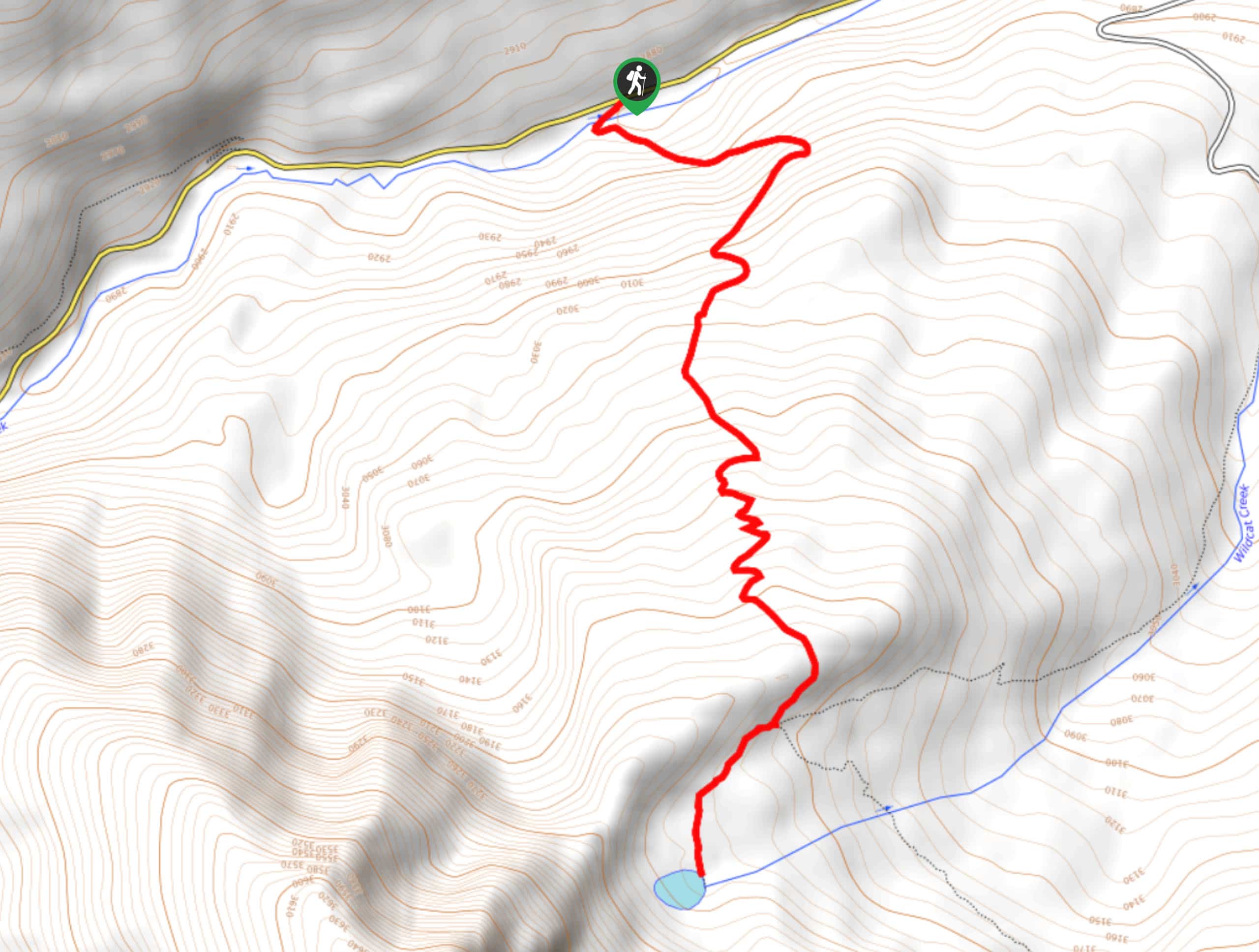
Buttermilk Mountain Trail Description
If you are looking for an easy to navigate route in Aspen that features scenic views and terrain that isn’t overly challenging, then the Buttermilk Mountain Trail will be a great option. The route mostly utilizes service roads and ski runs, meaning that you will be able to reach the summit in a safe and relatively easy manner.
Setting out from the parking lot, you will head northwest along the access road and pass by the bottom of the ski run on your left. After looping through the forest, the road will turn to the southwest and begin snaking up the mountainside. There isn’t much cover from the sun here, so be sure to wear plenty of sunscreen.
After reaching the summit of Buttermilk Mountain, you will enjoy some wonderfully scenic views overlooking Aspen and the surrounding mountains. Once you have taken in the views, you will descend the mountain to the northeast, carefully winding down the access road until you arrive back at the car park where you began your adventure.
Similar hikes to the Buttermilk Mountain Trail hike
Prospector Trail
The Prospector Trail is a fun hiking adventure near Crested Butte, Colorado that will take you uphill for beautiful views…
Lily Lake Trail #639
The Lily Lake Trail #639 is an easy-going hiking route in the Elk Mountains of Colorado that will lead you…
Green Lake via Carbon Trail
The Green Lake via Carbon Trail is an amazing experience in Crested Butte, Colorado that will take you to a…
Comments