William Hawrelak Park Riverside trail
View Photos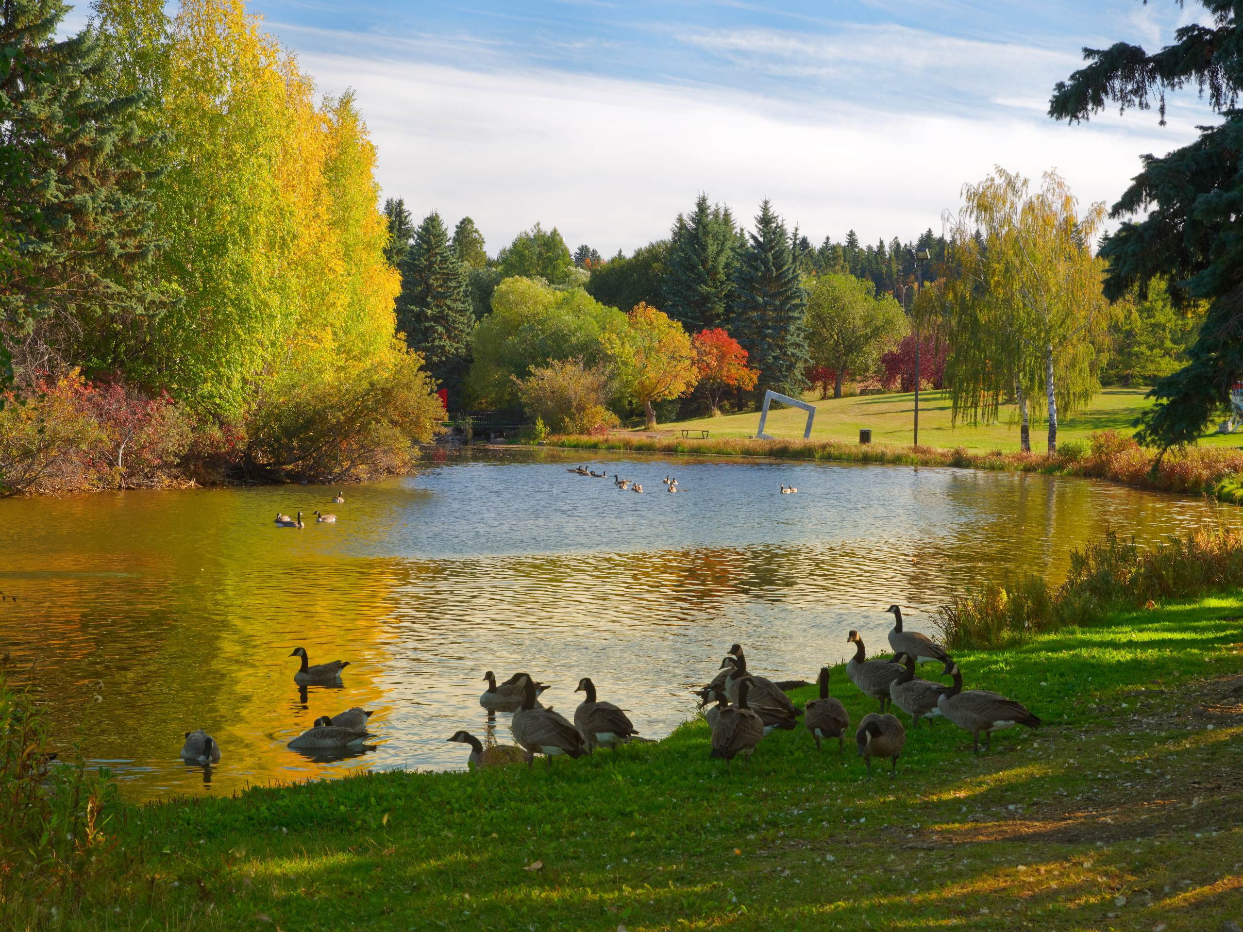
William Hawrelak Park Riverside trail
Difficulty Rating:
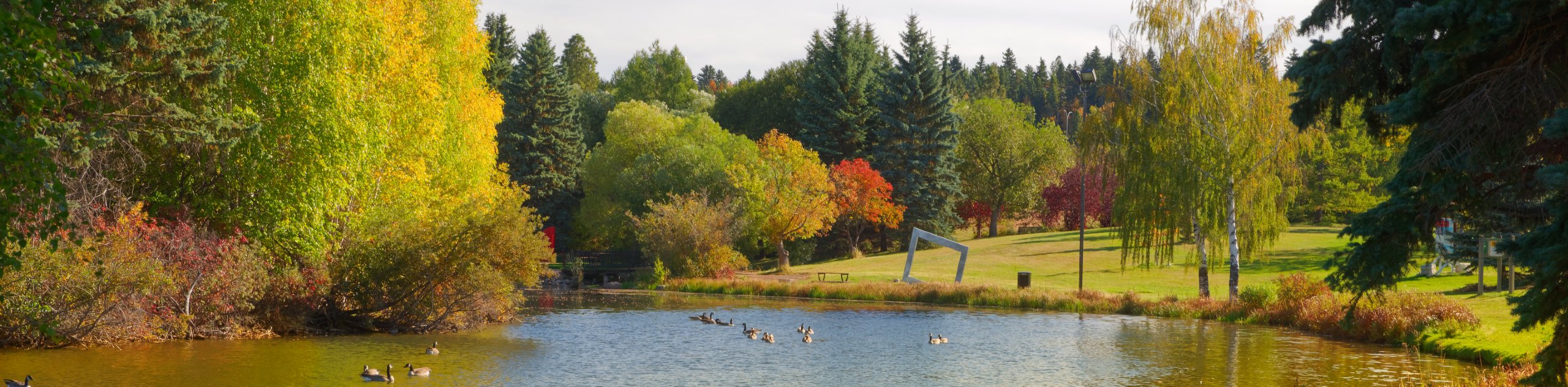
Spending a few hours exploring Edmonton’s south central green space on the William Hawrelak Park Riverside Trail is a great way to take in some nature in the city. The trail travels alongside the North Saskatchewan River and through the park that is popular for picnicking, golf, events, and other recreational activities. The park is open year-round and the trail is easy to complete even in the brisk winter months.
Getting there
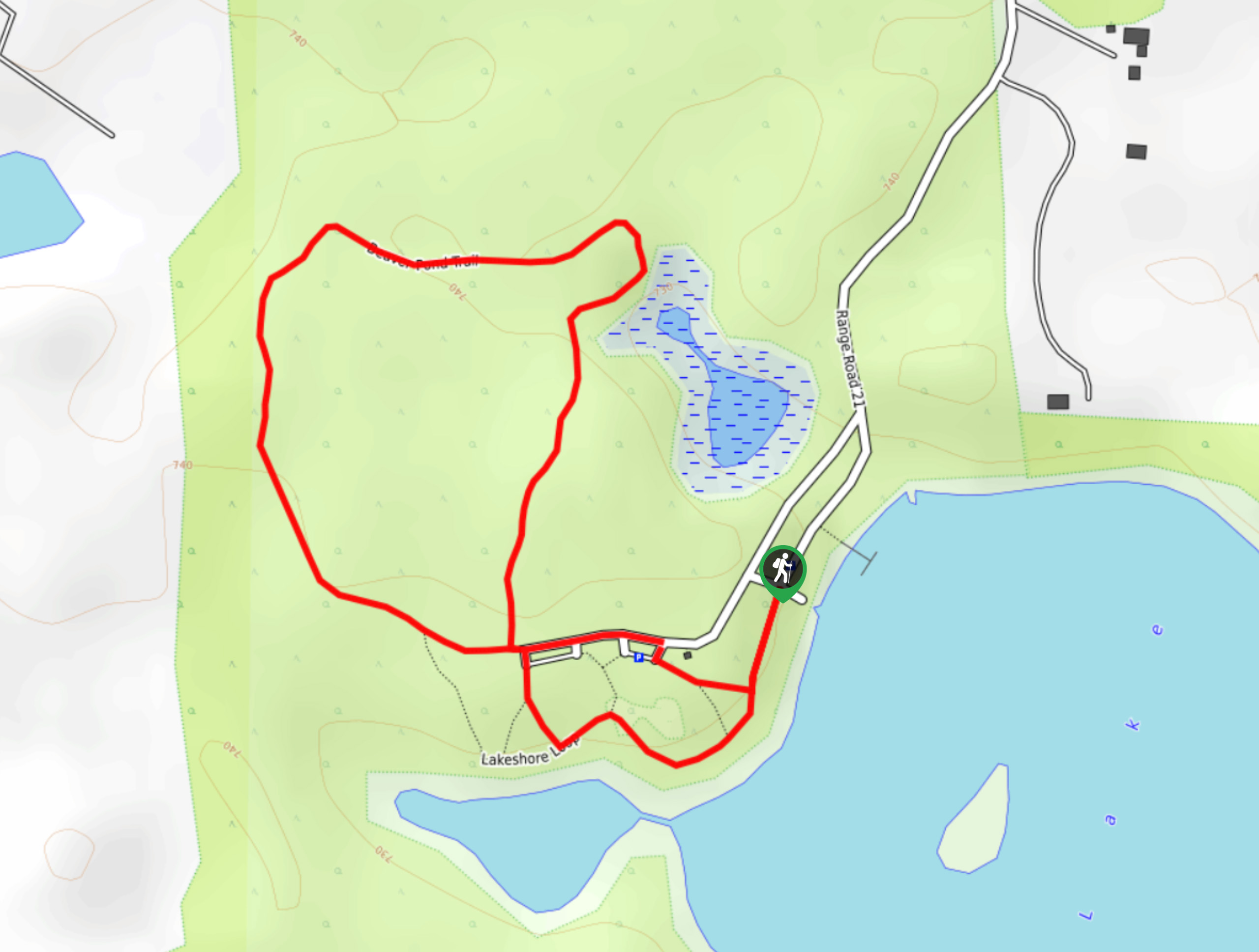
To get to the William Hawrelak Park Riverside Trail, make your way south from downtown Edmonton to the south central area. There are many ways to get to the park; however, you will need to cross the river from the north side to get to the south end of the city. Use either 109 St or Groat St to cross the river. If you take Groat Bridge, head south and take a right, merging onto William Hawrelak Park Road NW. From 109 St NW, cross the bridge and turn right onto 87 Ave NW, right again onto 110 St NW, merging to Saskatchewan Dr NW. This becomes Emily Murphy Park Rd NW, which merges to William Hawrelak Park Road NW. The one way route through the park travels in a counterclockwise direction, and our hiking route begins at picnic site #2 where you can park to begin the trail.

About
| When to do | Year-Round |
| Backcountry Campsites | No |
| Pets allowed | Yes - On Leash |
| Family friendly | Yes |
| Route Signage | Average |
| Crowd Levels | High |
| Route Type | Circuit |
William Hawrelak Park Riverside trail
Elevation Graph
Weather
William Hawrelak Park Riverside Trail Description
Hiking the William Hawrelak Park Riverside Trail is a great way to see the river running through the city, enjoy some time outside, and check out some of the city’s attractions. There are many picnic areas here and a popular golf course, which makes this a very busy area.
Other than the heavily trafficked areas in this recreation space, there is a lot to explore. Once you leave the main picnic areas, you’ll be able to find more solitude. The park is easily accessed by bike paths and can be connected to other areas of the city. Close to the University, this park is near many unique and trendy neighborhoods in the city.
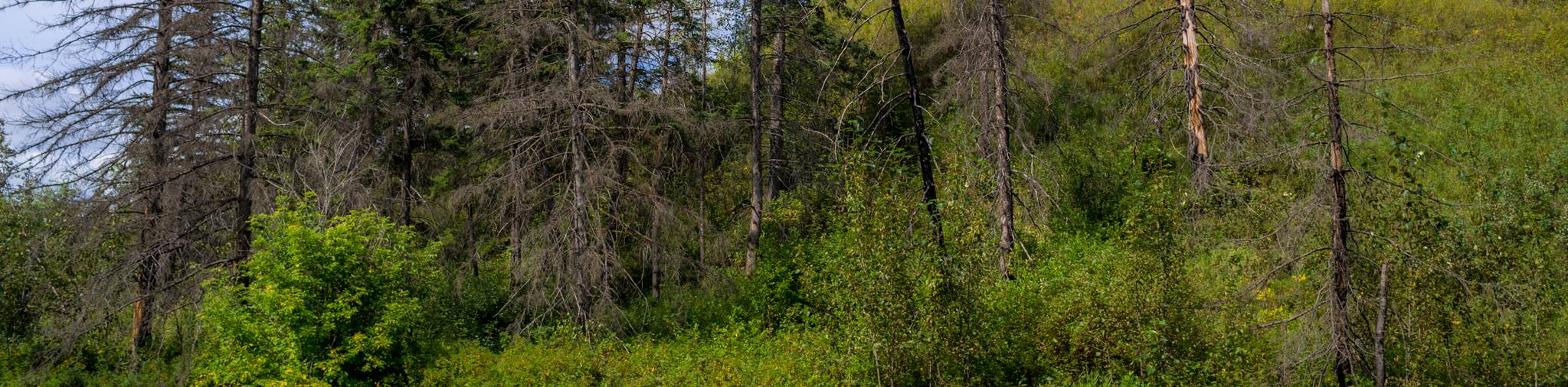
From the parking area at picnic site #2, head south for 328ft to join the trail on the right. You’ll be hiking the route in a clockwise direction from the south end. The trail passes by lots of benches with excellent viewpoints over the river, so feel free to stop and enjoy the scenery as you go. Despite being a riverside trail, there are sections ahead that pass through groves of trees, making the trail seem remote and secluded.
The Royal Mayfair Golf Course occupies the northern half of the park space, so there won’t be a lot of action as you walk along the quiet river trail here. Only other hikers and recreationalists will be passing by. After 1.7mi, cross under the Groat Bridge and continue on the trail. In 1640ft, take the trail to the right at the junction heading towards the golf course section of the park. Take the trail to the left once you reach the park and continue hiking south towards the park entrance.
After crossing Hawrelak Park Loop, take the trail to the right. This will lead you through the main day use area of the park where you can find all the amenities, playgrounds, and picnic sites on the way back to your vehicle.
Insider Hints
Head over to Picnic Site 5 on Hawrelak Lake to explore the incredible public pavilion used for events. There is boat access and excellent views here
Grab a bite at Culina on the Lake while in the park for great grab-and-go items
Similar hikes to the William Hawrelak Park Riverside trail hike
Kennedale Ravine Trail
Kennedale Ravine is an out-and-back trail surrounded by development; however, it often doesn’t feel that way. It is a secluded…
Hasse Lake Trail
Hiking the Hasse Lake Trail is a fun way to get outside near Spring Lake. It is an easy trail…
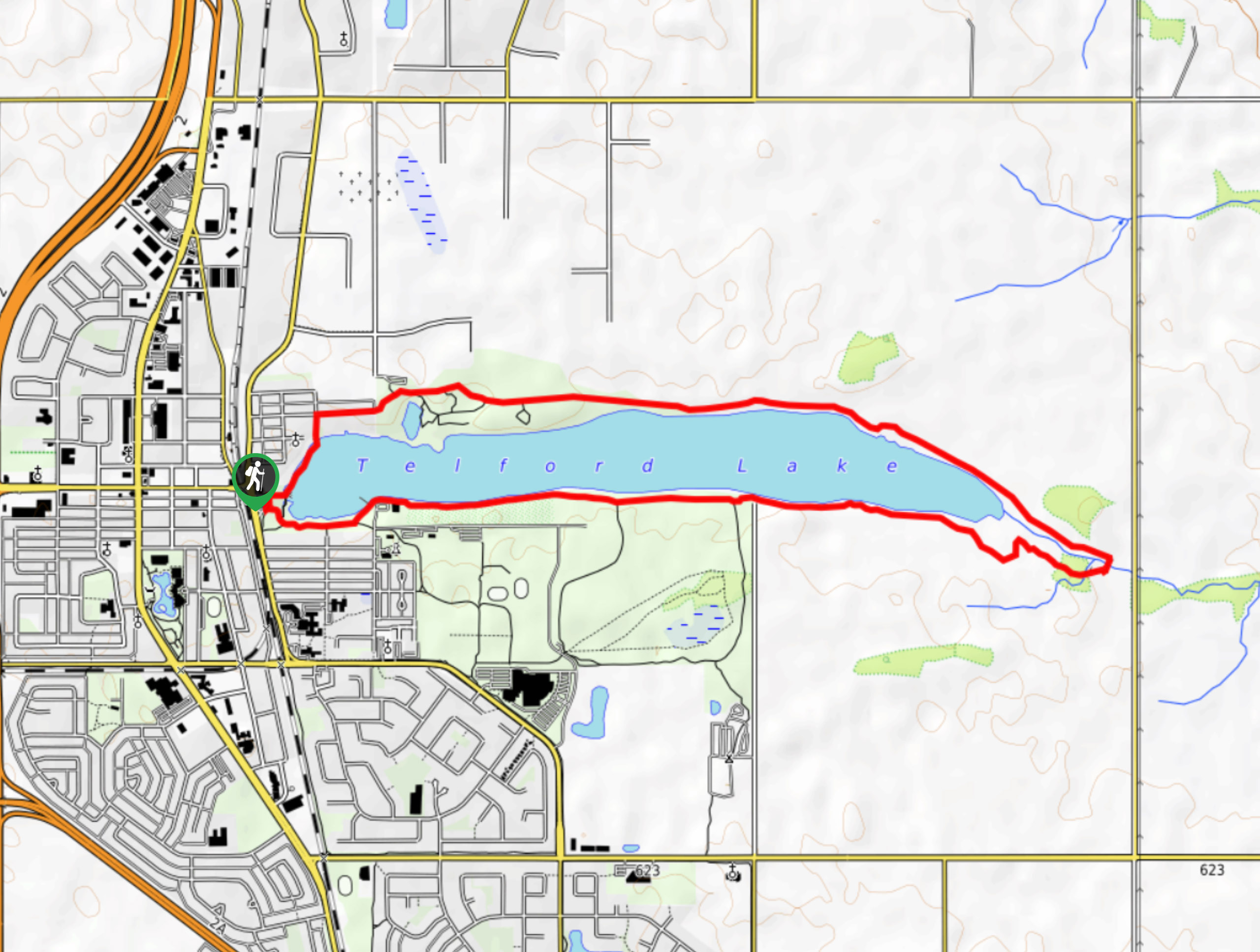
Telford Lake Multiway Trail
The Telford Lake Multiway trail is a 2-3 hour route in Leduc, Alberta. This trail is close to the Edmonton…
Comments