Whitemud Park Trail
View Photos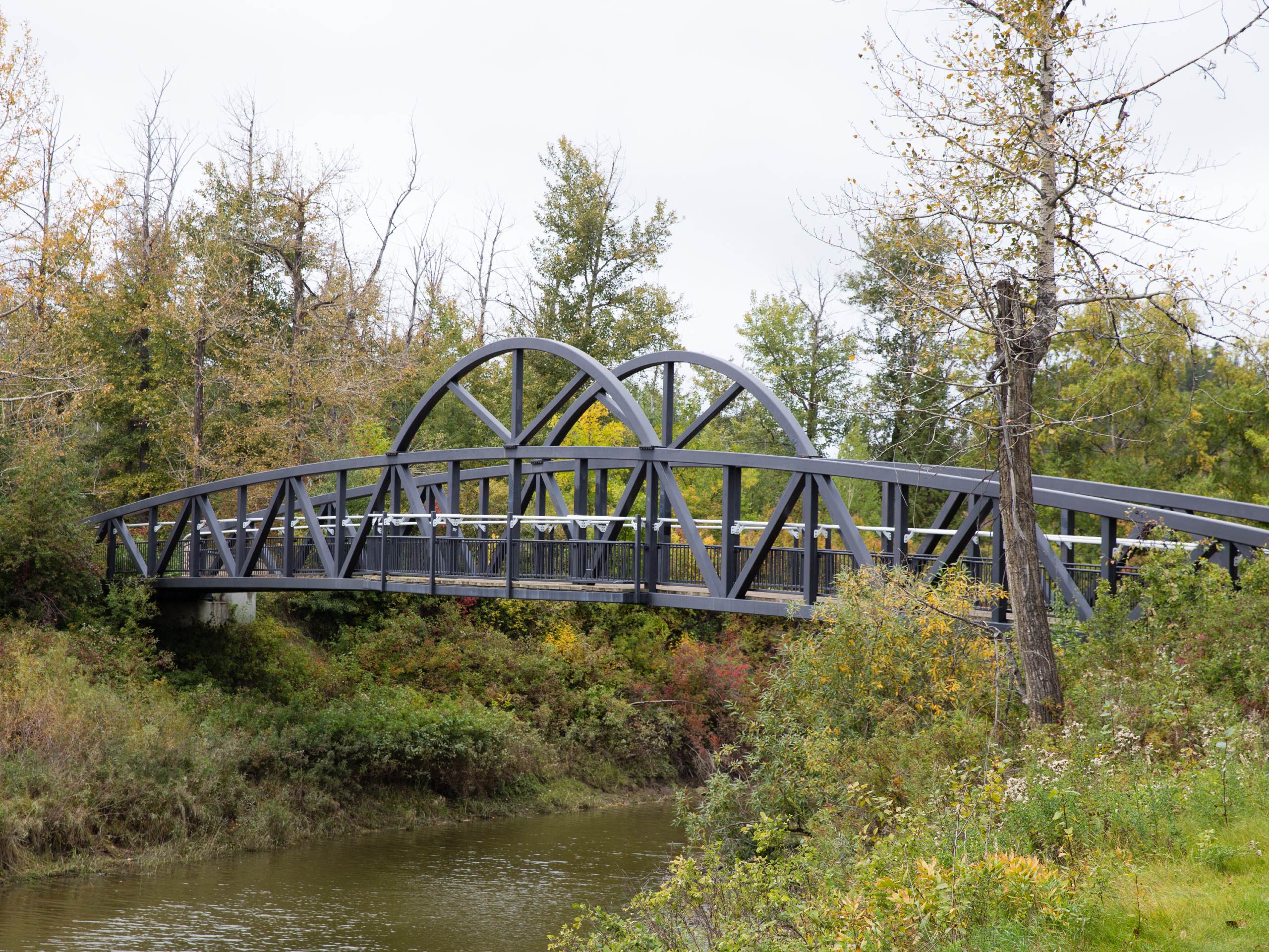
Whitemud Park Trail
Difficulty Rating:
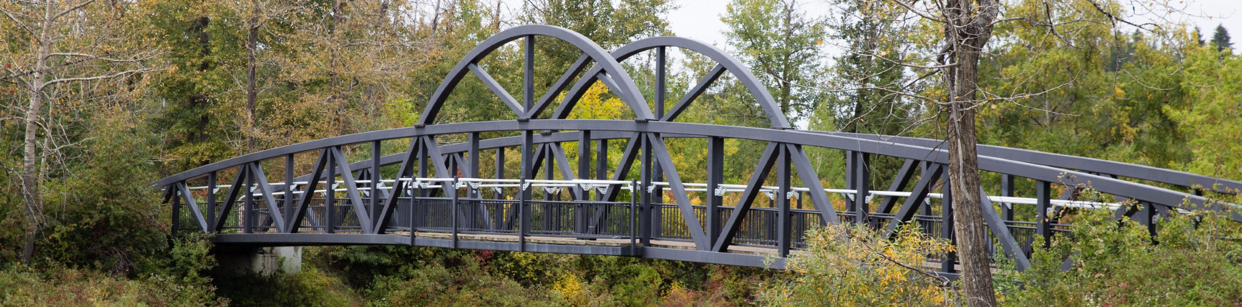
The Whitemud Park Trail is a great route in the middle of a diverse recreation area. The park itself occupies a space between a popular campground and the North Saskatchewan River making for an excellent hiking option within city limits. The trail starts just off Fox Drive and follows a lollipop route down to the Rainbow Valley Campground and back.
Getting there
To get to Whitemud Park from the city of Edmonton, make your way onto 109 St NW S from downtown. Turn right onto 72 Ave NW which becomes Belgravia Rd NW. Continue on this road until you reach Fox Drive NW E. Turn right here, and continue to your destination.

About
| When to do | Year-Round |
| Backcountry Campsites | No |
| Pets allowed | Yes - On Leash |
| Family friendly | Yes |
| Route Signage | Average |
| Crowd Levels | Moderate |
| Route Type | Lollipop |
Whitemud Park Trail
Elevation Graph
Weather
Whitemud Park Trail Description
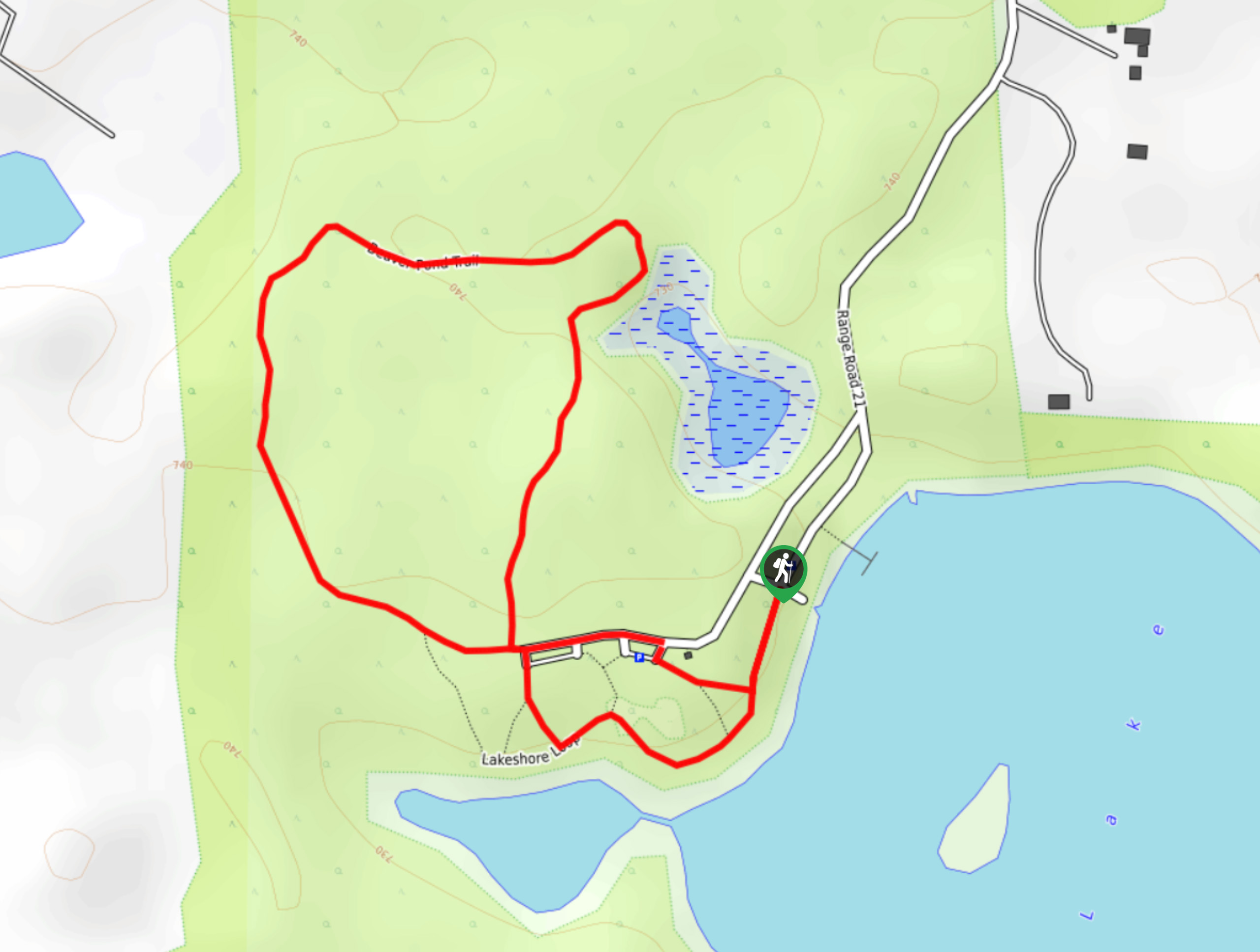
Whitemud Park Trail is situated in the middle of Whitemud Park off Fox Drive in Edmonton. The trail begins at the edge of the Whitemud Ravine, which is a great recreational nature area in the city. There are plenty of walking trails and the park is home to many educational programs related to the environment.
From the parking at the roundabout, follow signs for Whitemud Park Trail heading southbound. There are a few intersecting trails here, so watch for signs. You will cross Whitemud Creek almost immediately, where you will come to a junction. Take the trail to the left after crossing the creek, and continue southbound. The first 1km of the trail is very straightforward as it follows a single path that contours alongside the creek.
After 1km, there will be a small junction with another trail. Stay on the trail to the left, hiking on for another 984ft before reaching a series of junctions. Stay on the main trail through the first two junctions which are 328ft apart. At the third junction, you will take the trail to the right, which is the beginning of your loop on the lollipop trail. You will circle back around to this junction on your return.
984ft after you begin your loop, there is a small connector trail that is a great choice if you need to cut your trip short. This connector will create a smaller lollipop than our route shows. Another connector trail appears in 984ft, just shy of the campground. If you would like to avoid the campground, take this shortcut to complete your loop.
Staying on the main trail, continue straight and cross Whitemud Creek again, hiking towards Snow Valley Ski Club. Rainbow Valley Campground will appear on your left as you make your way along the access road here. Cross the access road and head south from the campground for a few hundred metres. Follow the path to the left, beginning the return half of the loop.
Turn left onto the trail heading north and continue here for approximately 984ft before joining a more prominent trail. Pass a junction with the connector trail and continue north for 984ft where the next connector joins the trail. In 984ft again, you will be connected with the initial junction of your loop. Make your way back to the main parking area on the out-and-back portion of the trail you hiked in on.
Insider Hints
Use one of the two connector trails to shorten your distance and avoid the popular campground at the south end
Book a night at the Rainbow Valley Campground if you are passing through the city
Similar hikes to the Whitemud Park Trail hike
Kennedale Ravine Trail
Kennedale Ravine is an out-and-back trail surrounded by development; however, it often doesn’t feel that way. It is a secluded…
Hasse Lake Trail
Hiking the Hasse Lake Trail is a fun way to get outside near Spring Lake. It is an easy trail…
Telford Lake Multiway Trail
The Telford Lake Multiway trail is a 2-3 hour route in Leduc, Alberta. This trail is close to the Edmonton…
Comments