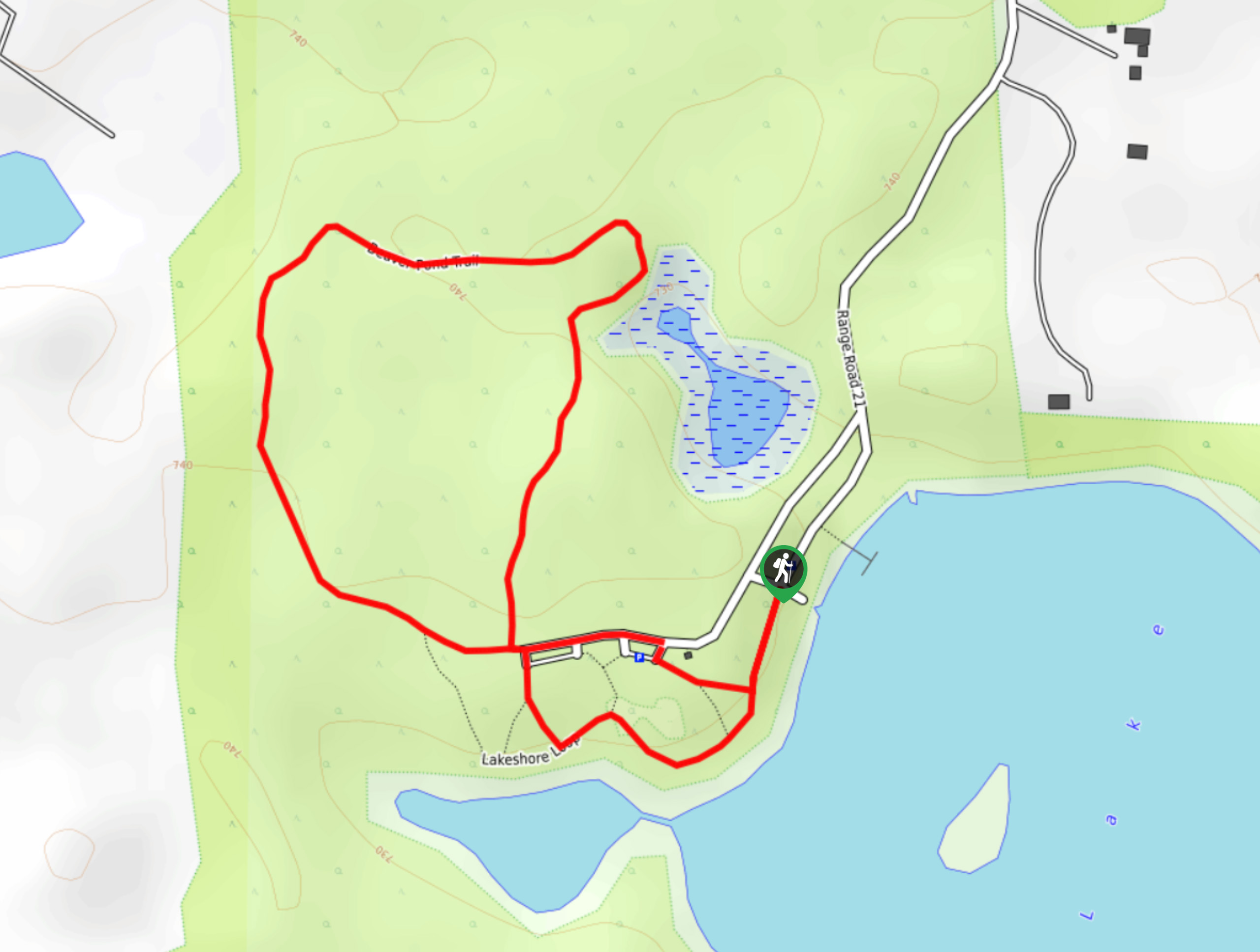
Kennedale Ravine Trail
View Photos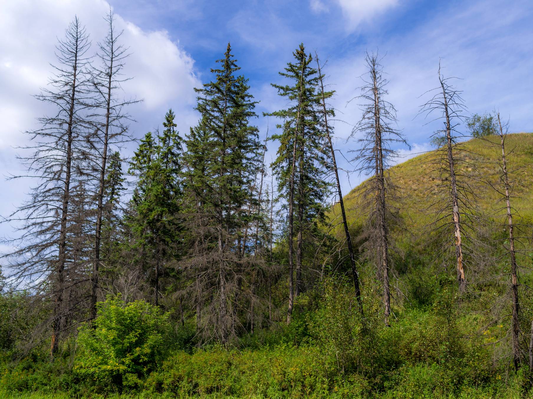
Kennedale Ravine Trail
Difficulty Rating:
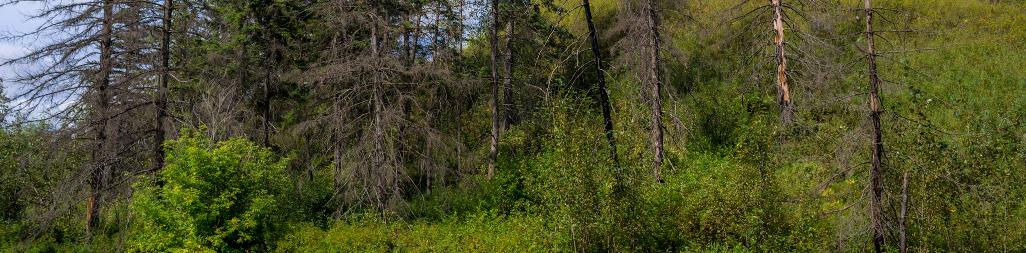
Kennedale Ravine is an out-and-back trail surrounded by development; however, it often doesn’t feel that way. It is a secluded and forested trail that is full of greenery. The dirt path is well-maintained and features plenty of forest feels as you pass through. It can be accessed from many places, making it possible to be completed as a one-way trip.
Getting there
To get to the main Kennedale Ravine trailhead, follow AB-15 northbound, taking the exit for Hermitage Road NW. Stay right, merging onto Hermitage, and take a left onto Habitat Crescent NW. The Kennedale Ravine trailhead is on your right.

About
| When to do | Year Round |
| Backcountry Campsites | No |
| Pets allowed | Yes |
| Family friendly | Yes |
| Route Signage | Average |
| Crowd Levels | Moderate |
| Route Type | Out and back |
Kennedale Ravine Trail
Elevation Graph
Weather
Kennedale Ravine Trail Description
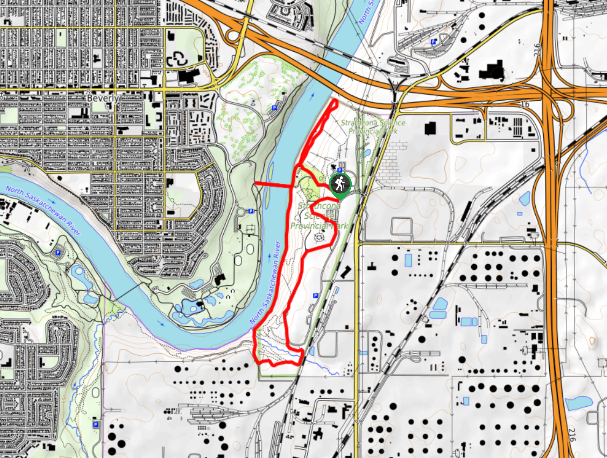
The Kennedale Ravine Trail is a great option for those who find themselves in the Hermitage area. It is a forested trail that travels towards the river and back. There are many intersecting trail systems on the east end of this route if you would like to extend your trip, or even make a one-way route stopping at the river.
Despite surrounding developments and city neighborhoods, this route is surprisingly secluded. It feels like a true escape from the city. From the parking lot, follow the signs for the obvious trail. Continue until you reach the trail system at 2.0mi and turn back. You can create your own adventure here by adding distance on the surrounding trails.
Similar hikes to the Kennedale Ravine Trail hike
Hasse Lake Trail
Hiking the Hasse Lake Trail is a fun way to get outside near Spring Lake. It is an easy trail…
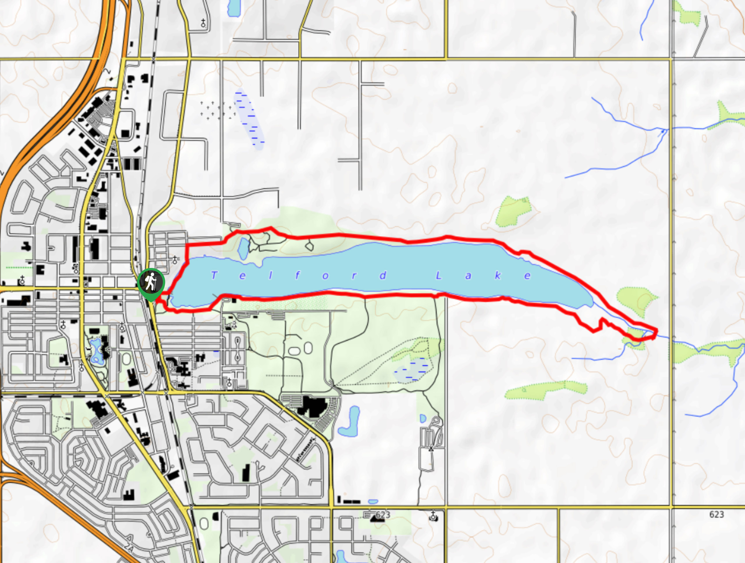
Telford Lake Multiway Trail
The Telford Lake Multiway trail is a 2-3 hour route in Leduc, Alberta. This trail is close to the Edmonton…
Strathcona Science Park Trail
The Strathcona Science Park trail is located in the North Saskatchewan River Valley next to the Sunridge Ski Area. It…
Comments