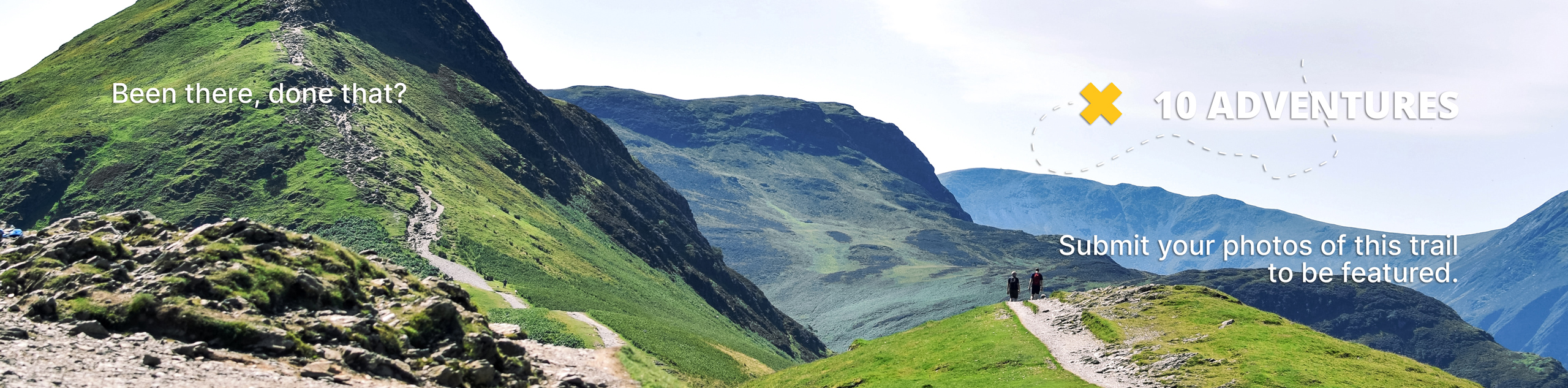
Strathcona Science Park Trail
View Photos
Strathcona Science Park Trail
Difficulty Rating:
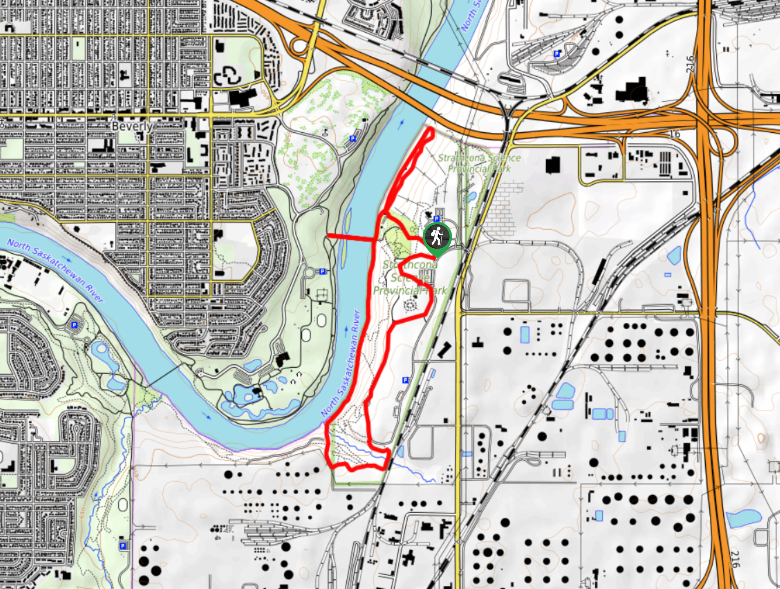
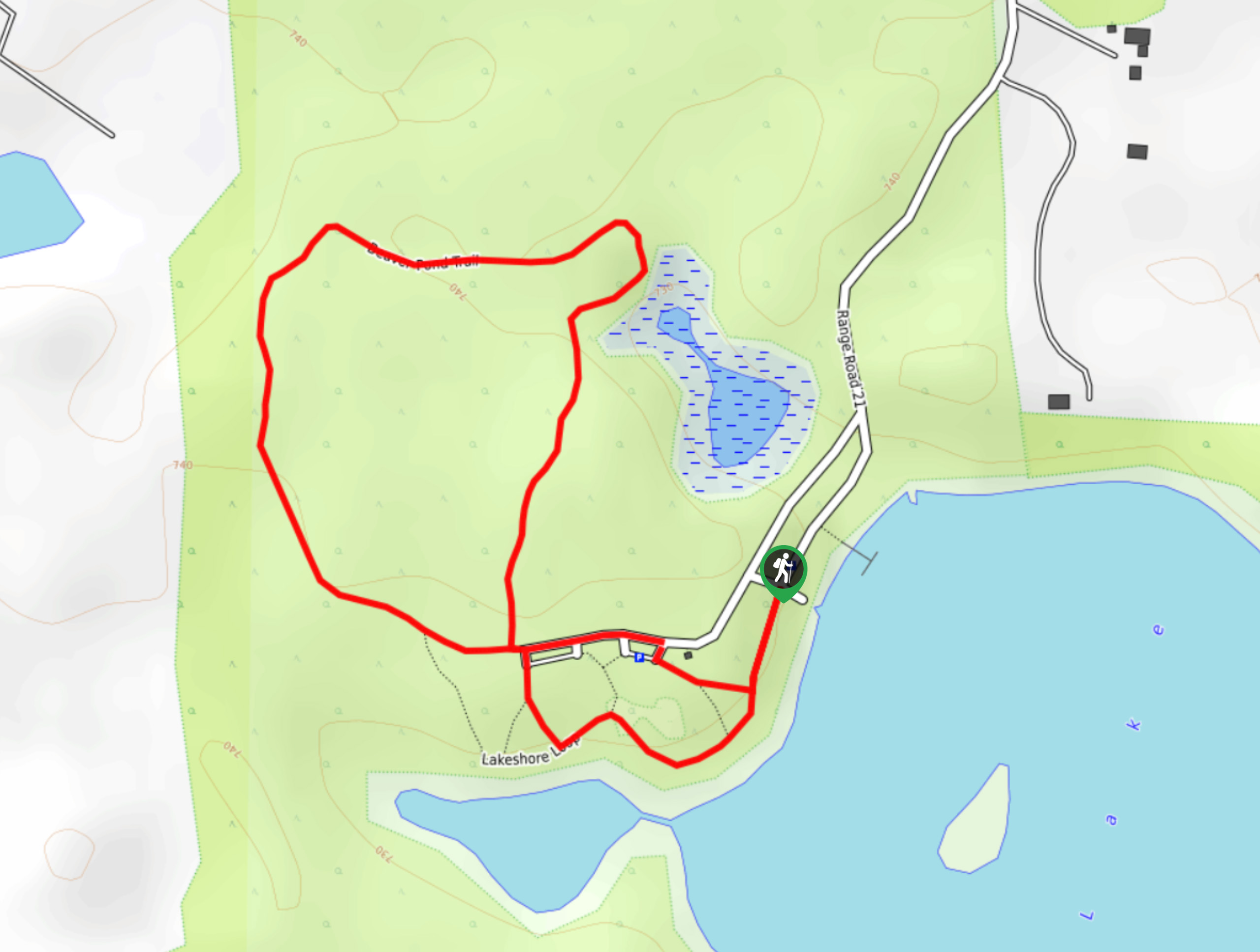
The Strathcona Science Park trail is located in the North Saskatchewan River Valley next to the Sunridge Ski Area. It is a centrepiece for tourism, education, and recreation in Edmonton. The trail passes through exhibits, crosses the north Saskatchewan River, and travels below the ski runs at the resort within the park.
Getting there
To get to the Strathcona Science Park trail, head to Sunridge Ski Area, turning into the signed area for Strathcona Science Park. There is a large parking area for the park where the trailhead begins.

About
| When to do | Year-round |
| Backcountry Campsites | No |
| Pets allowed | Yes |
| Family friendly | Yes |
| Route Signage | Average |
| Crowd Levels | Moderate |
| Route Type | Lollipop |
Strathcona Science Park Trail
Elevation Graph
Weather
Strathcona Science Park Trail Description
The 9km Strathcona Science Park Trail is an interpretive route that travels through the entire park. It is easy to follow and simple to choose your own route via connecting trails and interpretive exhibits. Our route begins by heading into the centre area that is popular with kids and skateboarders.
Our route then departs the centre area, heading south towards the archaeological site. There are some older buildings and interpretive signs along the way here. Head towards the river and up the river banks towards Sunridge Ski Area. Turn around once you reach the end of the ski runs, and take a left at the junction back to the main parking area of the Strathcona Science Park.
Similar hikes to the Strathcona Science Park Trail hike
Kennedale Ravine Trail
Kennedale Ravine is an out-and-back trail surrounded by development; however, it often doesn’t feel that way. It is a secluded…
Hasse Lake Trail
Hiking the Hasse Lake Trail is a fun way to get outside near Spring Lake. It is an easy trail…
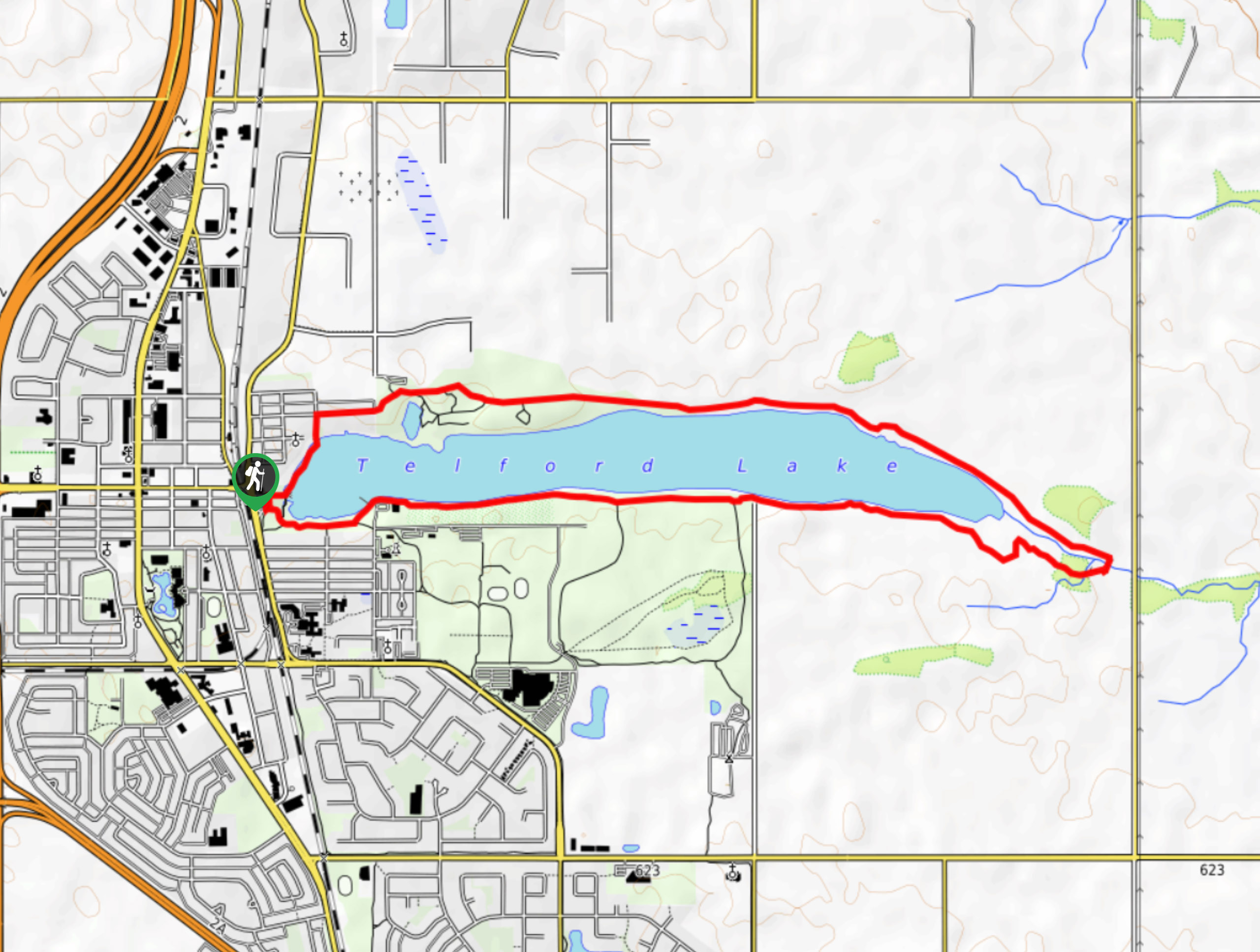
Telford Lake Multiway Trail
The Telford Lake Multiway trail is a 2-3 hour route in Leduc, Alberta. This trail is close to the Edmonton…
Comments