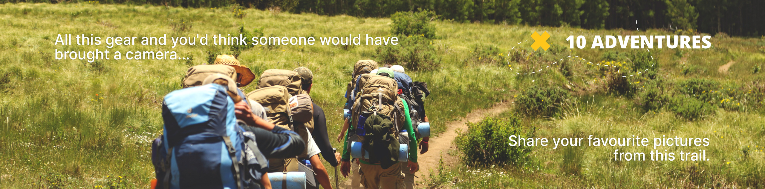
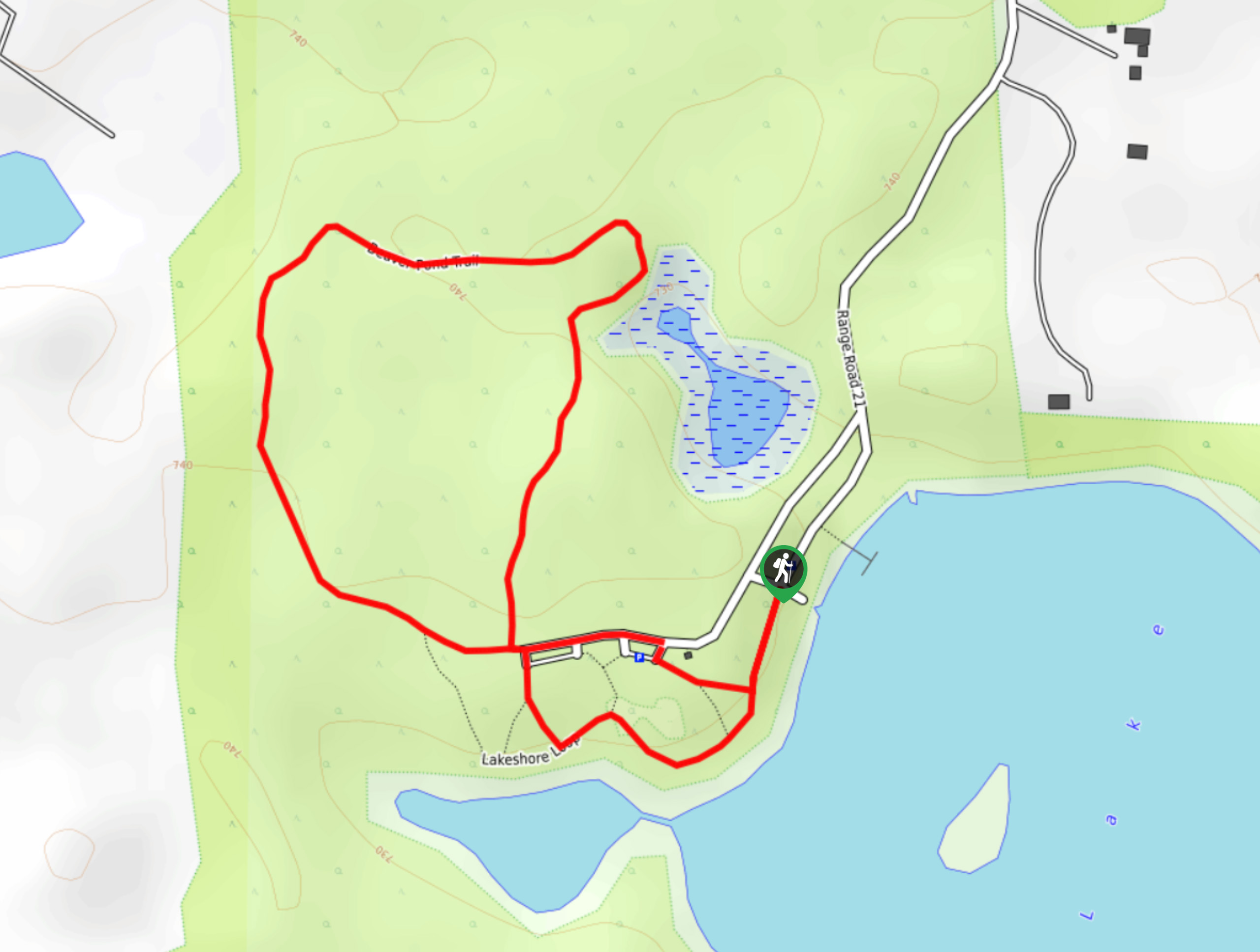
Cameron Heights Loop
View Photos
Cameron Heights Loop
Difficulty Rating:
Hiking the Cameron Heights Loop trail is a great way to spend a few hours in the city. The park is full of forested areas and clearings with great views. There are multiple starting areas and intersecting trails, which makes this a great trail to make your own. Choose your own adventure on this family-friendly trail.
Getting there
To get to Cameron Heights Loop trail, make your way onto AB-216 W from the city centre. Follow this route westbound until you reach exit 12 for Cameron Heights. Take the exit for Cameron Heights Drive and Maskekosihk Trail. Keep right, following signs for Cameron Heights Drive and merge onto Cameron Heights Dr NW. Turn onto E.L. Smith Road NW and park at the end of the road. The trail is visible from here.

About
| When to do | Year-round |
| Backcountry Campsites | No |
| Pets allowed | Yes - On Leash |
| Family friendly | Yes |
| Route Signage | Good |
| Crowd Levels | High |
| Route Type | Circuit |
Cameron Heights Loop
Elevation Graph
Weather
Cameron Heights Loop Trail Description
The Cameron Heights Loop trail is a great partially paved pathway in the Cameron Heights neighborhood. It is a great way to get some fresh air in the middle of the city; however, it isn’t a true escape. Parking can be confusing, so pull off to the edge of the road, and if there is no space here, you can find parking at the end of Chahley Way NW.
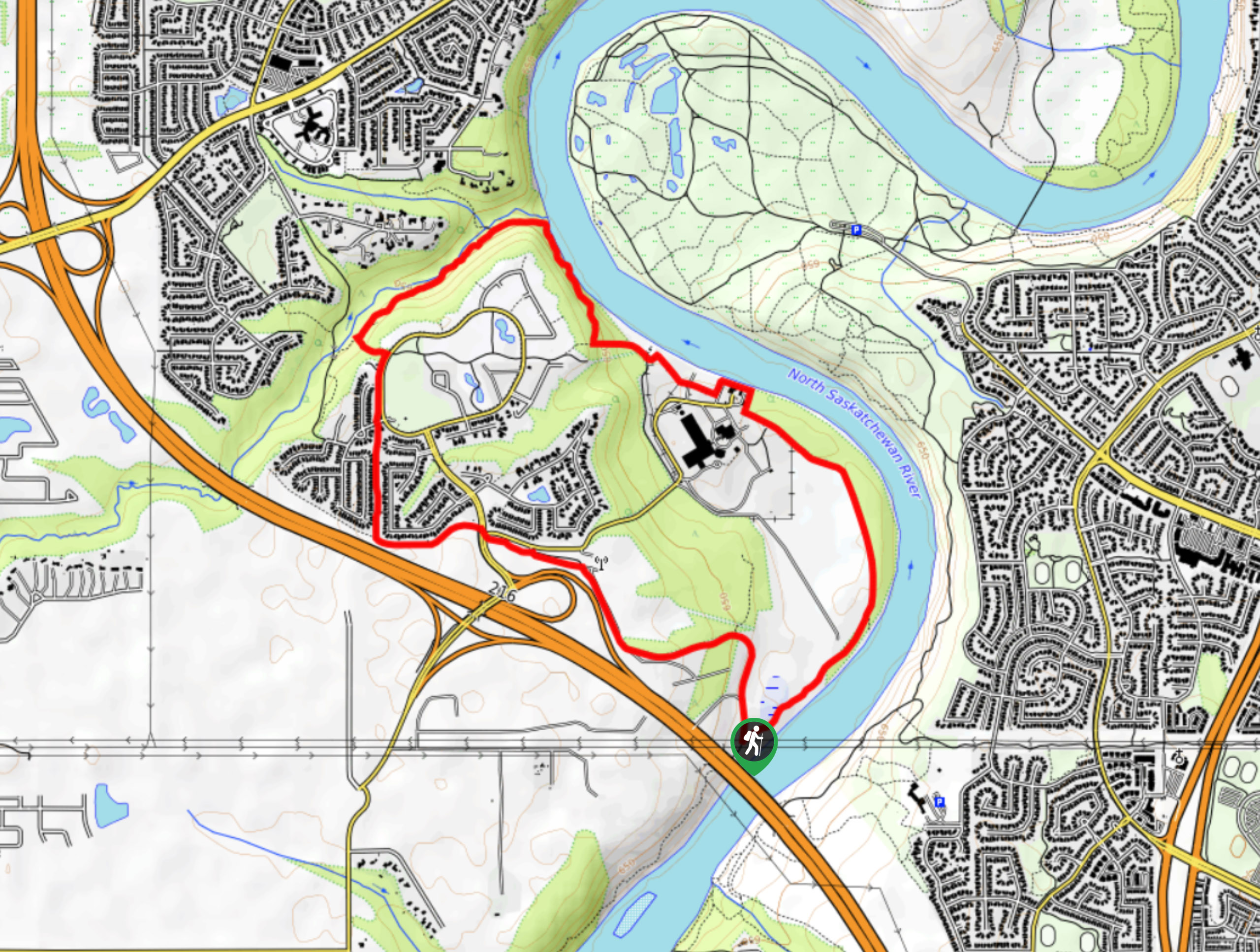
From the end of E.L. Smith Road, find the trail and begin walking in a clockwise direction. You will begin by heading left from the road in the marsh area. After 984ft, you will come across a trail to the right. Stay on the main trail here. Continue for 1640ft before crossing a road and remaining on the main trail.
In 2297ft, cross Cameron Heights Dr NW and stay on the trail. Many cyclists use this route, so watch out for traffic. Come to a junction in 1312ft and take a right. You will be on a path between the rows of houses here. Pass Chahley Way where a parking area and park are located. 984ft after crossing the road, come to a trail junction and take the middle trail. The right trail will lead you to the same destination, but on a regular street rather than the perimeter trail by the river. The trail to the left takes a longer route, and loops back around to the river as well.
Continue on the middle trail, heading east towards the river. Enjoy the easy to follow trail near the river as it winds back to the starting point .
This trail is wide enough for a stroller or chariot, and perfect for all abilities. Many visitors ride bikes on this trail, and choose to explore the neighborhood while in the area.
Trail Highlights
North Saskatchewan River
The North Saskatchewan River is visible from this trail and winds through the city of Edmonton. Its headwaters are located at the incredible Columbia Icefield, and it flows all the way to the Hudson Bay.
Insider Hints
If you can’t find parking where our route suggests, head to Chahley Road NW and park in the designated parking area.
Similar hikes to the Cameron Heights Loop hike
Kennedale Ravine Trail
Kennedale Ravine is an out-and-back trail surrounded by development; however, it often doesn’t feel that way. It is a secluded…
Hasse Lake Trail
Hiking the Hasse Lake Trail is a fun way to get outside near Spring Lake. It is an easy trail…
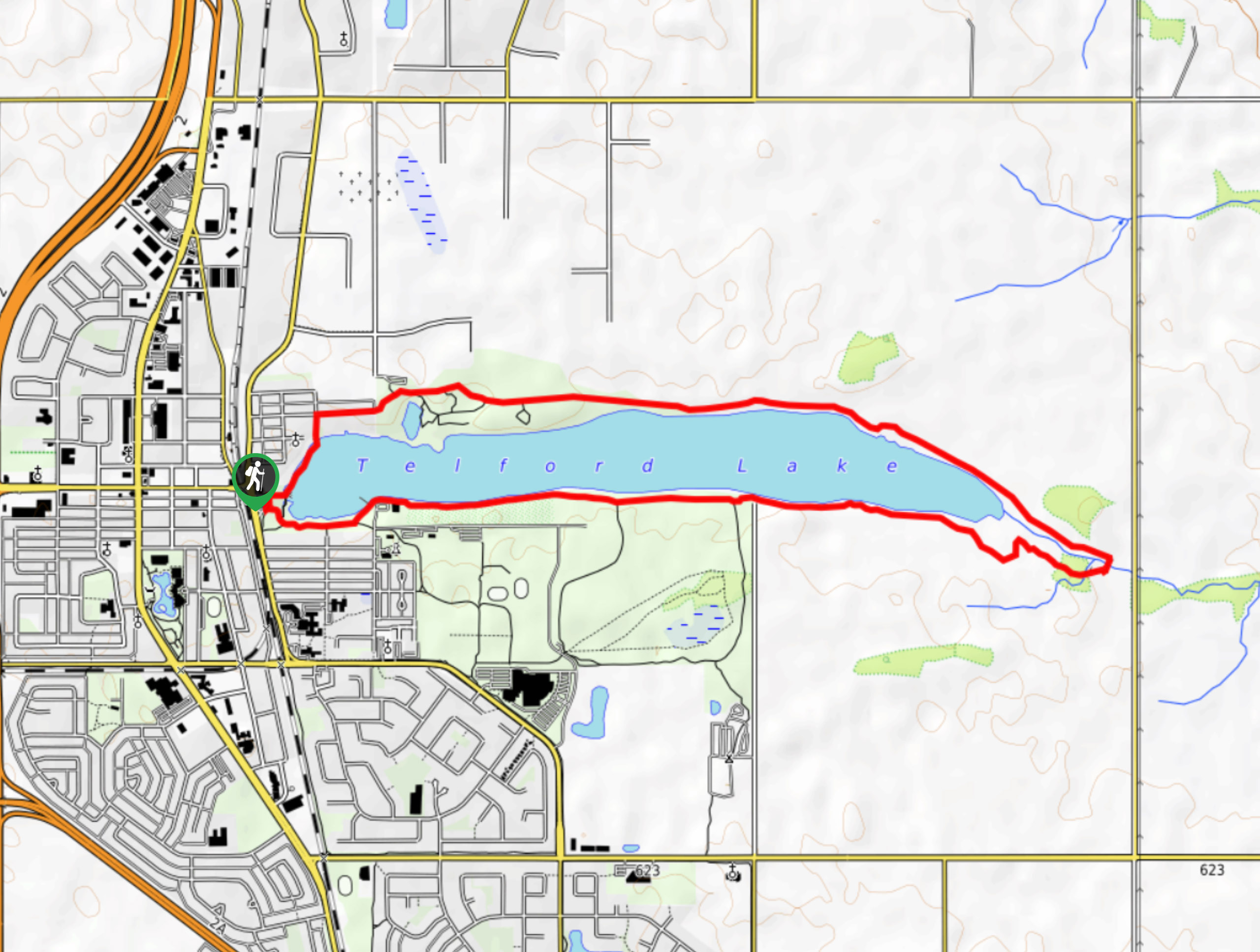
Telford Lake Multiway Trail
The Telford Lake Multiway trail is a 2-3 hour route in Leduc, Alberta. This trail is close to the Edmonton…
Comments