Rundle Park Trail
View Photos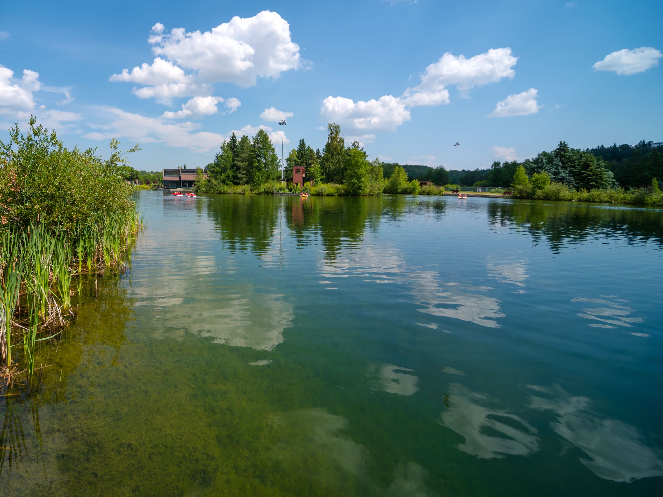
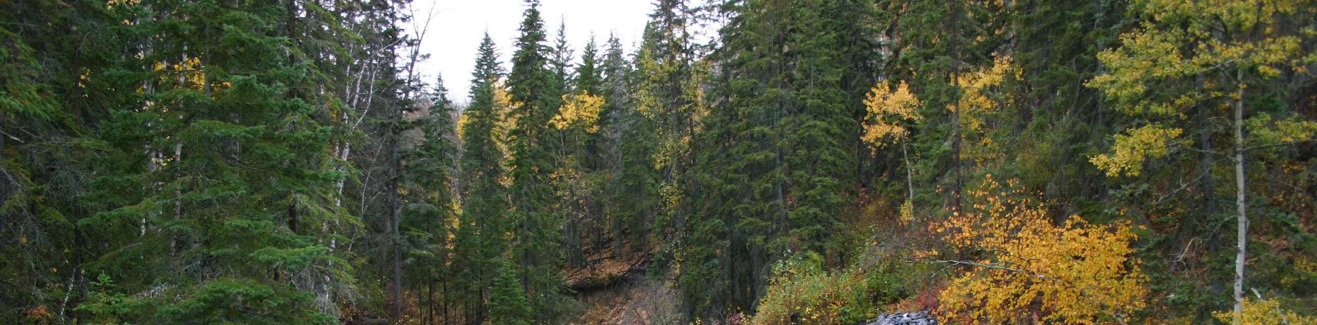
Rundle Park Trail
Difficulty Rating:
Hiking Rundle Park is just one of the many things you can do here. We suggest planning a half to full day here with your family to take advantage of what the park has to offer. You can get on the water, play mini golf or horseshoes, plan a picnic, and even play field sports. The hike itself circumnavigates the park from the north, creating a counterclockwise loop.
Getting there
To get to the Rundle Park Trail, find your way onto 112 Ave NW. The park is located on the north side of the river. From 112 Ave NW, head eastbound and turn right onto 50 St NW. Turn left onto 114 Ave NW, right onto 34 St NW, left onto 113 Ave NW, and continue on Rundle Park Rd NW. Stay right, and follow signs for parking at the first exit on the roundabout. Park here and find the signs for the trail.

About
| When to do | Year-Round |
| Backcountry Campsites | No |
| Pets allowed | Yes |
| Family friendly | Yes |
| Route Signage | Good |
| Crowd Levels | Moderate |
| Route Type | Circuit |
Rundle Park Trail
Elevation Graph
Weather
Rundle Park Trail Description
Rundle Park Trail is a great loop trail in the heart of the city. It is a short trip with almost no elevation gain. The park is host to many amenities, which can mean that there is a higher number of visitors than some other areas in the city. Watch for multiple modes of transit on the trail as this is a multi-use area, and you may encounter cyclists moving at high speeds.
The park is a great choice for groups wanting to spend a half day or more. There are plenty of picnic sites, activities, playgrounds, and fields here to fulfill your needs. When looking for fresh air and green space, this is an excellent destination.
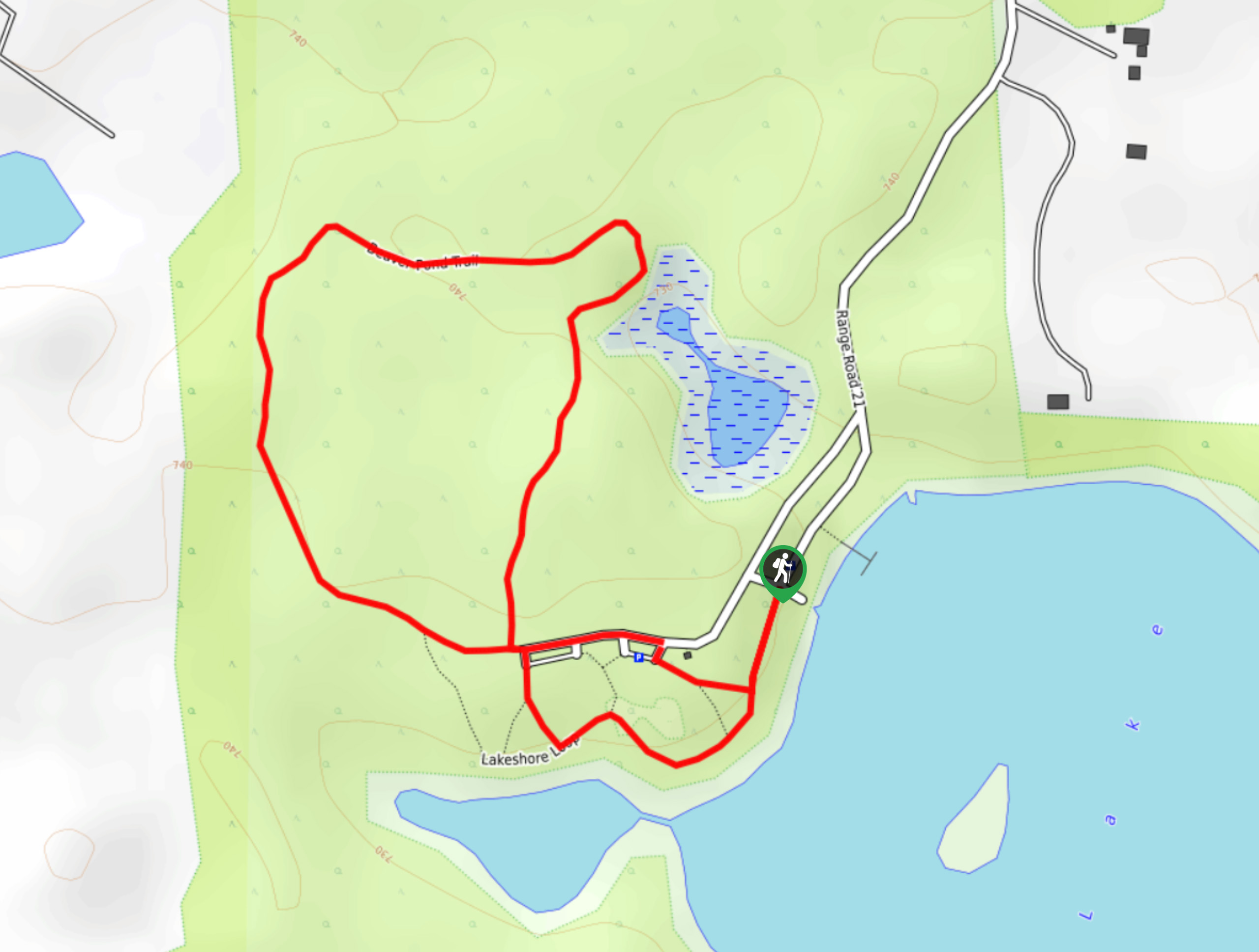
From the parking area, find trail signs for the Rundle Park Trail, also known as Rundle Activity Park. Find the beginning of the trail at the southwest corner of the parking area, taking a right out of the lot. You will travel in a counterclockwise direction on this route.
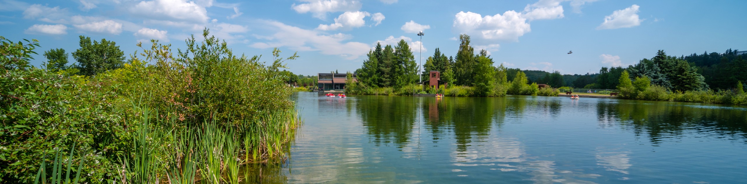
After 2297ft, you will come across the ACT Aquatic and Recreation Centre on your right. Stay left and enjoy a small detour to a pond here. There is a playground here as well if you are looking to take a break. Continue onwards on the main trail and come to another small detour to a larger pond on your left. There is an out and back of roughly 328ft to the edge of the pond.
Come to a trail junction and turn left, contouring the southeastern edge of the next large water feature. Stay on this main trail for 1312ft, passing a few small junctions before turning left to head south towards the North Saskatchewan River. In 328ft, you will join the main riverside trail and begin hiking back eastbound.
Follow the main path here as you curve along the river’s edge back to the parking lot where you began. The Rundle Park is equipped with many activity options including horseshoes, mini golf, playgrounds, soccer fields, tennis courts, disc golf, beach volleyball, many picnic sites, and a paddling centre.
Trail Highlights
Rundle Park
Rundle Park is located on the north edge of the North Saskatchewan River in the city’s northeast quadrant. It has an extensive range of activity features for all abilities and group types. There are sports fields, picnic sites, and a large paddling centre. In the winter, the park has a popular toboggan hill and an iceway through the park. It is a great place to spend the day in Edmonton.
Frequently Asked Questions
Is Rundle Park dog friendly?
Yes; however, dogs must be on leash.
Insider Hints
Pack a picnic to enjoy at one of the many picnic areas
Bring cash along if you plan on stopping for mini golf, or enjoying the paddling centre on your way through the trail
If you are into disc golf, bring along your discs for a fun course
Similar hikes to the Rundle Park Trail hike
Hasse Lake Trail
Hiking the Hasse Lake Trail is a fun way to get outside near Spring Lake. It is an easy trail…
Hard Luck Canyon Loop
The Hard Luck Canyon Loop Trail is an 2625ft route near Whitecourt, AB. This is far from Edmonton,…
Wolf Willow Trail Loop
The Wolf Willow Trail Loop is part of a great greenspace in the city of Edmonton. If you find yourself…
Comments