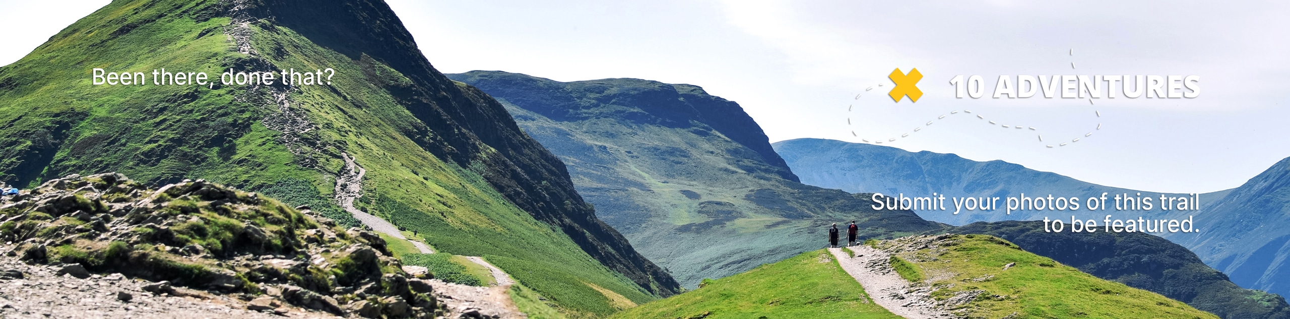
Two Moors Way Section 9: Witheridge to Knowstone
View Photos
Two Moors Way Section 9: Witheridge to Knowstone
Difficulty Rating:
Walking the Two Moors Way Section 9: Witheridge to Knowstone is a beautifully scenic journey that will allow you to experience the lovely landscapes of the Devon countryside. While out on the trail, you will pass through open stretches of farmland, peaceful forests, and charming villages, as you traverse the undulating terrain of the region. This one-way walk is part of a much longer trek, but don’t sweat it if you only plan on completing this small portion of it.
Getting there
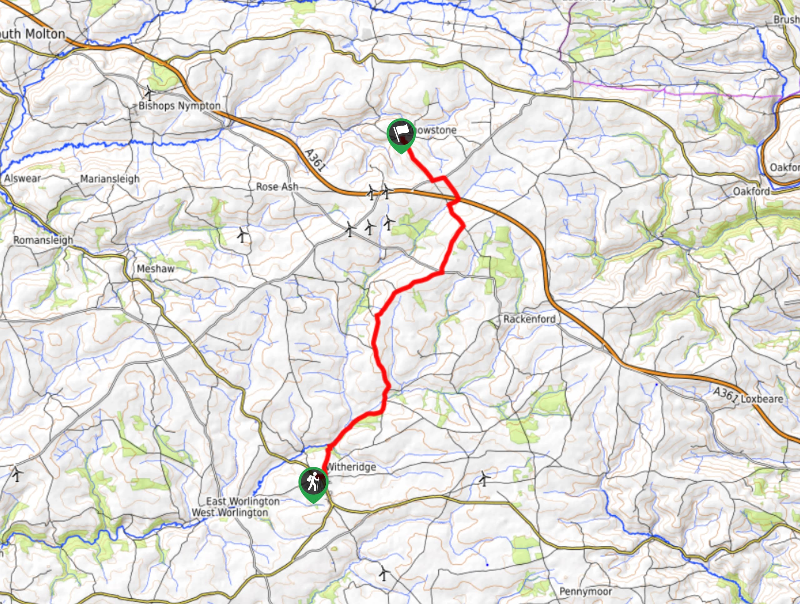
To reach the Two Moors Way Section 9: Witheridge to Knowstone trailhead from Tiverton, drive southwest on Longdrag Hill/B3137 for 10.2mi to arrive at the starting point of the walk in Witheridge.

About
| When to do | Year-Round |
| Backcountry Campsites | No |
| Pets allowed | Yes - On Leash |
| Family friendly | Older Children only |
| Route Signage | Average |
| Crowd Levels | Moderate |
| Route Type | One Way |
Two Moors Way Section 9: Witheridge to Knowstone
Elevation Graph
Weather
Two Moors Way Section 9: Witheridge to Knowstone Description
The Two Moors Way Section 9: Witheridge to Knowstone is a fantastic walking route in Devon that is actually part of a much longer journey across Dartmoor and Exmoor national parks, meaning that it traverses the open countryside with all of its different geological features and quirks. As you will be making your way through stretches of woodland, open farmland, rolling hills, and riverside terrain, you will need to wear proper walking boots with good ankle support. Additionally, this is a one-way walk, so unless you are looking to tack on an extra 7.6mi onto your journey, you should think about making arrangements for a pick up at the end of the route.
If you enjoy strolling through the open countryside and experiencing a number of different terrain types and scenic views, then this walk will be right up your alley. Charming villages, lovely forests, and picturesque fields await, as you will make your way across Devon on foot to take in all of its natural beauty. What a fantastic way to spend a weekend afternoon!
Setting out from the trailhead in Witheridge, make your way to the southeast along the road to pass by the Mitre Inn – this is a great pub to grab some refreshments before setting out on your journey. From the pub, continue to the southeast along the road for 175ft and turn left onto North Street. Follow this for 465ft and pick up the footpath on the left that will lead you out into the countryside.
After 0.5mi, enter into the cover of the forest and keep right at the junction to cross over a small stream. From here, keep straight along the path as it runs parallel to the Little Dart River and passes through intermittent stretches of woodland terrain before meeting up with the edge of Bradford Moor Hill. Turn left onto the road and keep straight along it for the next 1.6mi, climbing uphill through the picturesque Devon countryside to reach a junction in the road.
Turn right here and continue along the road for another 1.3mi, where you will eventually come to another junction in the road. Cross over to the opposite side and head to the left, where you will very quickly find a footpath branching off towards the northeast. Follow this along the edge of the treeline and enjoy the lovely views of the farm fields to your left, as you continue along the path for 0.8mi. Meeting up with another road, follow it to the left for 0.4mi to pass by a small school on your right and cross over the Sturcombe River.
Just after the river, you will turn off into the forest on your right and follow along the water’s edge until you pass under the highway. From here, you will turn to the northwest to exit the cover of the trees and follow along the treeline with open fields on your right. Eventually, you will meet up with the edge of a road at a gated layby, at which point you will head to the left along the road for 0.16mi. Turn right here and continue along the road for 0.67mi, picking up the footpath that branches off to the right for the final jaunt into Knowstone. After crossing the last 0.2mi of fields, you will arrive in the village at The Masons Arms, a perfect point to end your adventure on the Two Moors Way Section 9: Witheridge to Knowstone.
Insider Hints
There is a small amount of elevation gain and rugged terrain spread throughout the route, so be sure to wear comfortable walking boots with good support.
Make sure to pre-arrange a pick up at the end of the trail, unless you want to re-walk the entire distance of the trail.
The Mitre Inn next to the trailhead is a great spot for a cheeky pre-walk pint, as is The Masons Arms for post-walk drinks.
Similar hikes to the Two Moors Way Section 9: Witheridge to Knowstone hike
Exmouth and Dawlish Warren Walk
Walking the Exmouth and Dawlish Warren Trail is a beautifully scenic but physically demanding excursion in Devon that will see…
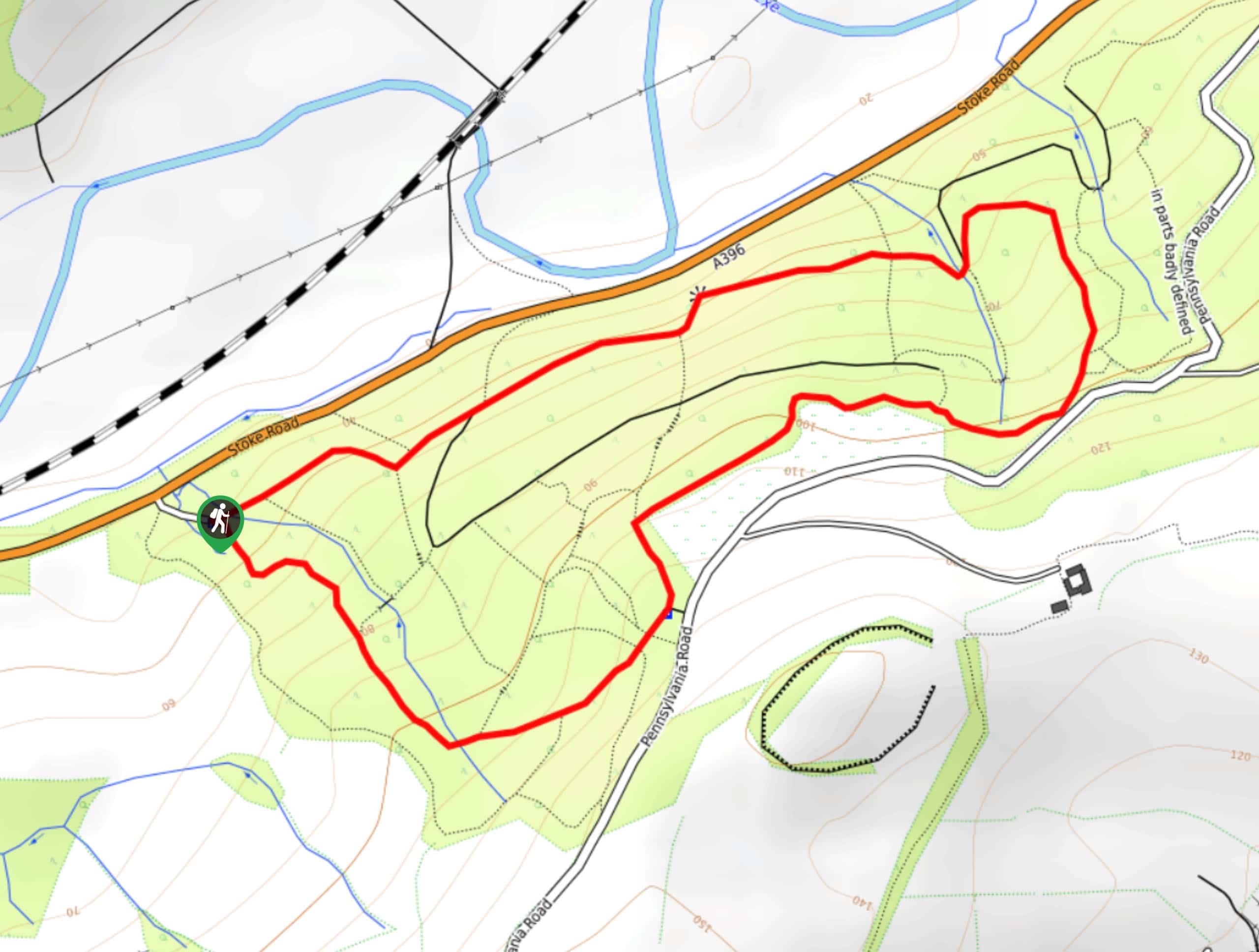
Stoke Woods Circular Walk
The Stoke Woods Circular Walk is a quick and fairly easy adventure near Exeter that will expose you to some…
Ottery Saint Mary Woodland Walk
The Ottery Saint Mary Woodland Walk is a great excursion in Devon that features some relatively easy to manage terrain…
Comments