South West Coast Path: Wembury to Challaborough
View Photos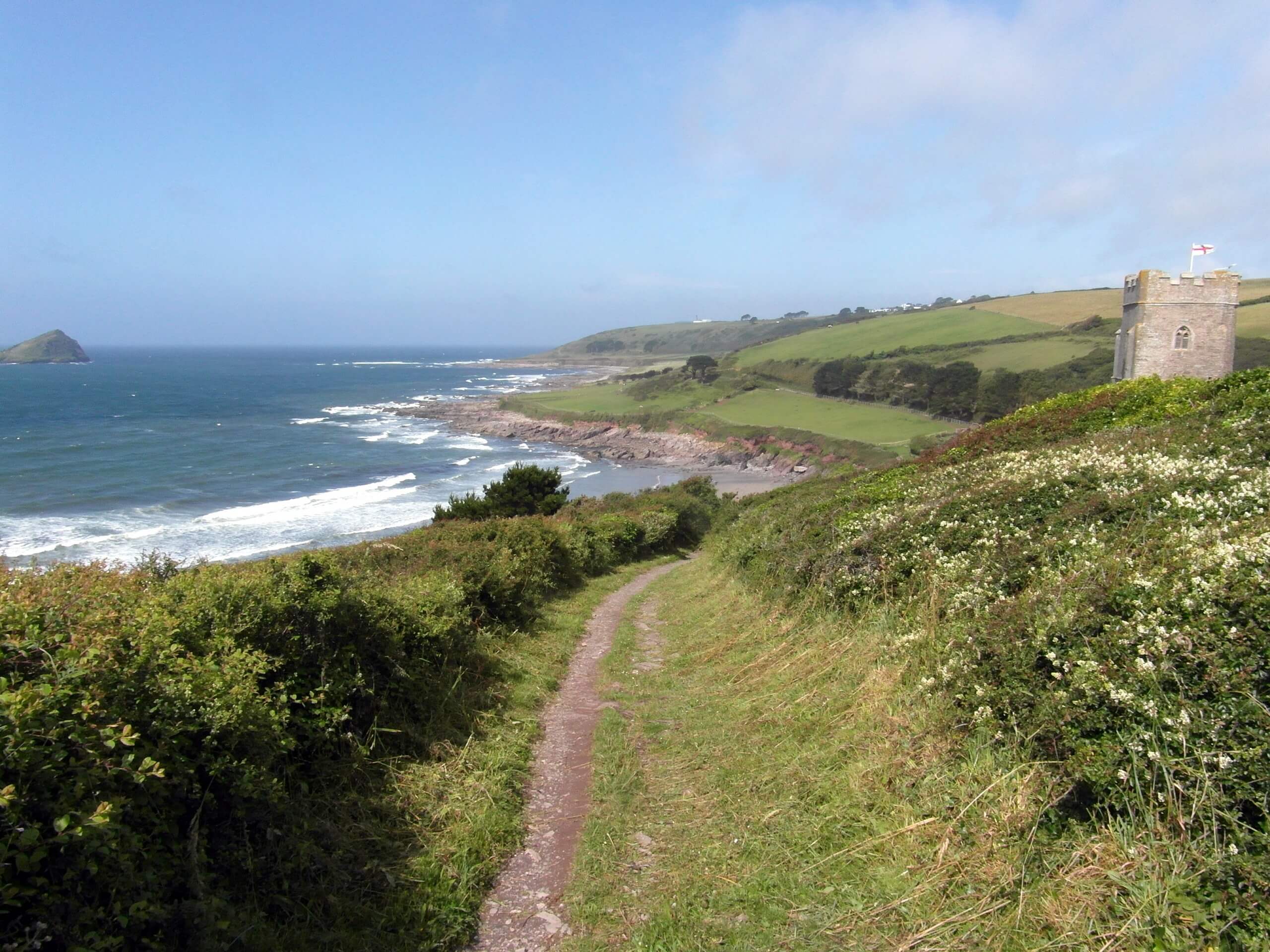
South West Coast Path: Wembury to Challaborough
Difficulty Rating:
The South West Coast Path: Wembury to Challaborough is an amazing long distance walking route that will allow you to experience the beauty of the South Devon coast. While out on the trail, you will explore the Yealm Estuary and meander along the beautiful coastal terrain before crossing the River Erme by foot at low tide on the way to Challaborough Bay. This route does involve a ferry crossing over the Yealm Estuary that is only serviceable from April to September, as well as a foot crossing over the River Erme that will need to be timed for low tide, so be sure to plan your walk accordingly.
Getting there
To get to the South West Coast Path: Wembury to Challaborough trailhead from the corner of Church Road and Mewstone in Wembury, head southwest on CHurch Road for 0.3mi and keep right for another 0.1mi to arrive at the car park.

About
| Backcountry Campground | No |
| When to do | April-September |
| Pets allowed | Yes - On Leash |
| Family friendly | No |
| Route Signage | Average |
| Crowd Levels | Moderate |
| Route Type | One Way |
South West Coast Path: Wembury to Challaborough
Elevation Graph
Weather
Wembury to Challaborough Trail Description
While the South West Coast Path: Wembury to Challaborough is a long walking route, the real difficulty is in the logistics. Along the trail, you will need to utilize a ferry or water taxi to cross the Yealm Estuary, but will also need to reach the River Erme at low tide in order to cross over on foot. Be sure to check tidal times prior to setting out and exercise all precautions, as this portion of the walk can be dangerous.
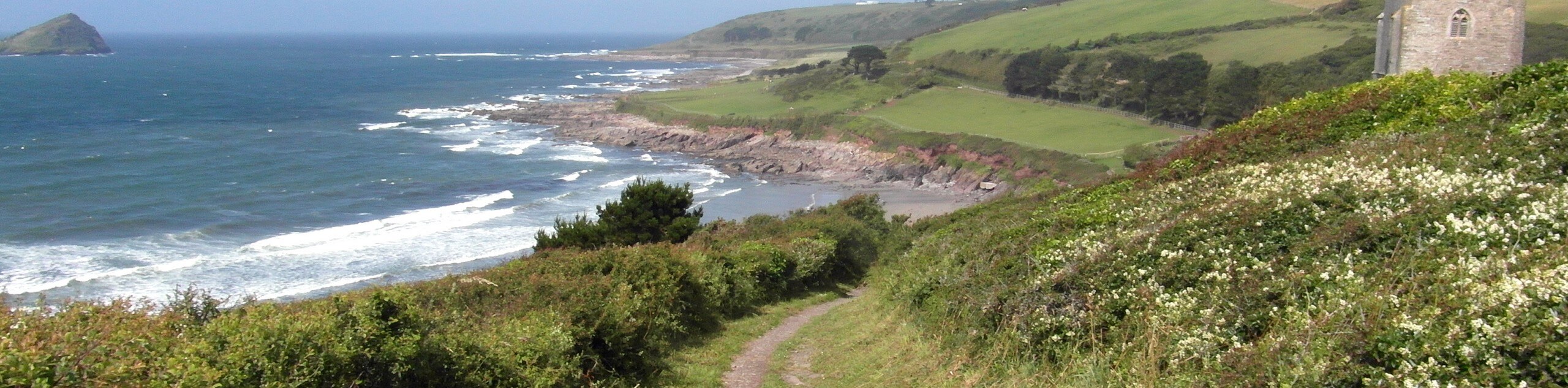
Setting out from the trailhead in Wenbury, you will head to the southeast along the coast to reach Warren Point, where you will need to either hire a water taxi or utilize the Noss Mayo Ferry to reach the opposite side of the estuary. From here, you will make your way along the dramatic cliffside and enjoy stunning views across the English Channel, as you work your way towards the next crossing of the walk at the River Erme.
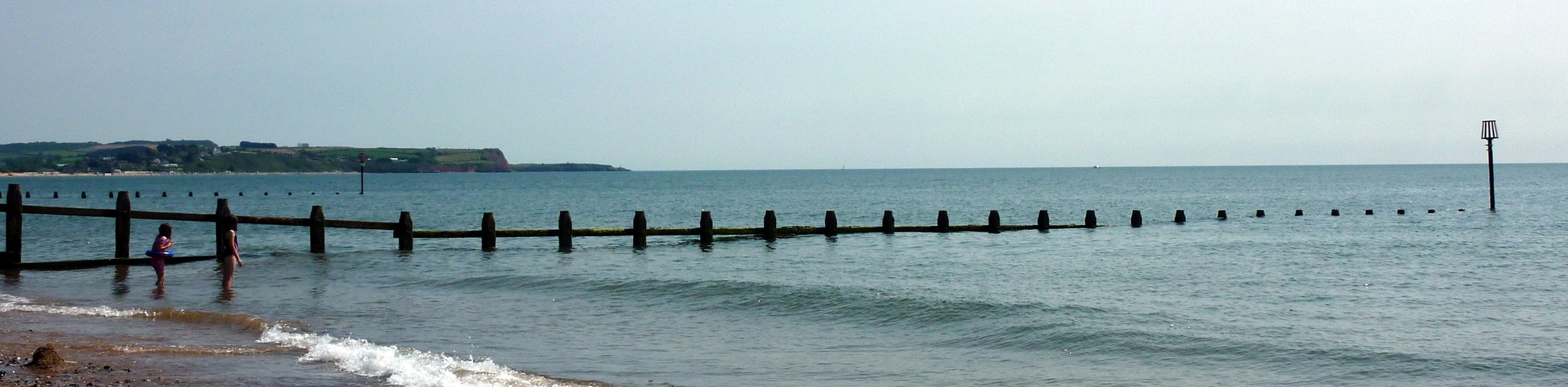
There are sign boards posted at the edge of the water detailing the best route across; however, this can only be accomplished safely in the 1 hour on either side of low tide, when the water is knee deep. If you miss this window, you will need to walk an extra 8 miles around the estuary to pick the trail back up. After reaching the opposite side, continue along the coast and take in the views over the secluded coves and beaches that characterize the landscape, as you make your way to the end of the trail at Challaborough Bay.
Similar hikes to the South West Coast Path: Wembury to Challaborough hike
Exmouth and Dawlish Warren Walk
Walking the Exmouth and Dawlish Warren Trail is a beautifully scenic but physically demanding excursion in Devon that will see…
Stoke Woods Circular Walk
The Stoke Woods Circular Walk is a quick and fairly easy adventure near Exeter that will expose you to some…

Ottery Saint Mary Woodland Walk
The Ottery Saint Mary Woodland Walk is a great excursion in Devon that features some relatively easy to manage terrain…
Comments