South West Coast Path: Plymouth to Wembury
View Photos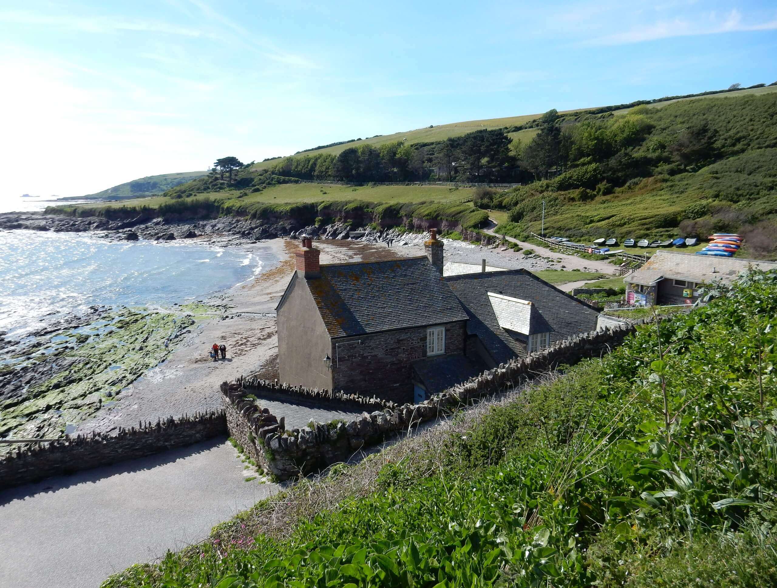
South West Coast Path: Plymouth to Wembury
Difficulty Rating:
The South West Coast Path: Plymouth to Wembury is an amazing walking route that will take you along the South Devon Coast for some spectacular views across the blue expanse of the English Channel. While out walking the trail, you will make your way through the city and open countryside along the water’s edge, until you reach the end point of the trail near Wembury Beach. This is a point-to-point trail, so make sure to pre-arrange a pick up at the end of the route.
Getting there
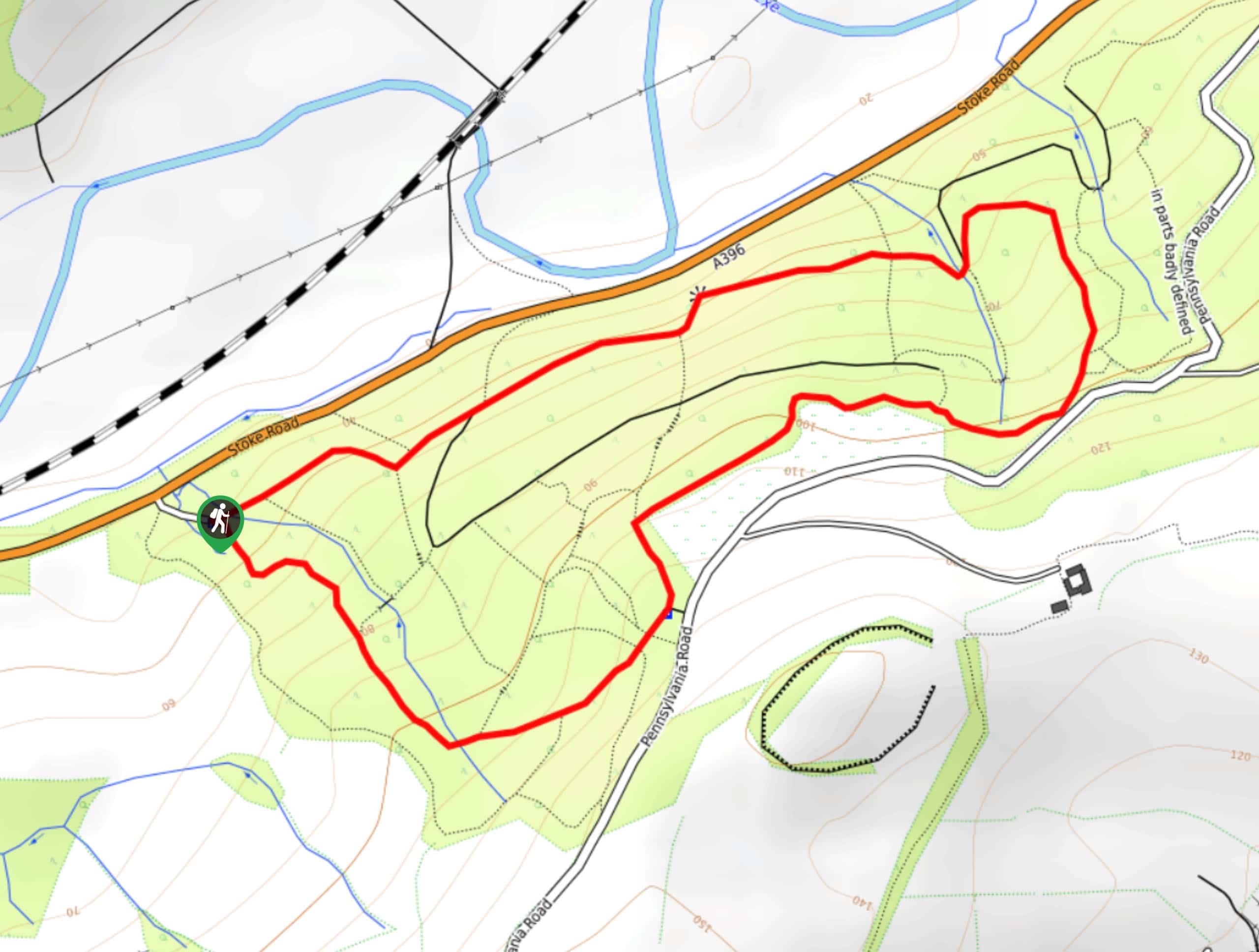
To reach the South West Coast Path: Plymouth to Wembury trailhead from the Plymouth rail station, drive southeast on Saltash Road for 0.1mi and take the second exit at the roundabout onto Cobourg Street, following it for 0.4mi. At the next roundabout, take the second exit onto Exeter Street and continue on for 0.3mi. From here, turn right onto Sutton Road and follow it for 0.3mi, before turning right onto Lockyers Quay. After 350ft, you will arrive at the car park.

About
| Backcountry Campground | No |
| When to do | Year-Round |
| Pets allowed | Yes - On Leash |
| Family friendly | Older Children only |
| Route Signage | Average |
| Crowd Levels | Moderate |
| Route Type | One Way |
South West Coast Path: Plymouth to Wembury
Elevation Graph
Weather
South West Coast Path: Plymouth to Wembury Description
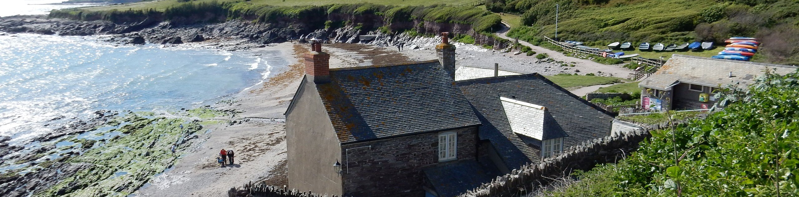
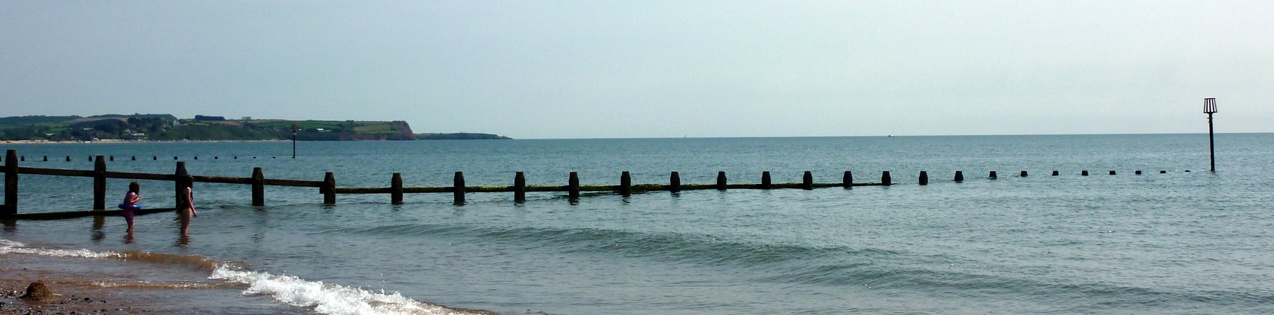
Although it is only a small portion of a much longer route, the South West Coast Path: Plymouth to Wembury is a fantastic walking route in its own right, as it offers some absolutely stunning views overlooking the English Channel. Setting out from the trailhead at Sutton Harbour, you will make your way east along the water’s edge and cross over Laira Bridge, following along the coast until you arrive at the historic Mount Batten Tower with its amazing views across the water. Continue south to traverse the rugged coastal terrain, passing by the golf course and Fort Bovisand, before arriving at the southeast corner of the route at Renney Point. From here, the trail will turn east along the water’s edge until you reach the end point of the walk at Wembury Beach.
Similar hikes to the South West Coast Path: Plymouth to Wembury hike
Exmouth and Dawlish Warren Walk
Walking the Exmouth and Dawlish Warren Trail is a beautifully scenic but physically demanding excursion in Devon that will see…
Stoke Woods Circular Walk
The Stoke Woods Circular Walk is a quick and fairly easy adventure near Exeter that will expose you to some…

Ottery Saint Mary Woodland Walk
The Ottery Saint Mary Woodland Walk is a great excursion in Devon that features some relatively easy to manage terrain…
Comments