South West Coast Path: Challaborough to Salcombe
View Photos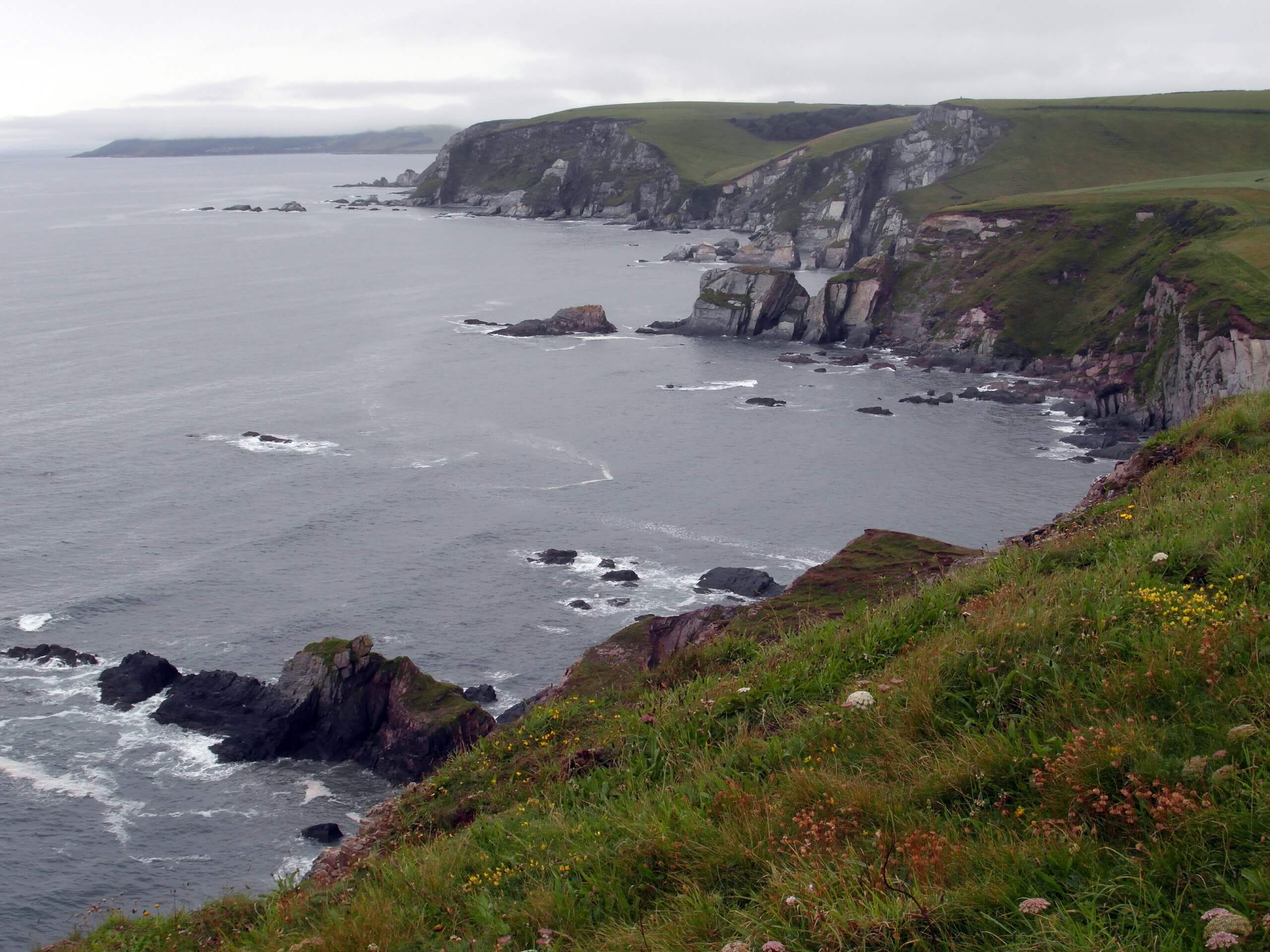
South West Coast Path: Challaborough to Salcombe
Difficulty Rating:
The South West Coast Path: Challaborough to Salcombe is a scenic section of a much longer route that will lead you along the entirety of the Devon coastline. While out on this specific portion of the trail, you will pass through charming villages and traverse rugged coastal terrain with stunning views before passing by Salcombe Castle on the final leg into the endpoint of the walk. This is a point-to-point trail, so make sure to arrange a pick up at the end of the route, or else you’ll be legging it the full distance back to your vehicle at the trailhead!
Getting there
To access the South West Coast Path: Challaborough to Salcombe trailhead from the post box in Ringmore, drive southwest for 0.1mi and turn left. Continue on for 0.5mi and you will arrive at the parking area.

About
| Backcountry Campground | No |
| When to do | Year-Round |
| Pets allowed | Yes - On Leash |
| Family friendly | No |
| Route Signage | Average |
| Crowd Levels | Moderate |
| Route Type | One Way |
South West Coast Path: Challaborough to Salcombe
Elevation Graph
Weather
Challaborough to Salcombe Trail Description
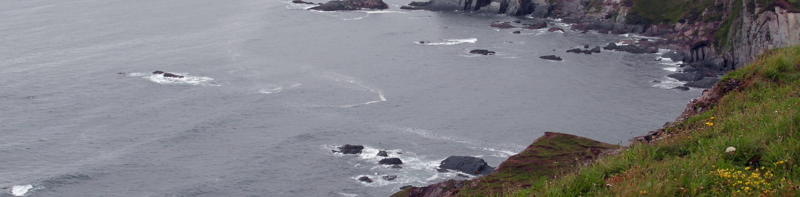
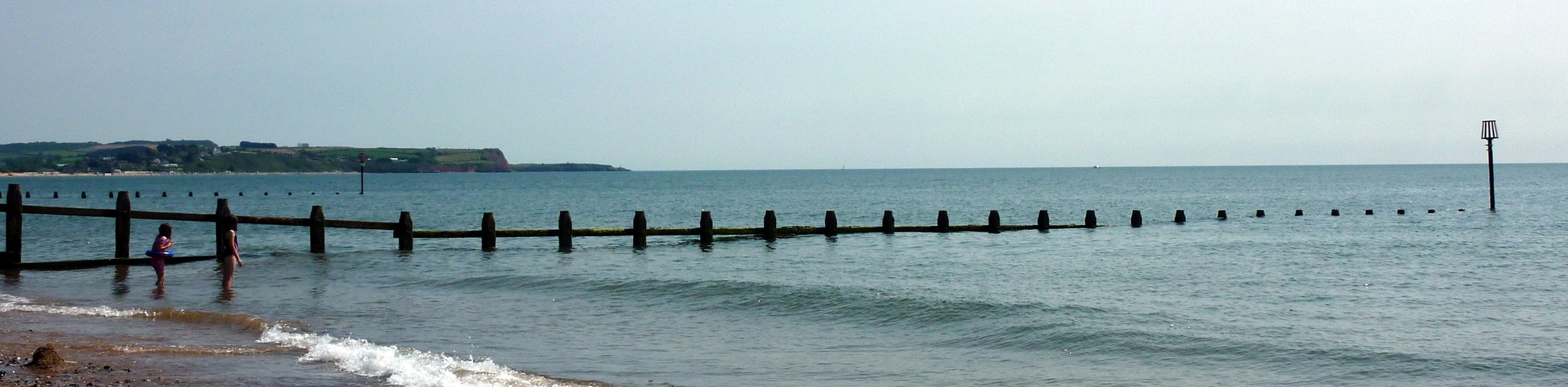
Walking the South West Coast Path: Challaborough to Salcombe is a popular activity for long-distance walkers, as the rugged and undulating terrain along the coast offers a moderate challenge and the stunning views across the English Channel are a beautiful sight to behold. You will need to time this walk for low tide, as you will need to cross the River Avon near the beginning of your journey. Alternatively, if you are walking in the summer there is a ferry to shuttle people across.
Setting out from the car park at the Challaborough Bay Holiday Park, you will head to the southeast and enjoy the coastal views around the point of Bigbury-on-Sea before making the tricky crossing over the River Avon to reach Bantham. From here, you will walk to the southwest past Bantham Beach and climb uphill along the cliffside, working your way south along the water’s edge.
After experiencing the beautiful views between Thurlstone and Hope Cove, the trail will turn to the southeast and follow along an even more dramatic stretch of coastline. Take some time to appreciate the picturesque views of the water crashing on the cliffs, as you round Bolt Head and turn to the north on the final leg of the walk. Here, you will head downhill and navigate the coastal landscape, passing by the historical Salcombe Castle on the final approach to the end point of the trail.
Similar hikes to the South West Coast Path: Challaborough to Salcombe hike
Exmouth and Dawlish Warren Walk
Walking the Exmouth and Dawlish Warren Trail is a beautifully scenic but physically demanding excursion in Devon that will see…
Stoke Woods Circular Walk
The Stoke Woods Circular Walk is a quick and fairly easy adventure near Exeter that will expose you to some…

Ottery Saint Mary Woodland Walk
The Ottery Saint Mary Woodland Walk is a great excursion in Devon that features some relatively easy to manage terrain…
Comments