South West Coast Path: Ilfracombe to Woolacombe
View Photos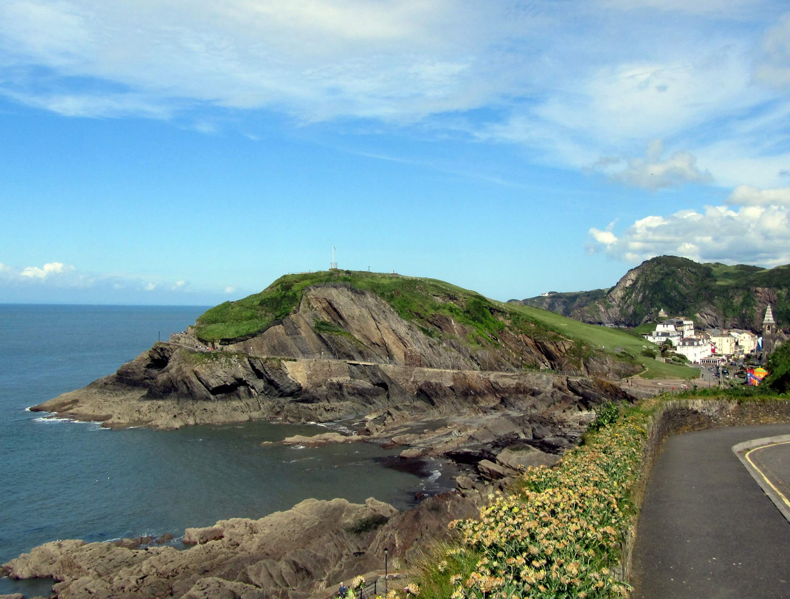
South West Coast Path: Ilfracombe to Woolacombe
Difficulty Rating:
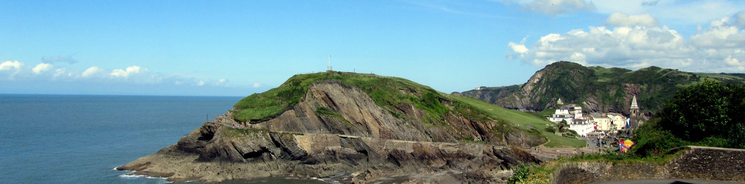
The South West Coast Path: Ilfracombe to Woolacombe is a pleasant walk along the Devon coast that will take you through some undulating terrain with spectacular views. While walking in between these two areas, you will traverse the rugged coast with its stunning cliffs and look out across the blue waters of the Bristol Channel as they stretch out to Lundy Island and South Wales. This is a point-to-point trail, so remember to arrange a pick up for the end of your walk unless you want to walk the entire distance back!
Getting there
To reach the South West Coast Path: Ilfracombe to Woolacombe trailhead from Braunton, drive north on Chaloners Road/A361 for 5.6mi and take the second exit at the roundabout to continue along the same road for 2.1mi. At the next roundabout, take the second exit onto Church Road/A361 and follow it for 177ft. Turn left onto Wilder Road and continue on for 0.4mi, turning left to enter the car park.

About
| Backcountry Campground | North Morte Farm Caravan and Camping Park |
| When to do | Year-Round |
| Pets allowed | Yes - On Leash |
| Family friendly | Older Children only |
| Route Signage | Average |
| Crowd Levels | Moderate |
| Route Type | One Way |
South West Coast Path: Ilfracombe to Woolacombe
Elevation Graph
Weather
South West Coast Path: Ilfracombe to Woolacombe Description
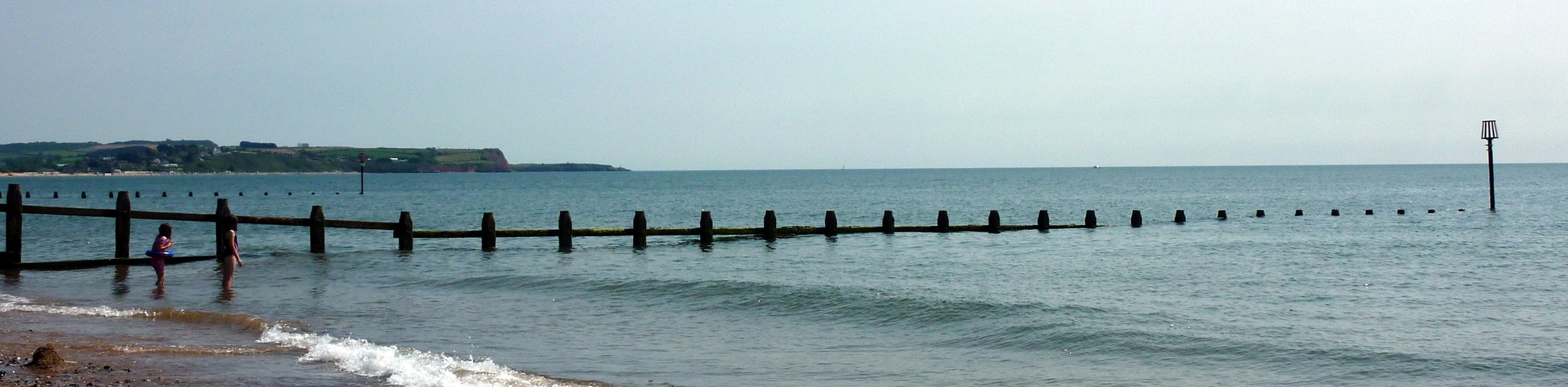
One of the shorter sections of the South West Coast Path, the Ilfracombe to Woolacombe stretch is a beautiful coastal walk that is suitable for a wide variety of walking enthusiasts, thanks to its wonderful views and undulating, but not too challenging terrain. Setting out from the car park in Ilfracombe, you will make your way west through the town and climb uphill through the countryside, working along an elevated position with stunning views along the coast. After reaching the Bull Point Lighthouse with its amazing views of the Bristol Channel, the trail will turn to the southwest and continue along the water’s edge, traversing Baggy Point and eventually arriving at the end point of the walk in Woolacombe.
Similar hikes to the South West Coast Path: Ilfracombe to Woolacombe hike
Exmouth and Dawlish Warren Walk
Walking the Exmouth and Dawlish Warren Trail is a beautifully scenic but physically demanding excursion in Devon that will see…
Stoke Woods Circular Walk
The Stoke Woods Circular Walk is a quick and fairly easy adventure near Exeter that will expose you to some…
Ottery Saint Mary Woodland Walk
The Ottery Saint Mary Woodland Walk is a great excursion in Devon that features some relatively easy to manage terrain…
Comments