
Van Bibber Park Trail
View Photos
Van Bibber Park Trail
Difficulty Rating:
The Van Bibber Park Trail is a charming nature walk in the city center. This scenic, natural oasis is the perfect escape from the hustle and bustle where folks often go to reconnect with nature, de-stress or have a picnic! Featuring a lake and ample green space, the hike is a relaxing meander that hikers of all skill levels and kids alike can enjoy.
Getting there
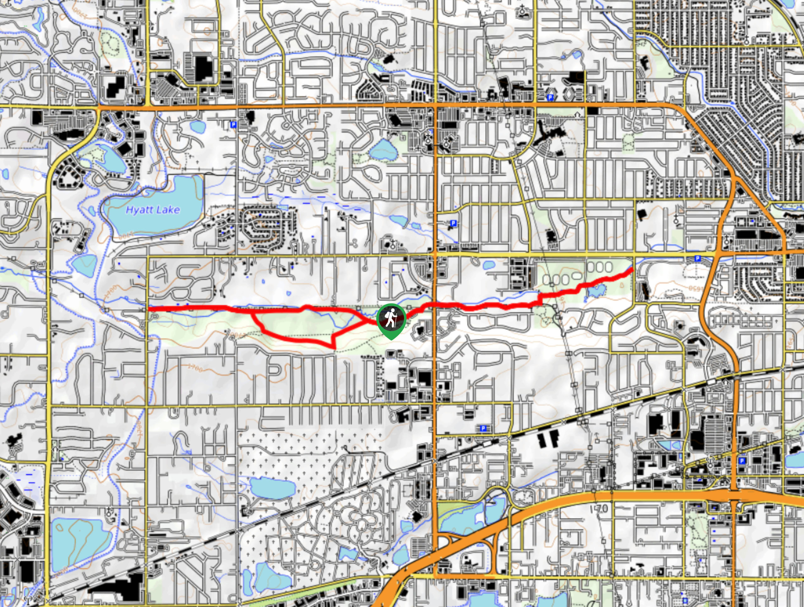
The Van Bibber Park Trail departs from the parking lot and trailhead off Oak Street.

About
| Backcountry Campground | No |
| When to do | Year-round |
| Pets allowed | Yes - On Leash |
| Family friendly | Yes |
| Route Signage | Average |
| Crowd Levels | Moderate |
| Route Type | Lollipop |
Van Bibber Park Trail
Elevation Graph
Weather
Van Bibber Park Trail Description
Explore the wilderness and escape the stressors of the real world as you trek the Van Bibber Park Trail. Whether you venture the path with your family, alone, or with a friend, this adventure is a great excuse to get out into the fresh air. Note this path travels through both tree shade and exposed meadowlands, so wear layers as insurance against various weather conditions. Partially paved and level gravel terrain, this accessible trail is manageable by adventurers of all kinds! What are you waiting for? Get outdoors along the Van Bibber Park Trail!
Embark on your journey along the Van Bibber Lake Trail from the trailhead off Oak Street. From this point, trek southwest along the Van Bibber Creek Trail, passing Cormorant Lake and several sports fields. This path follows the curves of the creek and exposes distant mountain views and sights of both North and South Table Mesas. At the first junction, turn left, hiking south before the Van Bibber Creek Trail redirects you west. Hike the exposed terrain before crossing Ward Road into the Van Bibber Park. Follow the same trail past picnic sights and to a junction. Here, keep right hiking along the creek.
Follow the Van Bibber Creek Trail all the way to the route’s end at a parking lot. From here, retrace your steps along the path before turning right onto the Van Bibber Park Outer Loop Trail. Trek this trail east before merging onto the Jimmy Go Trail. Hike the Jimmy Go Trail until it reconnects with the Van Bibber Creek Trail. From the intersection, retrace your steps east along the Van Bibber Creek Trail, all the way back to the trailhead.
Similar hikes to the Van Bibber Park Trail hike
Hidden Fawn Loop Trail
The Hidden Fawn Loop Trail is a lovely meadowland adventure in the Alderfer/Three Sisters Open Space Park. Enjoy sights of…
Green Mountain Loop Hike
The Green Mountain Loop Hike is a charming nature walk along the base of Green Mountain. Hike through the grassy…
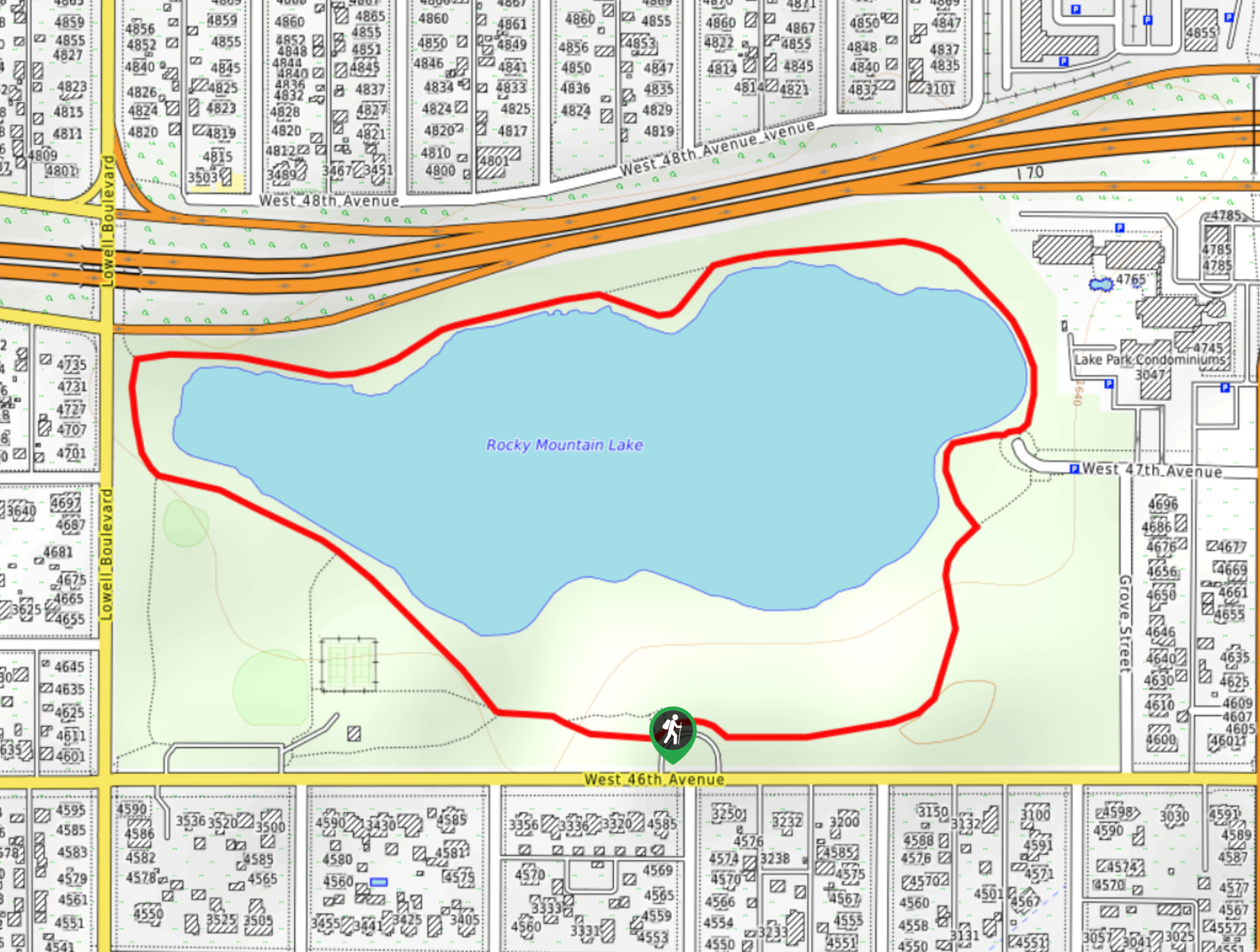
Rocky Mountain Lake Park Loop
The Rocky Mountain Lake Park Loop will transport you from the city’s center to a lakeside oasis. Hike around the…
Comments