Burro Trail
View Photos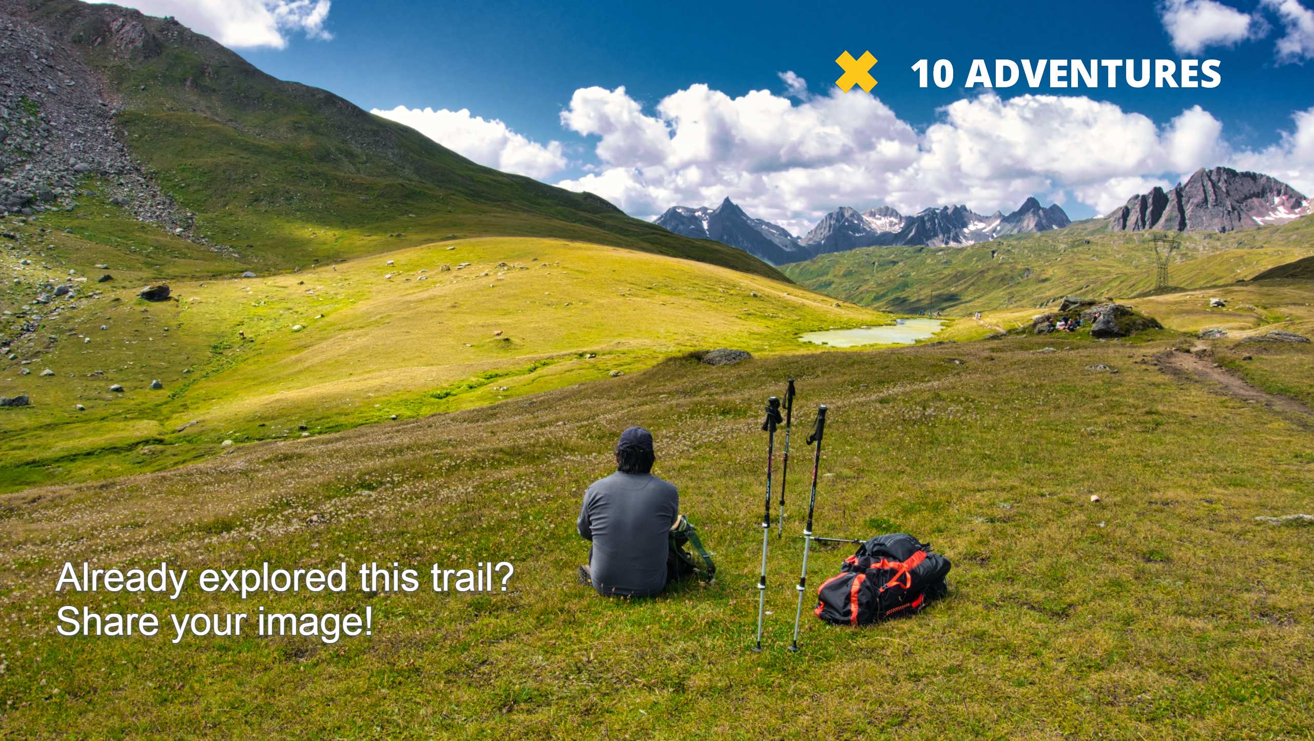
Burro Trail
Difficulty Rating:
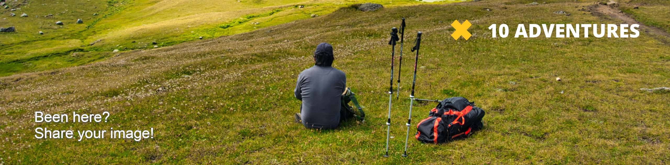
The Burro Trail is an ideal adventure for those hoping to see wildlife. The diversity of the route delivers endless possibilities to spot eagles, deer, moose, elk, and maybe even a bear. Traveling through grassy plains, past granite outcroppings, and through pine forests, this trail has it all, and we are a big fan!
Getting there
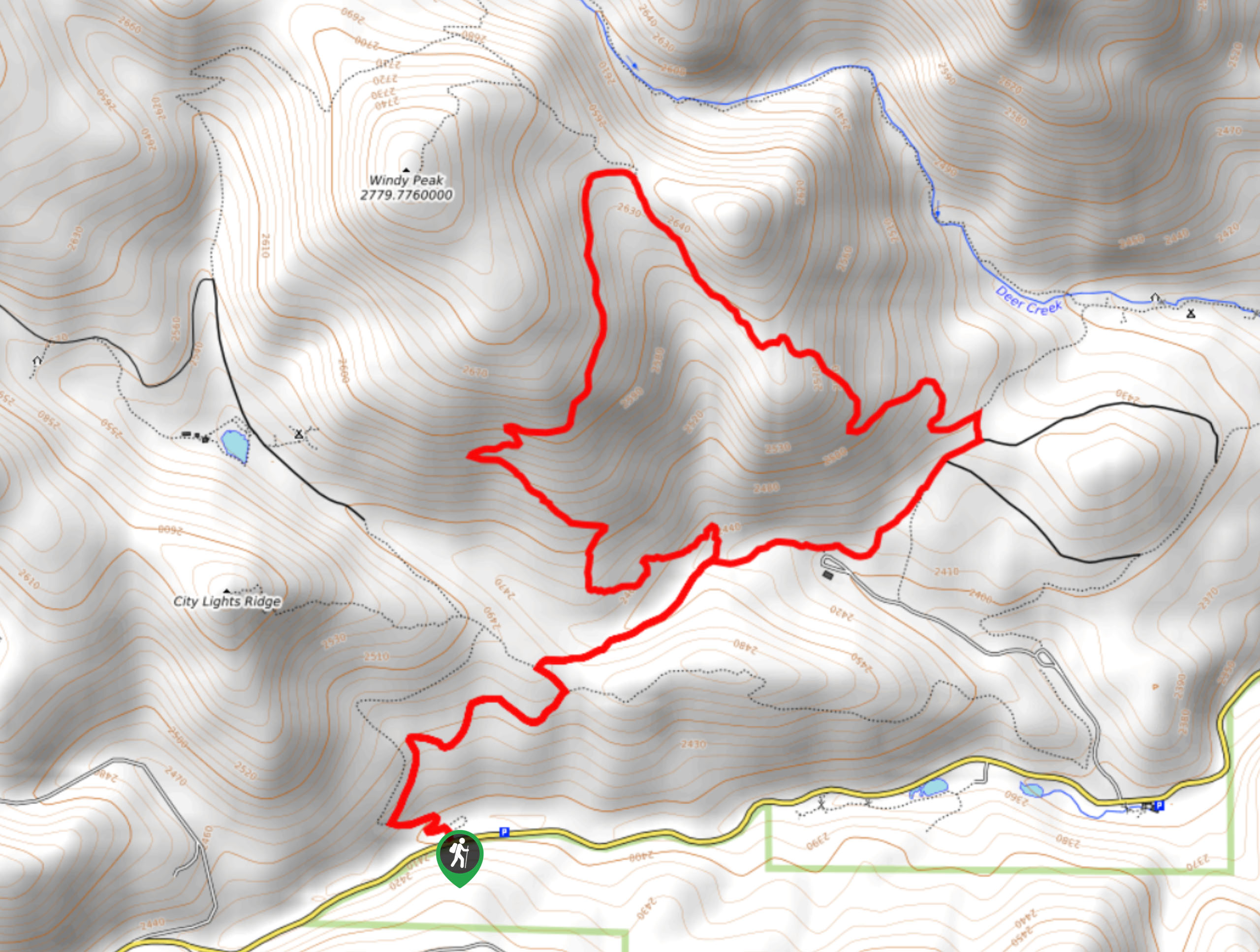
The Burro Hike departs from the trailhead off Drew Hill Road in the Golden Gate Canyon State Park.

About
| Backcountry Campground | No |
| When to do | May-October |
| Pets allowed | Yes - On Leash |
| Family friendly | Older Children only |
| Route Signage | Average |
| Crowd Levels | High |
| Route Type | Lollipop |
Burro Trail
Elevation Graph
Weather
Burro Trail Description
The Burro Hike is one of the lesser-known trails in the Golden Gate Canyon State Park, and selfishly, we kind of hope it stays this way. This hidden gem reveals unparalleled views of the Front Ranges and passes through the most scenic areas of the park and presents a great possibility of seeing wildlife! As the Burro Hike travels through various terrains, we recommend layers to protect against varying weather conditions. It is also important to keep an eye out for rattlesnakes as you pass through the arid terrain! Located within the State Park, hikers are required to purchase a day pass which typically costs around $10USD.
The Burro Hike begins from the trailhead where you will be guided north up the Burro Trail. The initial segment of this hike will lead you up a set of switchbacks up the forested terrain. Soon after your departure from the trailhead you will encounter a junction, keep straight along the Burro Trail. As you travel further into the wilderness you will pass a few aspens and the terrain will become increasingly exposed. At the next intersection, keep right, hiking through the meadowlands. Make sure to keep an eye out for elk and deer here! Continue following the Burro Trail up near the summit of Windy Peak. From here you should be granted views of the Front Range.
The Burro Trail will then curve you back down the ridges and to the junction from which you just departed. At this point, all you have to do to get back to the trailhead is retrace your footing along the Burro Trail.
Similar hikes to the Burro Trail hike

Singletree and Mayhoffer Trail
The Singletree and Mayhoffer Trail is a scenic adventure that will guide adventurers through the lush meadowlands that reveal sights…

Mount Galbraith via Cedar Gulch Trail
The Mount Galbraith via Cedar Gulch Trail is a charming adventure near Golden, Colorado that reveals the beauty and diversity…
Belcher Hill and Whippletree Trail
The Belcher Hill and Whippletree Trail is an exciting adventure—how could it not be with a name like that? The…
Comments