Mule Deer Trail
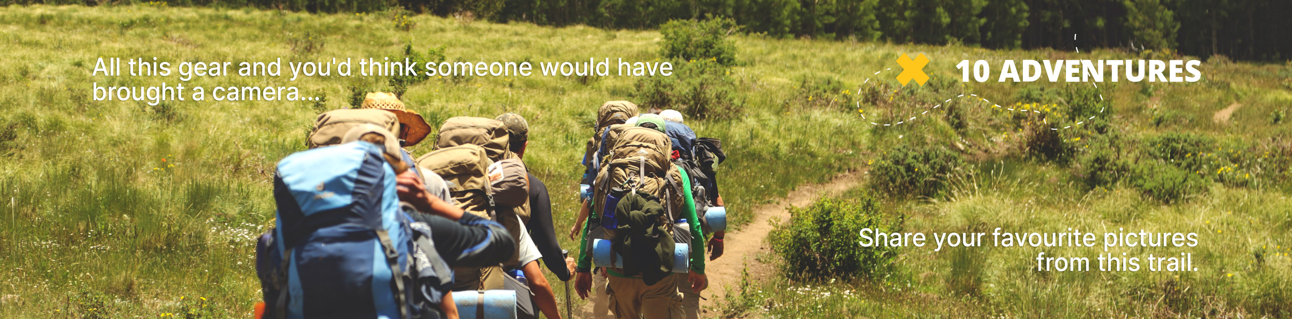
View Photos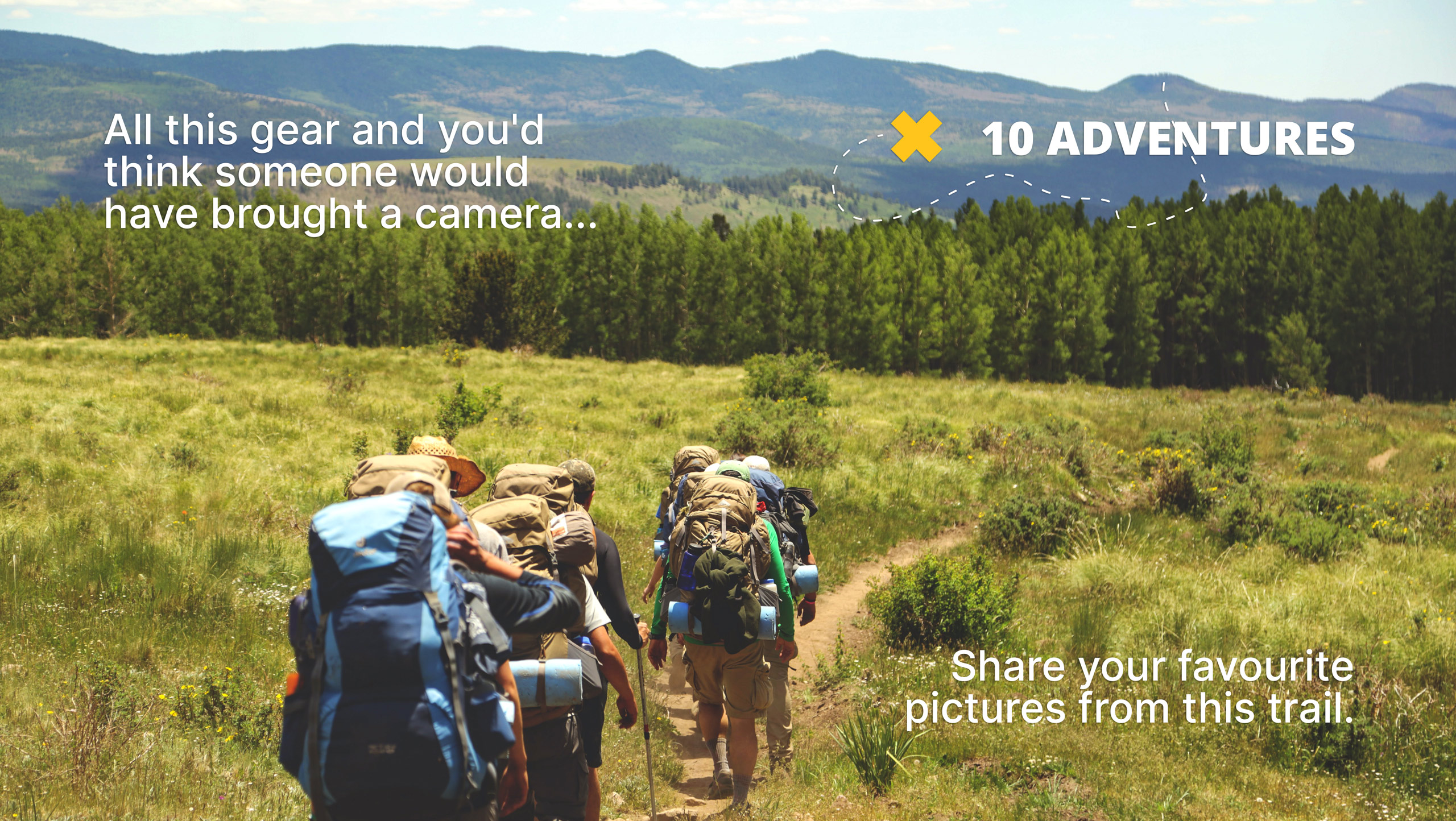
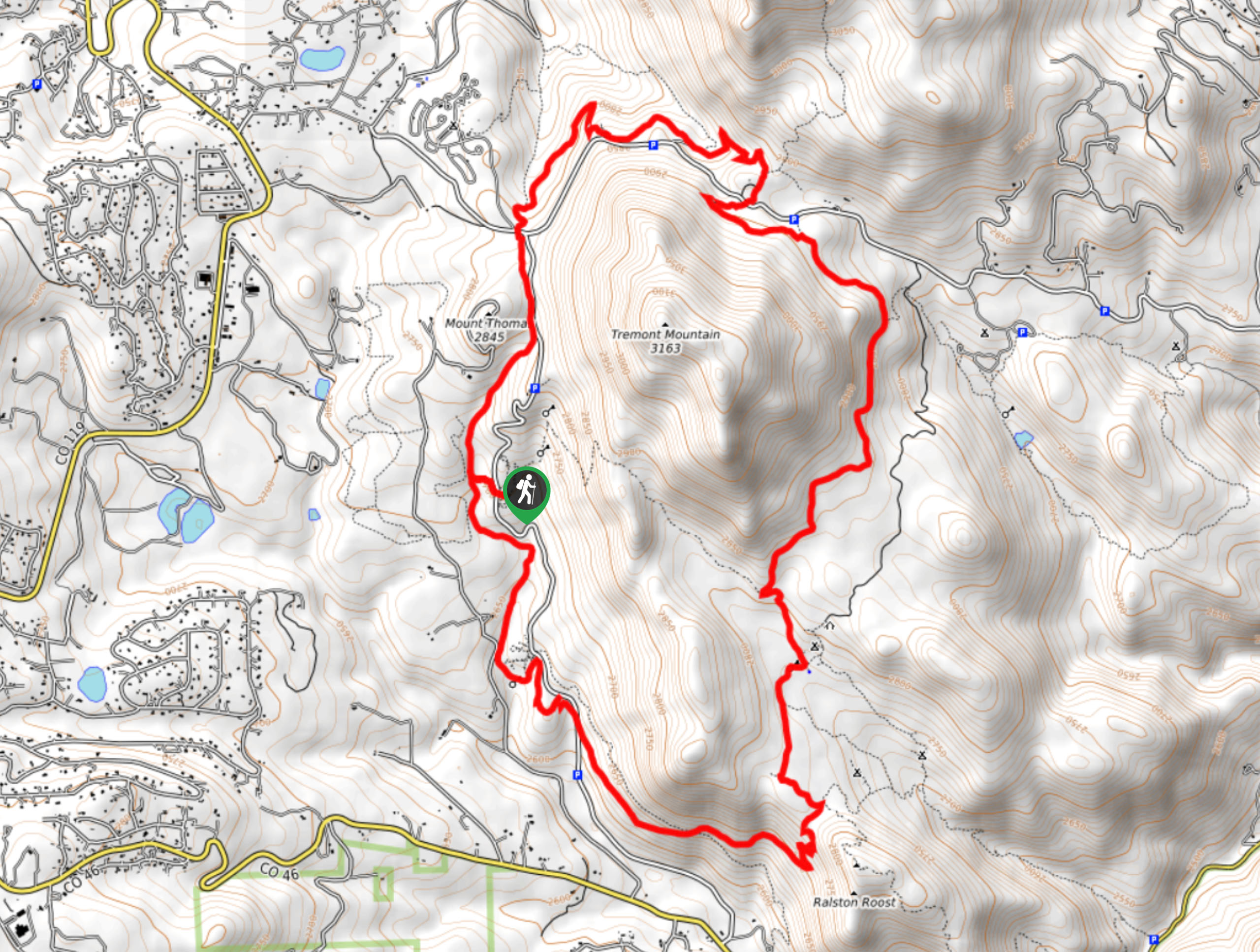
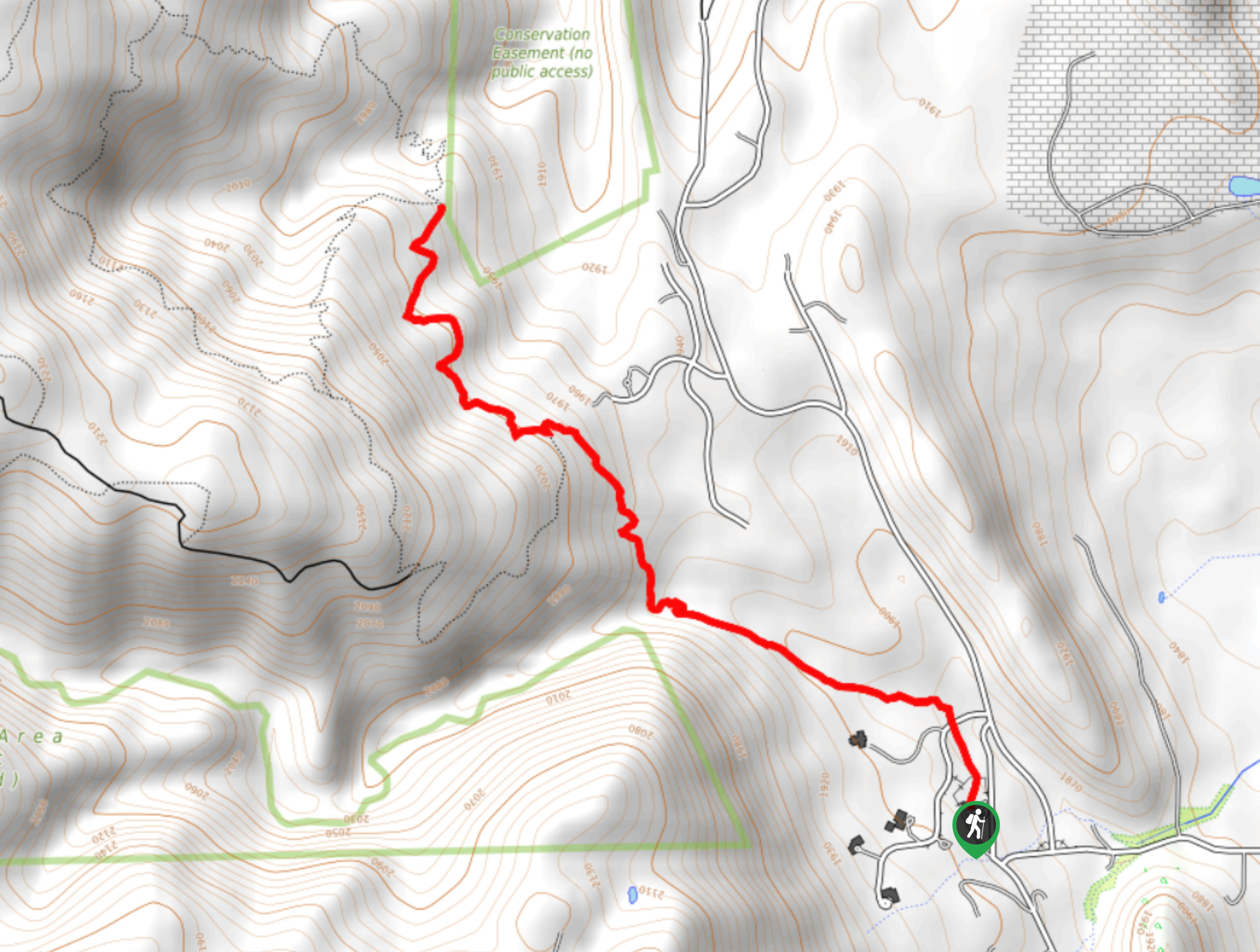
Mule Deer Trail
Difficulty Rating:
The Mule Deer Hike is an epic adventure that exhibits all the best ecosystems that Colorado has to offer. Travel through meadows laden with elk and deer, pine forestlands interspersed with aspens, and past stunning overlooks that reveal views of the snow-capped Front Range summits that line the horizon.
Getting there
The Mule Deer Trail departs from the Bootleg Bottom Picnic Area off Mountain Base Road.

About
| Backcountry Campground | Several Dispersed Campgrounds along the trail |
| When to do | May-October |
| Pets allowed | Yes - On Leash |
| Family friendly | Older Children only |
| Route Signage | Average |
| Crowd Levels | High |
| Route Type | Lollipop |
Mule Deer Trail
Elevation Graph
Weather
Mule Deer Trail Description
The Mule Deer Trail is a must-add to your Denver itinerary, no question about it. This charming and incredibly scenic path will leave you dumbfounded, just like it did to us. Though this versatile trail can be ventured year-round, we encourage you to hike it in the autumn for the best scenery when the aspens are at their peak vibrance, and the Front Range summits are snow-cloaked. As this hike travels through diverse landscapes, it is important to keep an eye out for wildlife, including bears and rattlesnakes! Note that because this path is located within the Golden Gate Canyon State Park, visitors are required to purchase a day pass which typically costs around $10USD.
Embark on your adventure around the Mule Deer Trail from the Bootleg Bottom Picnic Area. From here, take the Coyote Trail west over the Mountain Base Road. After crossing the road, you will meet an intersection. The loop hike can be completed from either direction, but we recommend taking the Mule Deer Trail south, and tracking counterclockwise. So, turn left and hike along the path past Hugh McCammon Barns and back over Mountain Base Road. Now hiking along the Lower Mule Deer Trail, you will meet an intersection with the Blue Grouse Trail. Keep left here and you will be diverted back onto the Mule Deer Trail.
This path will guide you up onto a luxuriant meadow, so make sure to keep an eye out for deer! Hike through the grassy plains, maintaining along the Mule Deer Trail as you curve around the base of Tremont Mountain. Follow the route over the Gap Road to Panorama Point, where you will be rewarded with epic views of the snow-capped Front Range peaks and foothills. Continue trekking this path, intersecting with the Gap Road again and you will be delivered back to the junction with Coyote Trail. From here, retrace your footing across Mountain Base Road to the trailhead.
Similar hikes to the Mule Deer Trail hike

Singletree and Mayhoffer Trail
The Singletree and Mayhoffer Trail is a scenic adventure that will guide adventurers through the lush meadowlands that reveal sights…

Mount Galbraith via Cedar Gulch Trail
The Mount Galbraith via Cedar Gulch Trail is a charming adventure near Golden, Colorado that reveals the beauty and diversity…
Belcher Hill and Whippletree Trail
The Belcher Hill and Whippletree Trail is an exciting adventure—how could it not be with a name like that? The…
Comments