Belcher Hill Trail
View Photos
Belcher Hill Trail
Difficulty Rating:
Immerse yourself in the Colorado wilderness and reconnect with nature along the Belcher Hill Trail. This stunning adventure is a popular mountain biking destination, but more and more hikers are discovering the hidden gem. This charming path will guide you through the arid terrain overlooking Colorado’s mountainous landscape.
Getting there
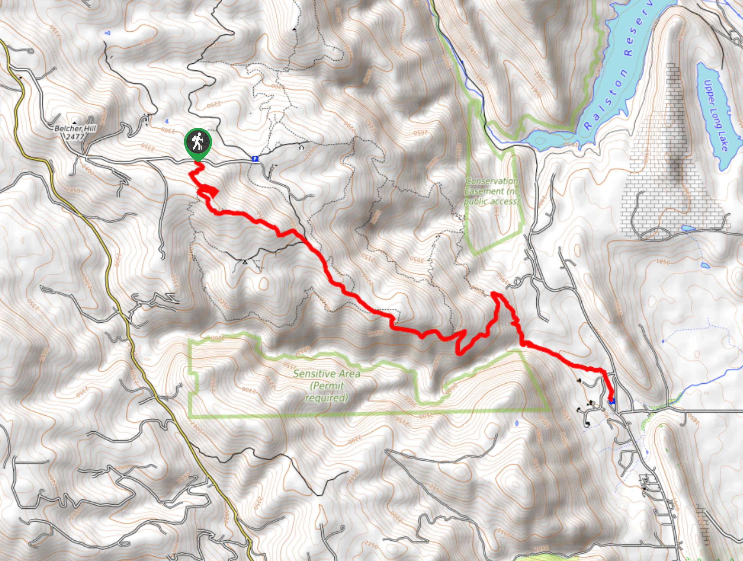
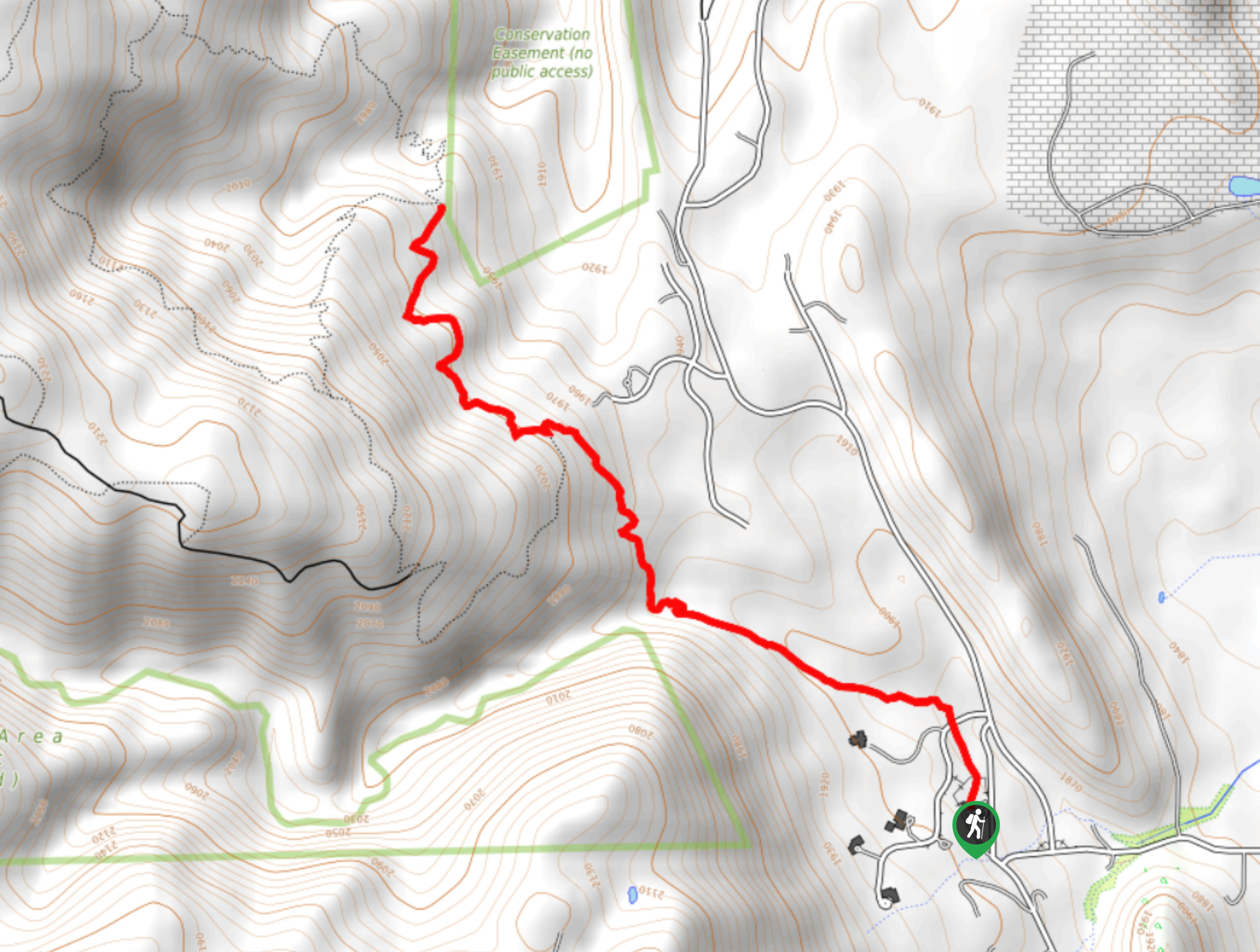
The Belcher Hill Trail departs from the trailhead off Pine Ridge Road.

About
| Backcountry Campground | No |
| When to do | March-November |
| Pets allowed | Yes - On Leash |
| Family friendly | Older Children only |
| Route Signage | Average |
| Crowd Levels | High |
| Route Type | Out and back |
Belcher Hill Trail
Elevation Graph
Weather
Belcher Hill Trail Description
The Belcher Hill Trail is a crowd-favorite, and we totally understand why. Frequented by locals and tourists alike, this path presents the opportunity to socialize while getting a workout in. What better way is there to be active than along an incredibly scenic trail? The exposure of the path warrants expansive views, but it can also be unbearably hot in the summer afternoons, so we suggest an early walk in the warmer months. It is also important to keep an eye and ear out for rattlesnakes as you travel the arid terrain. Note that you will be sharing this route with bikers, so keep an ear out for them as they whiz past.
The adventure along the Belcher Hill Trail begins from the trailhead. From here, track north along the Belcher Hill Trail. Shortly after your departure from the trailhead, you will cross over the Deer Meadow Trail before the route curves northwest. Ascend the exposed path and you will eventually enter the White Ranch Open Space Park. Hike through the park, maintaining along the Belcher Hill Trail. As you travel further into the wilderness, the path will become increasingly shaded by the towering pines.
Hike along this route all the way to the trail’s end at Belcher Hill Road. Take a break, rest, and refuel prior to beginning your return. When you are ready, simply retrace your footing along the path all the way back to the trailhead.
Similar hikes to the Belcher Hill Trail hike

Singletree and Mayhoffer Trail
The Singletree and Mayhoffer Trail is a scenic adventure that will guide adventurers through the lush meadowlands that reveal sights…

Mount Galbraith via Cedar Gulch Trail
The Mount Galbraith via Cedar Gulch Trail is a charming adventure near Golden, Colorado that reveals the beauty and diversity…
Belcher Hill and Whippletree Trail
The Belcher Hill and Whippletree Trail is an exciting adventure—how could it not be with a name like that? The…
Comments