Sourton and Meldon Reservoir Walk
View Photos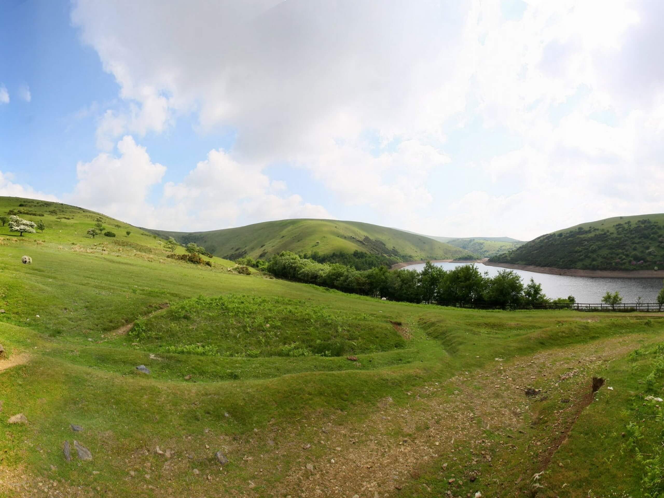
Sourton and Meldon Reservoir Walk
Difficulty Rating:
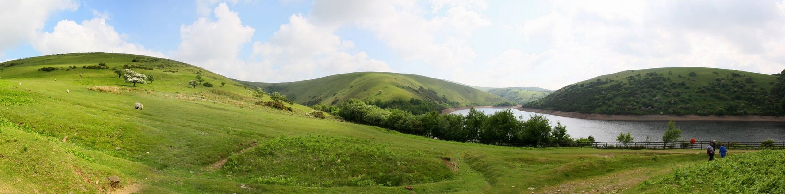
The Sourton and Meldon Reservoir Walk is a fun excursion on the western edge of Dartmoor National Park that will take you around a reservoir for some pleasant views. Along the trail, you will traverse the rugged terrain of the moor and traverse some fairly steep terrain before looping around Meldon Reservoir for views of the water and surrounding hills. This is a great route if you are up for a moderate challenge with scenic views.
Getting there
To reach the trailhead for the Sourton and Meldon Reservoir Walk from Tavistock, head east along Mount Tavy Road/A386 for 10.9mi and turn right to enter the parking area.

About
| When to do | March-November |
| Backcountry Campsites | No |
| Pets allowed | Yes - On Leash |
| Family friendly | Older Children only |
| Route Signage | Average |
| Crowd Levels | Moderate |
| Route Type | Lollipop |
Sourton and Meldon Reservoir Walk
Elevation Graph
Weather
Sourton and Meldon Reservoir Walk Description
Although the Sourton and Meldon Reservoir Walk has a few sections of steep uphill walking, overall it is a great route that can be enjoyed by both casual and experienced outdoor enthusiasts. Setting out from the village of Sourton, you will make your way to the southeast and climb up the slopes of Sourton Tors before turning to the northeast. From here, you will loop around Meldon Reservoir, enjoying the pleasant views across the water as you work through the undulating terrain of the surrounding area. After finishing this waterside portion of the walk, you will once again traverse the moor to the west on the return to the trailhead.
Similar hikes to the Sourton and Meldon Reservoir Walk hike

Shipley Bridge and Avon Dam Reservoir Walk
Located in the southern part of Dartmoor National Park, the Shipley Bridge and Avon Dam Reservoir Walk is a lovely…

The Sherlock Holmes Track
The Sherlock Holmes Track is a fun adventure in the southeast corner of Dartmoor National Park that will take you…

Ryder’s Hill via Sandy Way Trail
The Ryder’s Hill via Sandy Way Trail is a beautiful walking route in Dartmoor National Park that will lead you…
Comments