Lustleigh Cleave Walk
View Photos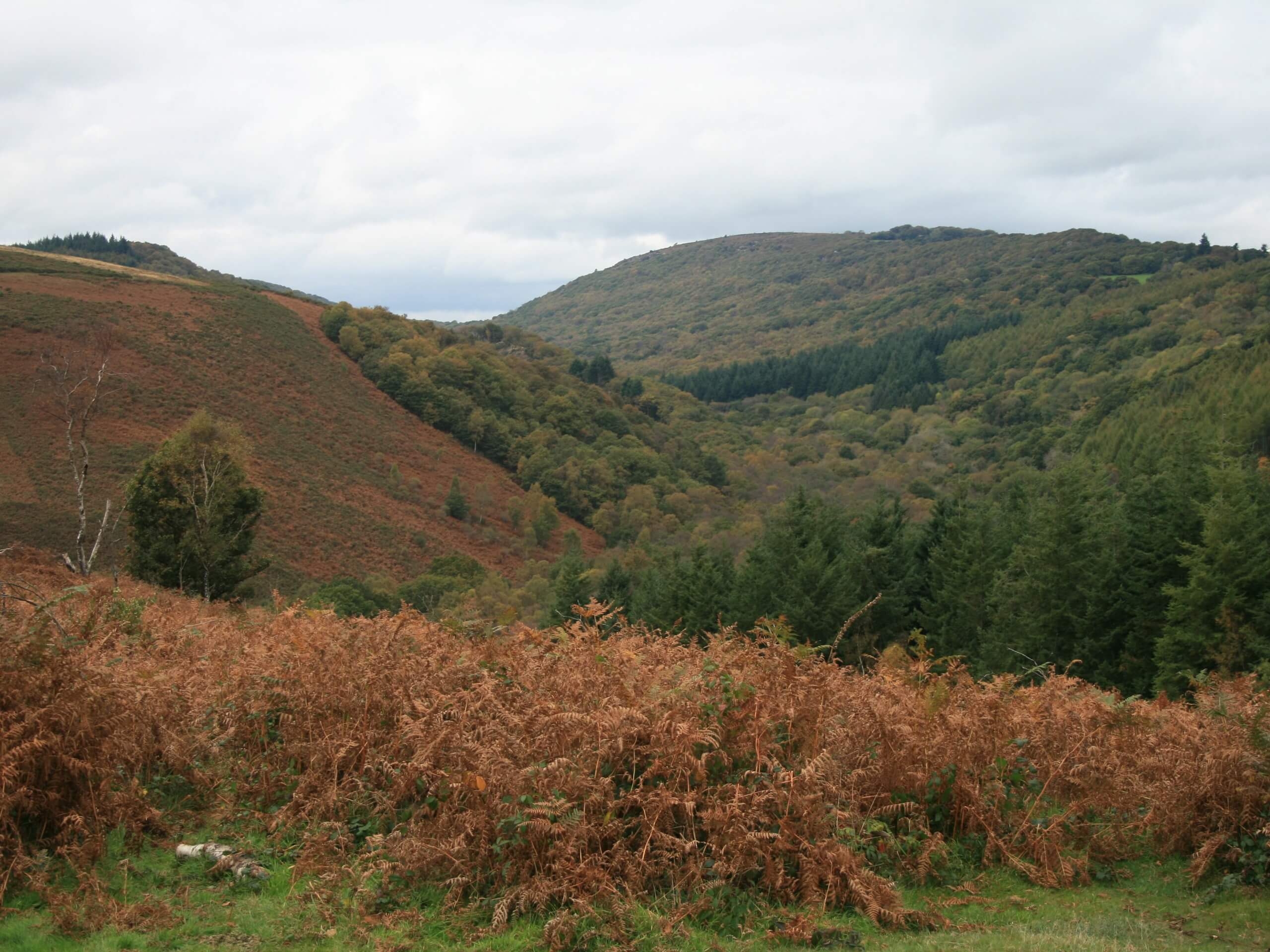
Lustleigh Cleave Walk
Difficulty Rating:
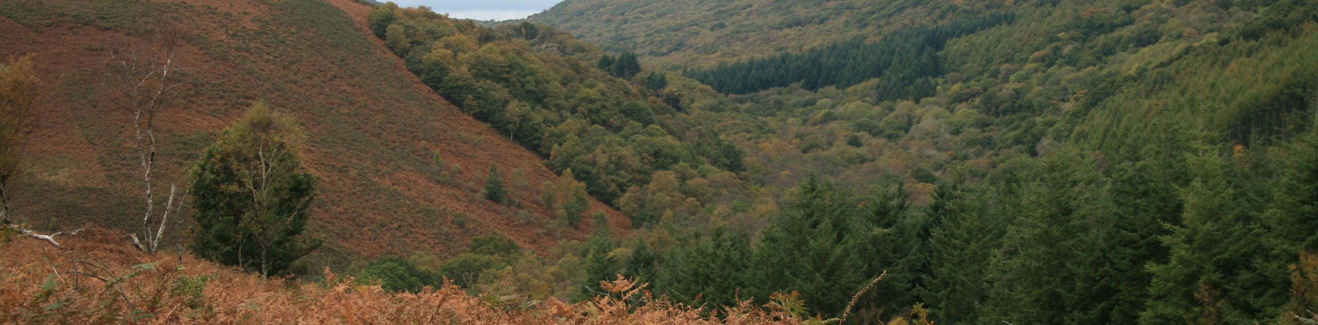
Walking the Lustleigh Cleave Trail is a great experience in Dartmoor National Park, as it takes you across some truly beautiful terrain for a fun adventure through the Devon countryside. While out on the trail, you will depart the village of Lustleigh and cross over the River Bovey to the southwest before looping through a scenic stretch of undulating forest terrain. This is a fantastic walk with some good elevation changes that can easily be enjoyed by casual and seasoned walkers alike.
Getting there
To reach the trailhead for the Lustleigh Cleave Walk from Bovey Tracey, head north on Monks Way for 2.9mi and turn left at Kelly Cross. Follow Knowle Road for 0.4mi and turn right onto Brookfield Road, continuing on for 0.2mi. Make a left at Caseley and keep on for 0.2mi, before turning left onto Rudge Hill to arrive at the trailhead.

About
| When to do | Year-Round |
| Backcountry Campsites | No |
| Pets allowed | Yes - On Leash |
| Family friendly | Older Children only |
| Route Signage | Average |
| Crowd Levels | Moderate |
| Route Type | Circuit |
Lustleigh Cleave Walk
Elevation Graph
Weather
Lustleigh Cleave Walk Description
The Lustleigh Cleave Walk is a fantastic outdoor excursion in the eastern portion of Dartmoor National Park that is perfectly suited for a fun family adventure, so long as everyone in your walking party is okay with a few climbs and descents along the way. Setting out from the village of Lustleigh, you will head to the southwest along the road and descend the hillside to cross over the River Bovey. From here, you will make your way to the northwest along the water’s edge and enjoy the peaceful forest setting before climbing back uphill towards the village of Manatan. Here, you will turn north and once again cross over the river, following the path east as it climbs back up the forested hillside on the return leg of the walk back to Lustleigh, where you can spend the afternoon exploring the charming village streets.
Similar hikes to the Lustleigh Cleave Walk hike

Shipley Bridge and Avon Dam Reservoir Walk
Located in the southern part of Dartmoor National Park, the Shipley Bridge and Avon Dam Reservoir Walk is a lovely…

The Sherlock Holmes Track
The Sherlock Holmes Track is a fun adventure in the southeast corner of Dartmoor National Park that will take you…

Ryder’s Hill via Sandy Way Trail
The Ryder’s Hill via Sandy Way Trail is a beautiful walking route in Dartmoor National Park that will lead you…
Comments