Trent Falls
View Photos
Trent Falls
Difficulty Rating:
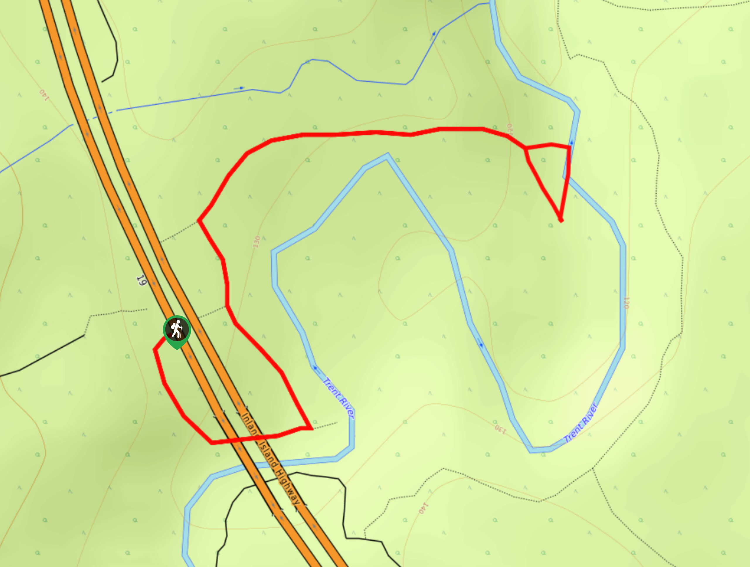
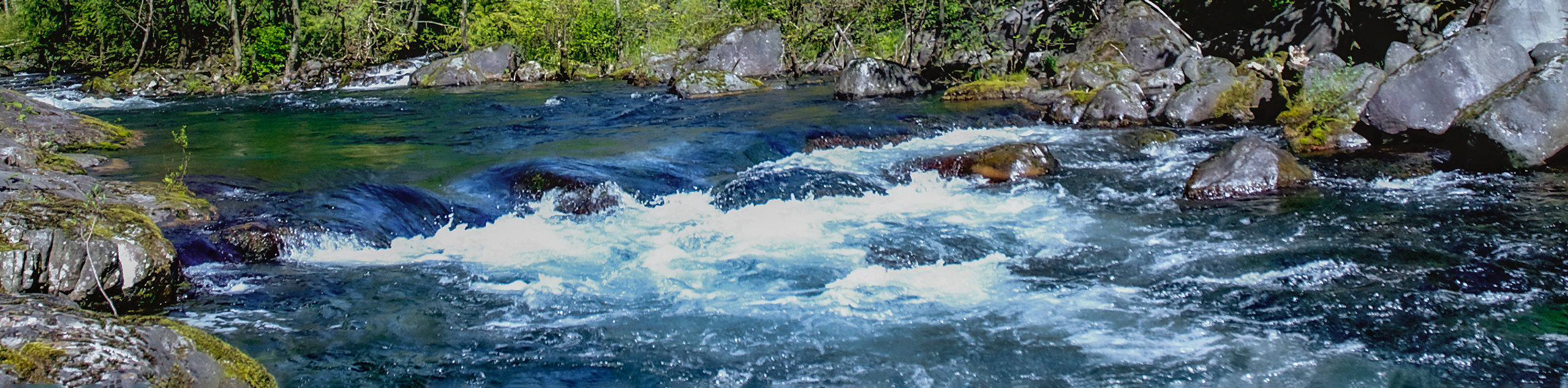
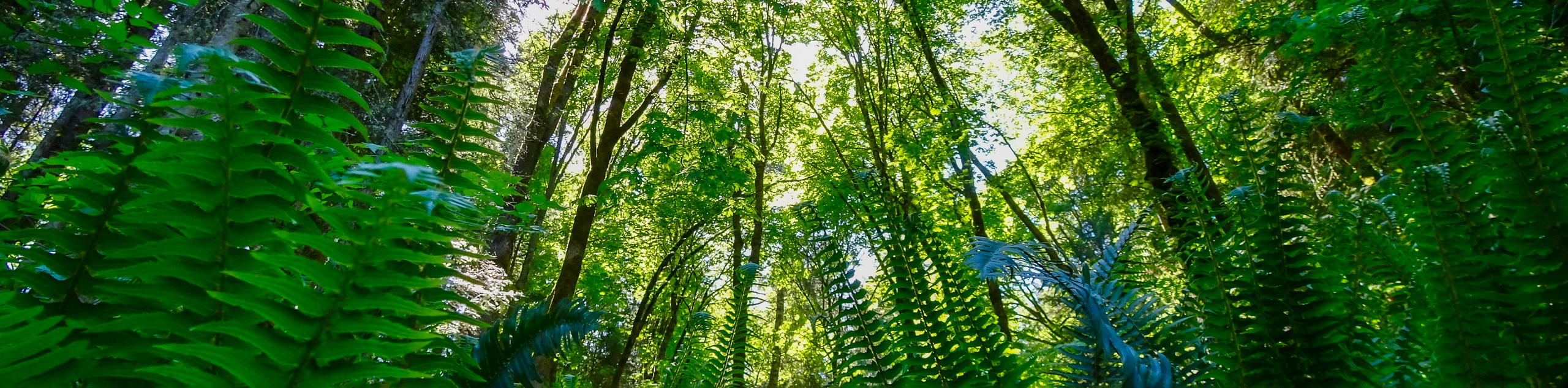
The hike to Trent Falls makes use of a 1.3mi out-and-back trail that follows closely alongside the Trent River to arrive at a beautiful cascading waterfall. Although the trail is perfectly suited for hikers of most skill levels, access to the falls requires navigating a slightly steep section of trail that might slow travel, as there are rope installations to help with the descent. Even so, this is a fantastic family-friendly adventure that will allow you to explore the temperate rainforest landscapes around Courtenay.
Getting there
To reach the Trent Falls trailhead from Courtenay, drive southwest on 29th Street for 180ft and continue straight for 3.2mi on the Comox Valley Parkway. Turn left to merge onto BC-19 and follow it for 2.5mi to find parking on the right side of the road.

About
| When to do | April-November |
| Backcountry Campsites | No |
| Pets allowed | Yes - On Leash |
| Family friendly | Yes |
| Route Signage | Average |
| Crowd Levels | Low |
| Route Type | Out and back |
Trent Falls
Elevation Graph
Weather
Trent Falls Trail Description
The close proximity of the Trent Falls to the highway makes it an easily accessible and popular route through the rainforest that produces some amazing views. Setting out from the parking area at the side of the highway, head south to make your way under the overpass and continue along the coursing river. The trail will wind through the beautiful rainforest atmosphere that is filled with the vibrant green colours of its diverse plant life before arriving at the roped section that will lead you down to the falls. Carefully make your way downhill to arrive at the cascading falls that spill over into the serene pool below. After exploring the area and taking in the views, make your way back along the same path to return to the Trent Falls trailhead.
Similar hikes to the Trent Falls hike
Campbell River Canyon View Trail
The Campbell River Canyon View Trail is a 3.0mi lollipop hiking route in Elk Falls Provincial Park that…
Seal Bay Horse and Bike Loop
The Seal Bay Horse & Bike Loop is an 5.4mi hiking circuit near Courtenay, BC that passes through…
Courtenay Riverway Heritage Park
Hiking the Courtenay Riverway Heritage Park Trail will take you along a 2.9mi lollipop hiking route that runs…
Comments