Courtenay Riverway Heritage Park
View Photos
Courtenay Riverway Heritage Park
Difficulty Rating:
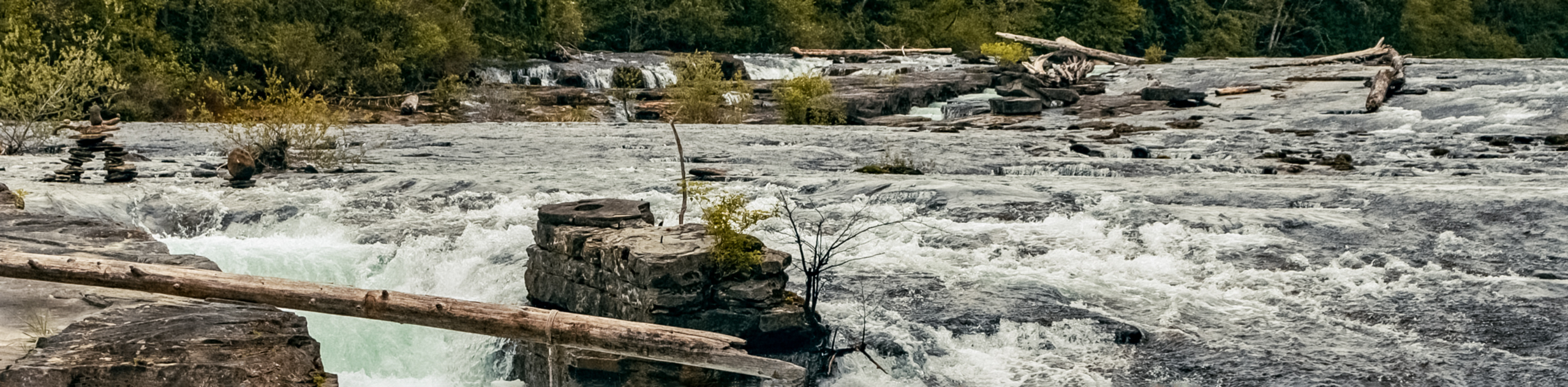
Hiking the Courtenay Riverway Heritage Park Trail will take you along a 2.9mi lollipop hiking route that runs parallel to the flowing waters of the Courtenay River. Along this trail you will experience a blend of urban and natural beauty as you make your way through the heart of the city towards Comox Harbour. This hike is a great way to get some exercise and experience scenic views, all without leaving the city.
Getting there
To reach the Courtenay Riverway Heritage Park trailhead from the Courtenay rail station, head north on Cumberland Road for 1476ft and continue straight onto 8th Street. After 1148ft, turn left onto Cliffe Avenue, following it for 427ft. Turn right onto 6th Street and you will find the trailhead on the right in 148ft.

About
| When to do | Year-round |
| Backcountry Campsites | No |
| Pets allowed | Yes - On Leash |
| Family friendly | Yes |
| Route Signage | Average |
| Crowd Levels | Moderate |
| Route Type | Lollipop |
Courtenay Riverway Heritage Park
Elevation Graph
Weather
Courtenay Riverway Heritage Park Trail Description
The Courtenay Riverway Heritage Park Trail is a family-friendly hiking route right in the heart of Courtenay that will allow you to experience the beauty and power of the Courtenay River as it flows into the Comox Harbour. Made up of well-maintained pathways that pass through stretches of urban and natural terrain, this hike is a great adventure that can be enjoyed by all.
The trail sets out from 6th Street and heads to the southeast, following closely along the western bank of the river. As you make your way along the trail, you will pass by several public parks including Simms Millennium Park, Standard Park, and Rotary Skypark. As you approach the end of the trail, you will come to the open waters of the Comox Harbour in front of you and the wilderness area of the Hollyhock Marsh to the east. After taking in the views, follow the trail as it loops around the Courtenay Airpark and heads back to the trailhead where you began your hike.
Similar hikes to the Courtenay Riverway Heritage Park hike
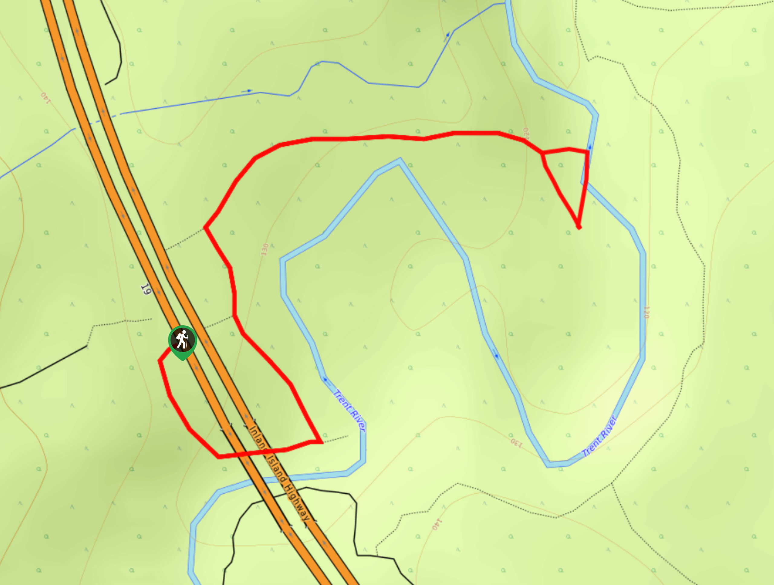
Trent Falls
The hike to Trent Falls makes use of a 1.3mi out-and-back trail that follows closely alongside the Trent…
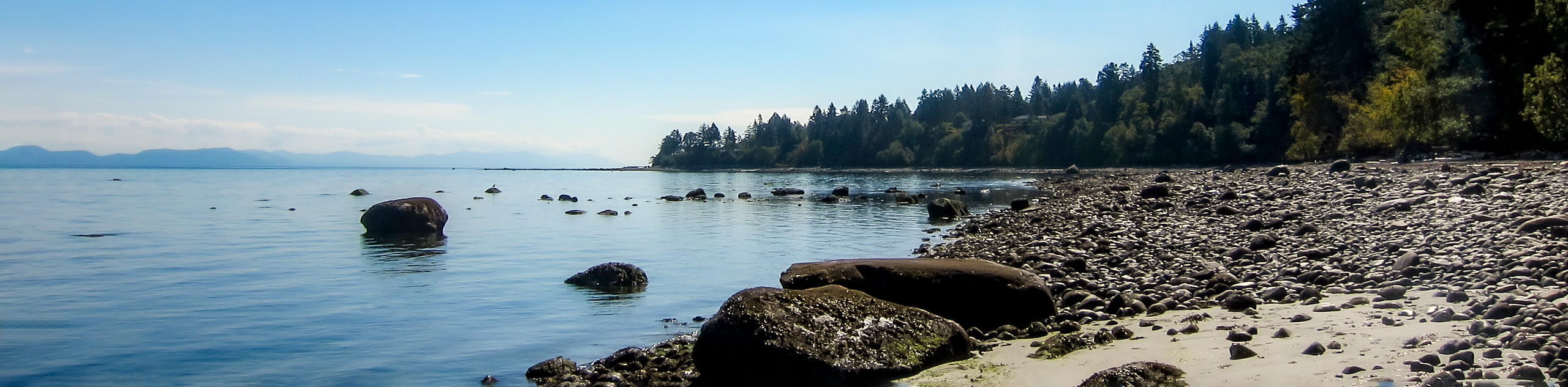
Seal Bay Beach Loop
The Seal Back Beach Loop is a 2.5mi hiking circuit in Courtenay, BC that passes through the amazing…
Nymph Falls Trail
The Nymph Falls Trail is a 1.6mi lollipop hiking route just west of Courtenay, BC that will take…
Comments