
Ripple Rock Trail
View Photos
Ripple Rock Trail
Difficulty Rating:
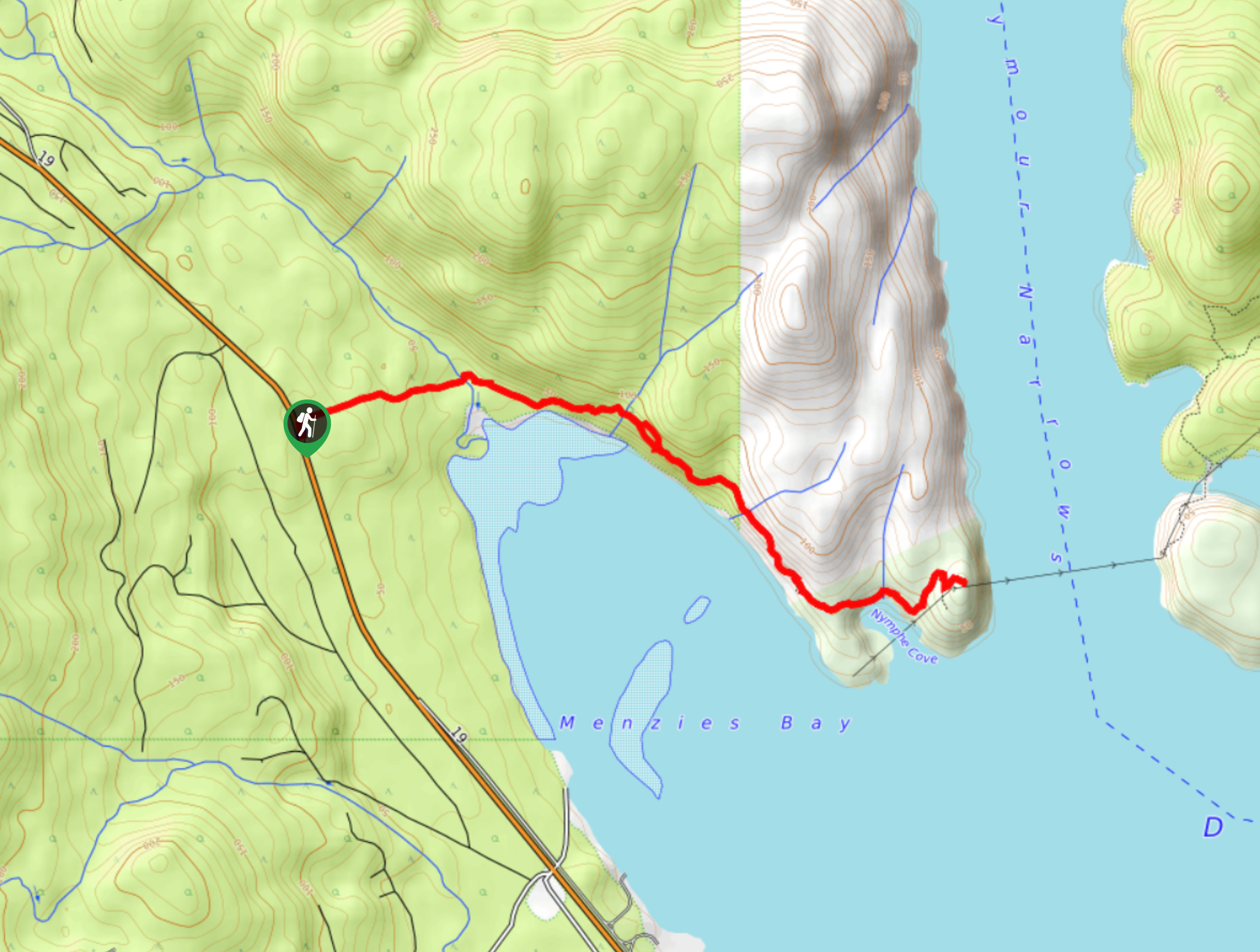
The Ripple Rock Trail is an 5.0mi out-and-back hiking route near Campbell River, BC that will take you out to a scenic lookout with views of Menzies Bay and the Seymour Narrows. In addition to featuring breathtaking scenery, this is also the historic site of one of the largest non-nuclear explosions in history, when the Canadian government reshaped the waterway to make it safer for ships to pass. Whether you are hiking the trail for the views or the history, the well-maintained and easy to navigate trails are sure to make this a pleasant hike for every member of your party.
Getting there
To reach the Ripple Rock trailhead from Campbell River, drive north along BC-19 for 10.0mi and turn right to enter the parking area. The trailhead is located at the north end of the parking lot.

About
| When to do | April-November |
| Backcountry Campsites | No |
| Pets allowed | Yes - On Leash |
| Family friendly | Older Children only |
| Route Signage | Good |
| Crowd Levels | Moderate |
| Route Type | Out and back |
Ripple Rock Trail
Elevation Graph
Weather
Ripple Rock Trail Description
As the area is a popular hiking and sightseeing destination, parking at the Ripple Rock trailhead can be a bit limited during peak hours and on weekends. Make sure to arrive early enough to secure parking and enjoy the trail without a large number of other hikers. Additionally, the trail can be a bit muddy during the shoulder seasons, so make sure to wear good footwear to have the best footing while out on the trail.
In addition to offering some amazing vantage points from which to view the scenic coastal landscape, Ripple Rock is also the site of one of the largest non-nuclear explosions in history. The mountain used to have two peaks that protruded up out of the water in the Seymour Narrows that created hazardous eddies due to the strong tidal currents. Because of the threat to passing ships, the government decided to destroy the protruding peaks in 1958 by means of a large explosion that was filmed as one of the first nationwide television broadcasts in Canada. This is a great hiking route with well-maintained and marked trails that can be enjoyed by all, especially those keen on visiting the historic site.
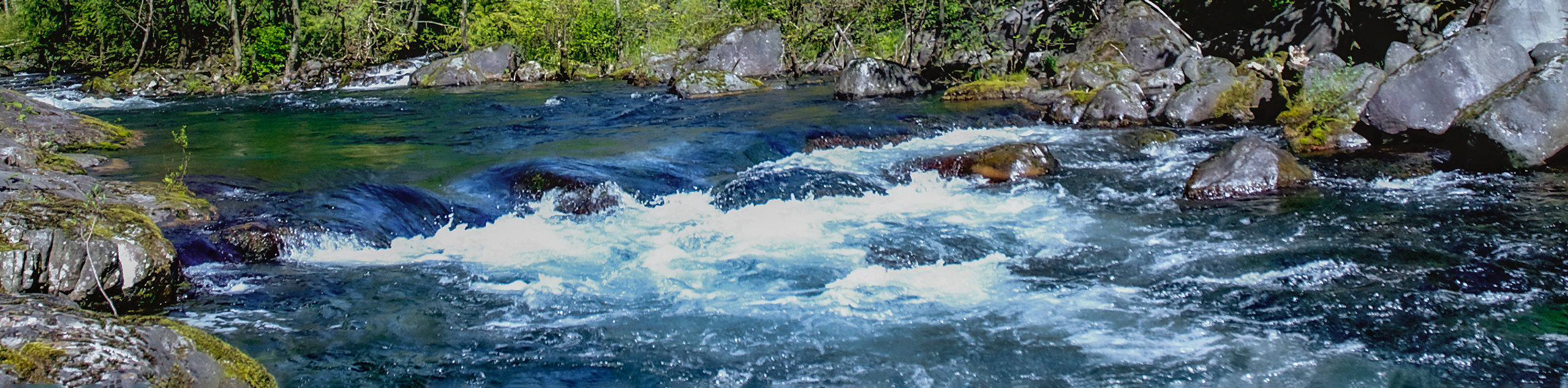
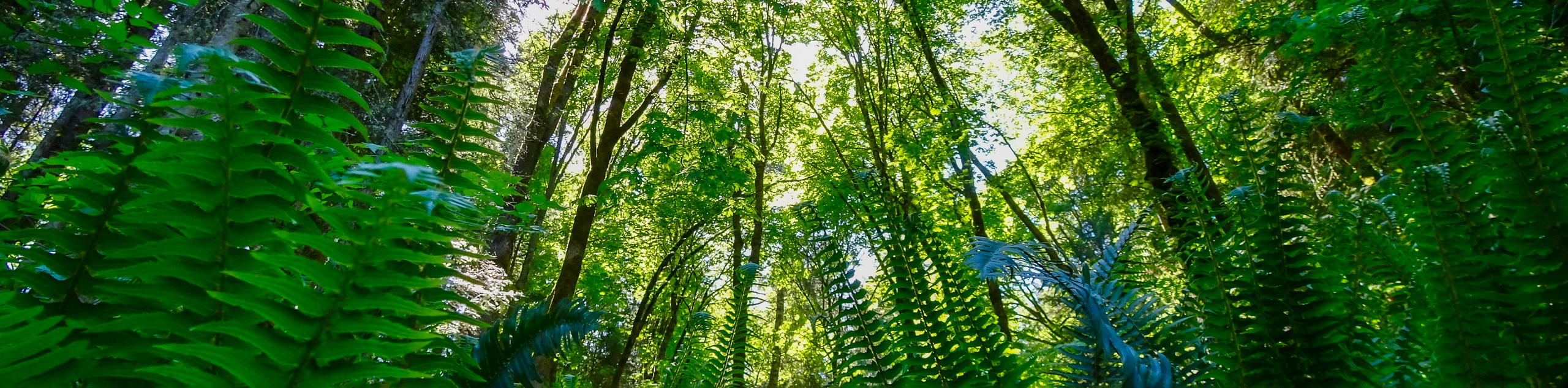
Setting out from the trailhead, follow along the path as it heads to the east and enters into the forest. The route is very well-marked, so you won’t need to worry about losing your way. This initial part of the hike will see you descend slightly before crossing over Menzies Creek. After roughly 0.7mi of hiking through the beautiful forest, you will arrive at the first lookout point along the trail that offers a scenic view that stretches out across the waters of Menzies Bay.
Continuing along the trail, follow it through the tree cover as it winds along the coast and provides intermittent views across the blue water. About 1.6mi from the first lookout point, you will arrive at the tip of Wilfred Point, a bluff overlooking the Seymour Narrows and the site where the remnants of Ripple Rock lay below the surface of the water. Take some time to explore the area, breathe in the fresh coastal air, and look out across the rugged landscape of Quadra Island before heading back along the same trail through the forest to return to the Ripple Rock trailhead.
Insider Hints
Arrive early to secure parking and have the trail to yourself.
Wear waterproof footwear if you have it, as the trail can be muddy.
Similar hikes to the Ripple Rock Trail hike
Campbell River Canyon View Trail
The Campbell River Canyon View Trail is a 3.0mi lollipop hiking route in Elk Falls Provincial Park that…
Trent Falls
The hike to Trent Falls makes use of a 1.3mi out-and-back trail that follows closely alongside the Trent…
Seal Bay Horse and Bike Loop
The Seal Bay Horse & Bike Loop is an 5.4mi hiking circuit near Courtenay, BC that passes through…
Comments