
Beauvais Lake Trail hike
View Photos
Beauvais Lake Trail hike
Difficulty Rating:
Hiking the Beauvais Lake trail is a great way to spend a half day with the family. The trail is straightforward and has many alternate options that allow you to shorten or lengthen the distance. You will start and end at a popular day use area that has plenty of amenities. Enjoy a day out with the family in the Beauvais Lake area.
Getting there
To get to Beauvais Lake trail, begin in Pincher Creek and join Highway 507. Travel westbound for 6.2mi before turning onto AB-775 S for 5.0mi. This road ends at Beauvais Lake. You will find the public parking area for the trail just before the lake on the right.

About
| When to do | May-October |
| Backcountry Campsites | No |
| Pets allowed | Yes - On Leash |
| Family friendly | Older Children only |
| Route Signage | Average |
| Crowd Levels | Moderate |
| Route Type | Circuit |
Beauvais Lake Trail
Elevation Graph
Weather
Beauvais Lake Trail Description
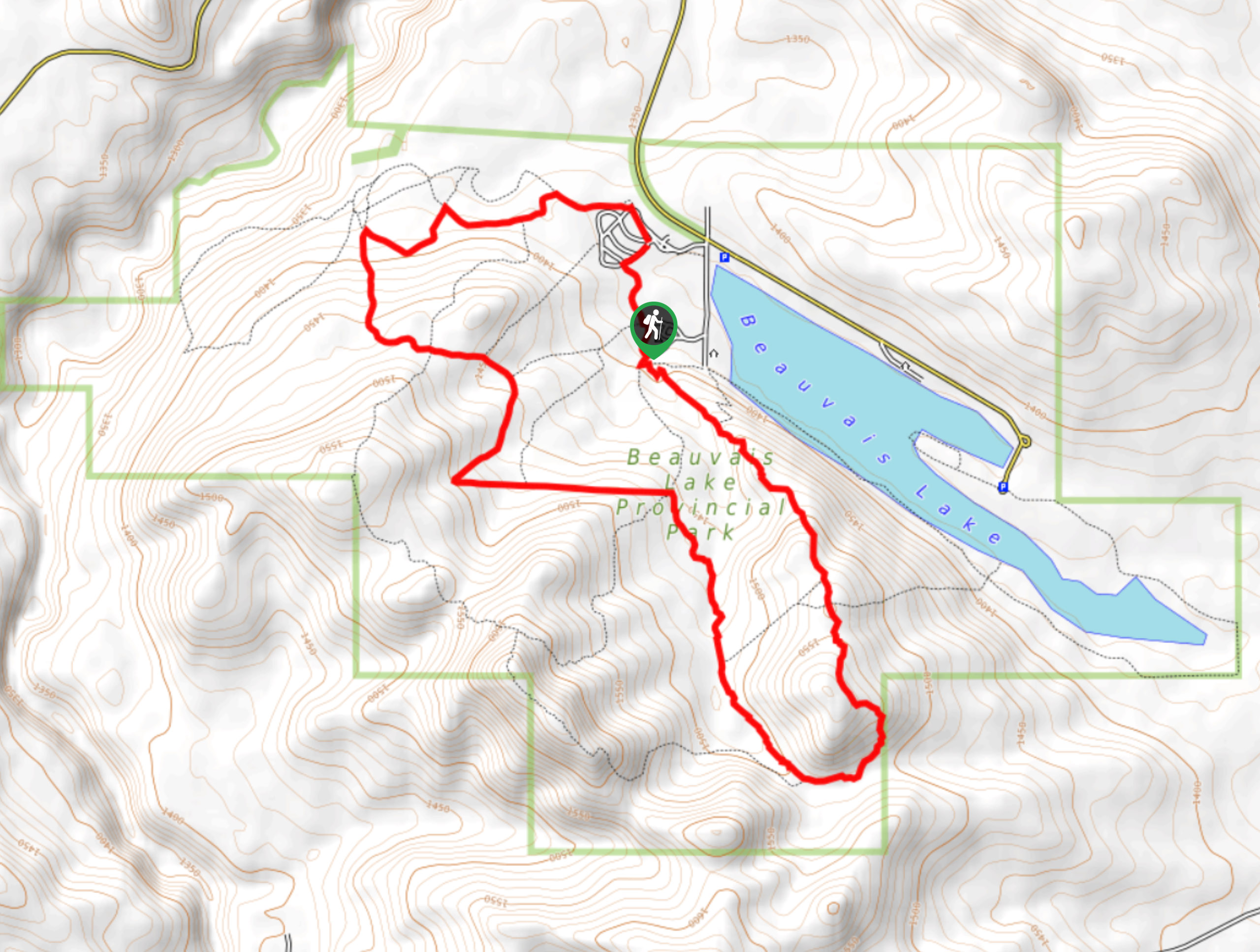
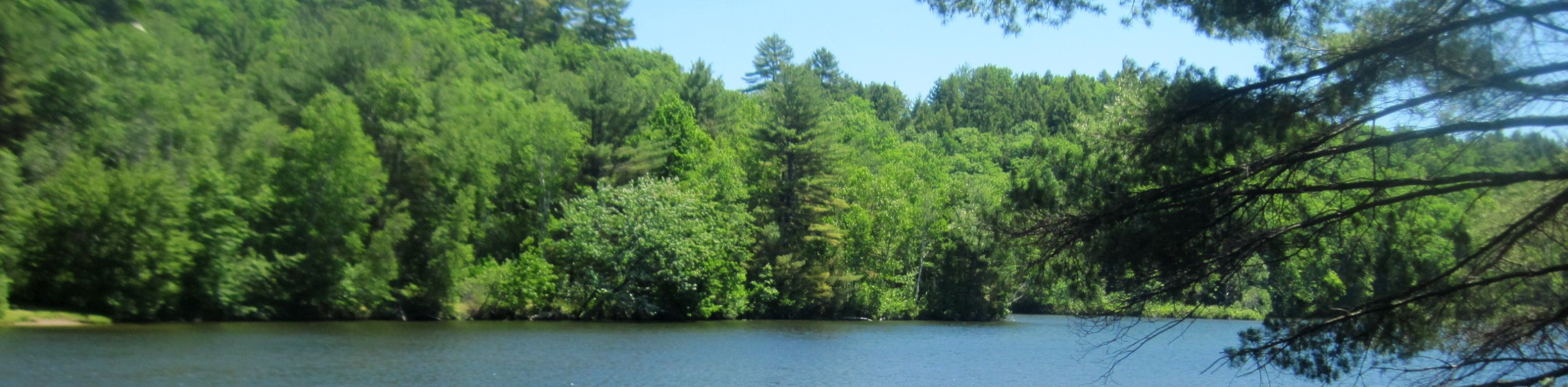
Hiking the Beauvais Lake Trail is a beautiful way to spend a few hours when visiting the provincial park. This is an easygoing trail perfect for families and beginner hikers. There are often stunning wildflowers in the height of summer, and the forested trail provides a sense of solitude from the busy day-use area.
The Beauvais Lake Trail begins near the public washrooms at the central park area. Head north through the main day-use area towards the playground where you will join the trail. Early on, you will pass some junctions on both sides of the trail that add small sections through the forest. Stay on the main trail, however, if you do choose to follow one of the junction trails, you will be rerouted to the main trail in time.
In 1.1mi, the trail begins to curve, creating a loop. 0.6mi after the initial curve, the forest opens up, providing some excellent views of the surrounding area. There will be a junction to your left here that leads directly back to the park if your group decides to shorten the trip. There are more opportunities further ahead to head back early on trails veering off to the left.
Continue on travelling through open meadows with mountain views. At 3.7mi, you will begin to loop back towards the lake itself and the parking area. There will be incredible viewpoints here and great photo opportunities. You’ll pass by the Homestead group campground at 5.3mi, where you will continue 2625ft to the end point of the trail.
This trail is a simple multi-use option when visiting the Beauvais Lake area. It makes for a memorable family outing and takes roughly 2-3 hours to complete.
Insider Hints
Have a good look at the map if you would like to shorten the distance of this route or create an alternate route.
Bring a camera and be ready for photo opportunities. Many clearings and viewpoints offer lovely vistas
Plan to head to the lake for a dip and a picnic after your hike!
Similar hikes to the Beauvais Lake Trail hike
Piney Point Trail
The Piney Point Loop trail is a moderately trafficked trail from the Beauvais Lake day use area. There are many…
Coal Miners Lake
Coal Miners Lake is a great half day hike close to Crowsnest, Alberta. The moderate route is excellent for families.…
Trail of Seven Bridges
The Trail of Seven Bridges is more popular with OHV users as it is a multi-use trail. You will run…
Comments