Hickman Bridge Trail
View Photos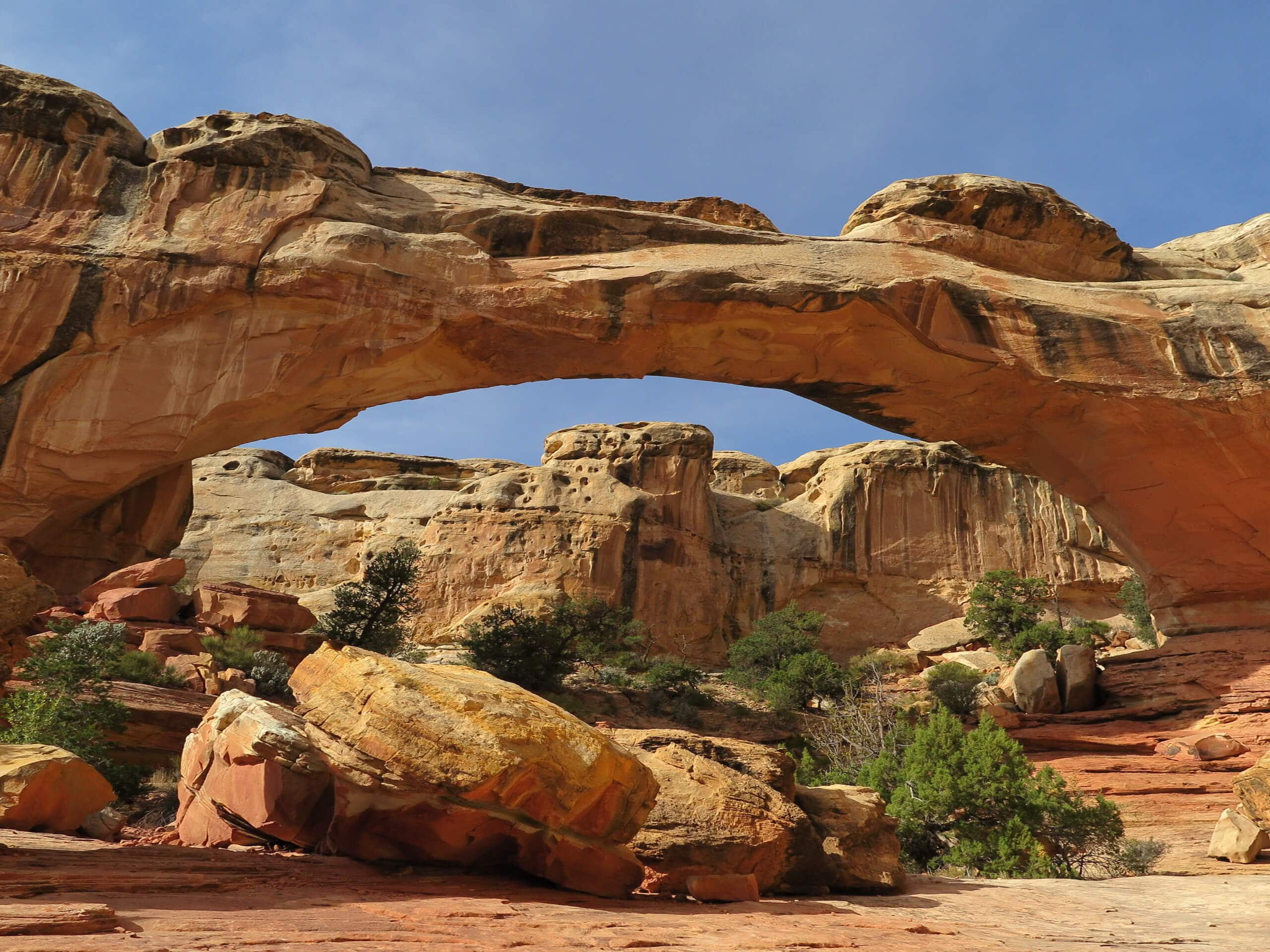
Hickman Bridge Trail
Difficulty Rating:
The Hickman Bridge Trail is one of the most popular hiking routes in Capitol Reef National Park. This trail leads you to, you guessed it, the Hickman Bridge: an incredible formation of kayenta sandstone that spans 133ft across. This hike is family-friendly and a great way to get out and learn about the incredible history of Capitol Reef National Park.
Getting there
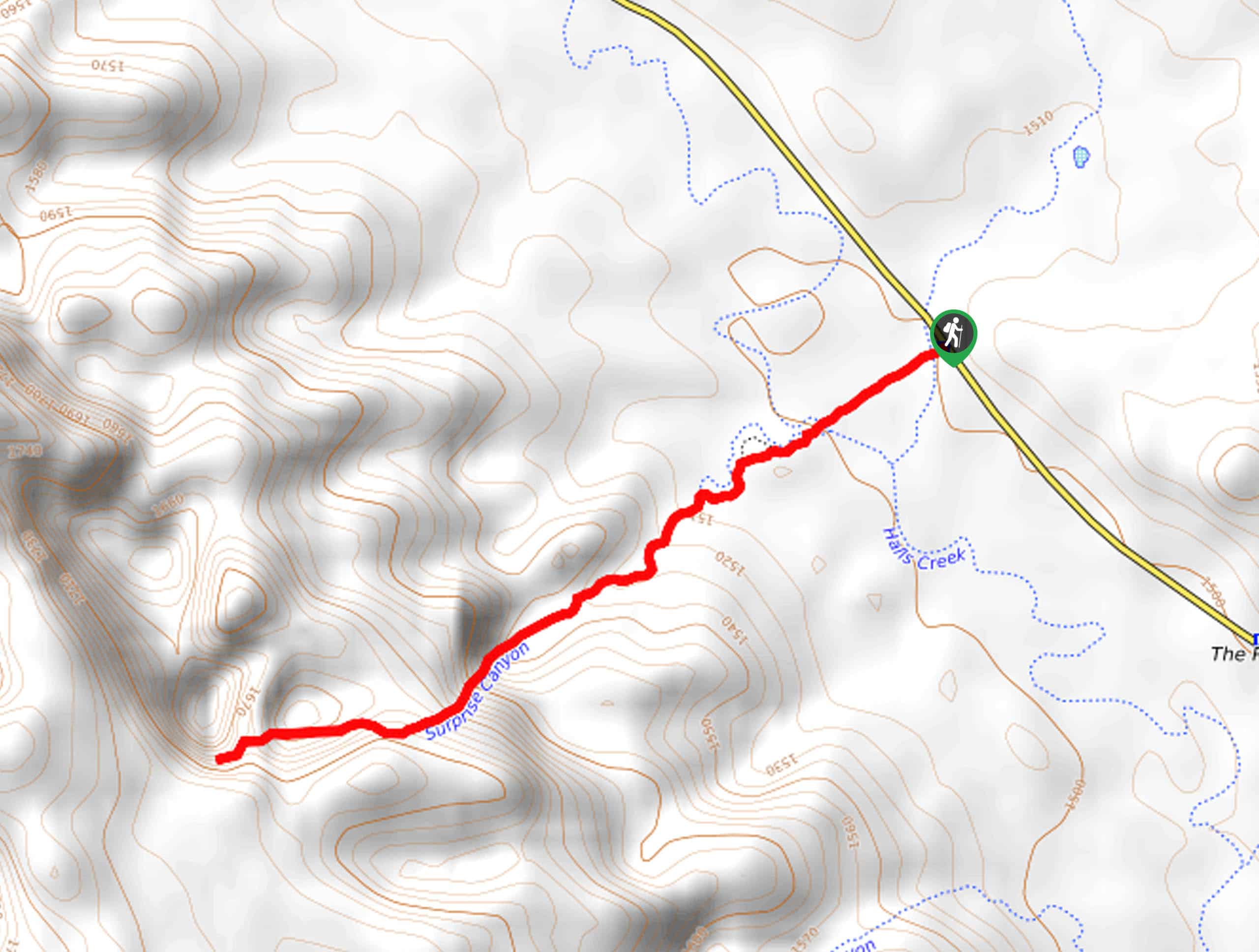
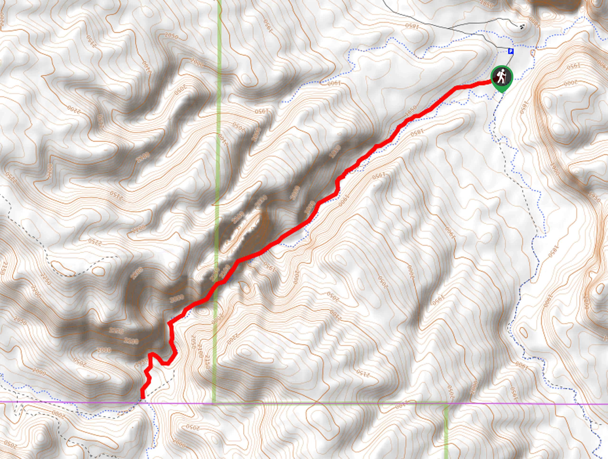
This trail begins at the Hickman Bridge Trailhead, 2.0mi east of the Capitol Reef Visitors Center on highway 24.

About
| Backcountry Campground | No |
| When to do | March to November |
| Pets allowed | No |
| Family friendly | Yes |
| Route Signage | Average |
| Crowd Levels | High |
| Route Type | Lollipop |
Hickman Bridge Trail
Elevation Graph
Weather
Hickman Bridge Trail Description
The Hickman Bridge Trail is one of the most iconic hikes in Capitol Reef National Park. This hike is extremely popular, so we recommend heading out early in the morning to beat the crowds. This trail begins with a moderate incline up a sandy surface so bring along hiking poles if you’d like some support for that section.
Overall, the Hickman Bridge trail is a great, family-friendly hike with lots of opportunities to learn about Capitol Reef National Park. This hike takes you past the remains of a granary and a pithouse that were built by the Fremont people who inhabited this area between 300 and 1300 CE. It also brings you past a smaller natural bridge: the Nels Johnson Bridge, and sandstone formations filled with solution cavities: holes in the rock created by acidic groundwater. The Hickman Bridge trail then loops around at the main attraction: Hickman Bridge, an incredible sandstone formation that stands 125ft high and spans 133ft across. If you are looking for more info about this geology hike, you can pick up a highly informative trail brochure at the trailhead.
From the Hickman Bridge Trailhead, follow the path up for 0.2mi to the pithouse remains on the right side of the trail. After checking this out, continue up the trail to a divide, take a left and continue for another 0.4mi past the Nels Johnson Natural Bridge and the granary site to another divide. This divide marks the beginning and end of a loop past the Hickman Bridge. Take a right at this divide to follow the trail counterclockwise to the bridge and back.
Once you’ve completed the loop, simply follow the main trail back down to the trailhead. If you are looking for more to do in the area, check out the Rim Overlook Trail, a fantastic route that shares the same trailhead.
Trail Highlights
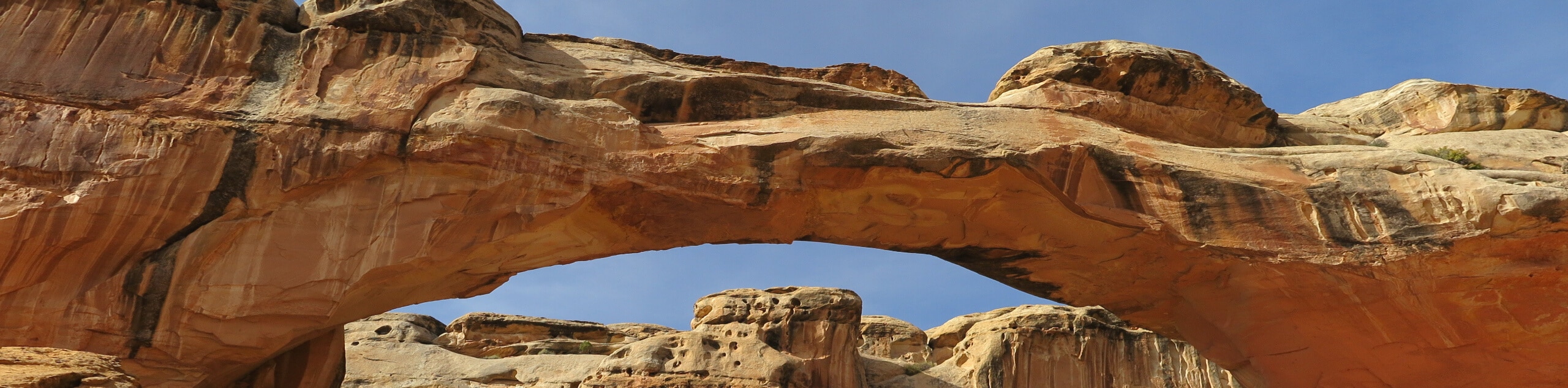
Hickman Bridge
The Hickman Bridge is an incredible natural formation that spans 133.0mi and stands 125.0mi high. This arch was formed by water eroding softer layers of Kayenta Sandstone. The Hickman Bridge is named after Joseph Hickman, a high school principal and local legislator who advocated for the protection of this area back in the early 1900s.
Fremont Ruins
The Fremont People were a culture of hunters and farmers who lived around the Fremont River and beyond in 300-1300 CE. Artifacts left by these ancient peoples include baskets and moccasins as well as pithouses and granaries such as the ones seen along the Hickman Bridge Trail.
Frequently Asked Questions
What type of rock is Hickman Bridge made of?
The Hickman bridge is made of Kayenta Sandstone.
Insider Hints
This is a popular trail—arrive early in the morning to beat the crowds
Pick up a brochure at the trailhead to learn more about the area’s natural and anthropological history
Similar hikes to the Hickman Bridge Trail hike
Goosenecks and Sunset Point Trail
The Goosenecks and Sunset Point trail is a must-do hike in Capitol Reef National Park. This short trail is relatively…
Surprise Canyon Trail
The Surprise Canyon Trail is a low-traffic hike down a beautiful canyon in Capitol Reef National Park. This out-and-back hike…
West Pleasant Creek Trail
The West Pleasant Creek Trail is a beautiful out-and-back hike along a very pleasant creek that runs year-round. This area…
Comments