Capitol Gorge to Tanks Trail
View Photos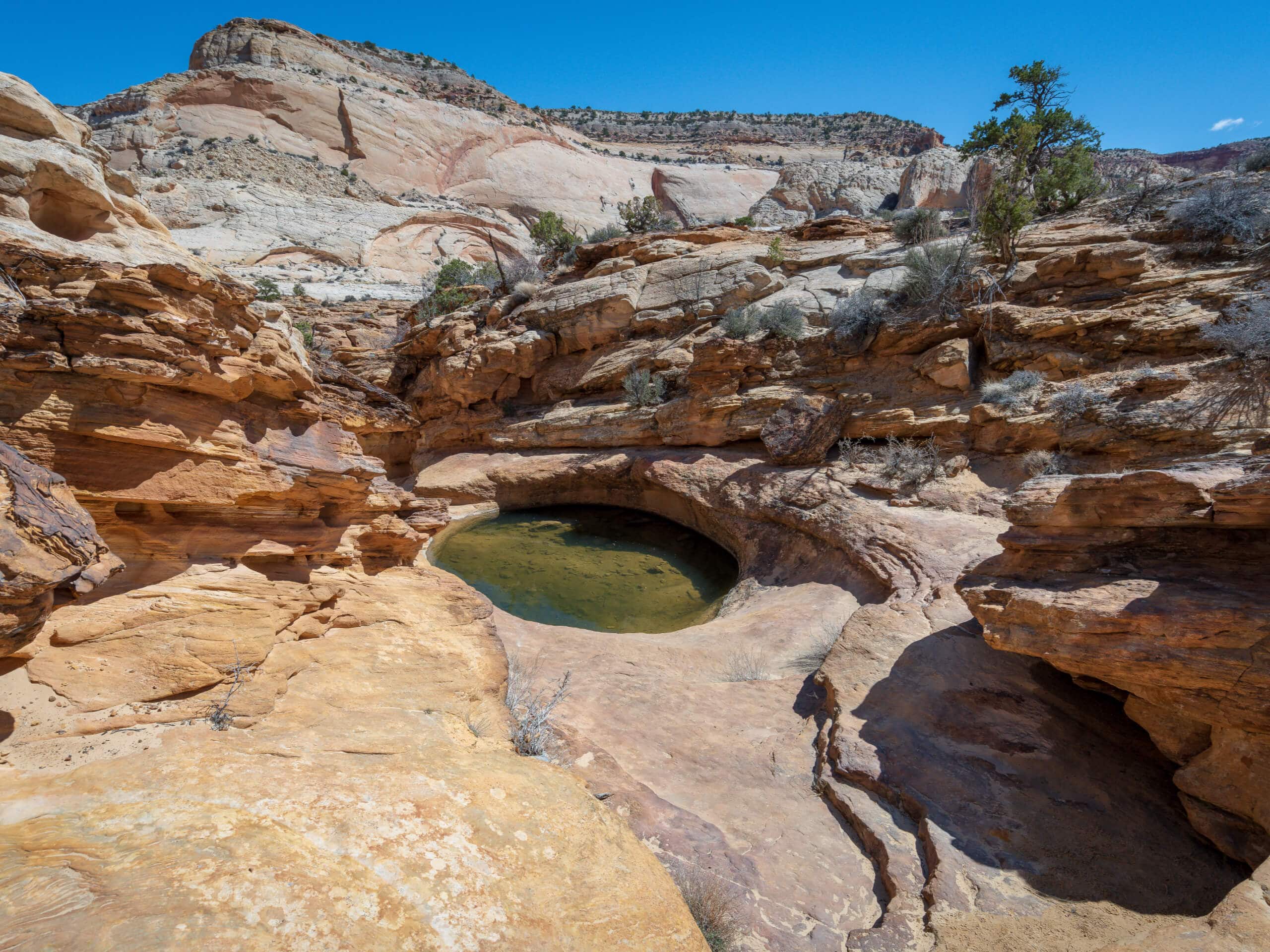
Capitol Gorge to Tanks Trail
Difficulty Rating:
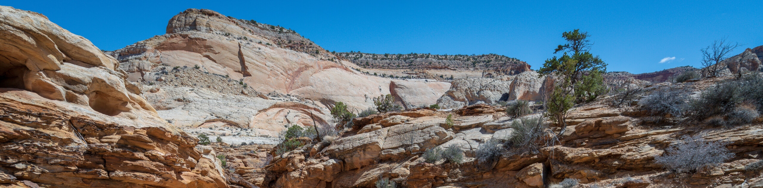
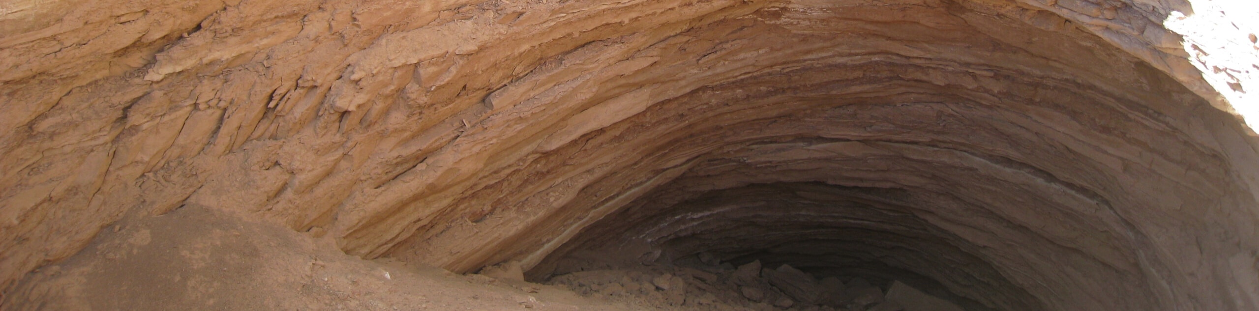
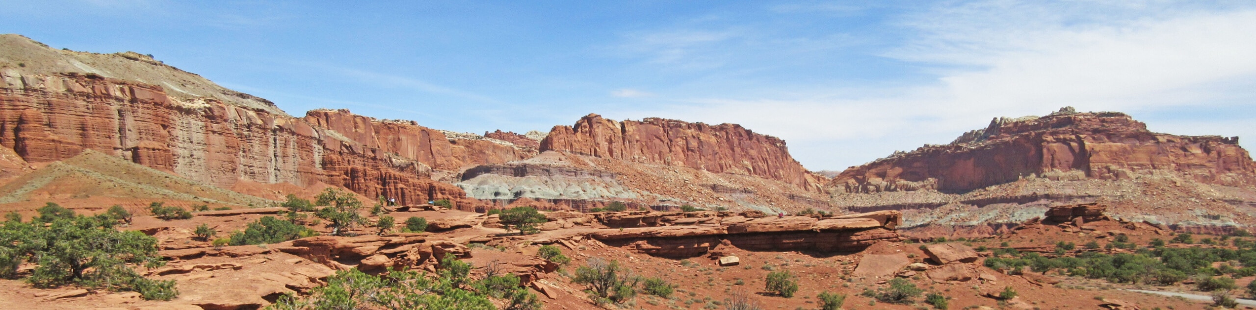
The Capitol Gorge Tanks Trail is a great hike with fascinating features both natural and human-made. This hike will lead you past the pioneer registers: names of early settlers carved into the rock. You will also pass ancient petroglyphs and pictographs left by the Indigenous people of this area. Finally, this hike will lead you to a series of natural water tanks, or “Tinajas”, large, deep pools that are home to aquatic invertebrates.
Getting there
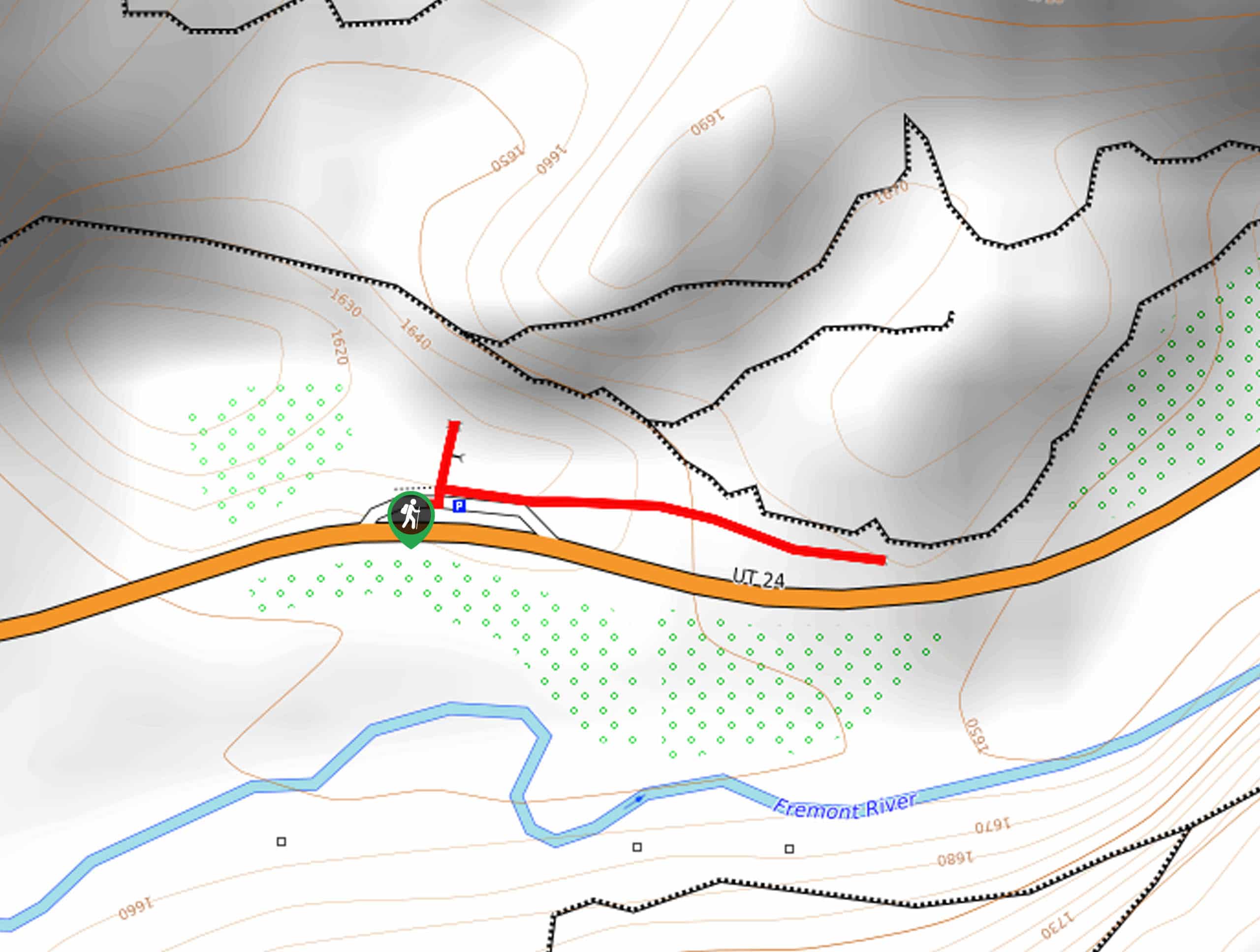
This trail begins at the Capitol Gorge Trailhead at the end of Capitol Gorge Road.

About
| Backcountry Campground | No |
| When to do | March to November |
| Pets allowed | No |
| Family friendly | Yes |
| Route Signage | Average |
| Crowd Levels | Moderate |
| Route Type | Lollipop |
Capitol Gorge to Tanks Trail
Elevation Graph
Weather
Capitol Gorge to Tanks Trail Description
The Capitol Gorge Tanks Trail is a lovely hike that features petroglyphs, pictographs, pioneer etchings, and natural water tanks in Capitol Reef National Park. This trail gets hot in the afternoon sun, so be sure to bring along a good sunhat, and lots of water for everyone in your hiking party. When you are walking along see if you can spot the faded petroglyphs and pictographs as well as the names of early pioneers etched in the wall. Please be respectful of these historical pieces, do not touch or lean against the petroglyphs and do not leave any markings of your own along the trail. The water tanks, or Tinajas, at the end of this trail are home to aquatic invertebrates including insects and crustaceans—see how many critters you can spy living in this cool formation.
From the trailhead, follow the path eastward. The trail will divide approximately one mile in, take a left to hike over to the water tanks.
Follow the little loop to the tanks before heading back the way you came. If you want to do some more exploring, you can take a right at the trail divide to continue hiking along the Capitol Gorge Trail.
Similar hikes to the Capitol Gorge to Tanks Trail hike
Gypsum Sinkhole
The Gypsum Sinkhole Trail is a short and easy hike to a massive sinkhole in Capitol Reef National Park. This…
Capitol Reef Petroglyph Trail
The Capitol Reef Petroglyph Trail is a short hike to beautifully preserved petroglyphs just across the road from Fruita. This…
Panorama Point Trail
The Panorama Point Trail is a very short hike to an incredible viewpoint. This trail is flat and family-friendly. From…
Comments