Tenderfoot Trail
View Photos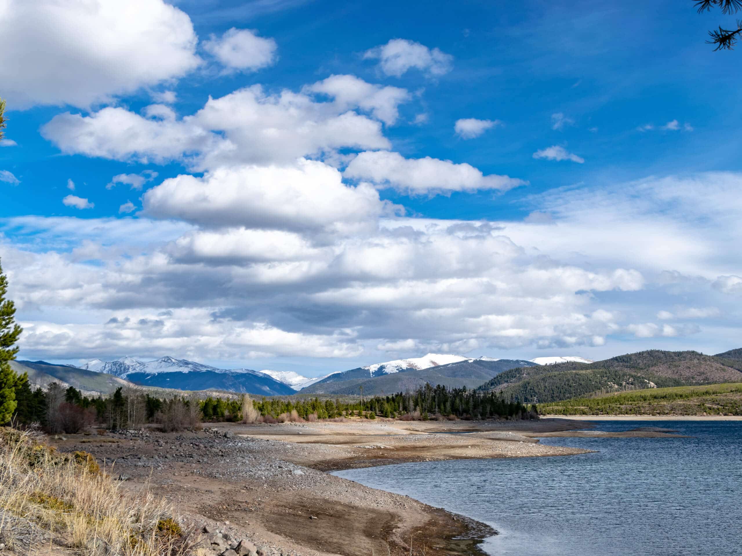
Tenderfoot Trail
Difficulty Rating:
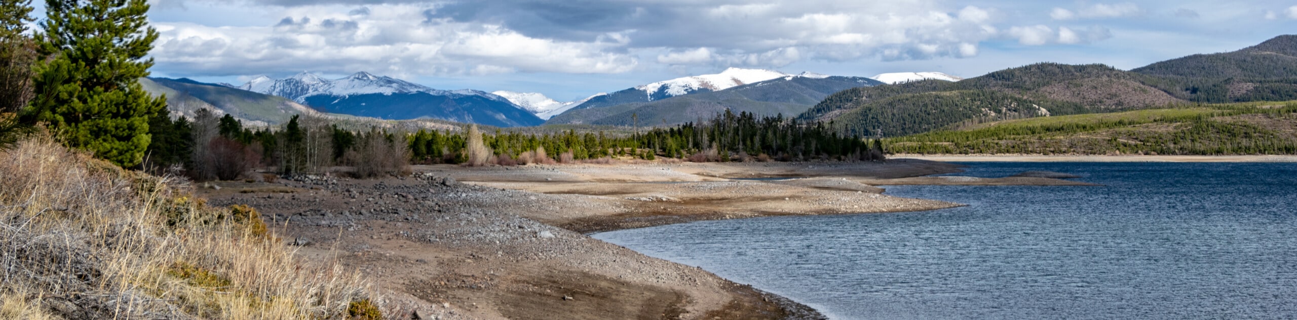
The Tenderfoot Trail is one of the most scenic adventures in the foothills. Traveling briefly through lush woodlands, the path opens to a luxuriant meadow which reveals expansive views of the Indian Peaks Wilderness. Revel in the distant views of the snow-dusted peaks that line the horizon and flank the verdant foothills below.
Getting there
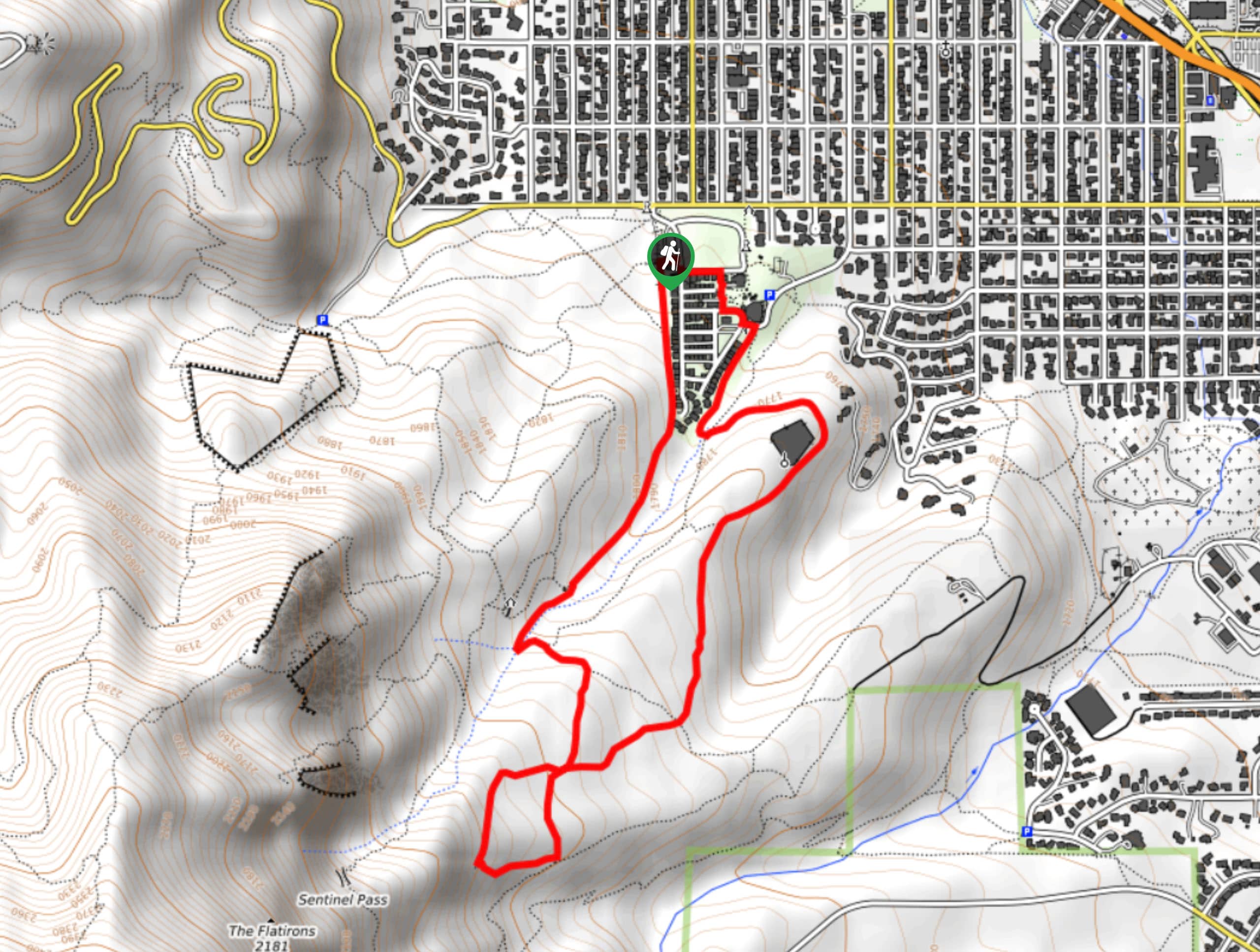
The Tenderfoot Trail departs from the Tenderfoot Trailhead off Flagstaff Road.

About
| Backcountry Campground | No |
| When to do | June-September |
| Pets allowed | Yes - On Leash |
| Family friendly | Yes |
| Route Signage | Average |
| Crowd Levels | High |
| Route Type | Out and back |
Tenderfoot Trail
Elevation Graph
Weather
Tenderfoot Trail Description
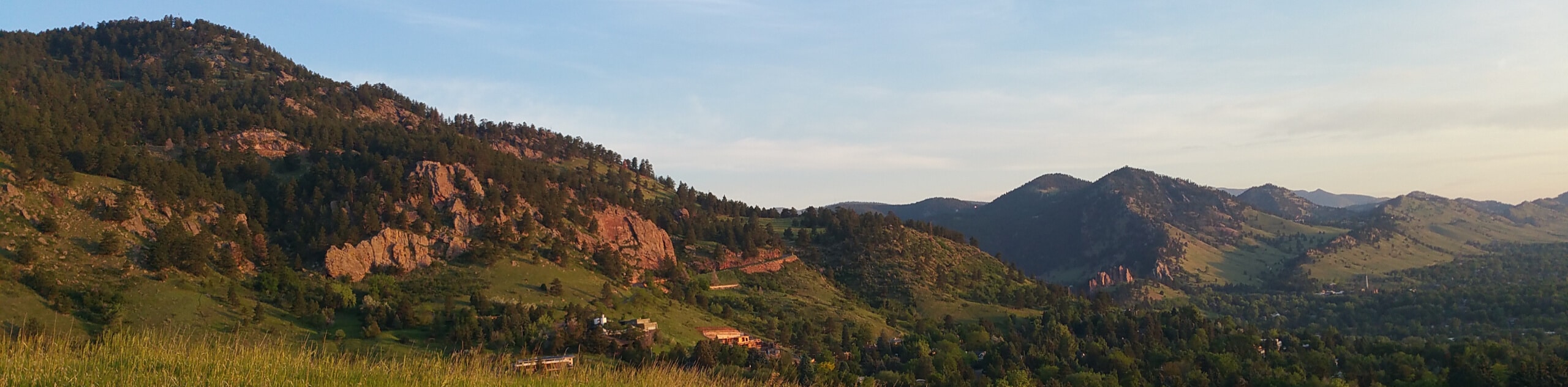
Located on the western flank of Flagstaff Mountain, the Tenderfoot Trail is a great option for those seeking a wonderful view without having to exert the effort to ascend a summit. Presenting the perfect excuse to get out into the fresh air, the Tenderfoot Trail is ideal for families and novice hikers alike. Reconnect with nature and escape the hustle and bustle of the city as you wander through Colorado’s stunning wilderness. This path is almost entirely exposed, so check the forecast and prepare accordingly! Note there is a $5USD parking fee.
Embark on your adventure along the Tenderfoot Trail from the trailhead and parking lot off Flagstaff Road. From here, track northwest through the shade of towering evergreens. The path will gradually descend into a meadow, revealing wonderful views of the mountainous wilderness below. As you hike along the ridge, be sure to keep an eye out for grazing deer!
Eventually, you will come to the trail’s end at the summit of Tenderfoot Mountain. From here, revel in the sights of the snow-capped craggy peaks in the distance. When you are ready to return, simply retrace your footing back to the trailhead or loop around on the Chapman Drive Trail.
Similar hikes to the Tenderfoot Trail hike

Crown Rock Trail
The Crown Rock Trail is a short but sweet nature walk that presents the perfect excuse to get the family…
Chautauqua, Bluebell and Baird Trail
Immerse yourself into nature and get some fresh air along the Chautauqua, Bluebell and Baird Trail. Conveniently located just outside…
Bluebell, Woods Quarry, and Enchanted Mesa Loop
The Bluebell, Woods Quarry and Enchanted Mesa Loop is a charming nature walk in the Boulder Open Space. Conveniently located…
Comments