South Saint Vrain Trail
View Photos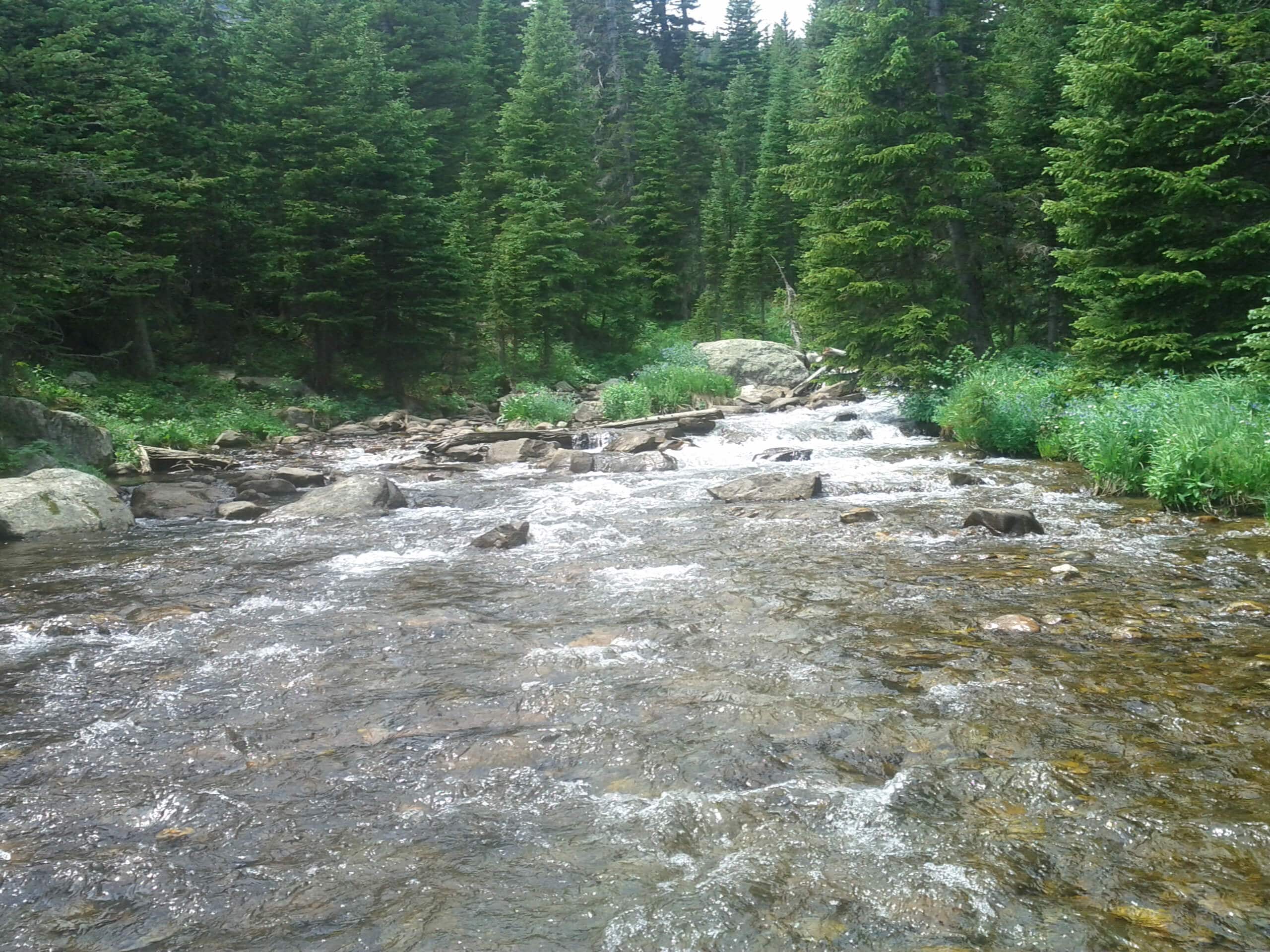
South Saint Vrain Trail
Difficulty Rating:
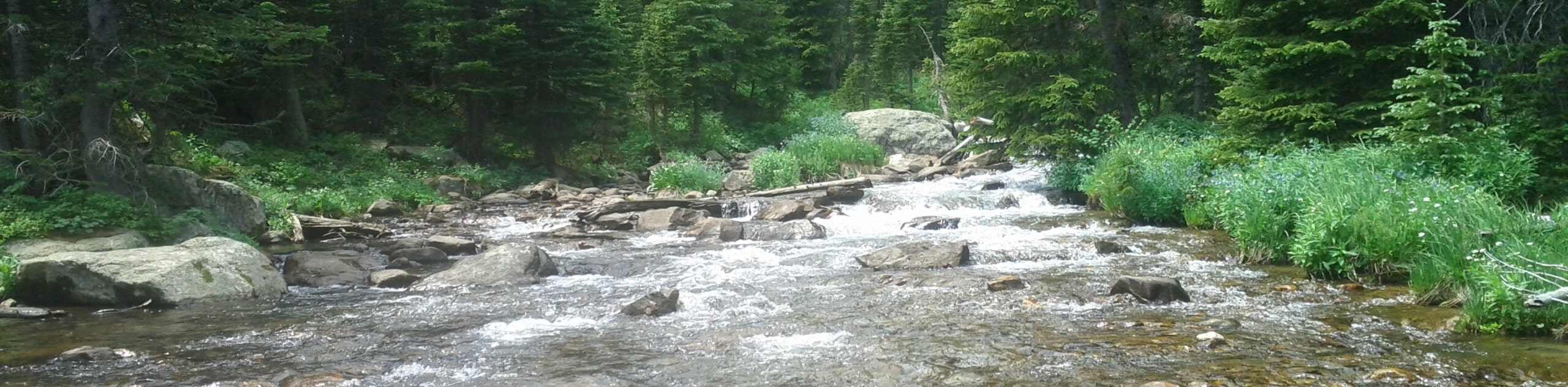
The South Saint Vrain Trail is a charming woodland adventure alongside the gurgling waters of Saint Vrain Creek. Let the ambiance of the running water lull you into a state of relaxation as you walk beneath the shade of towering pines interspersed with vibrant aspen trees. This lovely forest walk is a must-add to your hiking itinerary.
Getting there
The South Saint Vrain Trail departs from the trailhead off County Road 96.

About
| Backcountry Campground | |
| When to do | Year-round |
| Pets allowed | Yes - On Leash |
| Family friendly | Older Children only |
| Route Signage | Average |
| Crowd Levels | Moderate |
| Route Type | Out and back |
South Saint Vrain Trail
Elevation Graph
Weather
South Saint Vrain Trail Description
The South Saint Vrain Trail guides adventurers through an enchanted forest along the creek. Perfect for a relaxing day hike, the easily manageable terrain and tree shade make for a great nature walk. Immerse yourself into the wilderness as you walk amongst moose and grazing deer. Note this trail travels through bear country, so if you are nervous, consider wearing a bear bell to deter unwanted encounters with wildlife. In the summer months, hikers will be rewarded with bright wildflowers, in the autumn with vibrant aspens, and the winter presents the opportunity for an epic woodland snowshoe. Versatile and open year-round, this trail is awesome.
Embark on your adventure along the South Saint Vrain Trail from the trailhead off County Road 96, near Tumblesom Lake. From here, head south along the South Saint Vrain Trail, otherwise known as USFS Trail 909. As you walk along the forestland trail be mindful of the odd root and rock that lay on the path. The trail will begin to gently climb, but it is gradually and easily manageable by most. At the first intersection you encounter, keep straight along the South Saint Vrain Trail. There will be few other merging and intersecting routes along your hike, simply ignore these and continue along the creek.
You will intersect with a small stream before arriving at your turnaround point. You will meet the trail’s end at the junction with the Waldrop Trail. If you have some gas in the tank, keep right and hike to Brainard Lake along the Waldrop Trail, or retrace your footing along the creek all the way back to the trailhead.
Similar hikes to the South Saint Vrain Trail hike

NCAR to Fern Canyon Hike
The NCAR to Fern Canyon Hike is an awesome but challenging adventure up to the summit of Nebel Horn. Put…
Bear and South Boulder Peaks Loop
Looking for a demanding but rewarding hike near Boulder? We’ve got you covered. The Bear and South Boulder Peaks Hike…

Rattlesnake Gulch Trail
The Rattlesnake Gulch Trail is an epic adventure through the Eldorado Canyon State Park. Ascend the steep cliffs of Eldorado…
Comments