Switzerland Trail
View Photos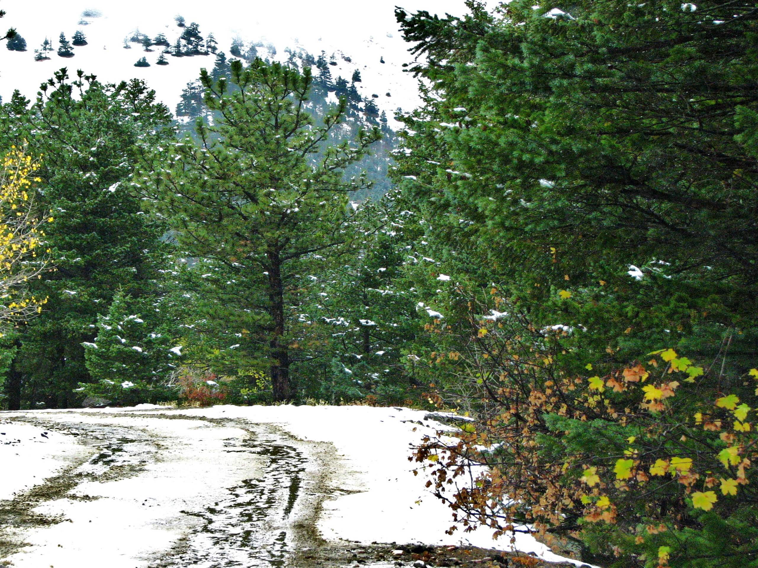
Switzerland Trail
Difficulty Rating:
The Switzerland Trail is a stunning nature walk through the woodlands to the Gold Hill Site. Attracting different sorts of outdoor enthusiasts, this path is accessible to off-roading vehicles, ATVs, and bikers, you will be in the company of fellow adventurers.
Getting there
The Switzerland Trail departs from the trailhead off Gold Hill Road.

About
| Backcountry Campground | No |
| When to do | Year-round |
| Pets allowed | Yes - On Leash |
| Family friendly | Yes |
| Route Signage | Average |
| Crowd Levels | Low |
| Route Type | Out and back |
Switzerland Trail
Elevation Graph
Weather
Switzerland Trail Description
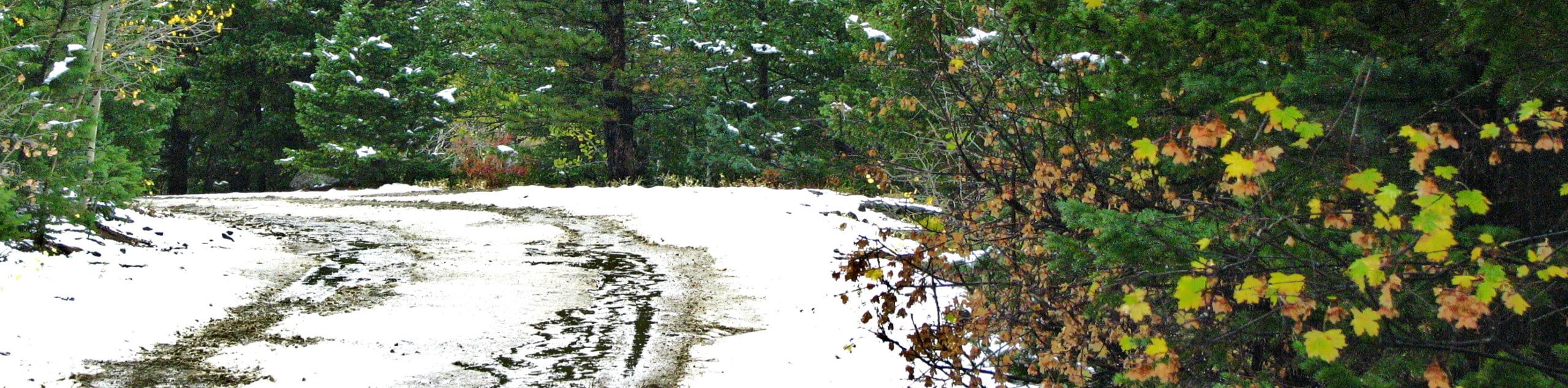
The Switzerland Trail is a charming adventure through the woodlands. Sparsely shaded, this path reveals sights of the encompassing rolling hills. Secluded compared to many of the other day hikes near Boulder, the Switzerland Hike is a great option for those seeking to hike in solitude. Though the path is shared with OHVs, the route is still lightly trafficked. Due to the sequestered nature of the trail and the surrounding wilderness, there are many bears in the area. We urge you to consider wearing a bear bell when trekking this forested route. Open year-round, the Switzerland Trail is also an epic snowshoeing track in the winter months.
Embark on your adventure along Switzerland from the trailhead off Gold Hill Road. From here, hook onto the Switzerland Trail Colorado and Northwestern Railroad route. This road is the path you will follow the entirety of the hike. Shortly after your departure from the trailhead, you will pass the Wild Tiger Mine on your right and the White Rock Mine on your left. Revel in the sights of the encompassing rolling hills, and you will eventually meet the Mount Alto Picnic Area. Rest here before continuing your hike.
Continue trekking the route and it will curve you west along an increasingly exposed ridge. You will meet the trail’s end overlooking Potato Gulch. If you still have some gas left in the tank, you can continue hiking further or simply retrace your footing along the path back to the trailhead.
Similar hikes to the Switzerland Trail hike

NCAR to Fern Canyon Hike
The NCAR to Fern Canyon Hike is an awesome but challenging adventure up to the summit of Nebel Horn. Put…

Crown Rock Trail
The Crown Rock Trail is a short but sweet nature walk that presents the perfect excuse to get the family…

Rattlesnake Gulch Trail
The Rattlesnake Gulch Trail is an epic adventure through the Eldorado Canyon State Park. Ascend the steep cliffs of Eldorado…
Comments